
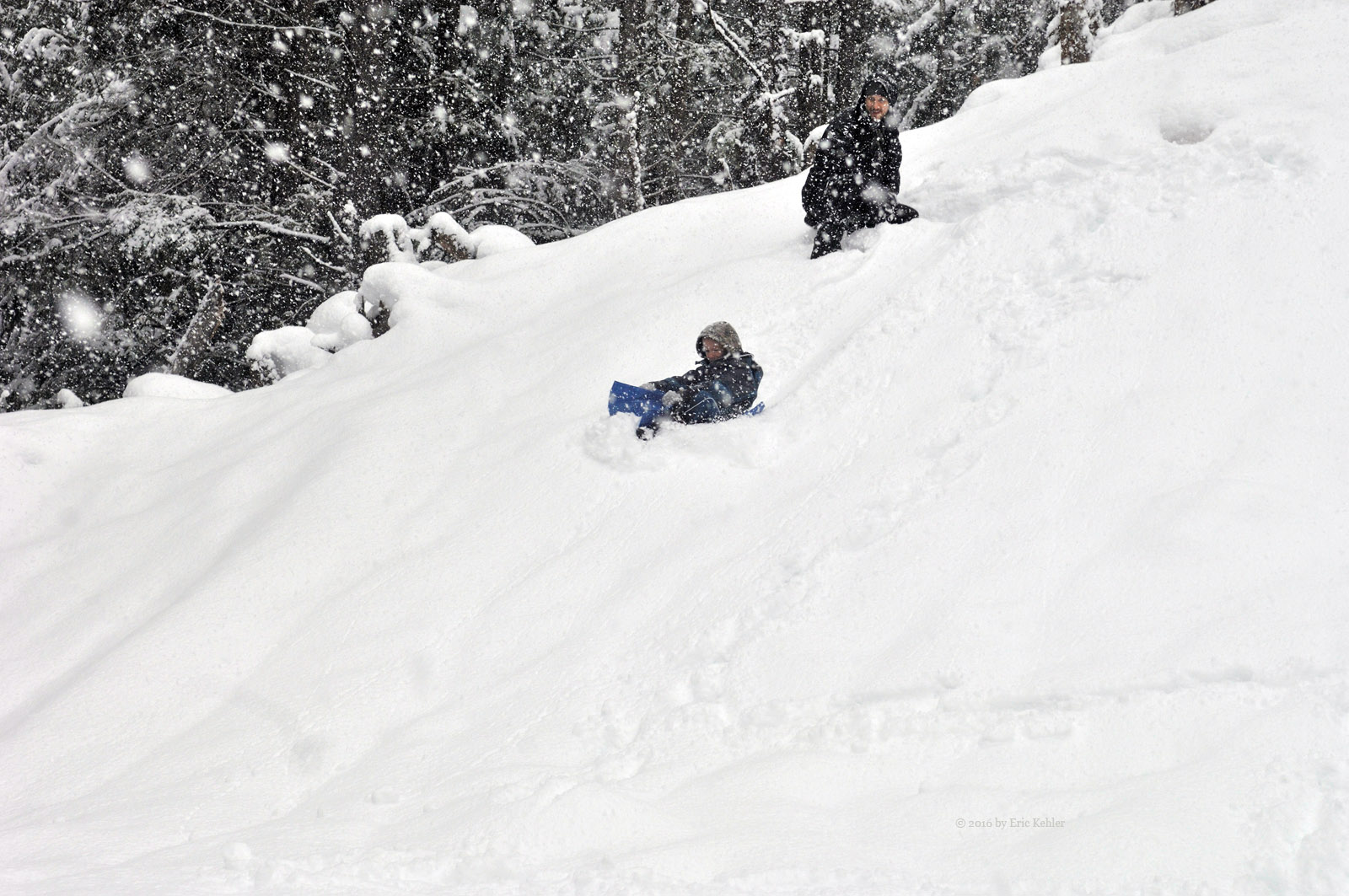
Lost Creek in the Snow

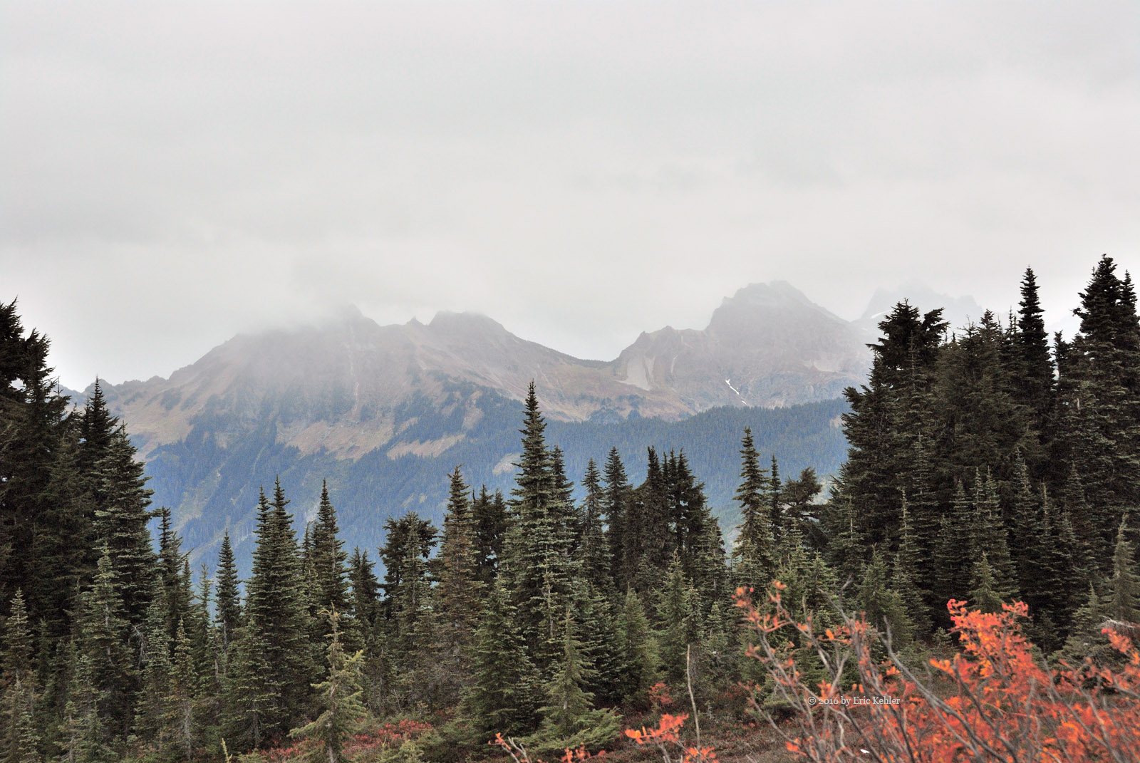
Xenial would not describe the state of the back country this afternoon! But this rushes the story so let me start with a little background.  It had been almost 3 months since Geoff and I had been out for a drive through the back woods. His younger son has been diagnosed with cancer and the treatment plan has been rather consuming of time. But as the weeks passed by, we were both feeling a growing need to get out there so we decided we go despite the looming snow storm promised by the forecasters. We also felt the Geoff’s eldest son Liam was old enough to join us and that he would like the opportunity to play in the snow.

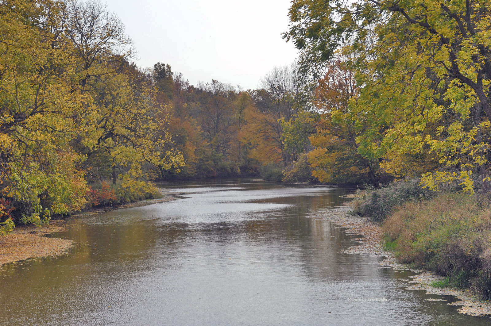
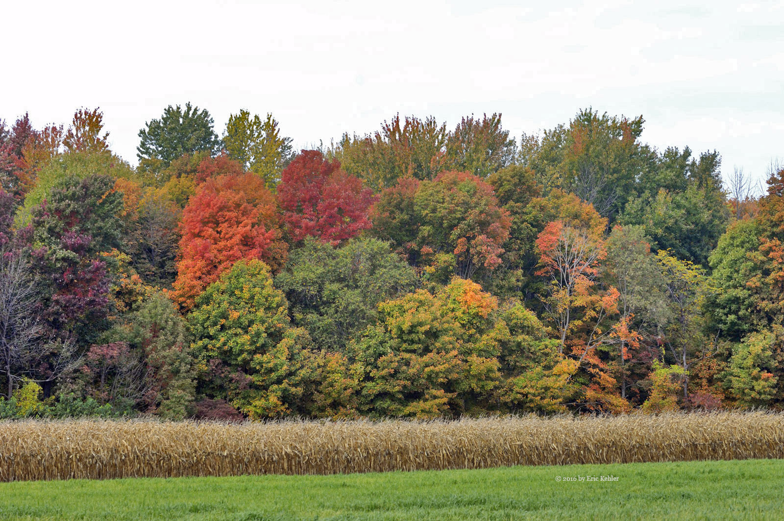
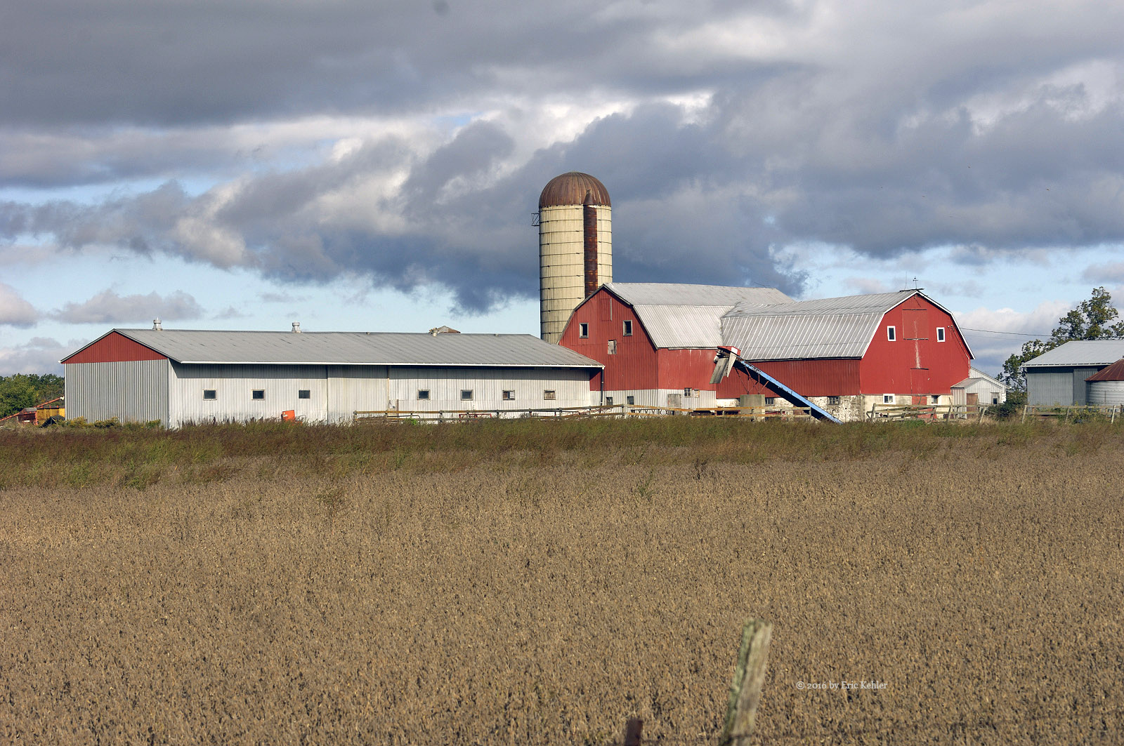
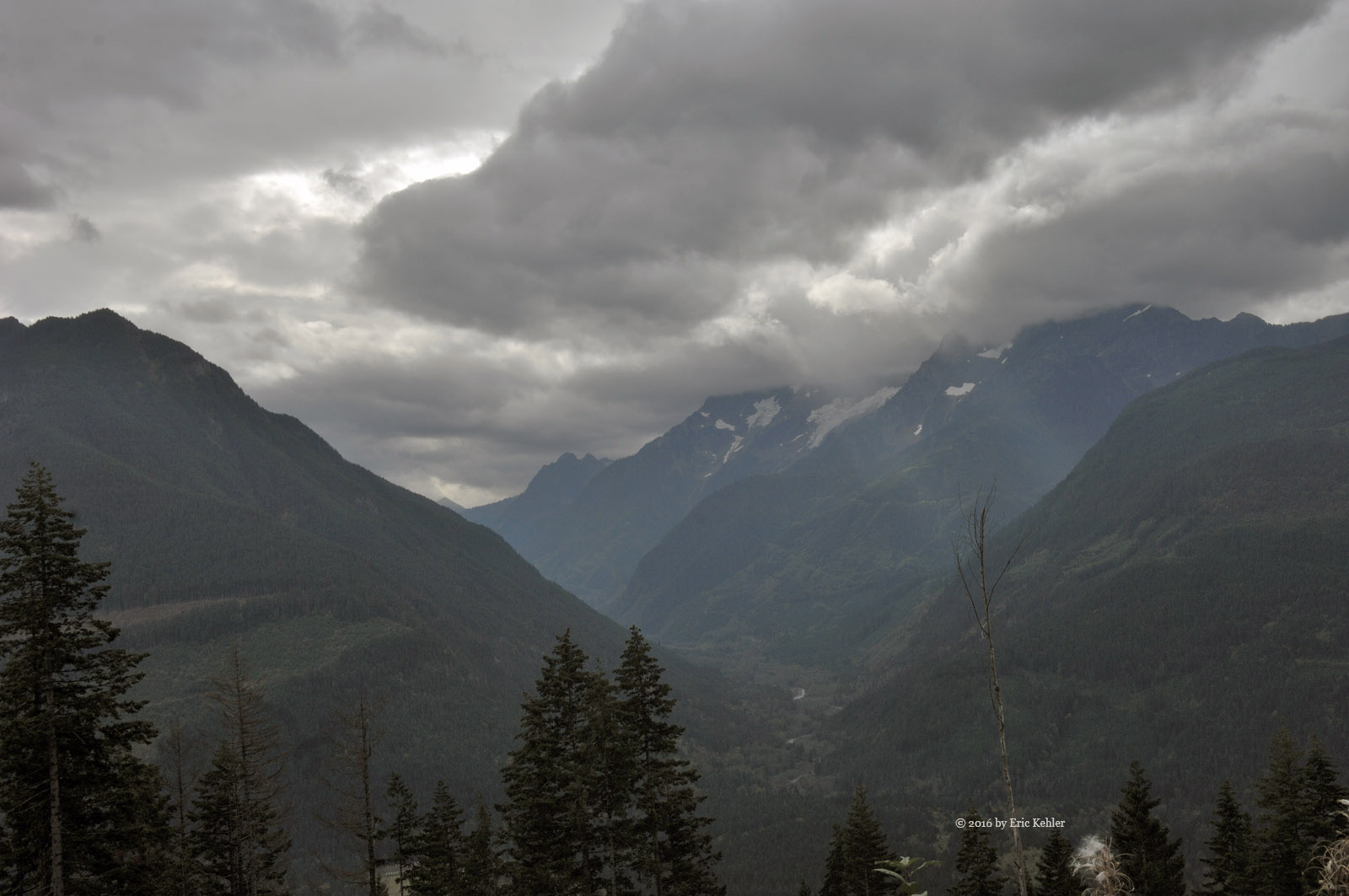
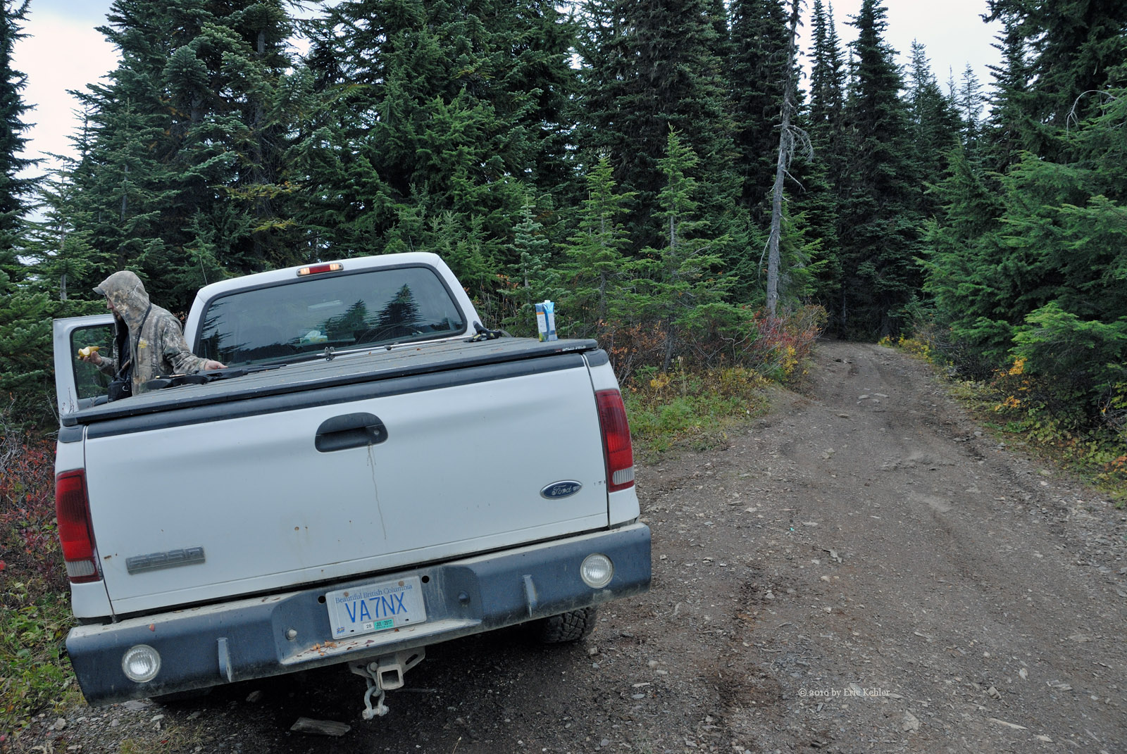
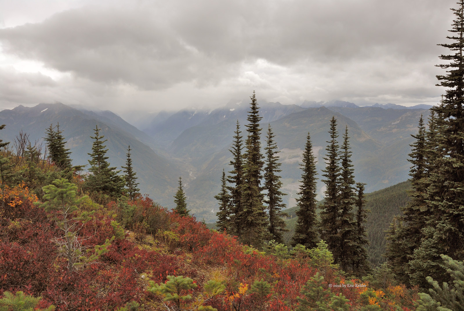
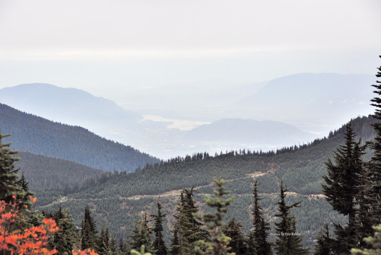
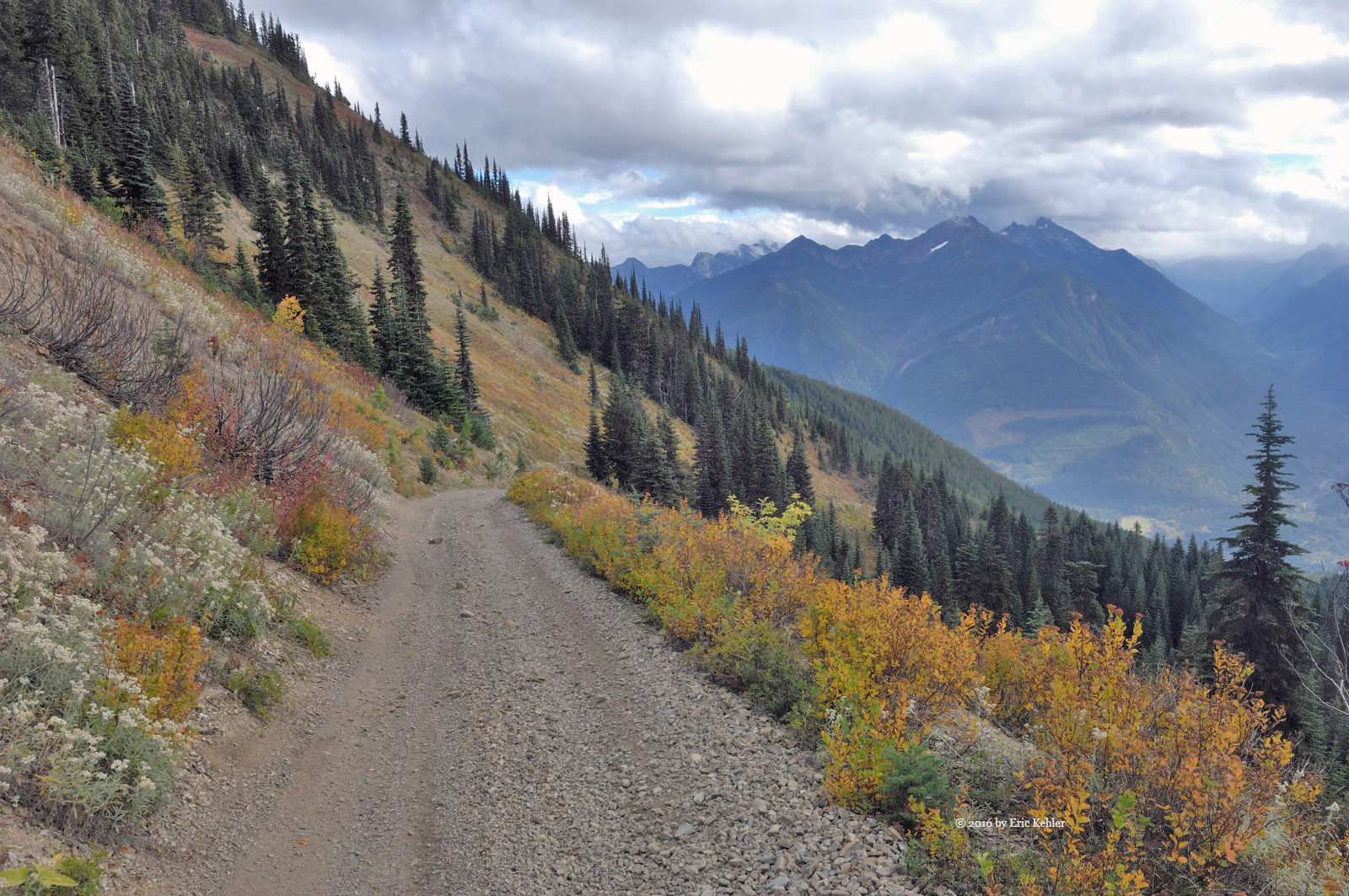
Our day began at a leisurely 9am with Geoff and Liam arriving ready to load up into the truck. We needed extra time than normal gathering the needed equipment and getting the truck loaded as it had been mostly emptied of our gear. Once we had found everything and felt we were ready we set out for the normal stops to gather coffee and fuel and this time a few extra groceries. We then set off for Mission and Sylvester Road to get to the start of the Lost Creek FSR which runs along the east side of Stave Lake. The drive up was clear of snow and we made great time along the roads.

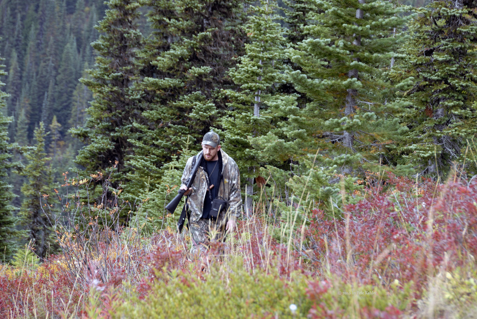
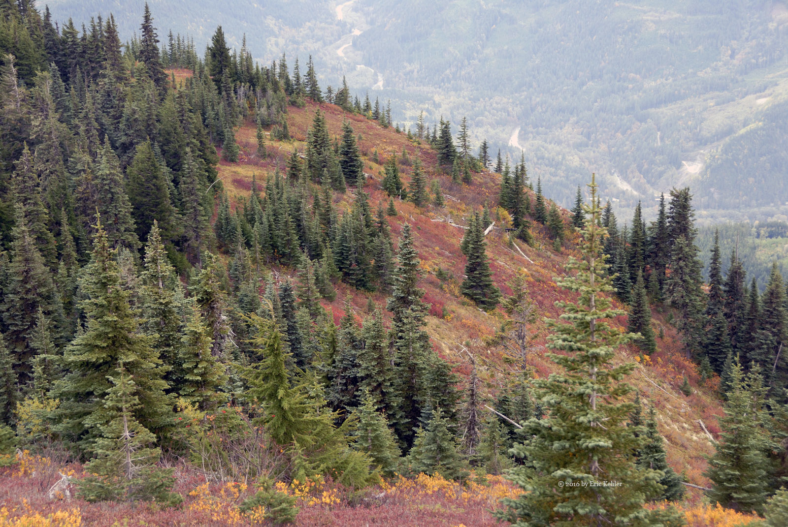
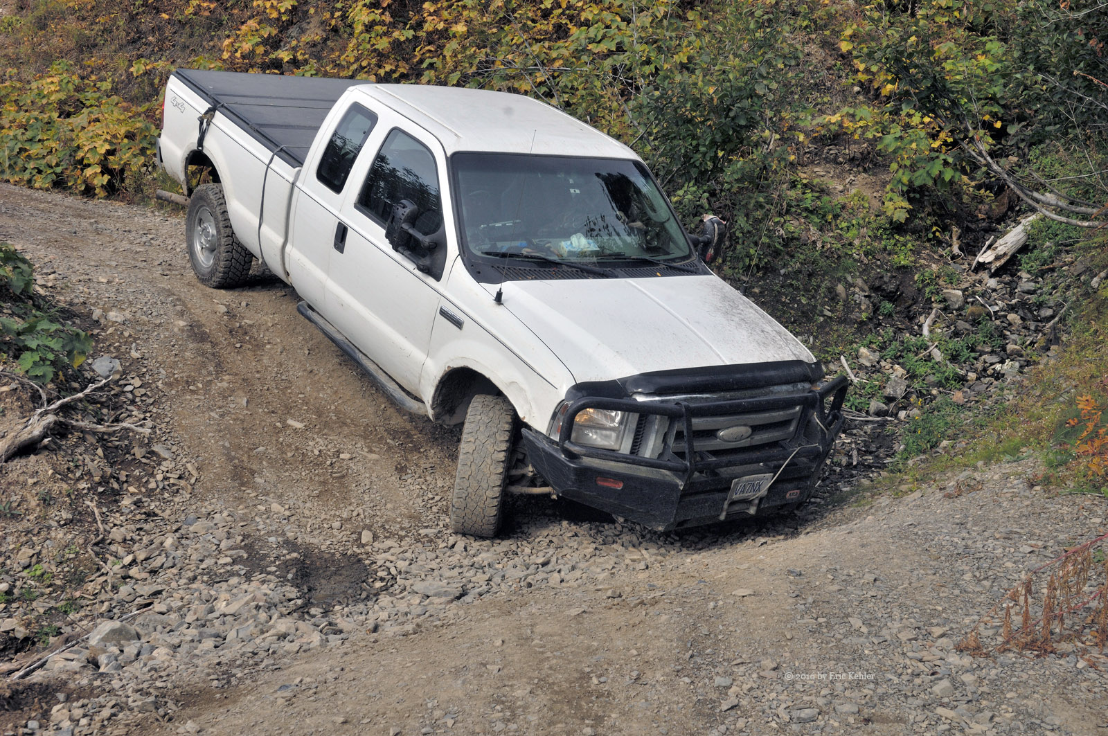
Upon arriving at the start of the FSR we passed a number of parked vehicles which had unloaded ATVs. We noticed that the FSR was covered in packed snow and the first portion is a steep incline. We dialed in the road frequency on our radio and started up the slope. We had little trouble and soon we were making our way in, though we were now trapped in some deep ruts. This went along fine until we were faced with a couple of trucks coming towards us. We tried to pull out of the ruts as did they but neither of us were able to get completely free of them, our back-end just insisted on staying in a rut. This left us facing each other unable to pass. We suggested to the other drivers that we could get our chains on to get better traction. They happily waited for us to complete the task. It had been a couple of years since we last used them so we were both impressed that we got them on so quickly. Once on, we easily zipped out of the ruts and made room for the others to pass. I should say that while we were putting on the chains a side-by-side ATV zipped past all of us in the deep snow alongside the main rutted section of the road! They had no trouble with this deep stuff.

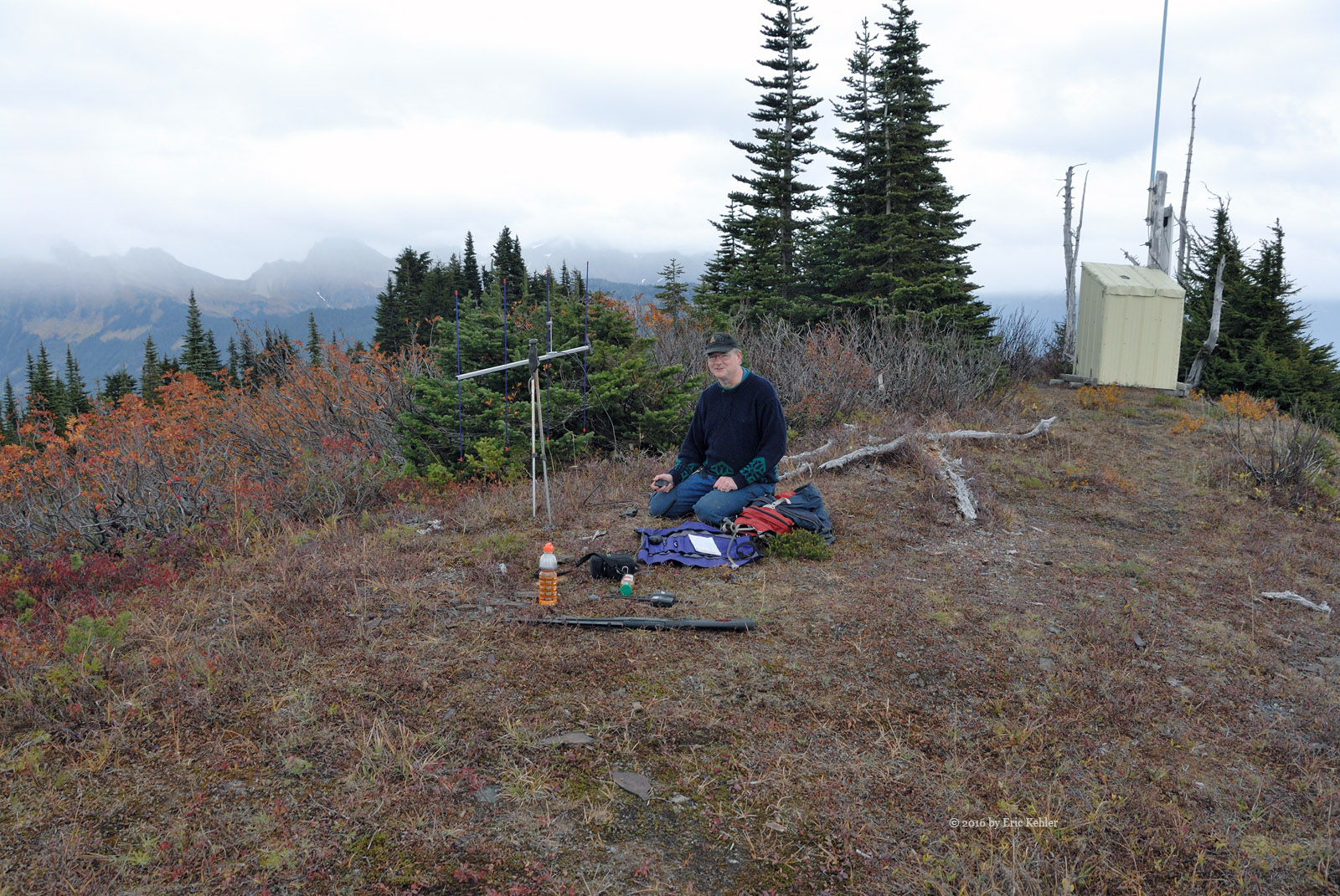
We continued in further passing a few small groups pulled to the side doing target practice or enjoying a bonfire. By now the ruts were getting even deeper and travel outside of them difficult. We went a few kilometers further and found a wide section near a side road with some steep slopes. Here we turned around and parked. We soon noticed that it had started to snow and the time had advanced to noon! As it was lunch time Geoff and I got our burners going and lunch cooking while Liam ran around the area playing in the snow. He was having a fun time but was unsure of what he was allowed to do out here in the hills. Geoff kept telling him that really he could do almost anything! Once the food was hot we enjoyed the warmth for the moment. After we had finished eating we walked over to the steep slope and there watched Liam do a number of slides on the tarp we had with us. He was definitely enjoying himself, though it had taken some coaxing to get him to come.

After Liam had slid the slopes enough we started back to the truck. By now the snow was falling fast enough that it was hard seeing very far ahead. But we made it back to the truck in short order and started back along the road which we had travelled earlier. About half way back we came by a group in a truck that flagged us down. They were on a short spur that was steep and icy enough that they couldn’t drive it. They were particularly worried about a large boulder just to the side of the road that their truck was slowly sliding towards. It wasn’t a long distance so we hauled out the tow straps and latched on to their truck and pulled them onto the main road. Meanwhile a pair of jeeps came by and had to stop and watch as we completed the task. They were having no issues with the snow. Liam thought it was a lot of fun watching his dad pull the other truck off the ice. But they were now facing the wrong way and the best spot to turn around was on the other side of the ice patch. So they drove back down and reversed but ran into the same issue. So we got to pull them across a second time!

Continuing on, the snow was falling ever faster and we decided to just head out, so we carefully drove the ruts until we were off the FSR. Once back to the paved road we removed the chains and noticed that what was bare and clear on the way in was now covered in a few inches of snow! This slowed us down considerably as we drove the roads back home. At times we were further delayed by some very slow drivers in front of us. We made it home with no issues but the snow was falling the entire way. Soon we were able to warm up in the house! A short drive in the hills but full of adventure and lots of fun for Liam.


The Drive Back (Day 11)

We enjoyed a drive along back roads for most of our trip to the airport. It allowed us to stop and gather a few photos as we went. Unfortunately the clouds were generally in the way of the sun and the colors were therefore quite muted. As the afternoon drew closer the sun came out more but in the area we were driving the colors weren't as interesting.

Carolyn found a convenient pass time while we were stopped for me to gather a few photos, she got out and walked and then I drove to pick her up. It worked quite well for her, allowing her to get a full days’ worth of exercise when we hadn’t thought it was possible. Along the drive I did enjoy a few spots with some bright colour but these roads weren’t as scenic as the roads I was driving earlier in the week. Still we had a decent day and I explored some new areas.

Overall, it has been a good trip, I didn't spend as much time driving this year but the stops I did make seemed to be more effective. I felt more relaxed to just stop and quietly enjoy each spot more fully and so I didn't need to go for quantity. Maybe next time I can concentrate even more on a few special places.

Port Stanley and John E. Pearce Park (Day 8)

Vibrant colors were getting more and more prevalent as the week progressed. Today I spent the afternoon driving and enjoying the sights. I relaxed this morning, going only for a walk to the beach. I spent some time shooting the lift bridge for my next Christmas book as we crossed over it during the walk. I may end up featuring it.

Done with lunch, I dropped Carolyn off at the knitting shop in St. Thomas for a weekly get together. Then it was straight down Fingal Line to John Pearce Park. I wanted to revisit it in calm weather and see the contrast from the earlier windy visit. When I arrived I noticed that there were several cars parked by its gate. I started walking the road through the park and met a chap who was heading out I asked him about the track marks he said it was done by the ministry as they were planning on adding some fencing. He wasn't too happy about it.

I continued on and gathered a few photos from the cliff and then hiked down to the beach below the park where I gathered a few more. It was quite pleasant down there and I went for a bit of a walk along the shoreline below the cliff. Once done with the beach I returned to the car and drove further west. It was time to contact Ralph on the radio so I found a spot to park. I tried the repeater but found that the antenna on the roof was not strong enough so I set up the yagi on my camera tripod. It worked well and I could get into the repeater with it, only it said it was updating and not available! Quite annoying as I had forgotten to bring my list of alternates.

I packed up the radio gear and set off for Duttona Beach which I visit every trip out. I gathered some more beach shots and also a few of a small foot bridge. I then left the lake and drove a few close-by backroads gathering photos. Carolyn called to say needed to leave early so I set off to pick her up and so ended my exploration for the day.

Lake Line and Parts West of Port Stanley (Day 7)

Until I got out to the west I had the impression that I was too early for good colour. The trees next to the lake and west of the port were in full colour and I enjoyed a wide variety of photo spots. I left just after breakfast as the sun was out and the forecast was for rain in the afternoon so I needed to go early to have good light.

The other benefit was that the sun was now in the east lighting trees differently that when I roamed the area in prior years. It helps to get up early the odd time! There were many lovely trees right from the start of the drive. I stopped and gathered so many that I didn't get very far along the coast.

I did get to John Pearce Park and there the colors were a bit early but the trees still offered some interesting sights. I met a local resident in the park and chatted with him for a bit. He lives across the street and visits the place often. He said he had come out as he had heard some loud noises and thought a boat might have been grounded but it was only the wind in the trees. I gathered a few photos and then decided to walk to the cliff, when I got to the edge of the cliff the wind was very strong and almost able to blow me over. The scenes in the wind were quite pretty. I marveled at the strength of the wind and the pounding waves below. This park has some great spots to enjoy nature especially in a storm.

After my visit to the park I noticed that the clouds were the deepening and the light more sporadic so I decided to start back. I did find a few more locations, when the clouds cooperated, which had some great shots to stop and capture on the way home. The dimmer light allowed me to concentrate on some more intimate settings rather than the wide panoramas. It was a great morning, short but very enjoyable.

Roberts Line (Day 6)

The morning was mostly overcast but the temperature was up with the promise of a good day ahead. I spent the morning reading and once I had finished lunch the sun was starting to break through the clouds so I set out for the eastern roads that I have done many times before.  I decided to keep my driving today short and sweet. So I drove straight to Roberts line and started looking for scenes. Not too far along, the road enters a section with forest on both sides, here I parked and got out to walk along the road. The sun was not yet bright so I was looking for some solid patches of muted colour amongst the trees. I found quite a few things to capture. It felt great being out here and walking a bit along the road.

I continued along the line for the next while ending up in Jamestown where I gathered some great shots in the sun now that it had come out. As time was closing in on when I was to do a radio contact, I decided to avoid port Bruce and so I started back towards home. I was not seeing as much colour until I turned north heading back towards Roberts line. I did get a few more photos before my radio contact. At the time of the contact I tried the repeater but it wouldn't connect, I tried a few more but none would connect me to Vancouver. It was quite annoying. So that task failed. Later in the day, I tried again and I did succeed in reaching Ralph while he was on his way home from work.

Done with the radio, I decided to head home and just relax in the sun and to go for a walk with Carolyn. The city has vastly improved the harbour and beach area for walking so it was very welcoming. The afternoon was perfect for walking to the beach and so we went enjoying the warm breeze.

Niagara-on-the-lake and Welland Canal (Day 4)

Searching for scenic shots took us today to the Niagara-on-the-lake region. We set off from Grimsby directly for the Niagara-on-the-lake while keeping an eye out for some splashes of colour. We saw very little along the lake but we did enjoy the warm sun and some lovely weather.

We pulled into the town of Niagara-on-the-lake and parked at a small park on the side of the Niagara River. It wasn't too crowded so we were able to gather some photos without much interference. There were a couple of bright colored trees but most were green. We enjoyed a look across the river and out towards the lake, it was smooth and quite tranquil, the small boats seemed to be having a good time out there. As we wandered around we stopped to watch a small wedding party perform the ceremony. Once we had completed a circuit of the park we left and sought out a gallery featuring wildlife photography. We found the gallery and enjoyed the amazing photos being displayed.

While at the gallery we became increasing aware of hunger and we started thinking of food but the crowds walking the Main Street left us cold so we returned to the car and made for the exit from town. We found a small restaurant "the pie place". We drove past it twice before spotting it. The food was more extensive than just pies and tasted very good. We both felt that we will be back one day.

Our next target was of the sky bridge across the Welland canal near St. Catharines. We spent some time driving around it looking for various angles to capture. We then travelled up the canal a short way to photograph another lift bridge and waited and watched as a ship made it way up the canal and under the bridge. It was another well timed opportunity.

Done with the bridge and as the time was running on we decided to head home and call it a good day. It was not full of colour but the scenes were well worth the time to enjoy.

Exploring the West Cambridge area (Day 3)

Reviewing my day’s adventure as I write this brief note brought some lovely memories back of my drive through the back roads. We started off by heading south out of Grimsby, up the escarpment and south to Mud road.  Not too eventful so far, we then turned west and merged onto to the highway, turning off for a drive north at highway 50. As we left the highway we were starting to see stands of colored trees. It was finally looking promising.

We continued along and eventually turned onto some side roads where we found some amazing trees. We had finally found some of the great fall colour we had been seeking. Mike and I took some time at a small number of spots gathering photos. The trees were quite spectacular. After gathering a good number of photos we decided to find a restaurant for lunch. We found a diner on highway 6 at Carlisle road. They offered a decent meal and we left feeling nicely full.

Our continued driving took us further west and soon we were following a giant combine that was making its way along the road. They soon let us pass and we were able to find a few more spots of colour. But we had backtracked to the road we were on before lunch! So we zipped past and continued along further where we came by a field of marsh grasses which offered us a few new sights to shoot.

Then some more colored trees were found and now it was time for making a radio contact with Ralph in Vancouver. We were able to link into to a repeater in Burlington and this time Ralph was waiting for us. We had a long chat and then tried a bit of H.F. with my new radio, we were able to listen to a chap in California.

By now time was pushing on and we needed to start making our way home. Though we did spot a few more lovely trees we didn't have a chance to shoot them. So tomorrow we plan to continue the adventure and try a few new locations.

Niagara Region (Day 2)

Q
uesting after fall colors is why I come to Ontario in October. Over the years I have generally had a wide range of color displays. This year I am here a bit ahead of the peak fall colours so our drive through the back roads was not finding us much to shoot. The sky was still quite overcast so the colors that were out were muted.  But this is getting a bit ahead of my story.

Being my first morning in Grimsby this year, we started out at 10am after a slower start due to jet lag. Breakfast was good but I always eat too much here, I need to try harder tomorrow. Mike arrived at 10 as planned and we got my gear together and carried it to the car. We had no definite plans so we decided to just head up the escarpment and drive south. The day was cool and a bit breezy with some gnarly clouds but it promised to clear as the day progressed.

Once up the escarpment we drove straight south looking for some color. Eventually we came by a field with colored trees at the far side. The sun was occasionally peeking out and lighting the trees so we didn't have long to wait for a brief view of some color. We gathered some photos and moved on. At this point I mentioned that I was collecting some bridge pictures, so Mike decided to head towards the Welland Canal area. We drove past a good number of fields and trees but little was inspiring us to stop.

Eventually we came to an older bridge crossing the canal for highway 20 but it was closed for maintenance. There was a parking area to the side so we pulled in there and parked and then we started scouting for photos. The parking area had one of the huge pulleys used in the bridge on display so we started with some photos of it. Then wandered along the canal to a spot where we could get a good view of the bridge.

Done with the bridge we walked back to the car and started off for the next adventure. We crossed over highway 20 and continued along the canal. Here we spotted a side road that led back to the canal on the north side of the bridge. It looked interesting so we decided to drive to the canal and take a few more bridge photos. Then the lift section of the bridge started rising but as we saw no ship we assumed it was for maintenance. A few more photos and we were back in the car and driving off but after a hundred feet Mike spotted a large ship heading up the canal! We quickly parked again and gathered a few more photos of the bridge with the ship. Now we had a good collection of interesting angles of the bridge and we packed up the third time and actually left

It was now lunch time and we looked for a spot to eat. A cafe in Thorold was found (On the Front Cafe and Eatery) and we went and ate. They had some really nice soup and sandwich choices which were very flavourful. A good find.

Once done with lunch we continued through the back roads and found a section of the escarpment with some color, the sun was now out full time. This section was formed by the stream that also flows through the Morningstar Mill where I have taken photos before - the Decew falls. It was a lovely spot in the sun. We then continued west slowly heading back to Grimsby and there we spotted a vineyard with several rows of grapes still on the vine. The purple grapes looked good and so we stopped to gather pictures.

As we completed, Mike reminded me that I had planned to do a radio contact with my friend Ralph in Vancouver. I got the radio going and the link up but we had missed him.

We then slowly made our way back west and closer to home but we didn't find anything more to shoot. So our day ended with many interesting photos but not a lot of color ones.

Mt. Mercer

Putting Mt. Mercer in perspective as compared to my other hikes, it is one of the easiest. That said, the drive up the old Thurston FSR was more difficult than I expected. Getting back to the start. I was planning for my 11th summit hike this year and I wanted to do a first time SOTA activation of a local peak. Originally I was looking at Mt Laughington but the weather was questionable and I didn’t want to get caught out in a heavy shower. So our fallback was Mt. Mercer which was much shorter.

Our day began at the decent hour of 8:30 when Geoff arrived with his two boys. We packed up the truck and set out for the regular pre-hike stops. Then on to the Chilliwack River Road. We had a brief delay on the road due to a major paving project. It was looking good, the road will be quite nice once complete. Once past the paving we made quick time to the start of the Chipmunk FSR and turned off the pavement. The initial drive along the bench road went quickly though the potholes were quite brutal in a few places.  Soon we were starting up the Thurston FSR for the ridge far above us.

The initial section of the road isn’t too bad. It gains elevation at a decent rate but not overly fast. This lower section is fairly well travelled as there are a number of side roads to viewpoints that seem quite popular. But then one enters the steep section of the road. It also is much narrower and the cross-ditches much deeper. The drop off from the side of the road is also fairly significant. Soon we reached the place where we had to stop back in 2008 and continue up the road in our snow shoes. Today the road was clear but just as steep. As we reached the end of the section we snowshoed we encountered a deep ditch that gave us some trouble. We just couldn’t get traction to climb back out of it. Eventually we had no choice but to get out the winch. We tied off on a tree and pulled the truck across. Not overly difficult but our batteries are getting weak so it was a bit uncertain as to whether they had it in them. Fortunately they did and we continued to the next ditch.

This ditch also stopped us but we backed up and gave it a go with some momentum and made it across. The rest of the way to the ridge was easy and as we were almost there it went very quickly. Once on the ridge we noticed a road heading along the ridge towards the summit so we started up it. It got us about 150m closer to our goal before the road narrowed to a dirt bike route. We parked the truck and geared up for the hike. The weather was holding though we did feel the odd drop. I was not wanting to drag it out too long so we set off quickly and were soon making our way along the bike route.

The trail was easy to travel and though very steep in a few places, we made great time to the summit and once there we spotted a repeater shack! It was a solar powered unit for Search and Rescue with a big sign saying don’t damage it you may need it one day. The area around it was broad and flat so I had ample area to spread out and set up my 2m yagi. The rain had held off so far but one never knows where a shower cloud is lurking. I had myself on the air very quickly and immediately received a response from a ham in Port Angeles and then a second at the Victoria Airport. My third was from a chap in Nanaimo! I love the distance you can get with a small hand-held – that was 170kms! Radio really is amazing. I put a couple more contacts in the log and then stopped to eat a few nibbles before tearing down. Now I could relax and look around, the autumn colours were in full force on the blueberry bushes and the slopes looked amazing. I gathered a number of photos but Geoff was getting chilled so we quickly packed up and started back down the path to the truck. It was only about 900m each way. It is definitely worth another go but I need a smaller vehicle to drive the road in.

Once back at the truck we hauled out our stoves and heated some soup for lunch, it really is nice in the cold air. The rain was still holding off though we did get hit with a very small short shower. Once finished eating we started down the road. With gravity with us we managed to cross both ditches without difficulty though we still had to preplan our route. As we reached the gentler section of the road, Geoff started into a switchback and didn’t see a cross-ditch which sent us into the roof of the cab as the truck dropped into it. I had forgotten to remove my cap so I ended up with a nice hole in my scalp once again!

Done with Mercer I wanted to check out the road to Mt. Laughington. We confirmed that the gate is no longer an issue, it couldn’t be locked even if one wanted to lock it. The initial road is steep and quite eroded with runoff. But once past the initial section the road continues up the slope in a narrow opening between the encroaching Alder. We soon came across an old pickup that has slid into a crossing stream that had dug a deep rut across the road. At first I thought it was blocking our way but fortunately the area behind the truck was wide enough for us to pass.

We continued up for a few kilometers and soon came by two parked SUV’s and beside them was a marker designating the start of the trail to Baby Munday Peak. This trail was in the news earlier this year as an experienced hiker had gone missing on his way down from the summit and even after extensive searching for him he was not located! Geoff also spotted a Grouse so he set off after it with his rifle. He didn’t find it again so he soon returned to the truck. Continuing up the road, it was now even more overgrown and we had to pick our way carefully through the trees. I eventually found the fork where we will need to park to start the hikethe the summit of Laughington. So our scouting was complete and we turned around and made for the pavement far below. The drive down was fine and we were soon back on the bottom road in traffic! Fortunately they let us pass and we made good time to the Chilliwack River Road. The drive home started well but it wasn’t too long before we were hit with a heavy shower! The rain held off just long enough for our adventure!

Subscribe to 2016