Capturing the Art of Nature
A visit with McKee and my Grandson
It was a lovely day for a hike up a small summit while spending time with one of my grandsons.
Category
Summits on the Air
2025
Click on image to view gallery
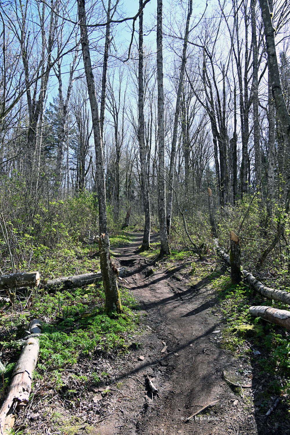
T his hike up McKee peak is only about a 35-minute walk along well travelled trails and an old road. The trails are heavily used by mountain bikers who have made numerous routes around the summit with jumps and steep turns to add some fun to the descent. The challenge of this hike is not the elevation climb but the avoidance of cyclists roaring down the trails. Since I hadn’t hiked it yet this year and it isn’t too onerous a walk, I thought it would be a good candidate for my almost nine-year-old grandson Elijah who had expressed interest in going with me.
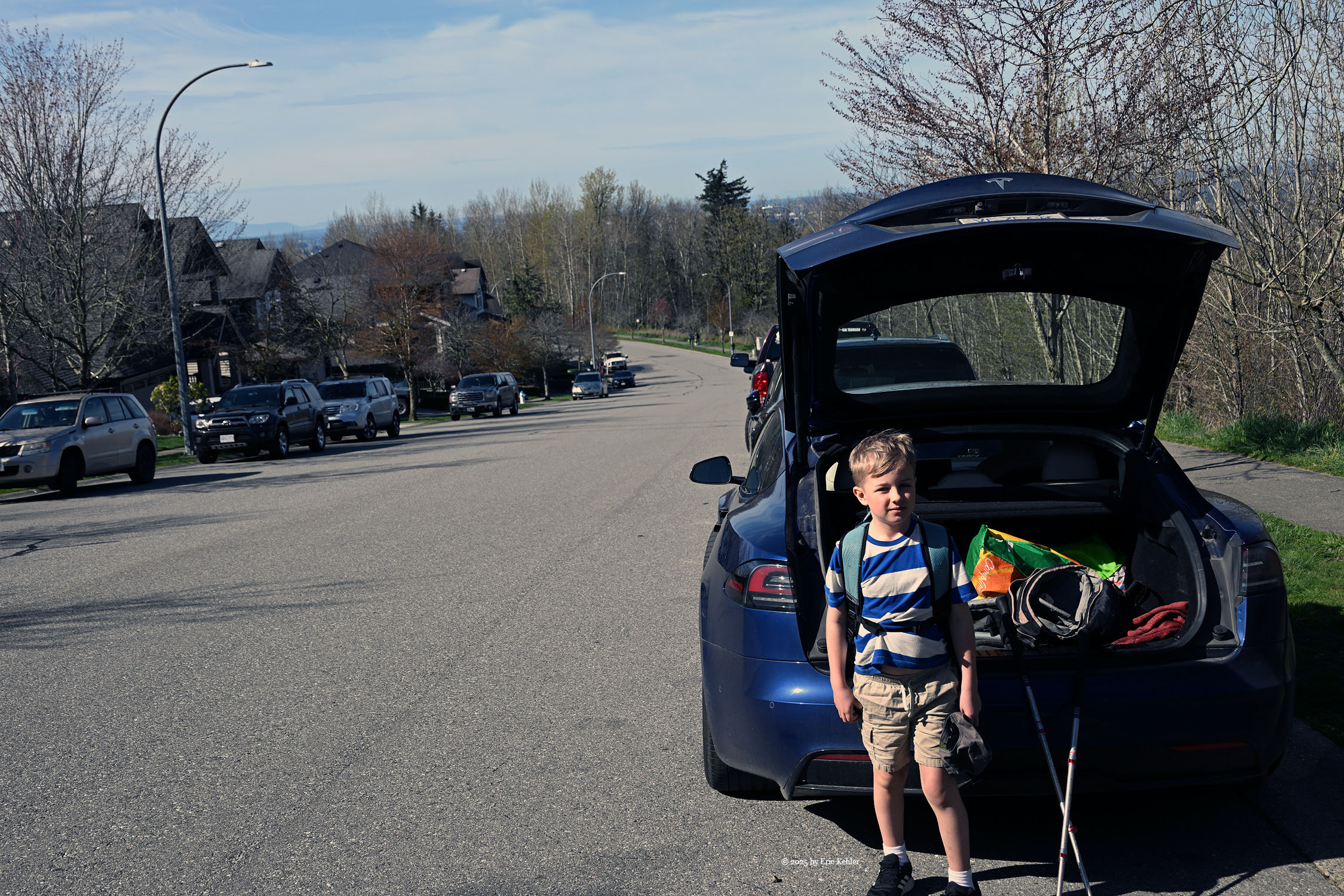
Elijah was dropped off at my house a bit before 10am and we soon had him, his backpack and my stuff loaded into the car. We set out on what the navcom said would be a 47-minute drive to the highest road end on McKee Peak. We made good time along 16th avenue which was over half the length of the drive. Soon we were climbing the shoulder of the summit and looking for a parking space. The end of the road had a good number of cars parked but this time I noticed that the no parking signs on the north side of the road were gone, and cars were now legally parked there. I saw a nice spot for my car and drove into it. We arrived right as predicted by the computer.
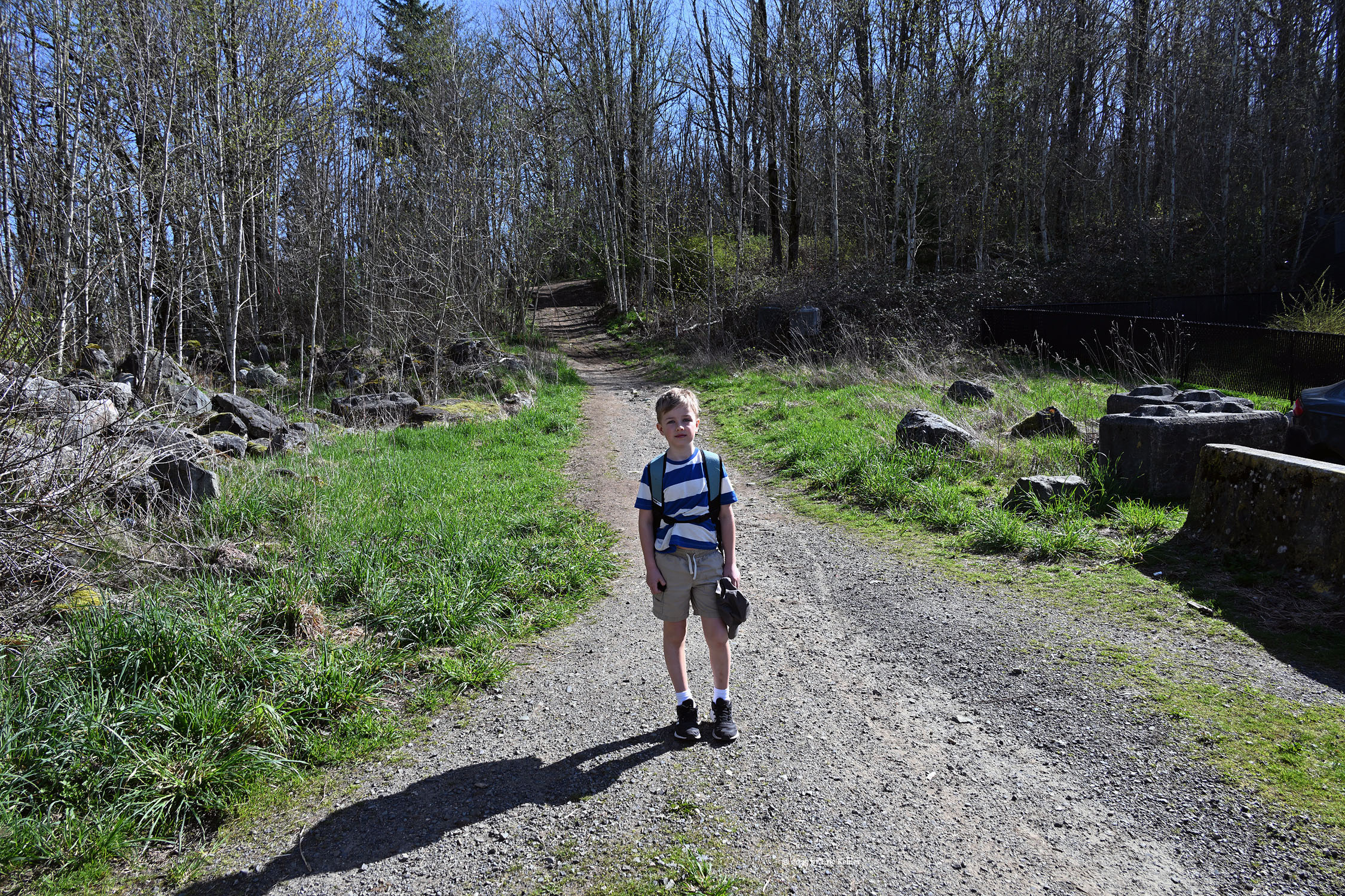
Once parked, I got my hiking boots put on and we both donned our packs and after a photo I reviewed the map on my iPhone with Elijah showing him the route we would be taking. Then we were off to the trail. Not far in there is a fork on the trail, I stopped and asked Elijah which way, without hesitation he said the right-hand route. I asked why he thought that; he replied that was the way the map showed. He showed that he has a great sense of map reading and applying it to the physical world. I know many adults who would not have done as well.
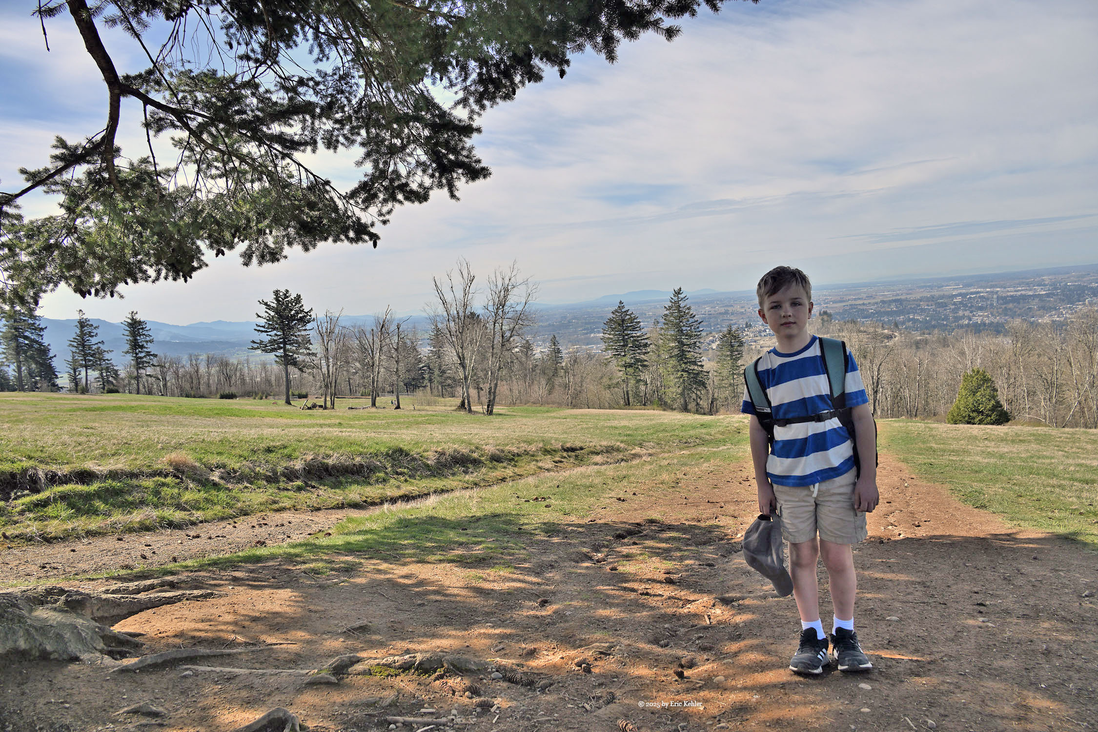
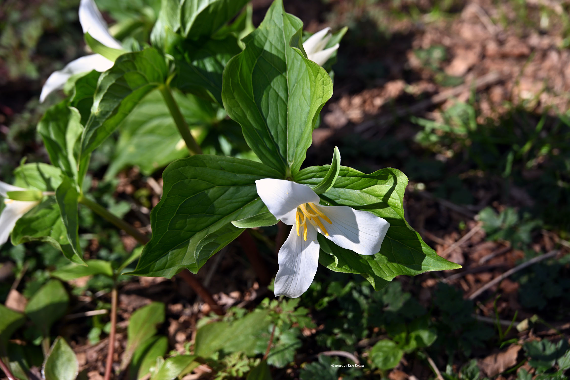
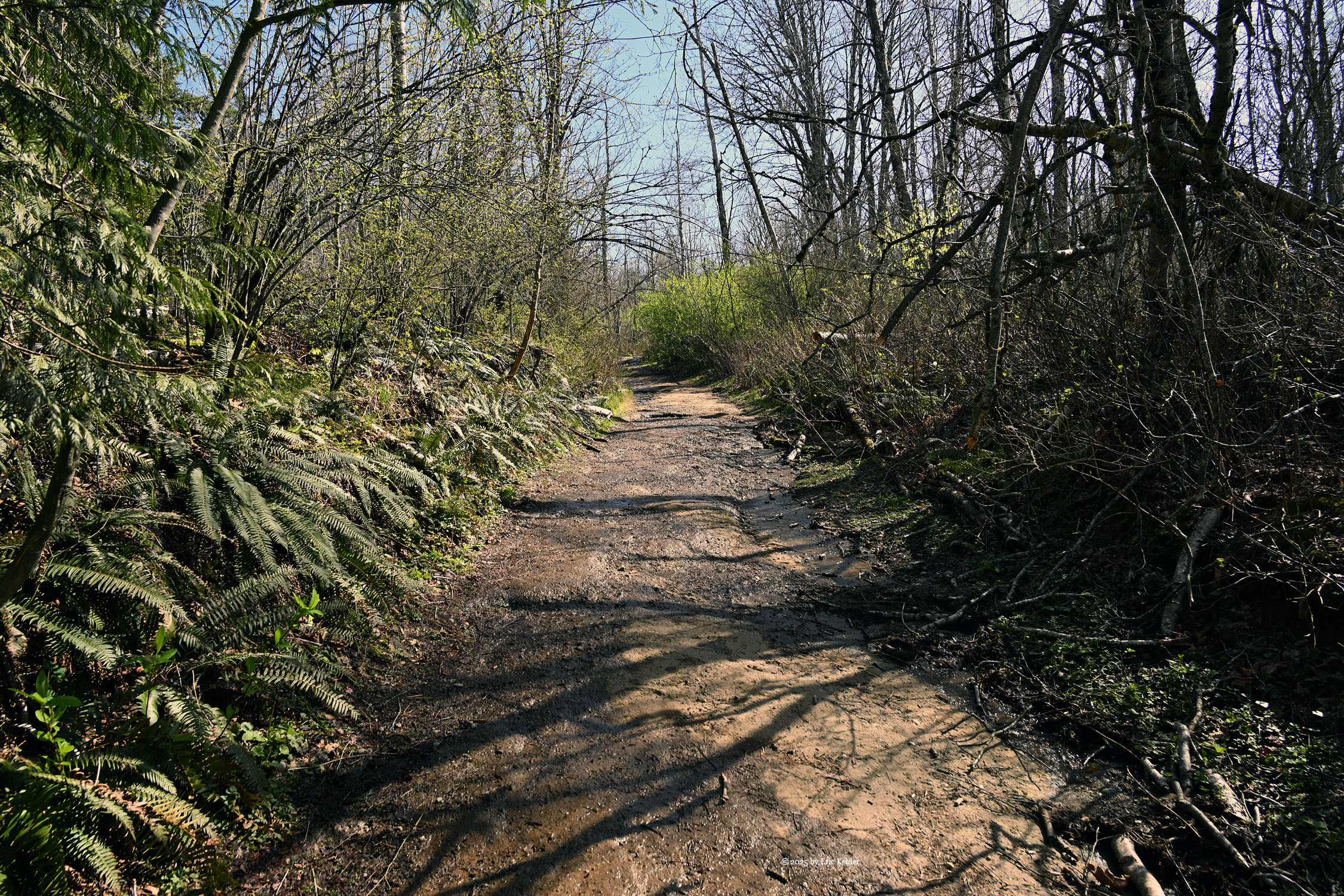
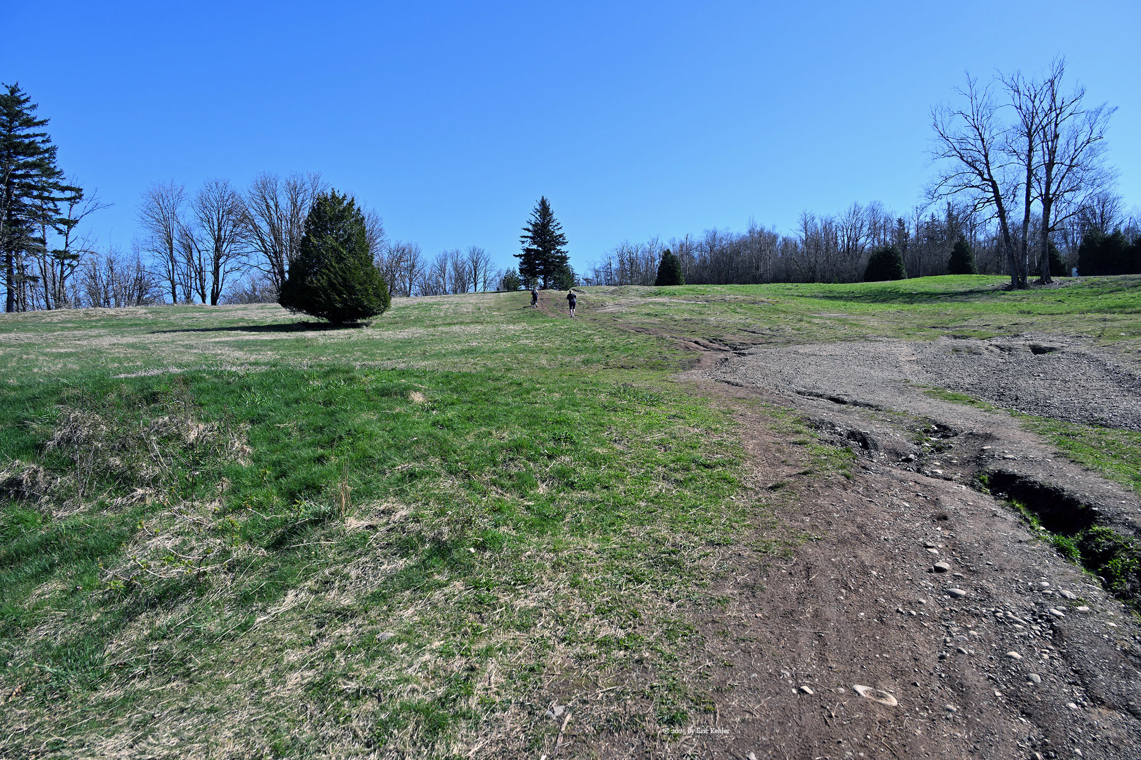
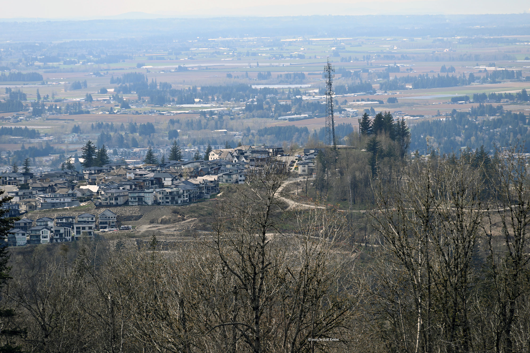
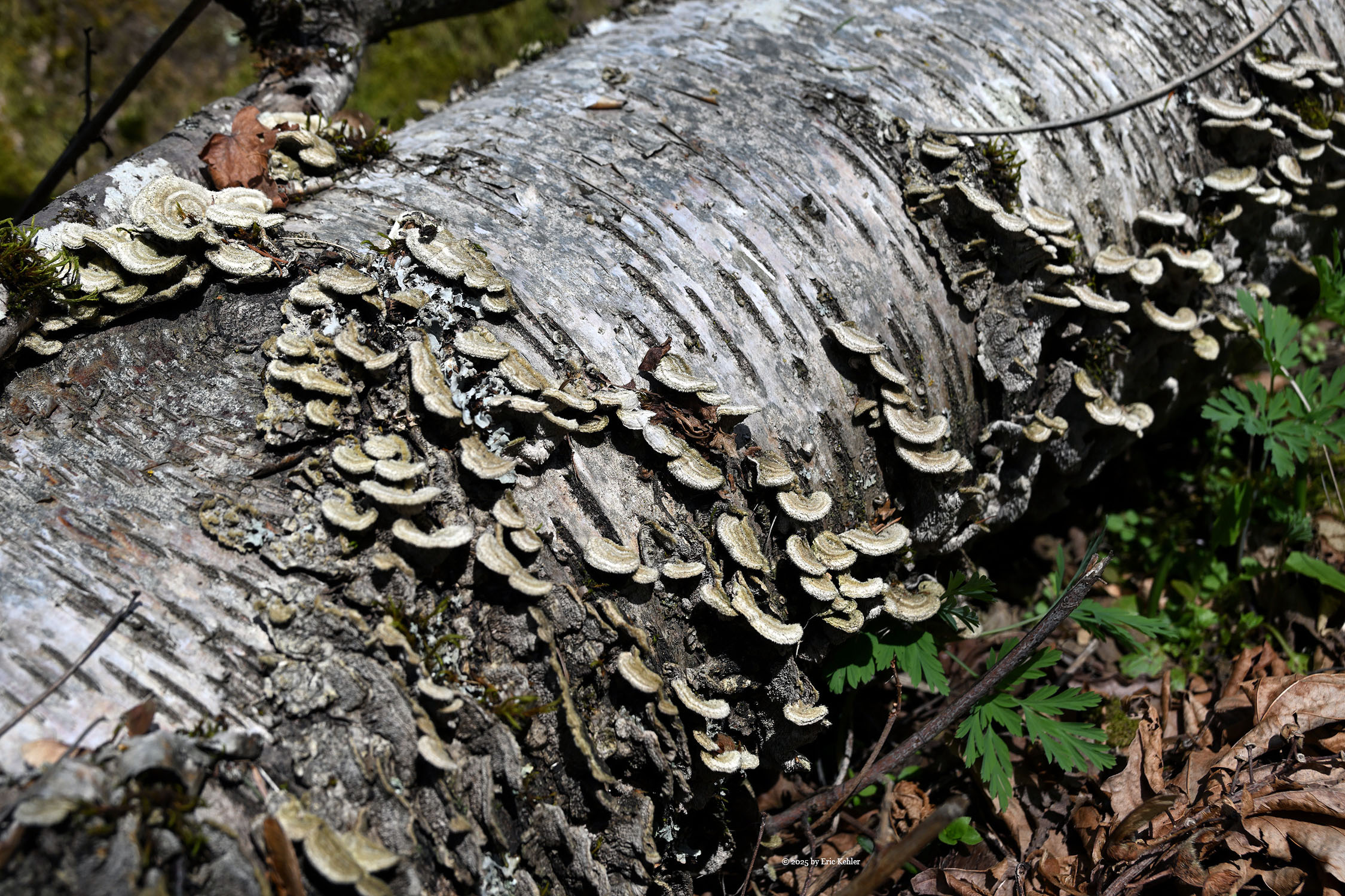
We continued along the route having to avoid one pair of bikes coming down. We came upon a small clump of trillium flowers in bloom right next to the path. I pointed it out to Elijah commenting on the tri-petal aspect of the flower. We soon reached the old road which we would follow to the summit. The road was wet in places but generally it was a pleasant walk along the route. Several groups were also making their way along it. We were making excellent time, it was cool enough that I wasn’t requiring many rest breaks, a few stops for photos were all I needed today. Soon we had reached the bottom edge of the open field near the summit. This field is the only place where there are some views of the valley.
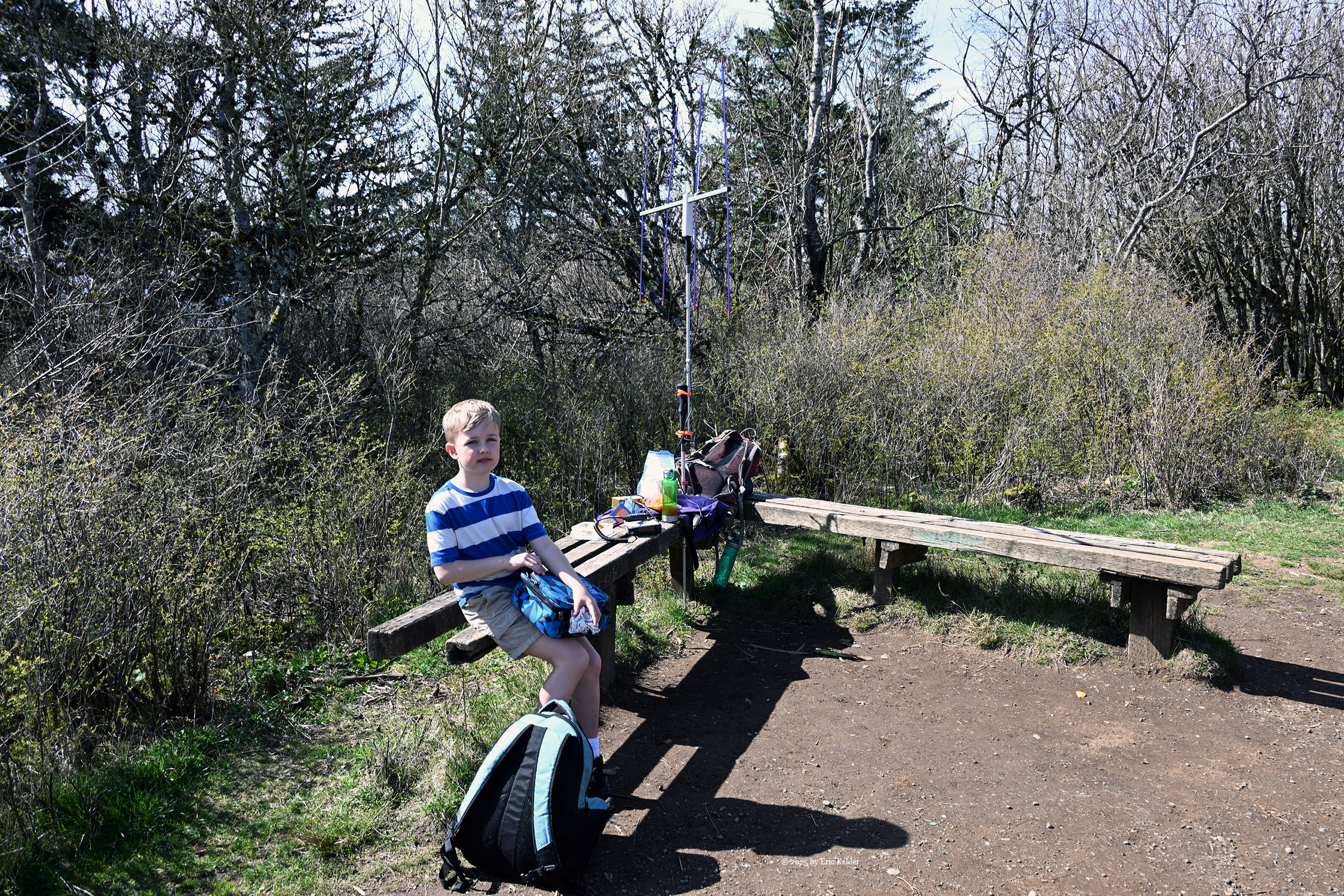
Once we had reached the upper end of the field we stopped to enjoy the view, I asked Elijah which way he thought would be the direction of his home after scanning the view he pointed at his home, quite impressive, he actually did better than me. We continued to the summit and the bench. Upon Arrival we saw that the bench was being used by a pair of guys with 4 young kids. We learned that one of them shared the name Elijah and that seemed interesting to the family. They asked if my Elijah goes by Eli like his son, Elijah said no looking bewildered that a parent would not use their kid’s proper name. We then stopped to eat our lunch. The family soon moved on and we had the full bench to ourselves and so I started to set up my 2m yagi.
As I set up the radio, I explained the various parts to Elijah and then started calling. After 15 minutes I hadn’t a single contact. That seemed very strange to me. I would normally have had many contacts from here by that time. I felt that something was wrong, and I tried swapping out pieces of the equipment. I eventually took out my back-up hand-held radio and started calling with it. I soon had a response. I contacted Caorlyn to have her call me which worked. Something was wrong with the yagi as using it with the hand-held also failed; I had to use the hand-held whip antenna. Fortunately, I was able to salvage the trip and got six contacts, two more than the minimum. Not sure what could be wrong with the main radio, but I guess I will need to check it out back at home. With enough contacts in hand, I packed up the gear and Elijah and I started back down.
We took time to enjoy the views from the grass field as we made our way down to the road section. Once on the road I asked Elijah if he could get back to the car, he felt confident and so I told him to lead the way. He made all the right turns and choices and even when I challenged him at one point he didn’t falter. I was quite impressed with his spatial awareness and memory. We encountered only one bike on our descent though lots of wild dogs not on leases were all over the place. Soon we were within sight of the car, as soon as Elijah sighted it, he exclaimed that there’s the car! He had navigated to it successfully.
Once at the car we dumped our packs into the trunk and I replaced my boots with runners and then we were off asking the navcom for the nearest Starbucks, I knew where it was, but I was showing Elijah the route. It was only a few kilometres down the route we came up. We started down and then pulled into the parking lot near the store. After perusing the choices Elijah selected a cold chocolate frappuccino, I the vanilla bean. Then we waited and waited for the drinks. It seemed like an overly long delay but once in hand we enjoyed the flavours and coolness for a few minutes before heading back to the car.
The route home was predicted by the navcom to take 48 minutes. Arriving home at 2:23. We made good time along the returned route which reversed the one we took heading out. Traffic was light and we avoided the wait at several traffic lights. In the end we pulled into the driveway at – you guessed it 2:23! Sometimes that route estimating is quite amazing. We both felt like it had been a good hike and time in the fresh air. Elijah was interested in another hike perhaps a tougher one. He may be more up to it than I!