Capturing the Art of Nature
Click on image to view gallery
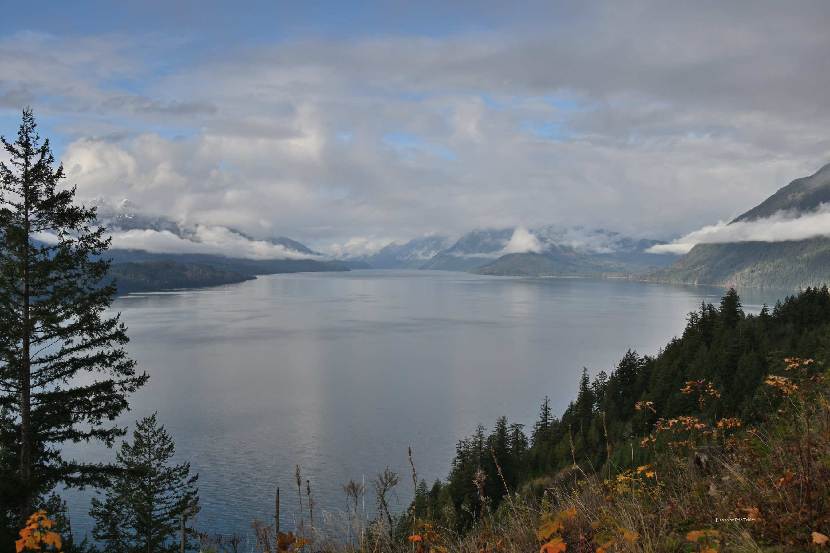
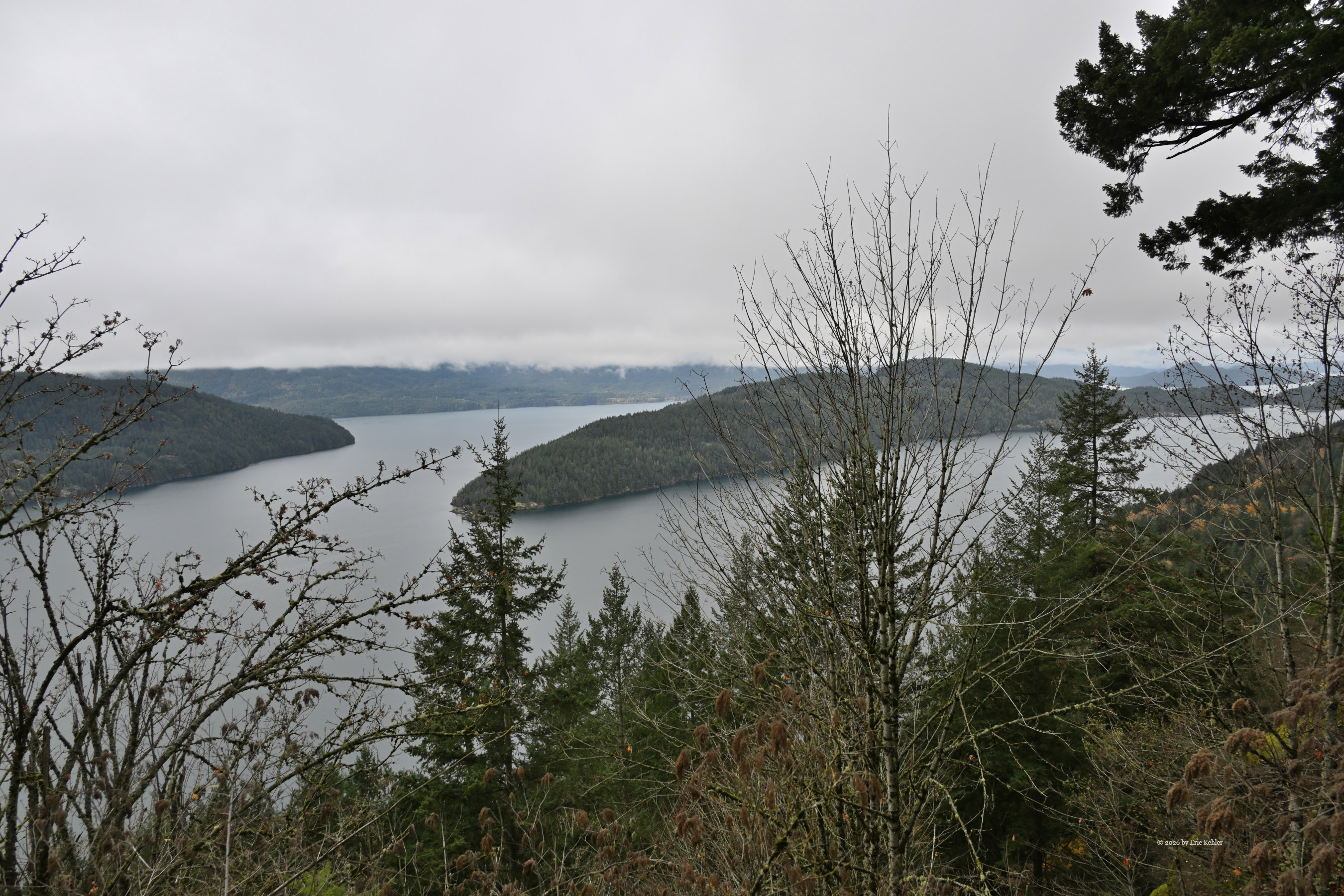
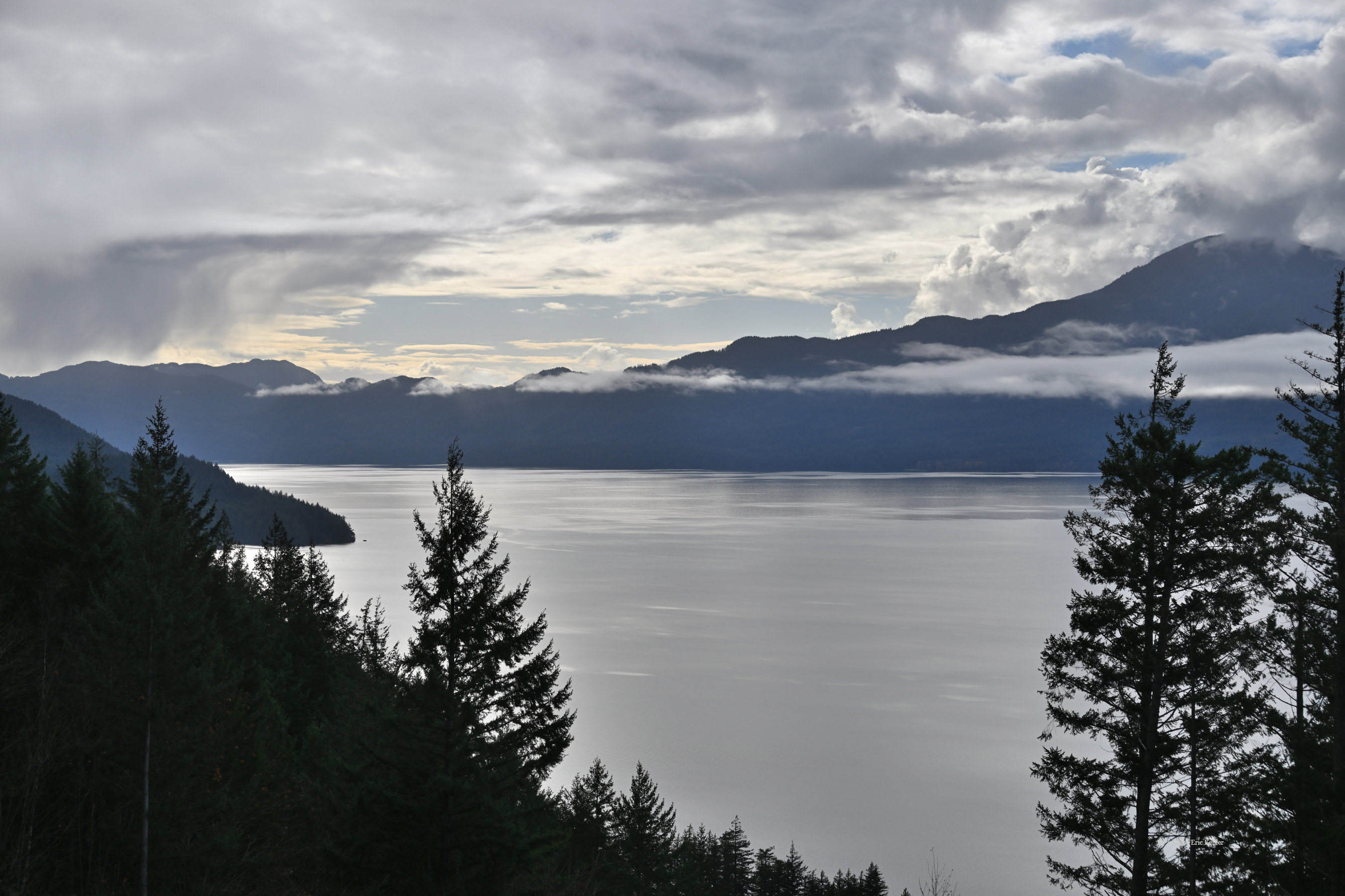
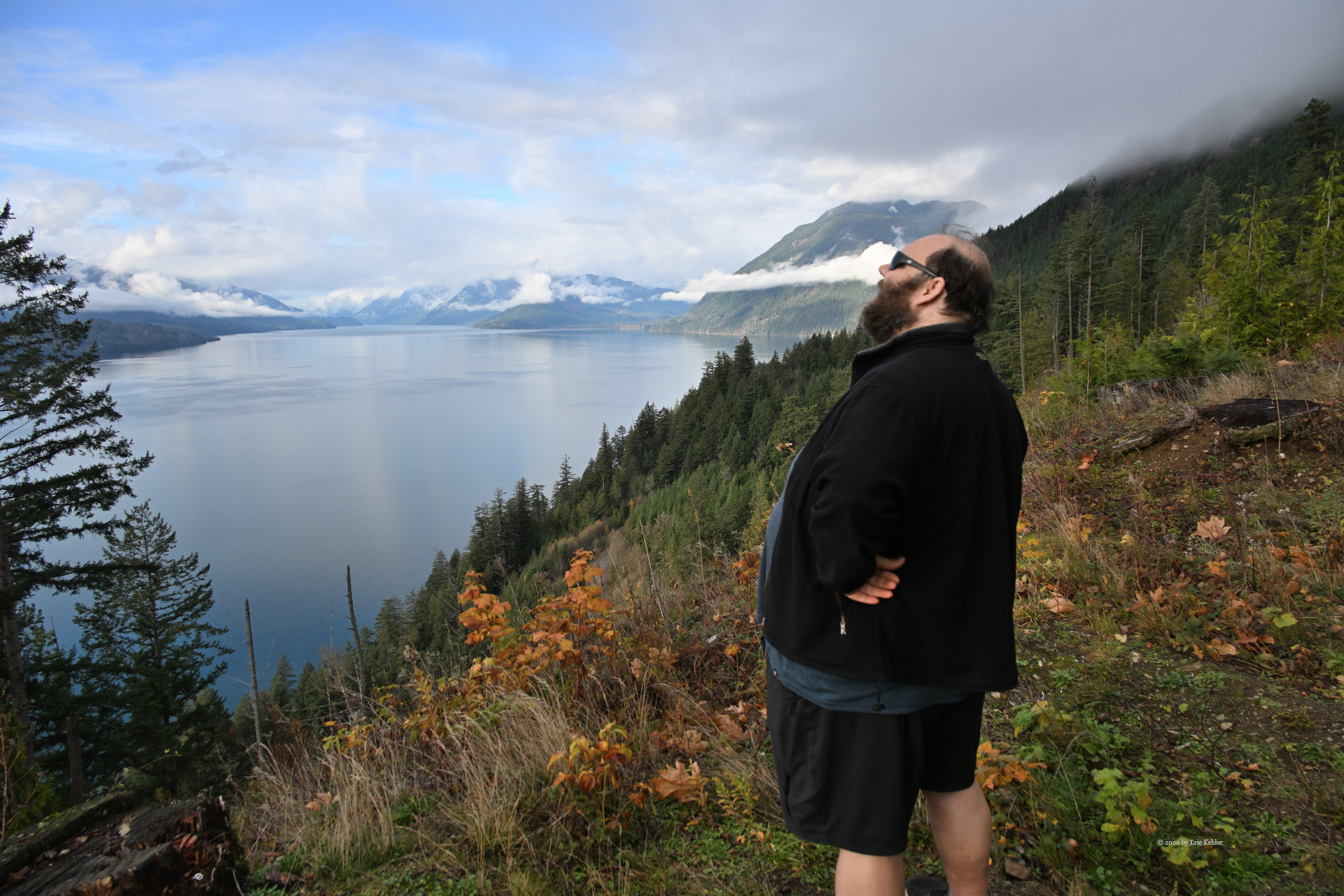
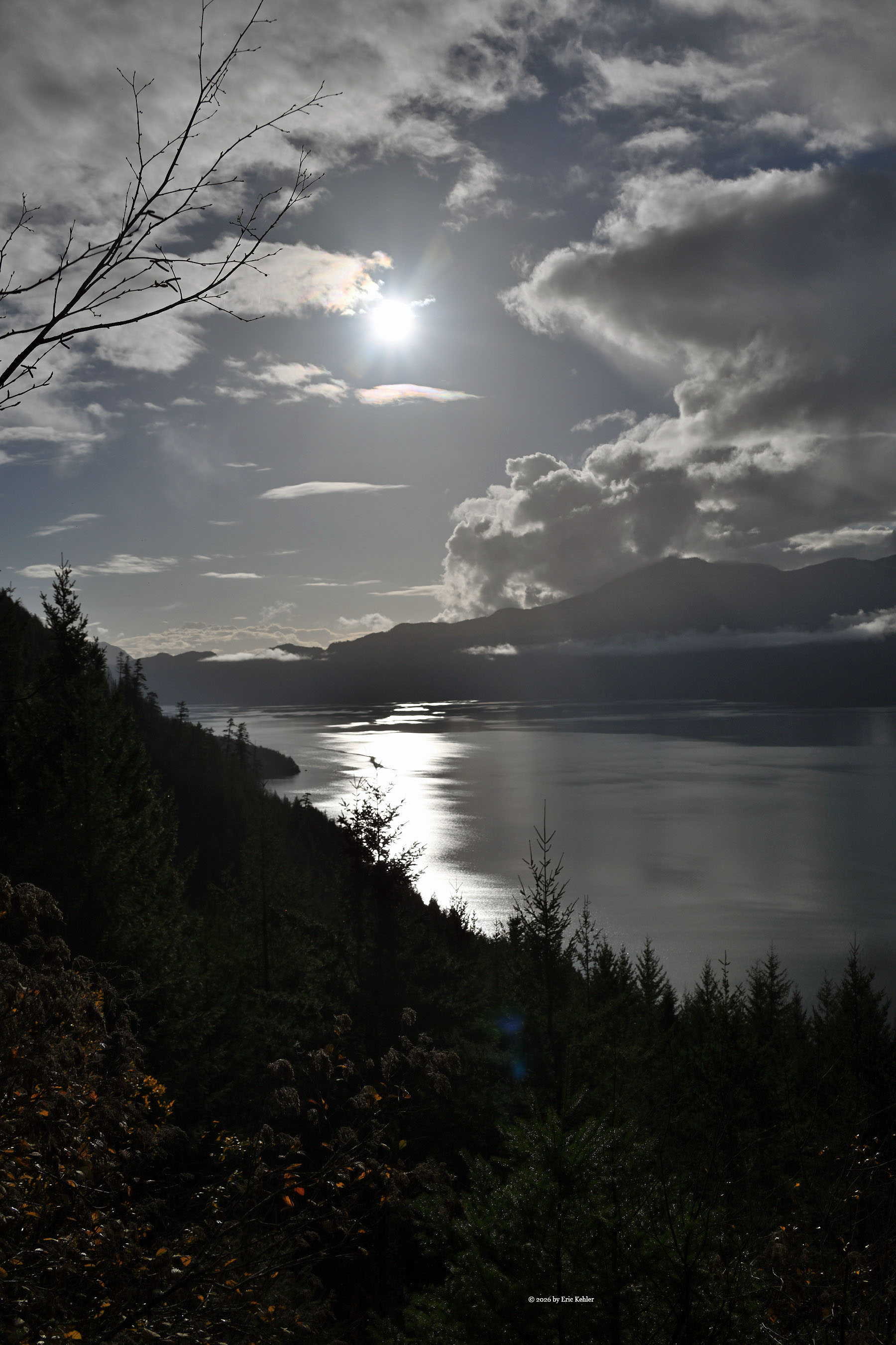
T he East Harrison area is a sprawling region to explore, dotted with plenty of spots to take in Harrison Lake and slip down to its beaches. Long side roads wind deep into the mountains flanking the water, offering enough terrain to keep an adventurer busy for days without running out of new ground to cover. Returning after years away felt good.
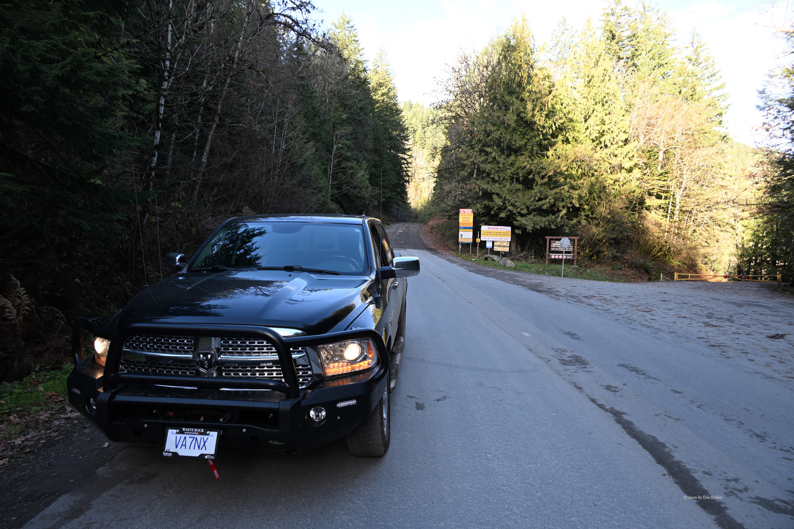
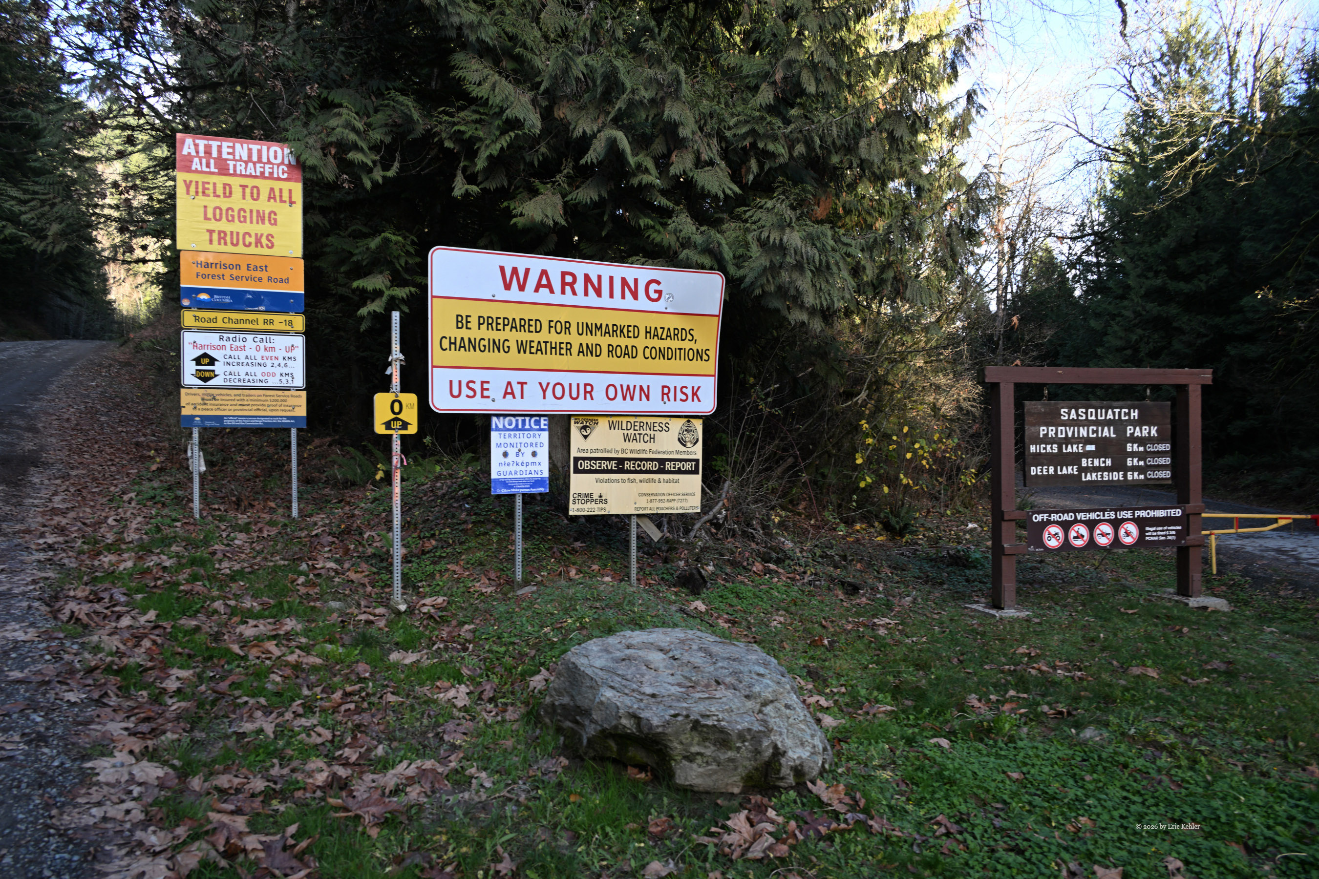
Our trip started the familiar way—grabbing sandwiches, coffee, and fuel. Gas in Abbotsford was way down, though diesel stayed stubbornly high, keeping overall trip costs elevated. From there, the drive along the highway and connecting side roads to the resource road passed quickly, bringing us face-to-face with signs warning of active logging and posting the required road frequency. I dialed in the radio and called out our entry onto the road. Voices from users around the 30 km mark came through—proof that others were out there, even if traffic itself was light.
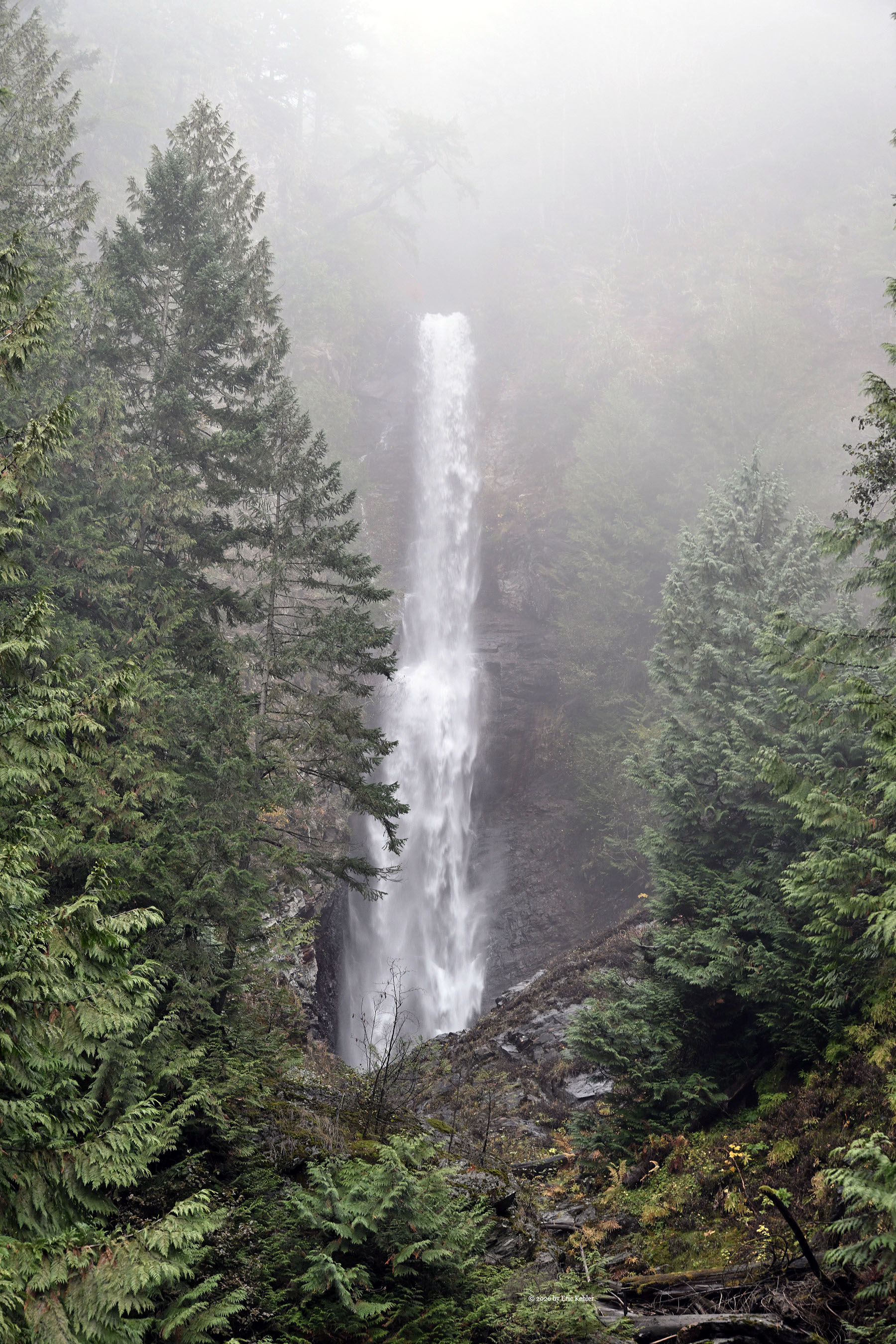
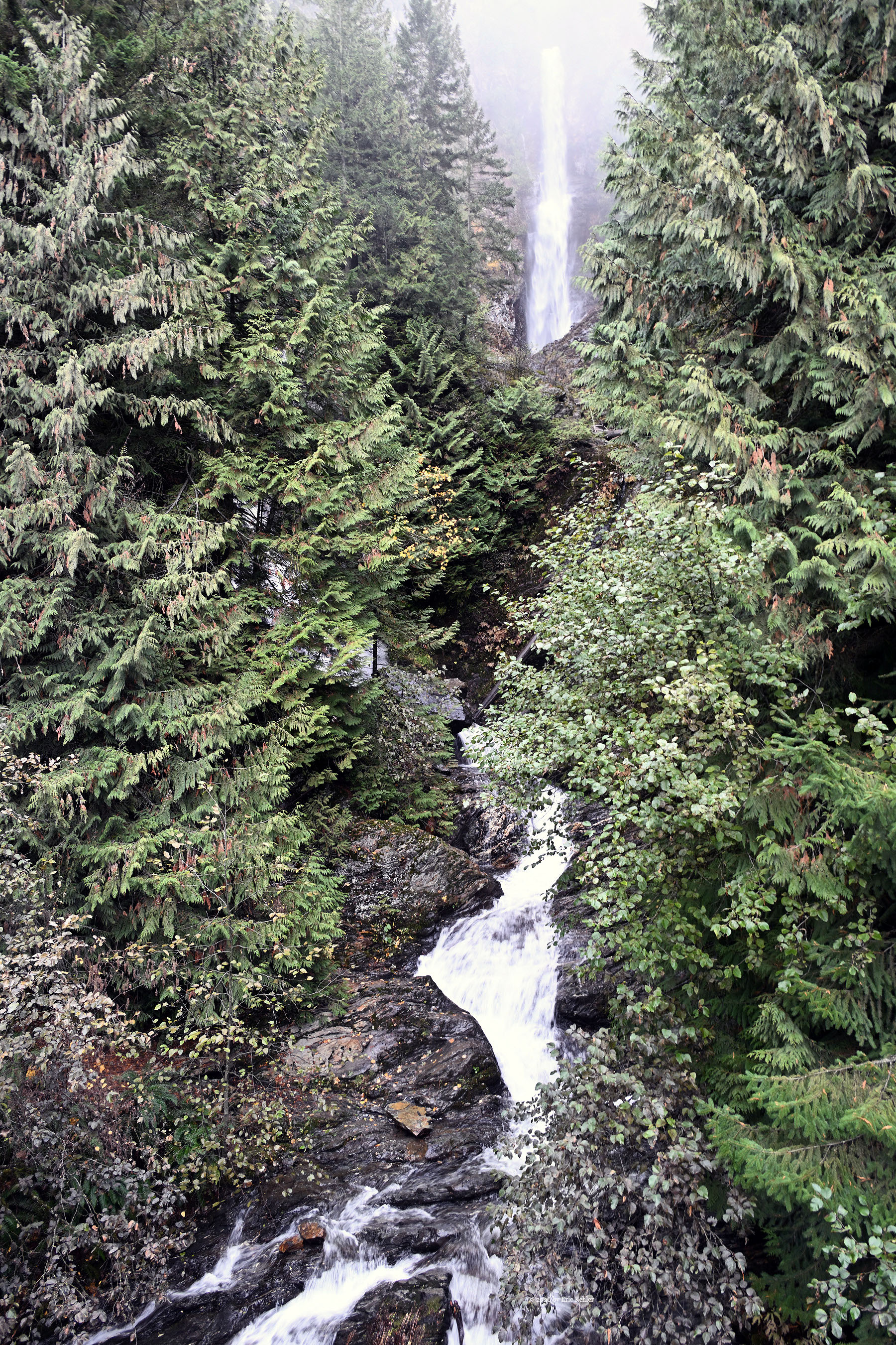
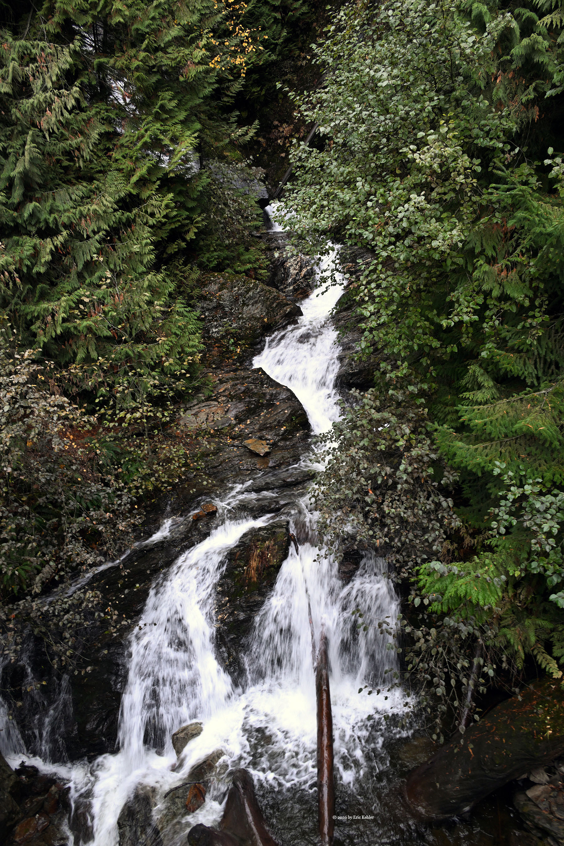
We pushed along, calling out our position every 2 km as required. I got Nick to pull over at the first lake viewpoint; brush was creeping in, though with the leaves down the view still held up well enough. Next came Slollicum Falls. Its lower tier is known as Rainbow Falls, a name many people mistakenly pin on the upper falls instead. After crossing the muddy bridge over the creek, I hopped out to grab a few photos. Tree growth partially hid the lower section, while the main falls ran full and lively with water. From there, we continued on to Bear Creek Campsite. As I expected, the gate was closed, keeping us out of the main camping area.
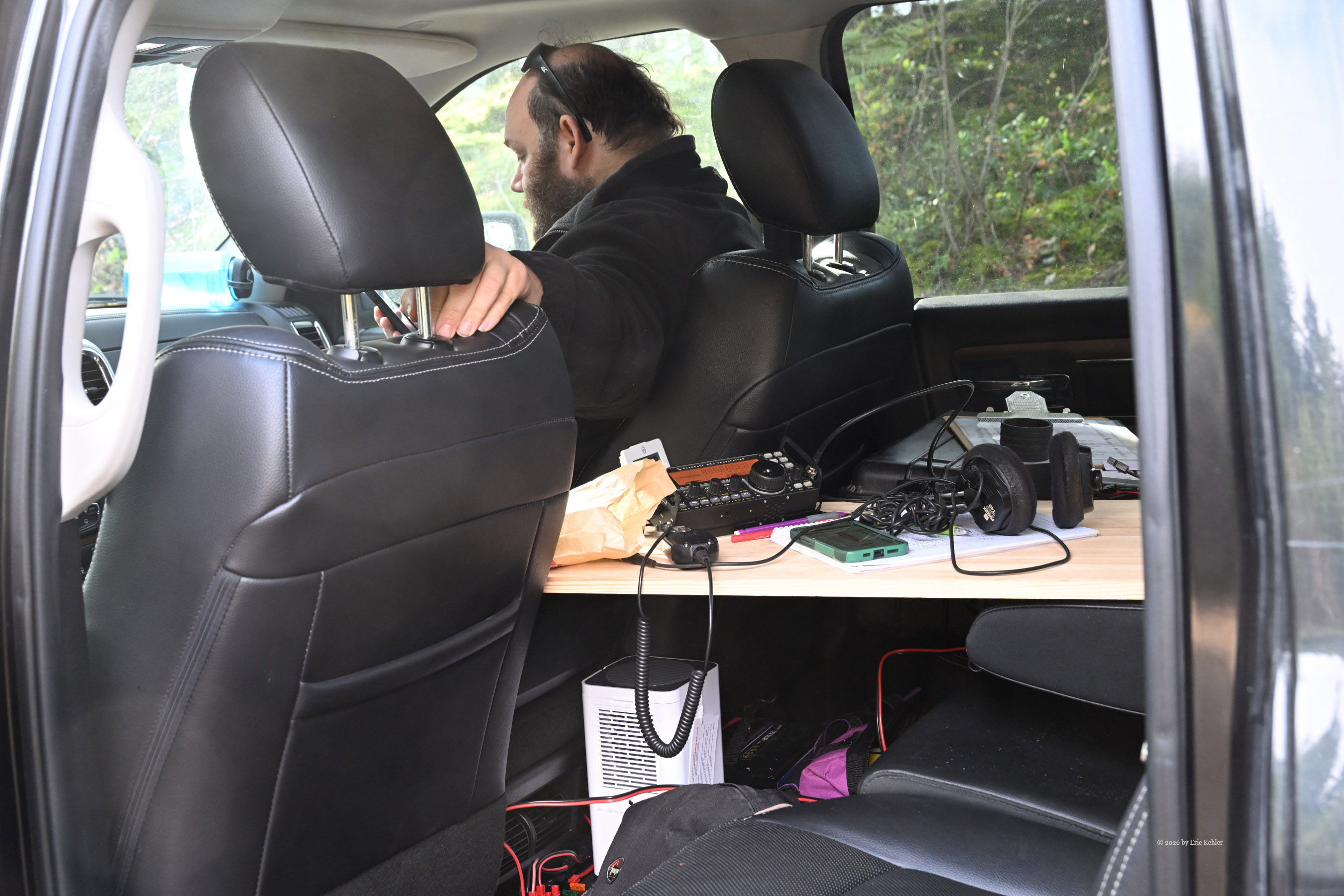
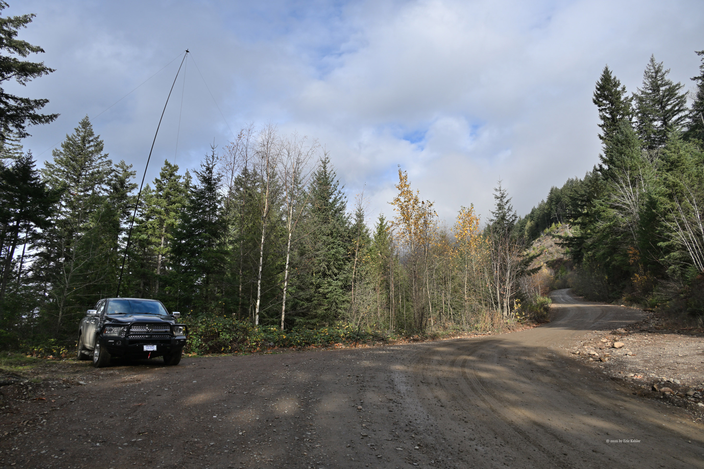
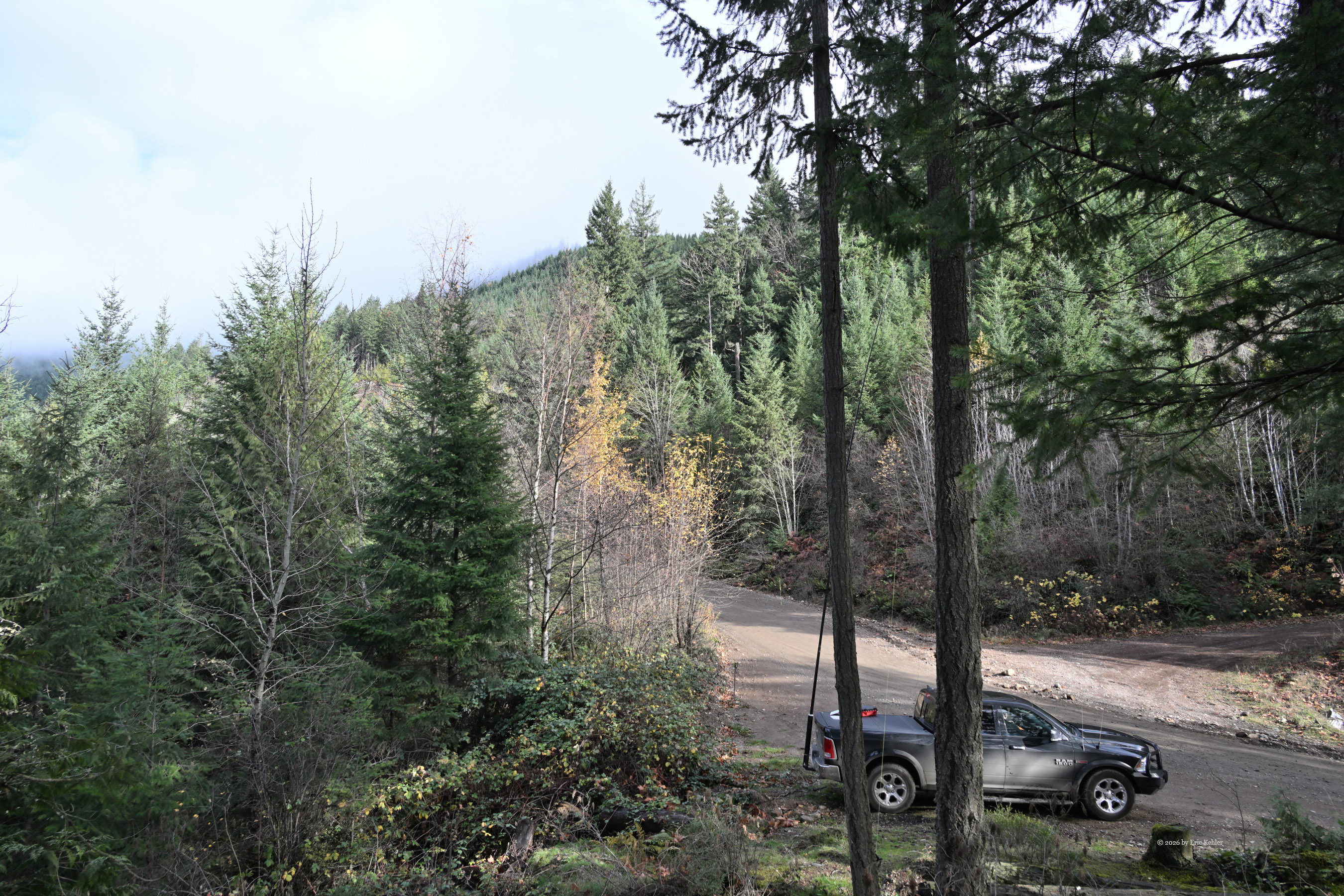
For my POTA operating, though, being inside the campsite itself isn't necessary—the surrounding area is still part of the park. We eased a little past the gate to a wide, high spot where we could park safely clear of traffic. Steep trails drop from here toward the lake, though damp moss made them slick and a poor choice for hiking steep slopes that day. With the truck settled, I got to work aligning the Starlink unit. It went smoothly, giving us full connection to the outside world. Nick and I put up the mast and had the radio live before long. After texting my buddies back home, I jumped into a chat with Bob on 40m, followed by contacts in North Carolina, Colorado, and California on 15m. Next came a conversation with Carolyn at home on 40m. Over the next half hour, I worked 20 contacts—mostly on 20m—in a strong session where the peaks rising to my east caused very little trouble.
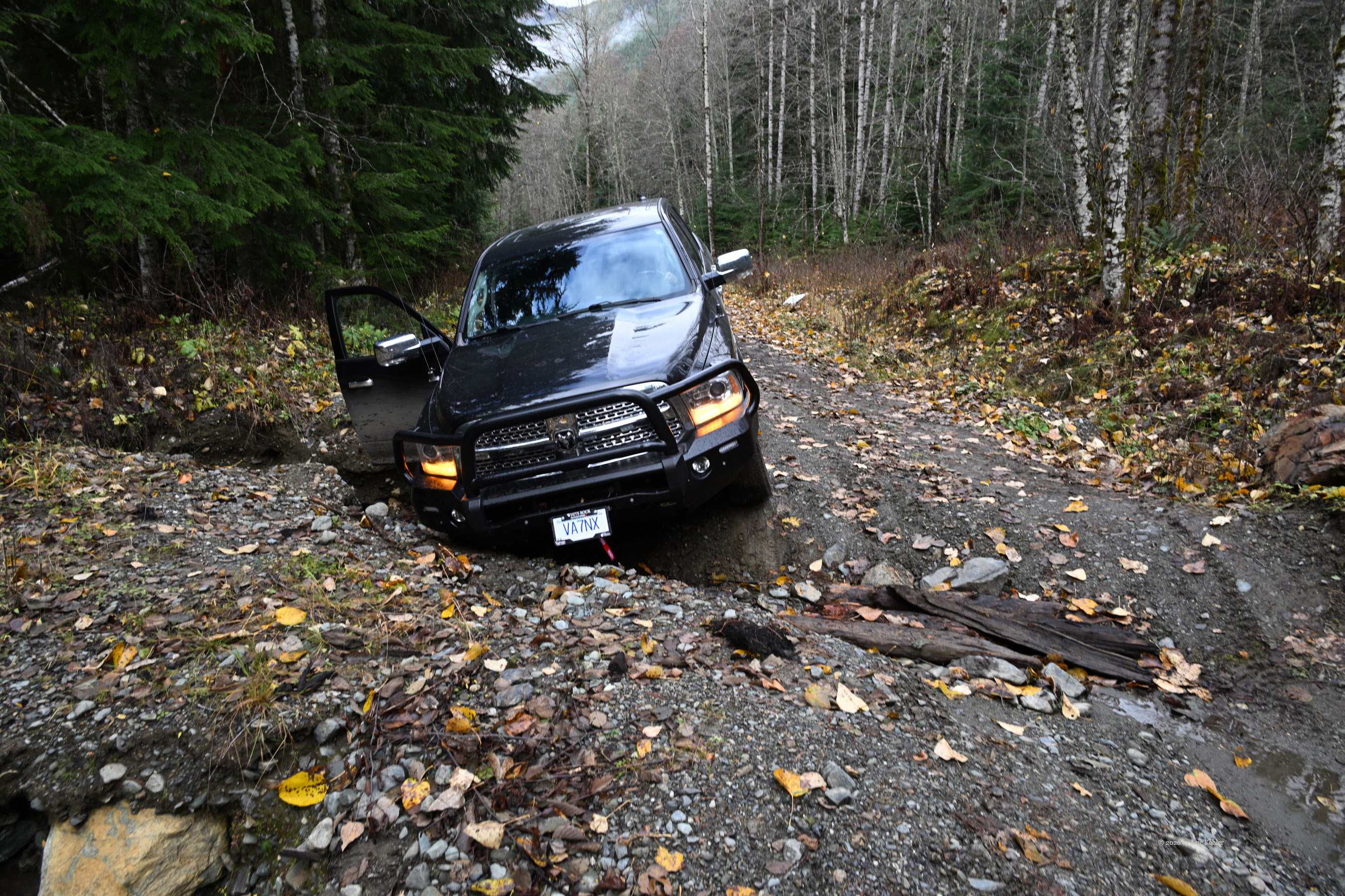
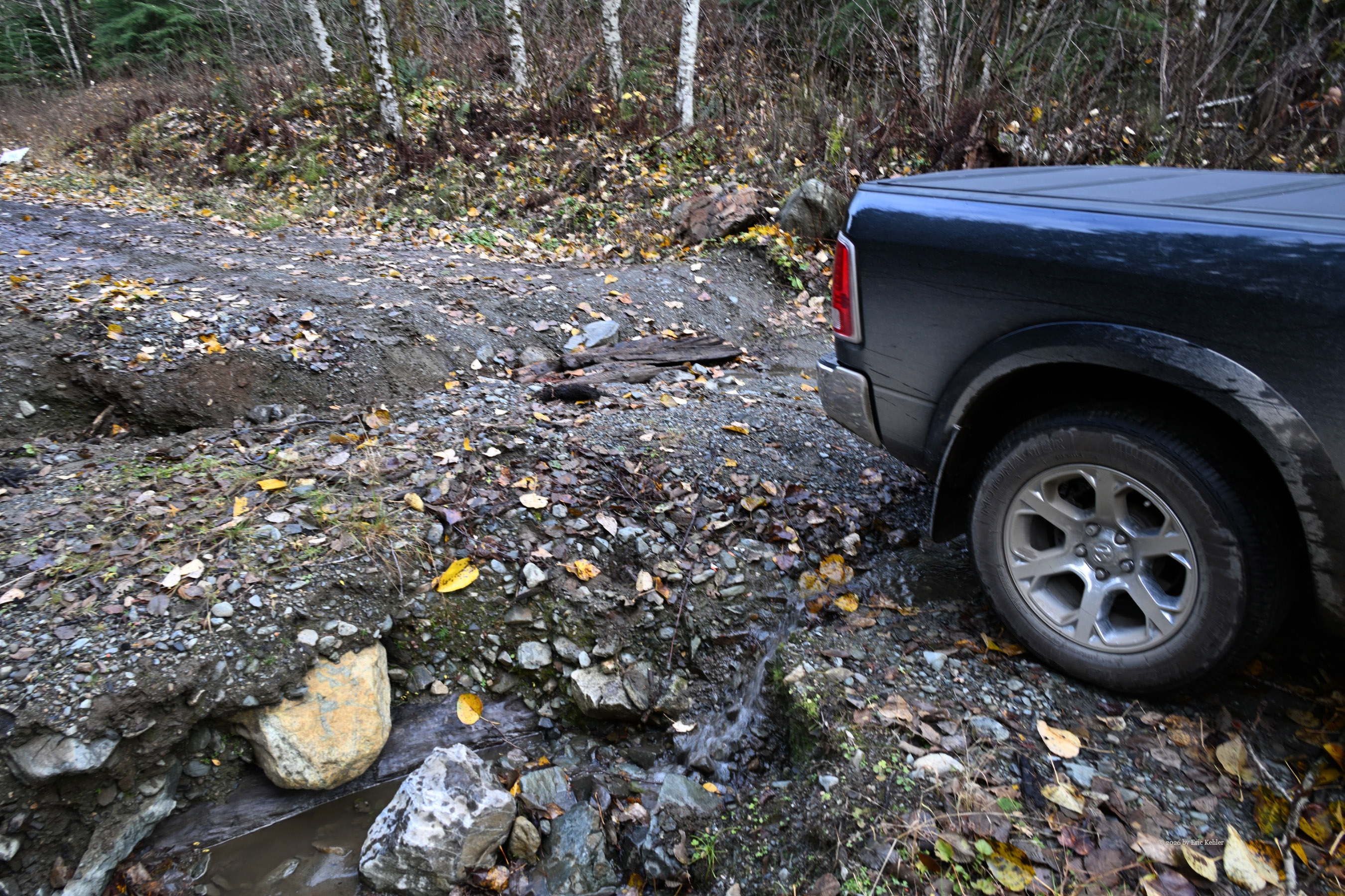
Once the log had enough entries for the activation, I shut down the station and we tucked into our sandwiches. Next on the list was Bear Creek Road. Normally gated just a short way in, today the gate stood open—so in we went to explore territory I hadn't seen before. Our detour didn't stay smooth for long: Nick dropped a front tire into a washout. The steep sides of the rut ruled out backing out. We tossed in some rocks, Nick shifted a large rock into the gap, and with careful planning we pulled forward, getting the rear wheels across without much trouble. The return trip looked easier thanks to a shallower line beside where Nick had tracked.
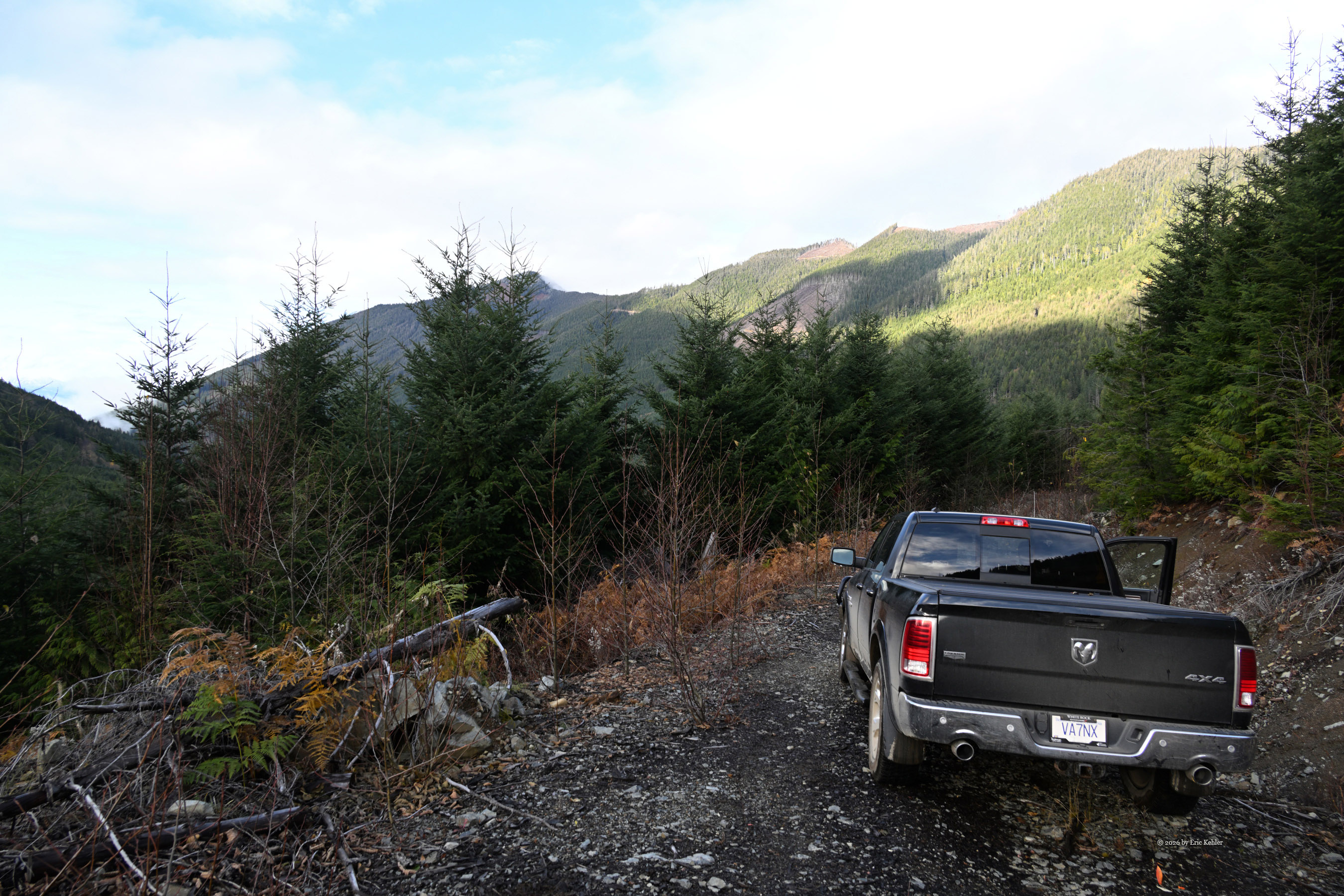
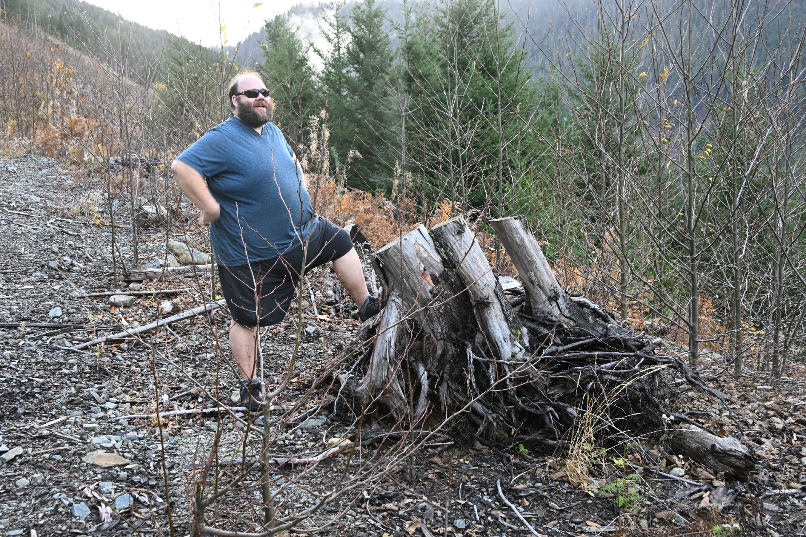
We kept climbing the increasingly overgrown road until we reached a wider stretch looking back down the valley we'd traveled. Harrison Lake was out of sight by then, replaced by the eastern slope of Lookout Peak looming ahead. Even though we only checked out a single side road off the main Bear Creek Road, Nick decided it was time to head back. He was enjoying the outing, yet didn't like the idea of staying out there after dark. Not wanting to put a damper on his growing fondness for the hills, I agreed, and we began working our way back down, carefully picking our line past the rut that had caught us on the climb. Soon we were back on the main line and calling out our progress. Along the way we passed a few pickups and during the entire day we saw only two loaded logging trucks—light enough to keep things relaxed. Once we hit pavement again, Nick asked if I'd take the wheel.
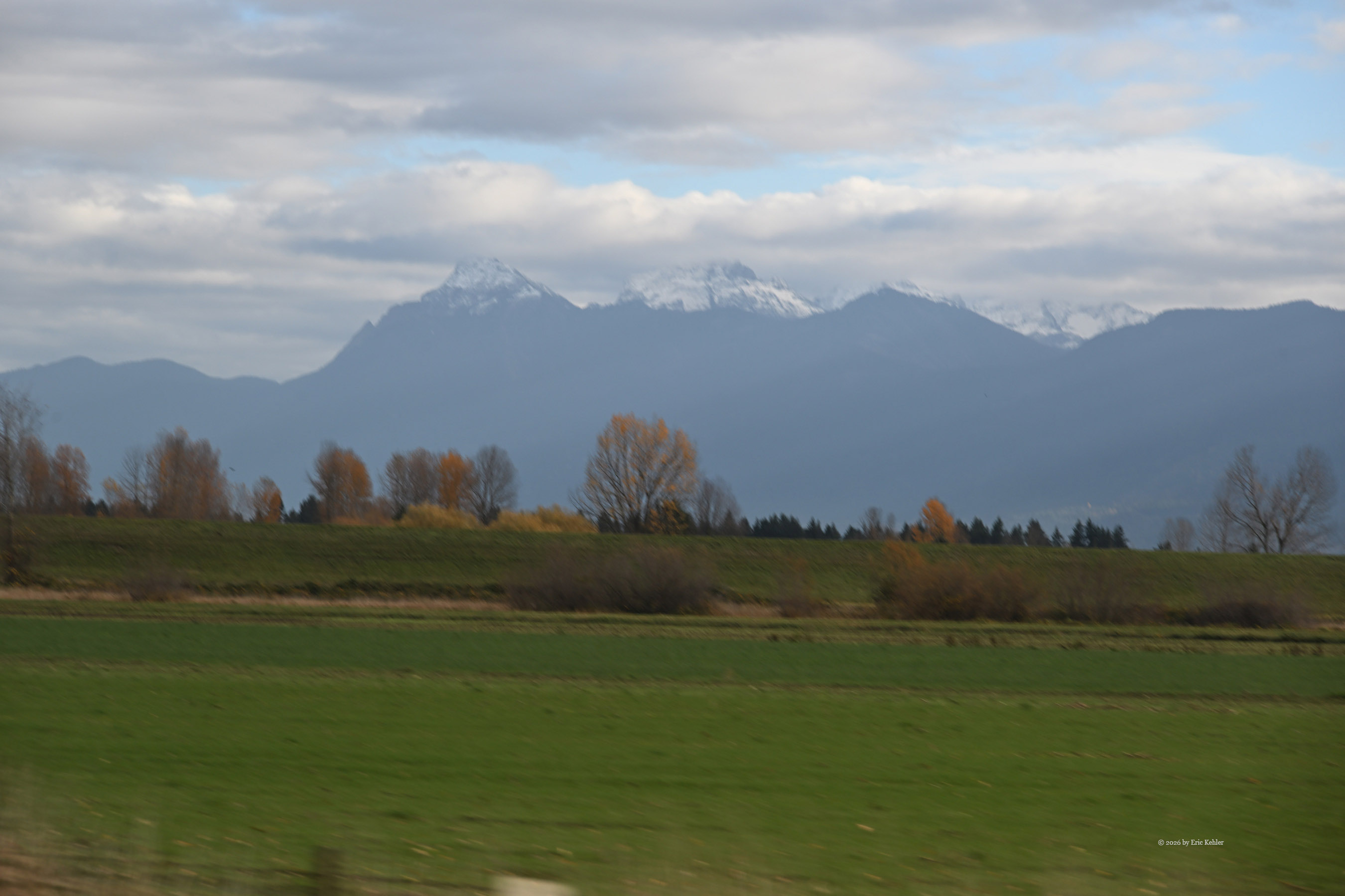
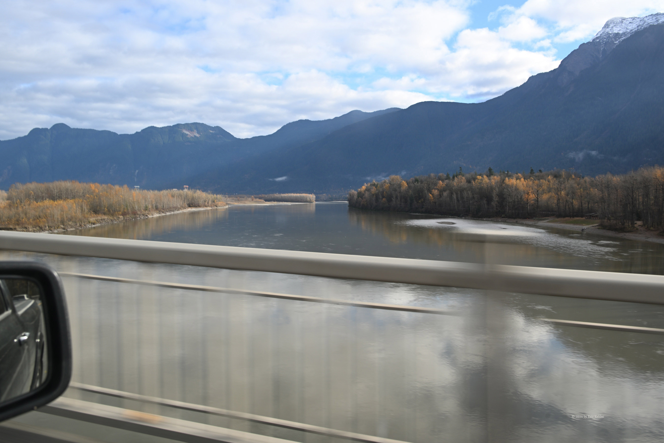
I entered home into the navcom, which routed us back along the highway we'd taken in, exiting one road earlier and projecting a 4:36 arrival. I made good time toward the highway and soon picked up trucker chatter about a three-car crash westbound that had traffic backed up for miles. As we approached the bottleneck, a second accident happened closer to us along the route, someone likely rammed a stopped car. Right then, the navcom suggested a detour around the congestion. I took it, sending us winding through farmland toward Vye Road and then Huntington. A few extra cars merged onto the detour as we headed west past other highway exits, though traffic stayed fairly light. The final stretch along 16th Ave felt routine, and we pulled in at 4:33—impressive how accurately the system can estimate arrival times even with wrecks slowing things down.