Mount Finlayson
A small summit but a very steep trail
Category
Serendipitous Discoveries
Summits on the Air
2019
Click on image to view gallery
Finlayson may be less then 500m in stature but the trail starts from around 50 and climbs to the top in 2km. So the route is short and steep. I made good time along the roads to reach the start of the trail but found the parking area almost completely filled with cars. I managed to pull into an overflow spot along the side of the road and then started getting my gear on for the hike. I was soon starting along the road looking for the actual trailhead.
Once I found the start of the trail and made my way in a short way I came by a fork, the left trail was broad and led through mud as it made its was upward. The right fork started up a huge wall of stairs. A chap was coming down the stairs and as he got close I asked which way lead to the summit. He said they both did but that the left hand trail was the better one. So left I went and worked through the mud patch and up the trail that was slowly getting steeper.
I eventually came by the fork where the two routes merged and there I took a short rest as the next section was quite steep. Rested, I continued up the trail, it eventually reached a crest and dropped down to a small creek where there was a bridge allowing one to cross. Next came a mass of roots which required one to carefully place ones feet. It fortunately wasn’t a long section but still it took its toll. The trail continued upward at a decent rate until it finally came by a far steeper section. Here the ground was loose rock interspersed with larger rocks and even some smoother dirt sections. But the trail had gotten markedly steeper now and I was moving much slower.
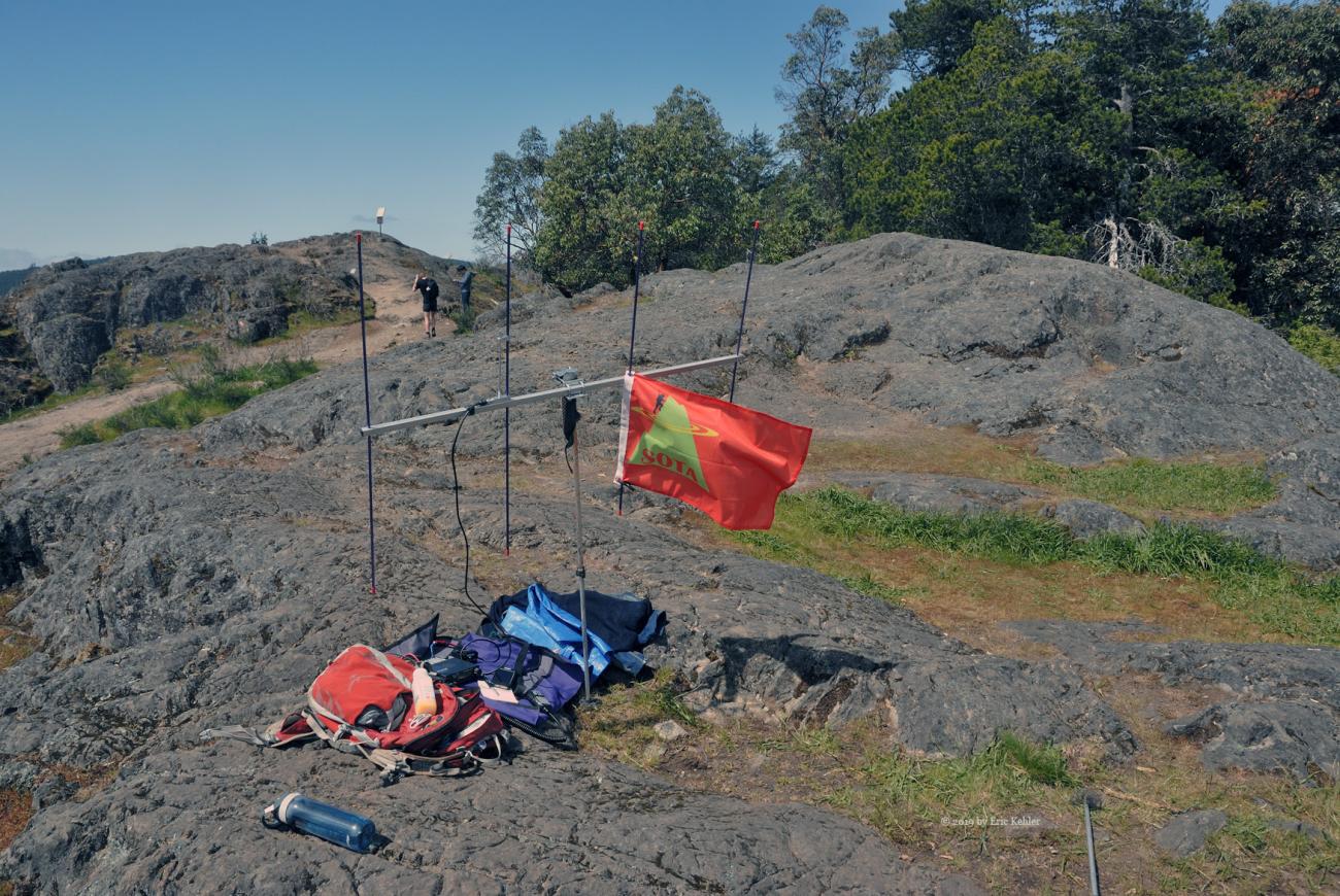
The trail continued upward through trees but as it made its way higher, views started appearing and the path now required scrambling up large rocks and narrow ruts. It was getting a bit more challenging and one had to be careful as a slip could send one sliding for a few 10’s of meters. After numerous starts and stops I finally reached the top ridge line where the rate of climb slowed and one could actually enjoy the trail a bit. I finally reached the summit and started looking for a spot to set up. Since I wanted north and east directions I found a spot to the east of the summit where there was a good opening to the Vancouver region.
Once the location was chosen I got my radio and antenna set up and made some calls, fairly soon I had a number recorded in my log. Ralph from home could hear me but I wasn’t able to hear him. He tried a number of attempts but all failed. I just couldn’t hear him. Once I had a reasonable number of logged entries I stopped to eat a bit and take a few photos. The views are quite nice from here and generally they are worth the effort to come and enjoy them. After eating I tried for a few more contacts and then packed up the radio and contemplated the return path.
The decent was as expected easier than the way up but the steep scrambling made for a slow descent as I carefully picked my footing for each step. By the time I had gotten back to the car I was actually quite exhausted. Longer hikes have been far less tiring. But I was back in the car, the activation a success and now I could drive home, feeling I had achieved my first summit for this trip to Victoria.
Story Lines
Recent Posts
- Serendipitous Discoveries, Parks on the Air / Jan 19, 26 /
- Parks on the Air / Jan 17, 26 /
- Serendipitous Discoveries / Oct 30, 25 /
- Serendipitous Discoveries / Oct 21, 25 /
- Serendipitous Discoveries, Parks on the Air, Coastal Views / Oct 20, 25 /
- Parks on the Air / Oct 07, 25 /
- Parks on the Air / Oct 03, 25 /
- General Collections / Sep 22, 25 /
- Parks on the Air / Sep 18, 25 /

