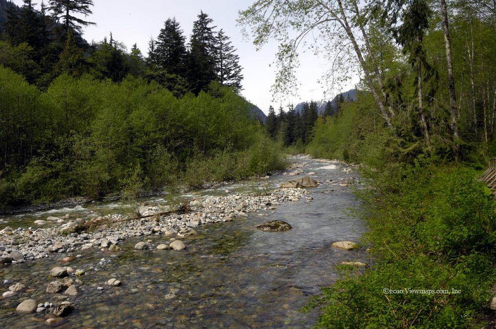
Norvan Falls
A long but easy hike to a spectacular waterfall. It is definitely worth the effort
Category
Serendipitous Discoveries
2010
Click on image to view gallery
I’ve had this hike on my to do list for quite some time. It could be done year-round but the warmer drier season definitely makes it more comfortable. This hike is in the Lynn Headwaters Regional Park which is a very popular location for all sorts of visitors. The place was packed and on our departure people were close to fighting over parking spots! The hike is just over 7km each way, though quite long it is very level making an easier hike than many I have attempted.
Ethan and I arrived just before the main crowds and were able to get a parking spot in the first lot – grabbing a spot as it was vacated by a departing visitor. We set up the truck’s cross-band repeater and linked it to the White Rock repeater. It worked quite well for the entire hike and provided good coverage even at the Falls – our furthest point.
On the way out we chose an alternate route which had a bit more of a climb to navigate at the start. Then it slowly made its way back down to the main trail. During this segment my tripod separated and we were unable to reattach the head to the tripod proper. I was counting on having it for some slow shutter shots of the water fall and now we have the burden of packing it but without the use of it. That was the most frustrating part of the hike. Back at home later it took only a few minutes to adjust it back into proper position!
The water fall its self was a very pleasant view – the spray from it was quite cooling in the heat and actually made it a bit too cool at times. There were quite a few groups that were enjoying the location when we arrived and the stream of new-comers was continuous. A few hundred meters below the falls is a suspension bridge crossing the creek. It was really quite a well-built bridge for the area. But then the whole trail was built up with many dozens of small wooden bridges over every soft spot along the way. You could almost call this hike – the trail of a 1000 bridges! There sure must be a lot of funding available up here to build that many bridges. It is almost a shame as other parks seem to have insufficient funding.
Our return trip took us closer to Lynn River than the out-going segment. This segment was flatter but it was still 7km long and I was extremely tired by the time we were finished. 14km is definitely a bit of a push for me at this point. Hopefully one day I will find it much easier, but at least I was able to get it done and not much above the average time for the hike – and that with stops to gather photos. The park provides a hiker registration system where you can sign in at the start of your hike and then hand-in a return slip upon your return. Though not every-one uses it, I think it is a great idea. Since it costs nothing, ignoring the service is just foolish.
Limping the final feet back to the truck we finally were ‘home’ and able to get a bit of rest before we had to take down the antenna and radio gear. As we packed up, a car was waiting for our spot but as we were taking a bit longer than average with all the gear another spot opened up sooner. The guy was heading for it when another driver tried to grab it. This led to some harsh words but the other patrons were on the first guy’s side and so the interloper relented – fortunately another spot opened quite soon after and all were happy. I guess I’ll have to return but with a working tripod – the falls are definitely worth taking some good photos of.
Story Lines
Recent Posts
- Serendipitous Discoveries, Parks on the Air / Jan 19, 26 /
- Parks on the Air / Jan 17, 26 /
- Serendipitous Discoveries / Oct 30, 25 /
- Serendipitous Discoveries / Oct 21, 25 /
- Serendipitous Discoveries, Parks on the Air, Coastal Views / Oct 20, 25 /
- Parks on the Air / Oct 07, 25 /
- Parks on the Air / Oct 03, 25 /
- General Collections / Sep 22, 25 /
- Parks on the Air / Sep 18, 25 /

