Capturing the Art of Nature
A Quick Trip to Florence
Such a lovely adventure for a short visit
Category
Serendipitous Discoveries
2026
Click on image to view gallery
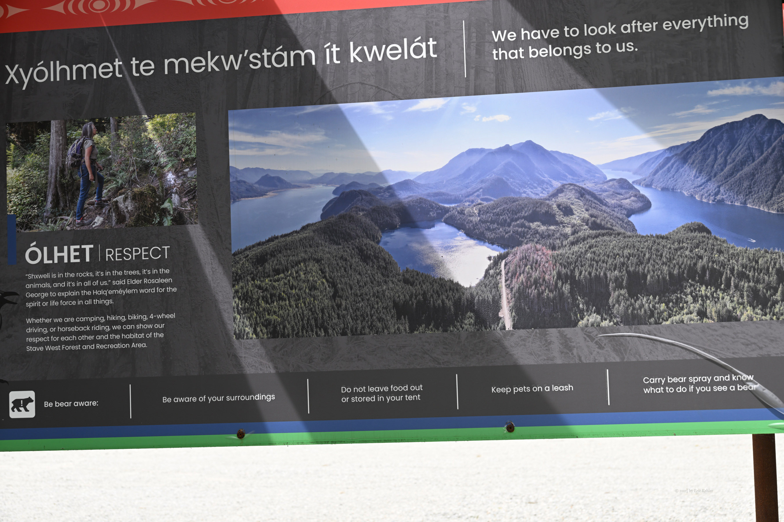
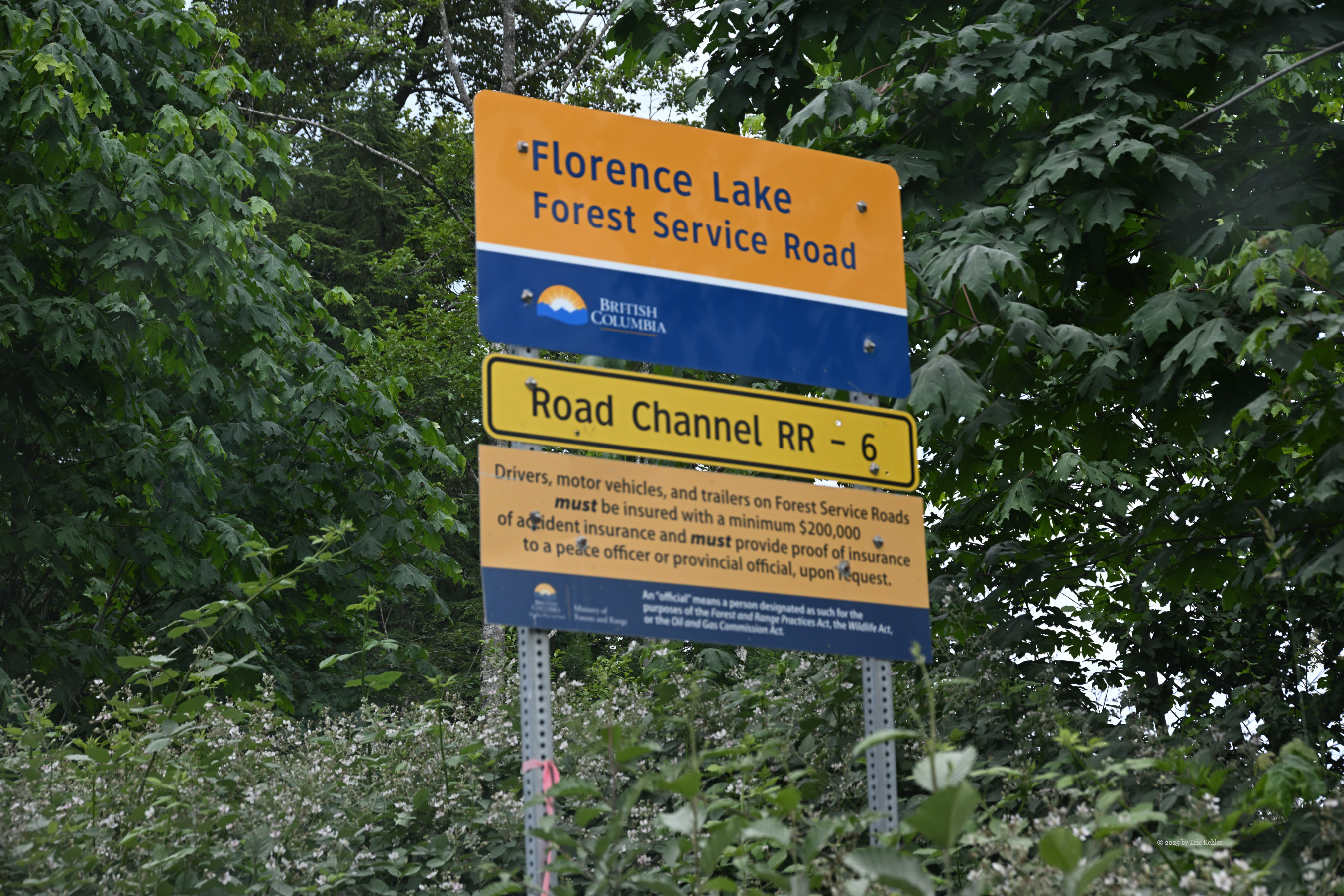
If you are expecting some great photos from Italy, I hate to disappoint you but today’s visit was on the Florence Resource Road which lies between Stave and Aloutte Lakes. My truck now has its new winch installed and operational. No longer need we be afraid of trying a few more challenging roads in the back-country. Nick is still new to such driving so we won’t be doing the tricky stuff yet, but a few more narrow routes will be good.
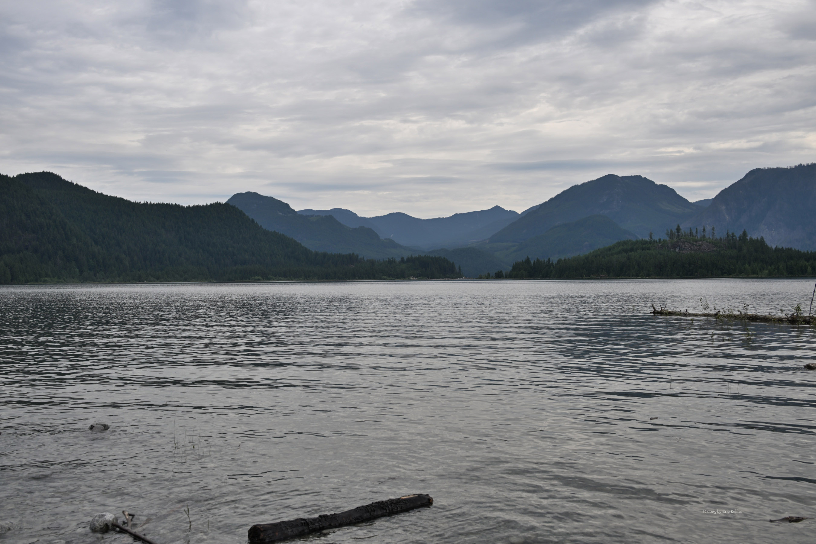
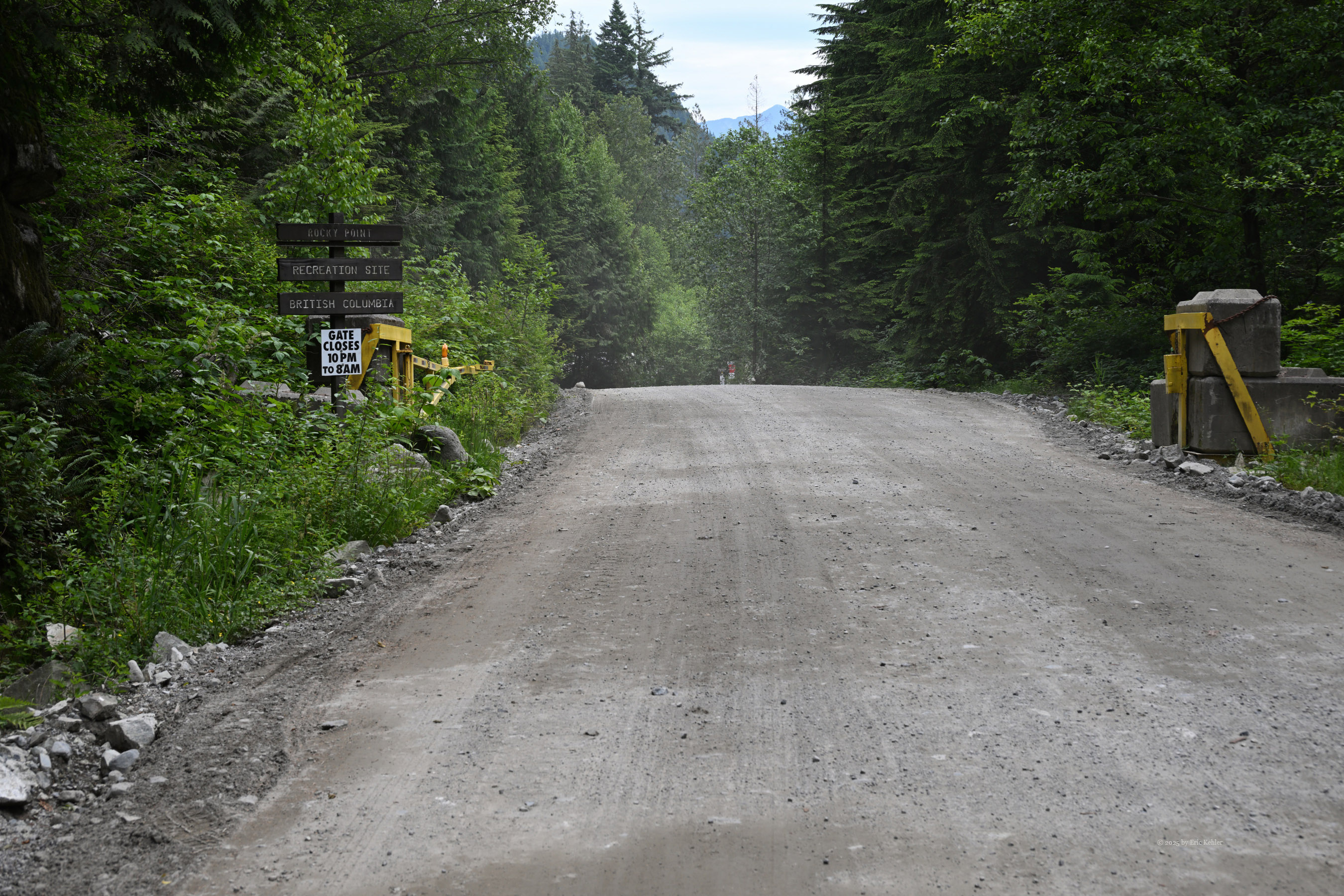
We set out from the house around 10am and made our way to Subway to pick up a sandwich for lunch and then out to Maple Ridge and the old Dewdney Trunk Road which took us to the start of the Florence Resource Road. The start is right at the Stave Lake Dam and proceeds up the western side of the lake. The road is well used and as such has been kept well maintained through to Rocky Point. There were logging trucks hauling today but we encountered only one on the road though we could hear the road traffic on the radio announcing others.
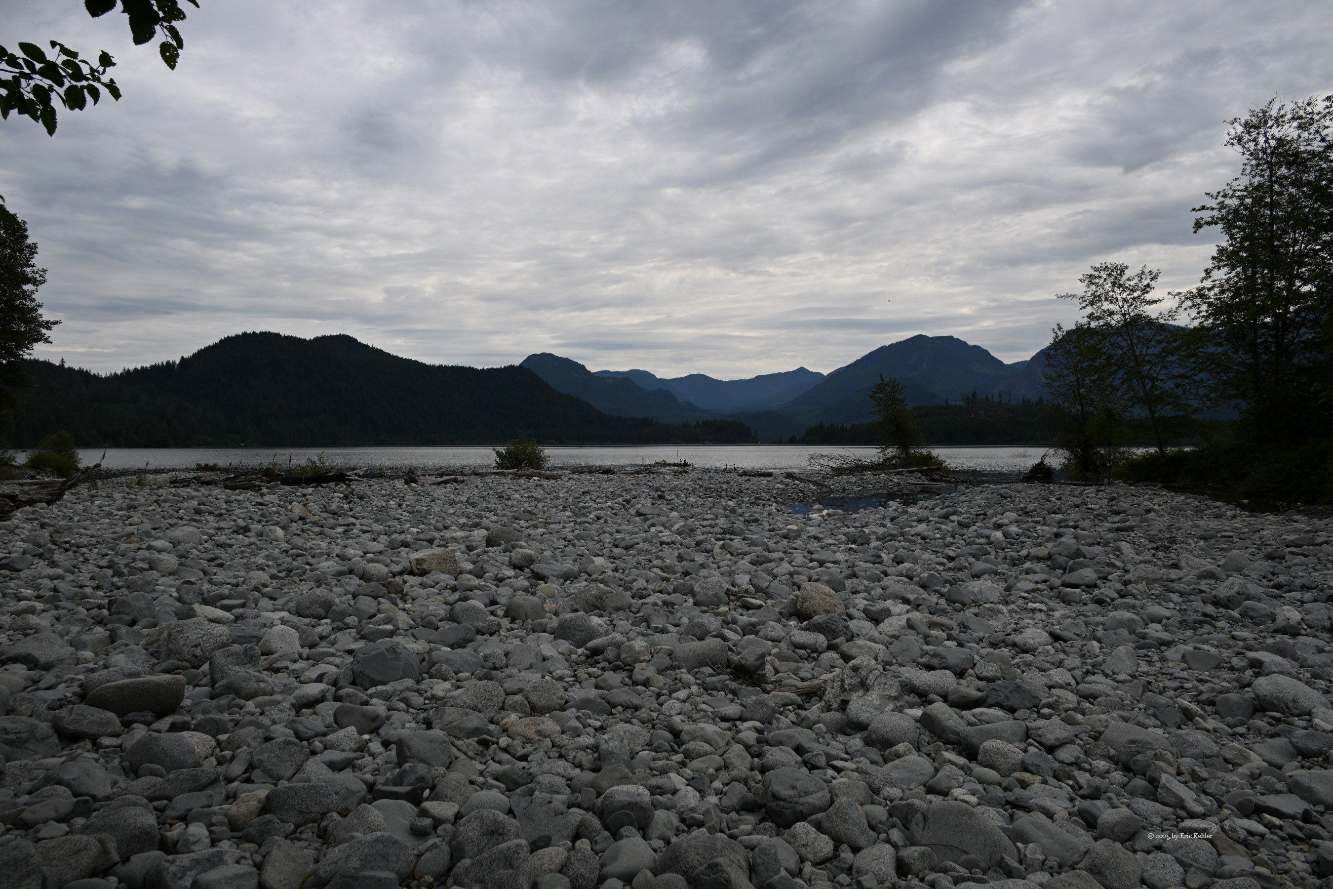
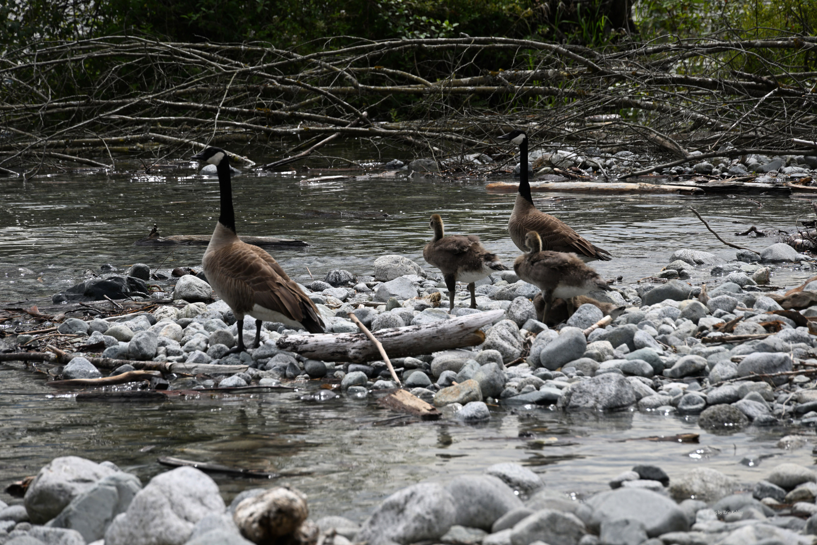
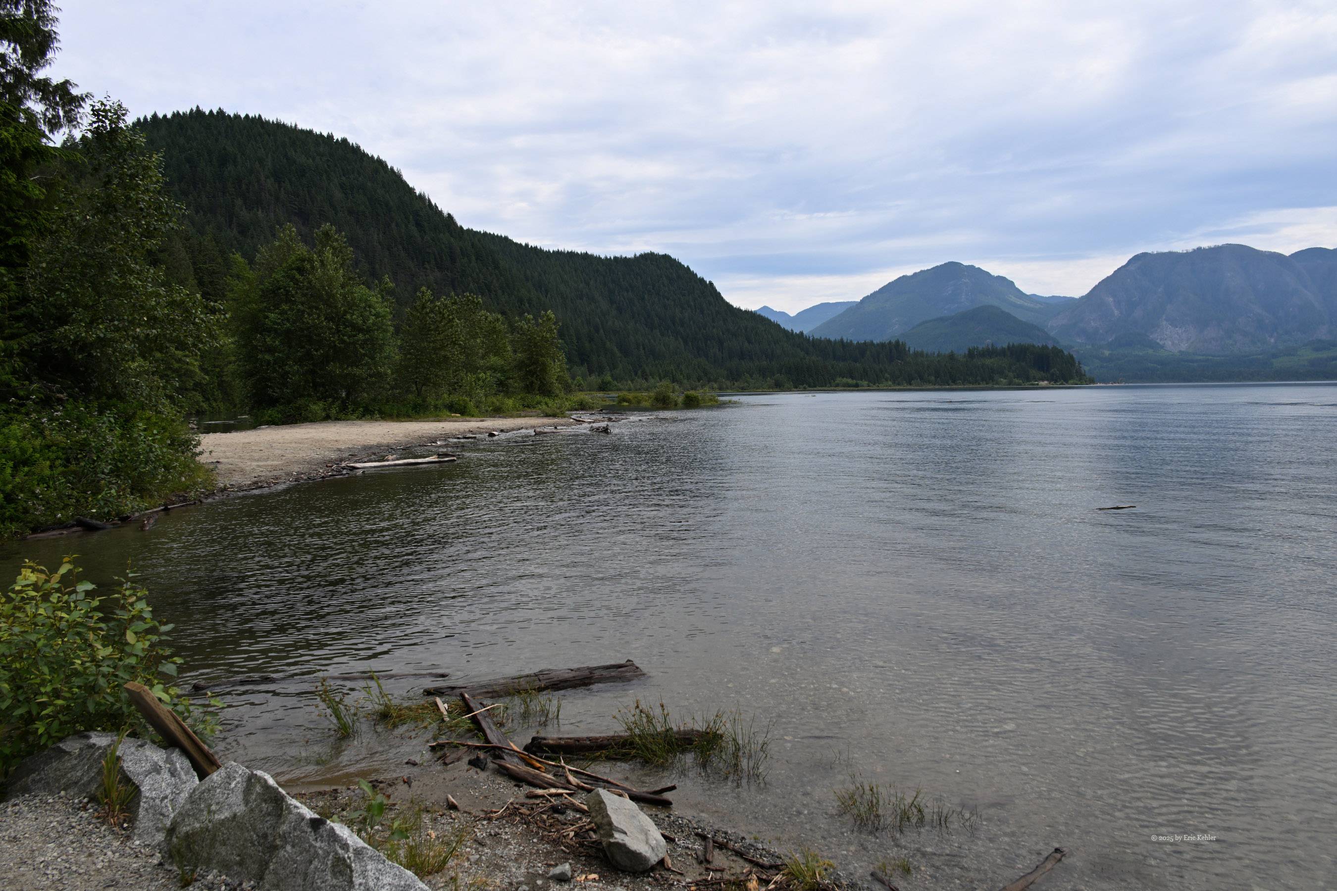
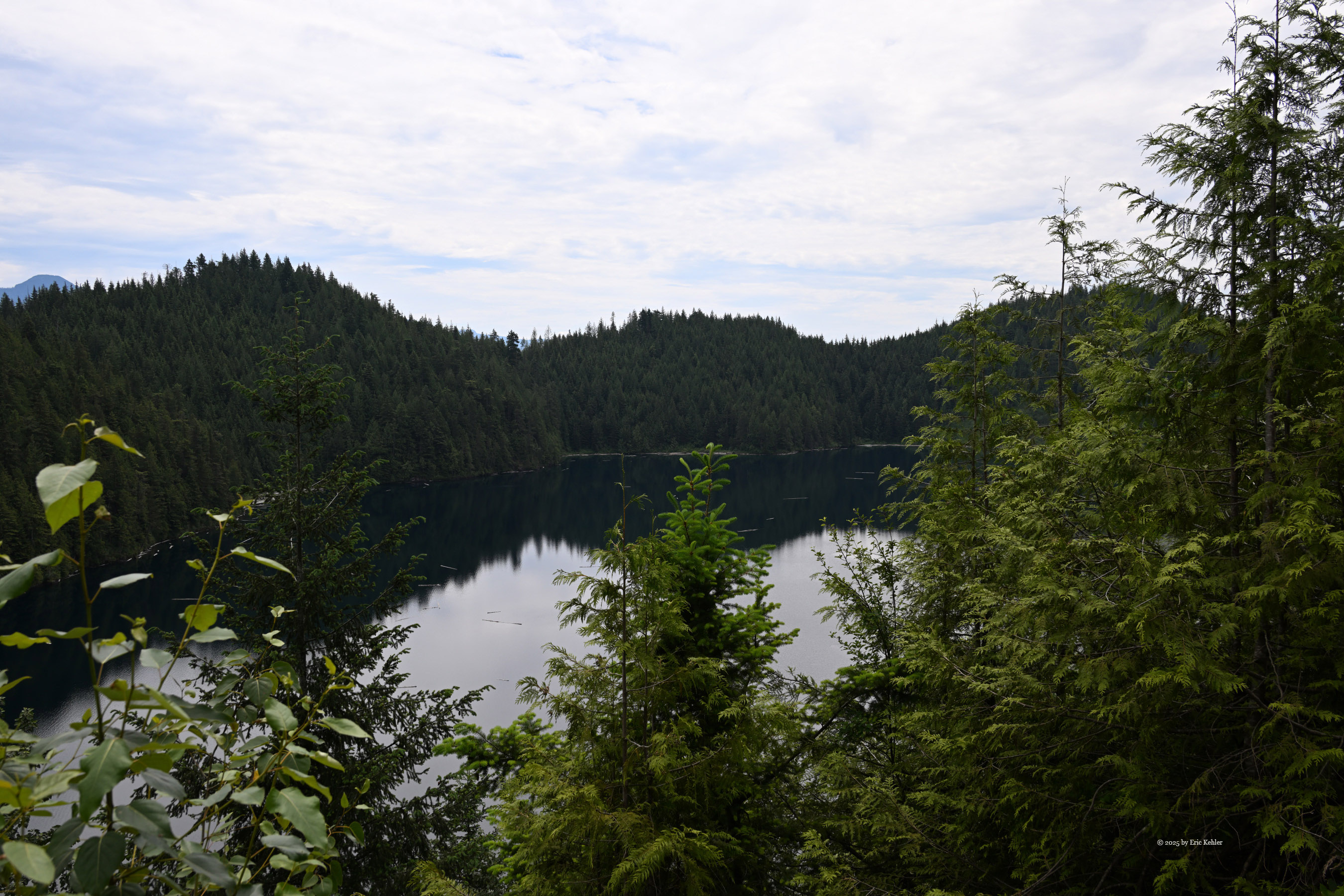
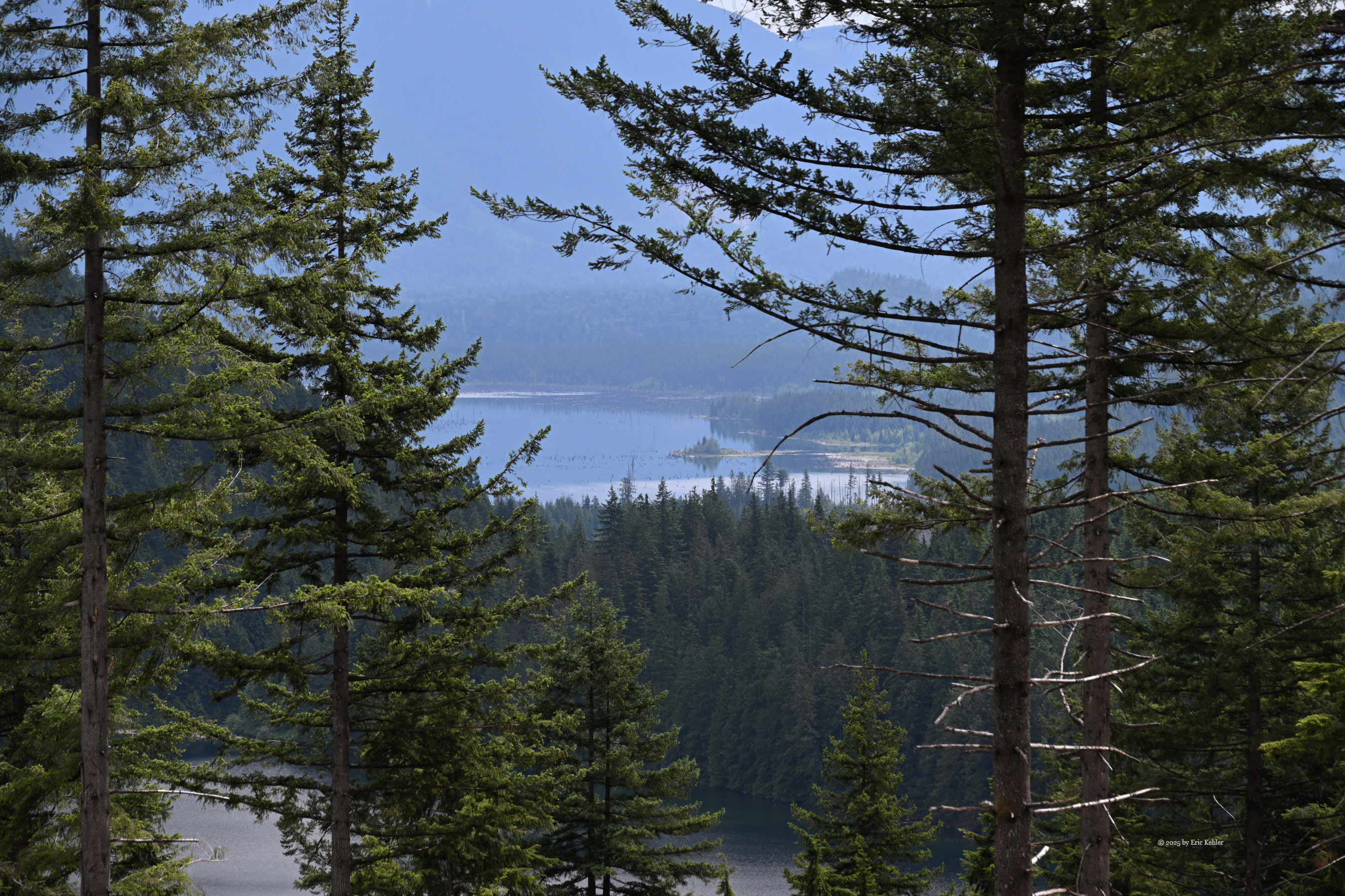
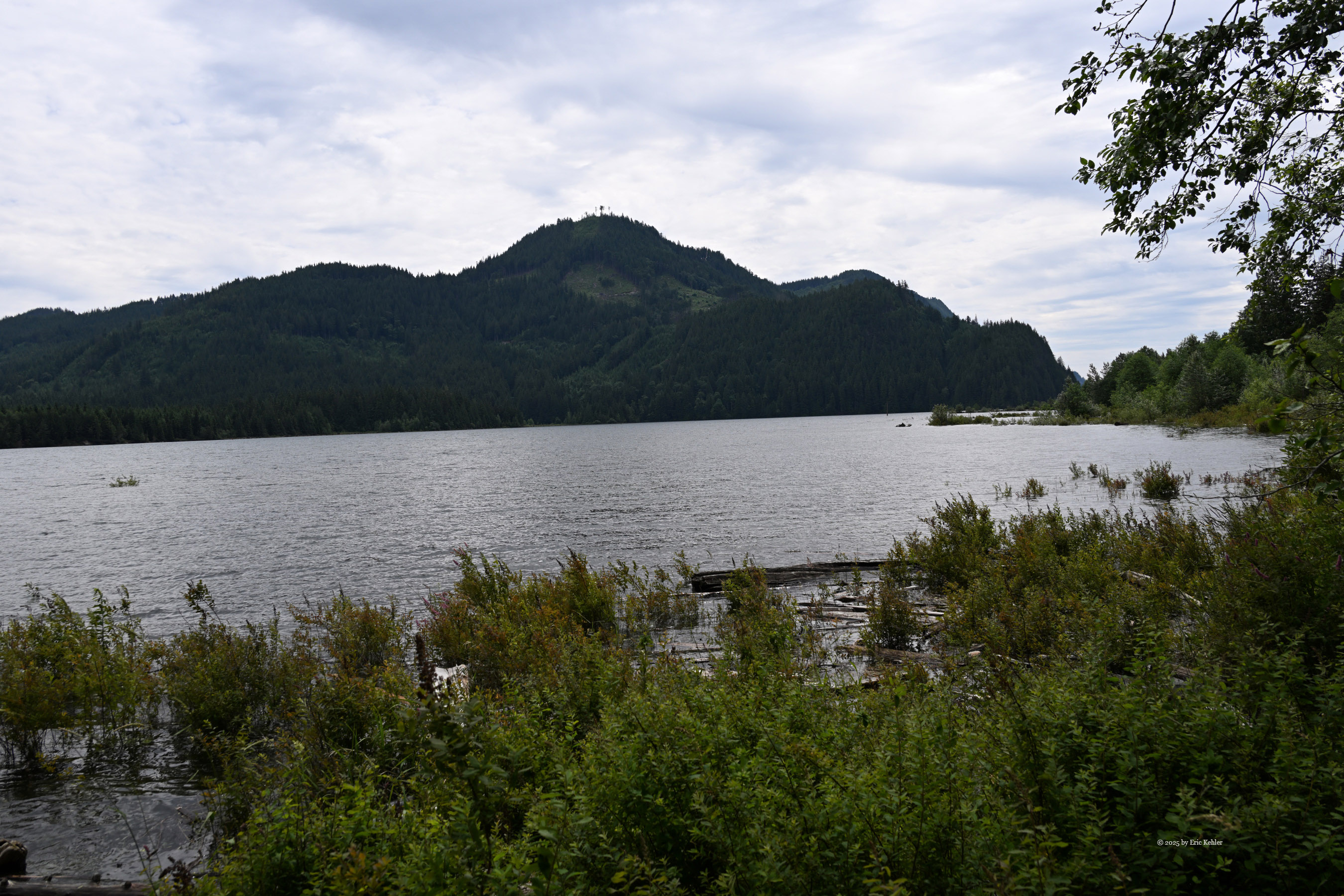
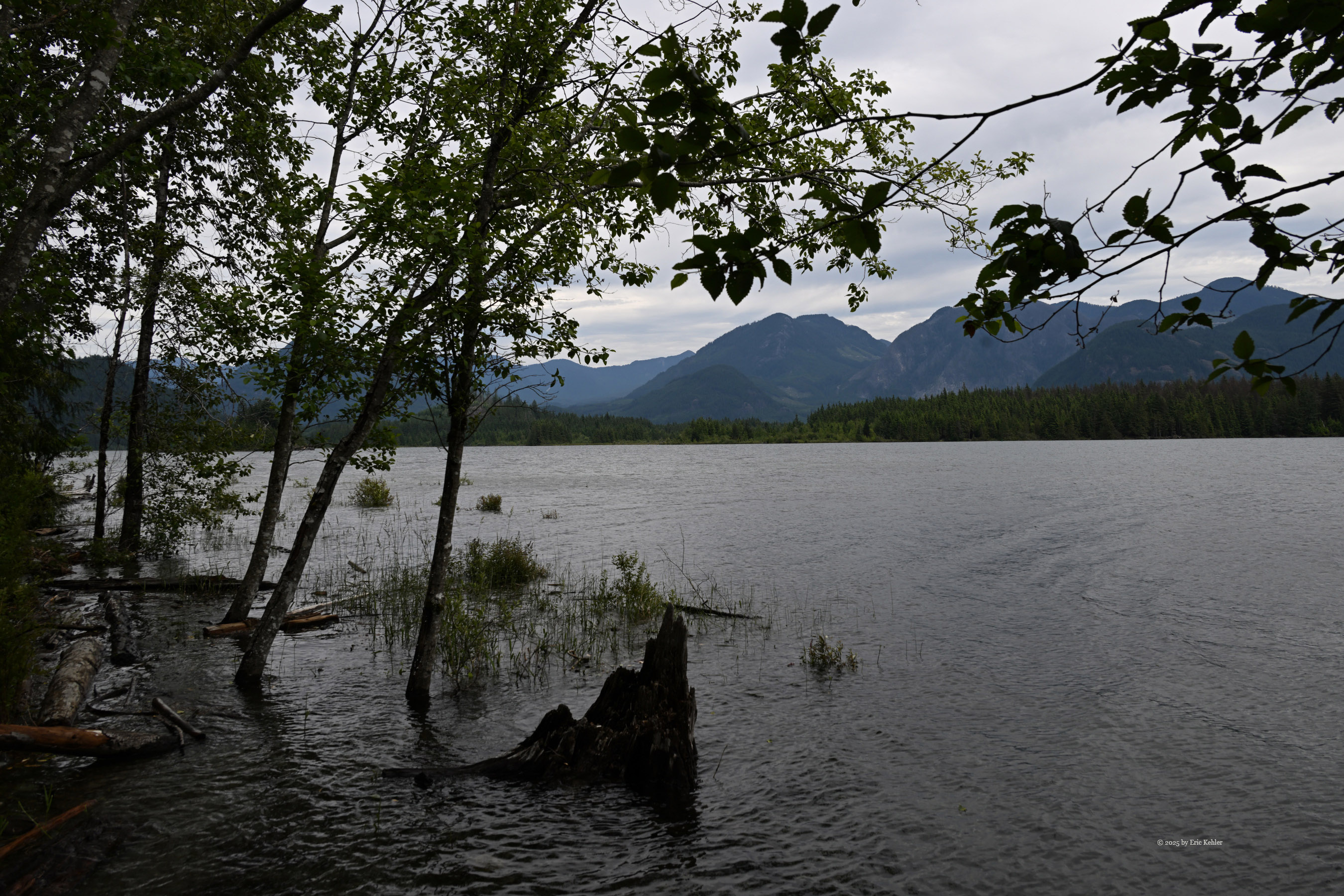
While driving up the road, we enjoyed a few brief stops to take in some views of Stave Lake. At one stop I watched a pair of geese tending their three goslings. These were already getting be a good size. We returned to the truck and continued up the road to the Rocky Point Recreation Site. Rocky Point is a popular camping location as there are a number of over-night camping spots which are right on the lake offering a gorgeous view eastward across the lower lake. As we entered the campgrounds we were greeted by the host. We had a lovely chat for a few minutes. He has been the host at this location for several years. We continued in and found a site on the lake next to one that was occupied, the rest were all empty. We grabbed our lunches and made our way to the provided picnic table.
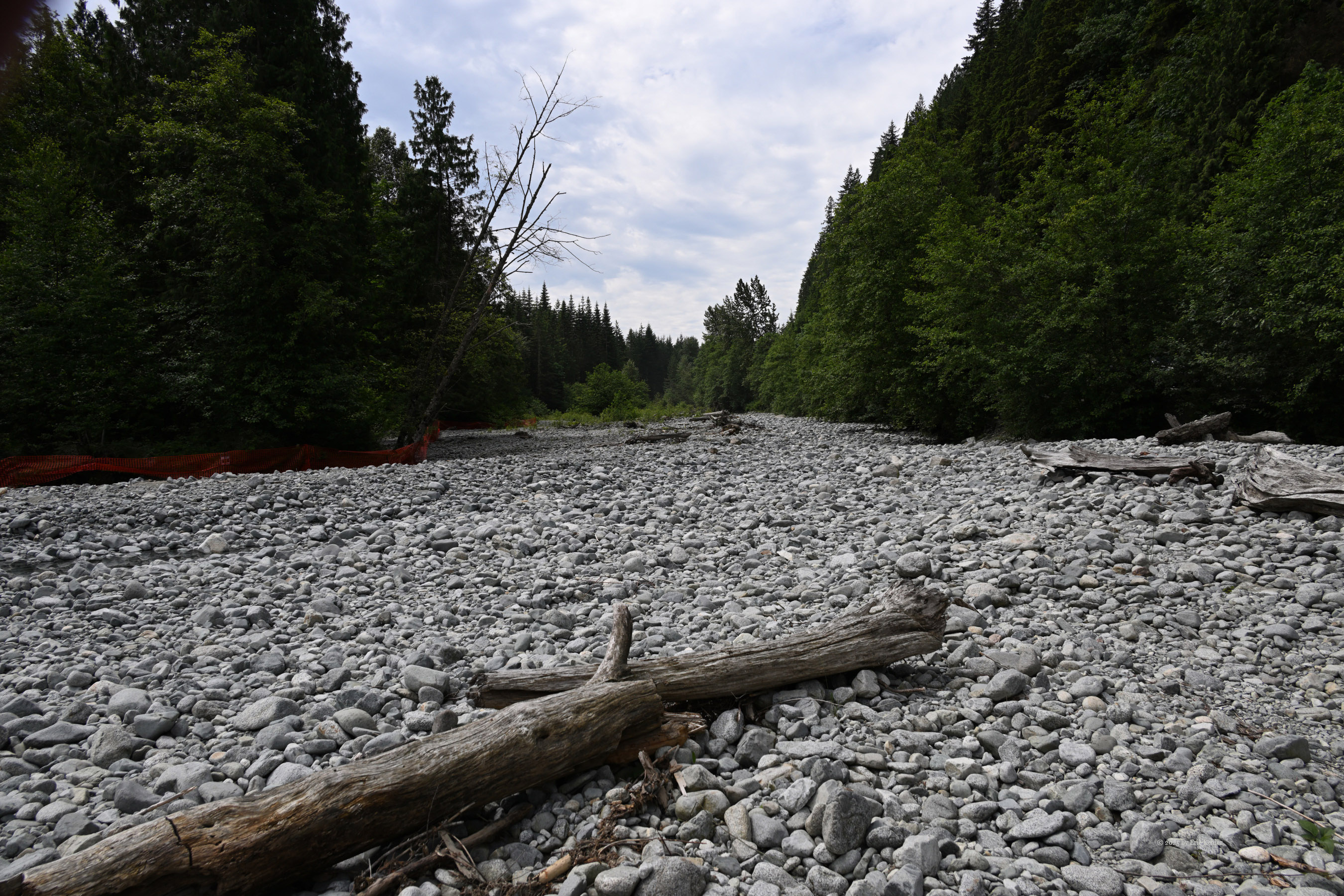
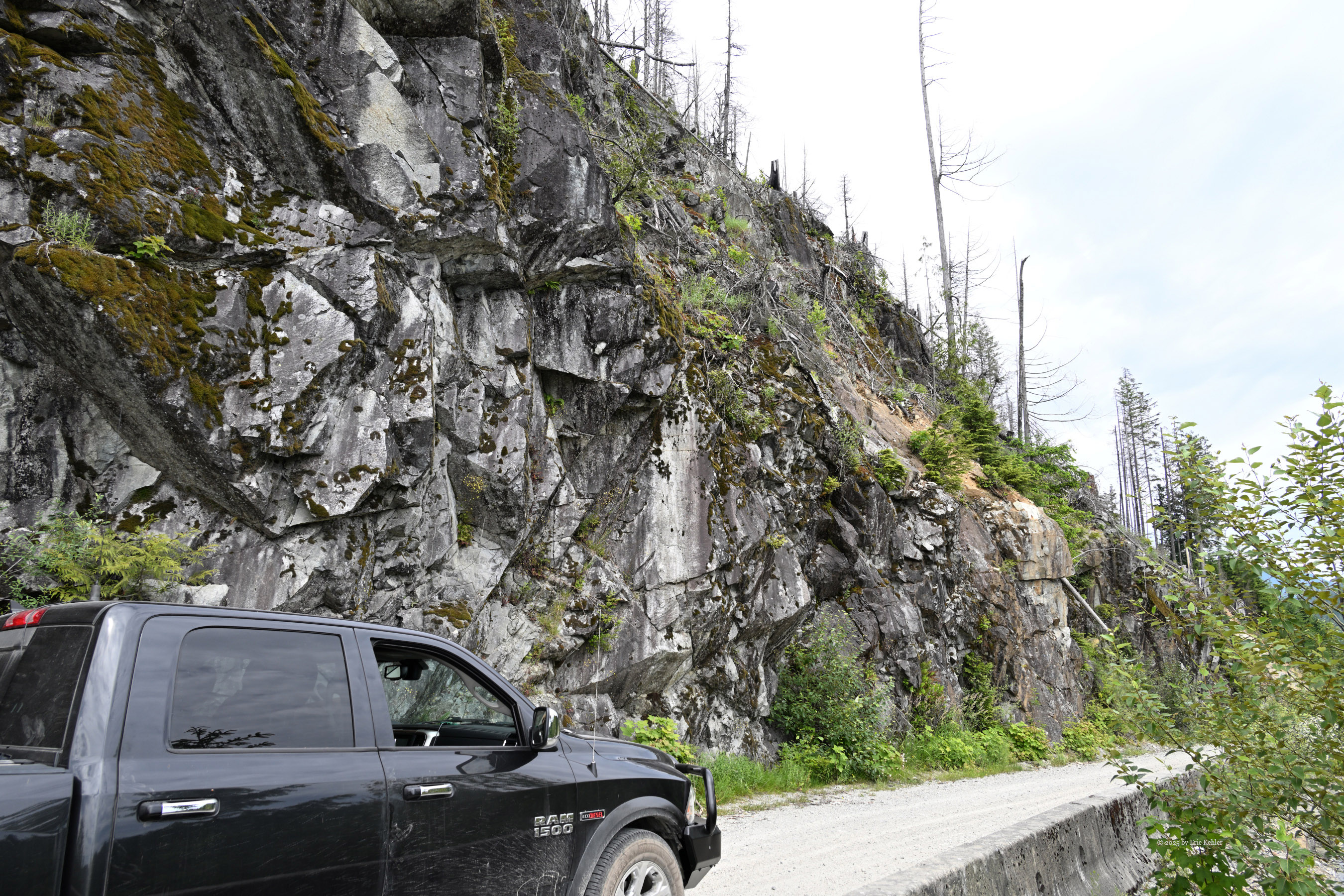
As we enjoyed a decent sandwich Nick marveled at the size of the lake. I mentioned that this area is all mud pits when the lake level is lower and it is here that people drive their 4x4 through deep mud puddles splashing it 20 feet into the air. I’m not sure why anyone wants to do that but it was interesting to watch on a previous trip. Done with lunch we left the camp ground and continued up the main road, passing Sayres Lake and then Morgan Lake. The road was still in good shape but much rougher than the earlier section to Rocky Point. Some road grading was taking place as surveying for some future logging was occurring.
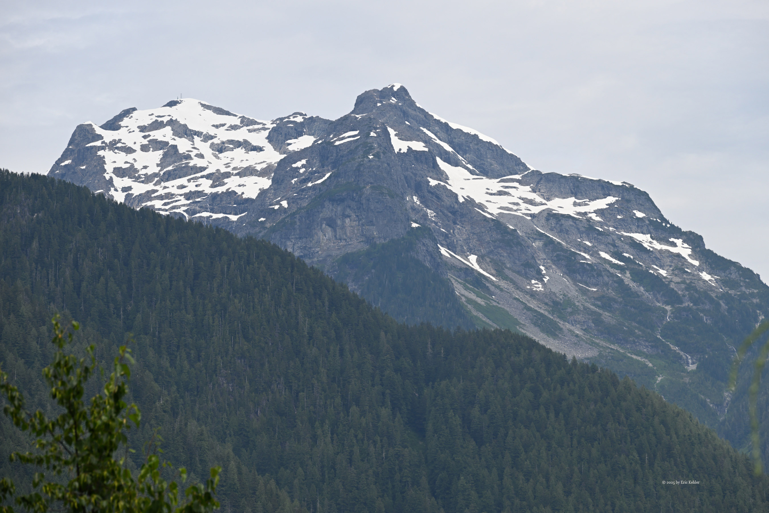
We stopped for a few photos but continued on to Florence Lake. Here we had a lovely view looking down on the small lake and across Stave Lake to the mountains on the far side. Not much further we reached a locked gate. A Hydro worker had just passed through and was locking it. He was not allowed to permit vehicles through. I guess now that I am back in the hills the idea of riding back-country type e-bikes will be a possibility again, then locked gates no longer stop one, most are there for vandalism issues not safety.
Disappointed that we couldn’t get to the amazing view point I felt was one of the best I’ve come upon, we turned around and back-tracked to a fork where a small spur connects to the main road. We turned onto it. It was quite narrow with over growth and dropped down the slope a ways. Nick was quite enjoying this aspect of the drive and we continued to the end of the road where there was a small clearing where people had camped. I gathered a few photos and then we returned to the mainline. The one annoying issue with this was the constant whining of the ultra-sound proximity sensors on the truck. It did not like the bushes brushing past the vehicle. I will need to see if they can be turned off for back-country trips.
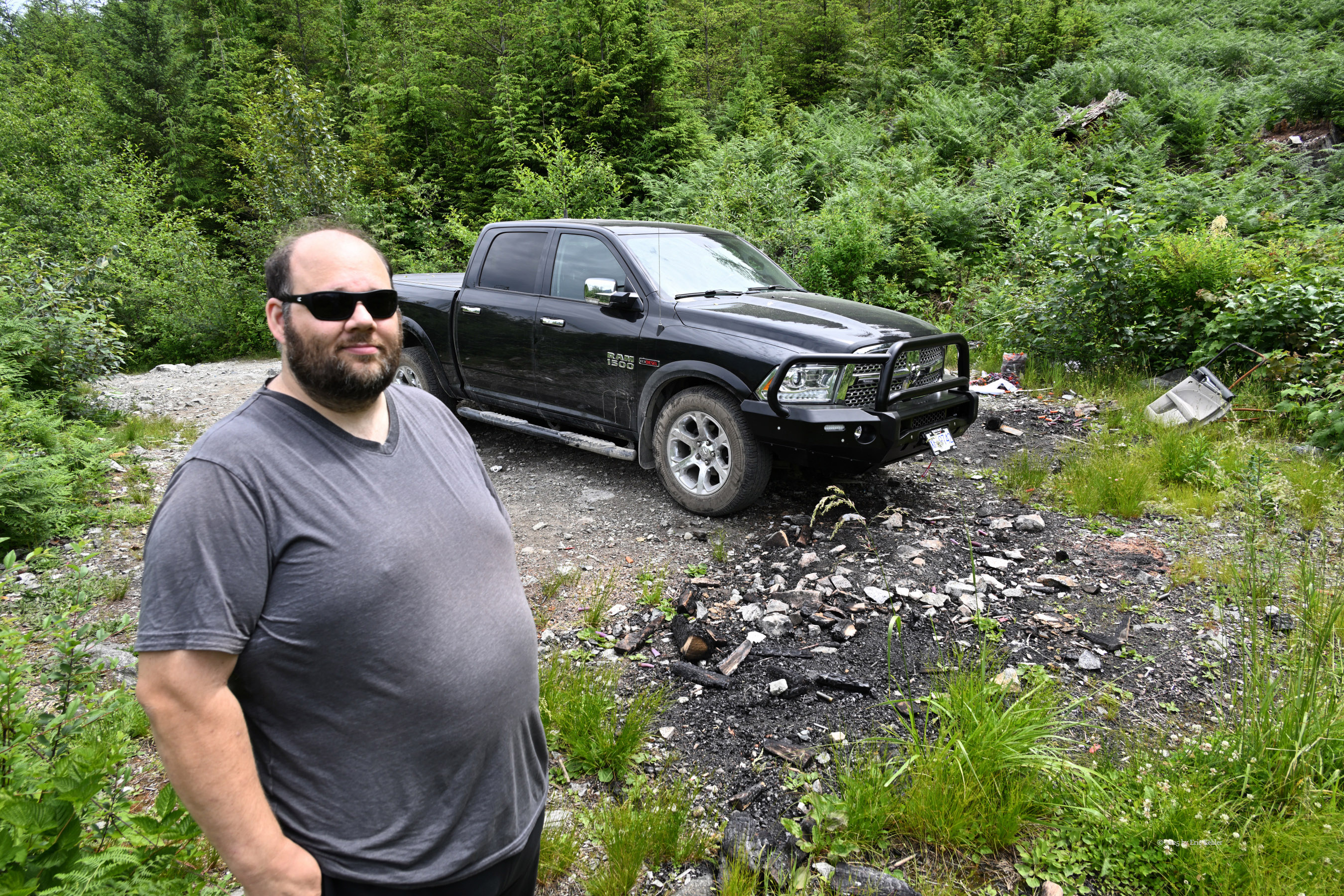
We continued back and tried the next side road. This time we continued until we reached a difficult crossing section. It was quite steep with a stretch of smooth exposed rock face and I didn’t feel that Nick was ready to try this level of driving yet so after a few photos we backed the truck out. The nice rear camera helps a lot with driving; my old truck lacked the feature. Back on the main road we drove back most of the way out but pulled into a second camping area with view of the lake. A few more photos, they had an information sign talking about the area and it included a photo from the spot I had hoped to reach. I showed it to Nick and said that this was the view I was aiming to reach, so he did ‘see’ it in the end!
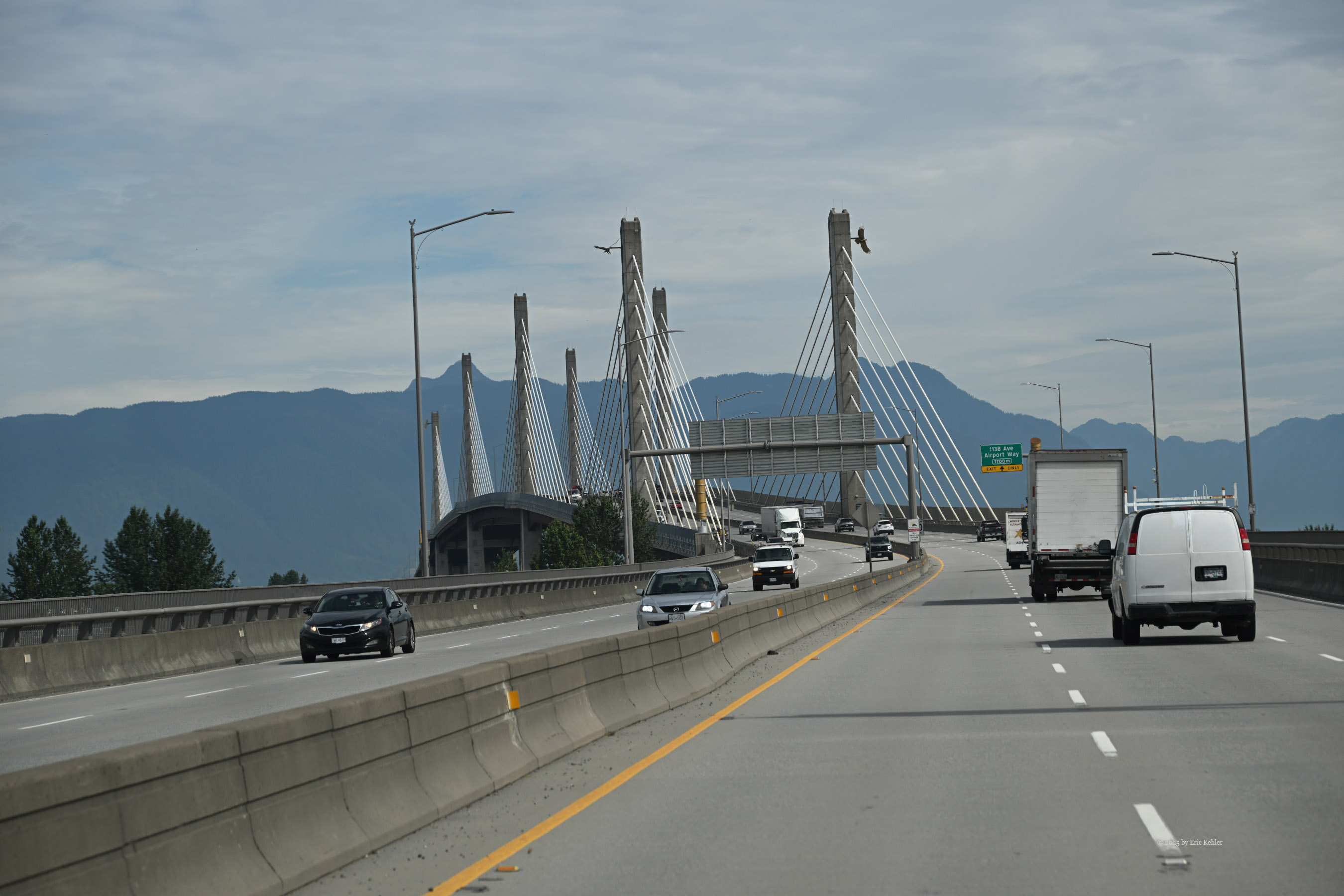
The rest of the drive went quickly and soon we were back on pavement with an hour drive to home. The navcom said we be home at 3:53. After the hour’s long drive we arrived home at 3:52! It gets more impressive all the time.