Return to the Silver Skagit Valley
Our first trip of the year encountered deep snow, so today’s trip was to explore the same roads further in and totest out my HF radio kit.
Category
Serendipitous Discoveries
2010
Click on image to view gallery
We explored the Sowerby FSR as our first adventure. Previously we were stopped by deep snow along the lower stretch of the road. It had taken us awhile to get unstuck from that adventure and we were determined to return to see more. We zipped along the road and well past the place where we were stopped before we even knew it. The valley had very steep walls and gave us a nice feeling of isolation. We encountered a group of ATV’s exploring the road like us, they had been here a few weeks earlier but were stopped by snow, we had a couple of chats with them along the way.
We slowly made our way up the north flank of Mt Stoneman and enjoyed the views of the Sowerby valley and Isolillock Peak. A small pond caught my eye so I planned to shoot it on the way back rather than stop on our way up. As we neared the ridgeline of Mt Stoneman we once again encountered snow and it blocked our way from crossing over the ridge. Though there was likely much less than a kilometer of covered road it was dense enough to stop us. So we back tracked to the pond and I gathered a number of photos. We continued our way back down the road to the valley floor and then set off along another spur that led to a closed valley. There we found a nice stretch of road to stretch out my 130 foot antenna.
This was our first NVIS use of the HF gear in the back country, we selected a spot that was surrounded by mountains to ensure that the signal had to bounce off the ionosphere but be close enough for good VHF coverage to aid us in setting things up. The selected spot had a tall mountain between us and home so this spot, along the north-western flank of Mount Stoneman, should ensure the correct propagation was happening. We stretched the antenna out along the road and tied the long end on to a stump above the road proper. The near end was supported by one of our portable masts. We pulled it tight and hooked it to the radio. Unfortunately we were not able to reach Carolyn at home. We did manage a contact in Oregon so we knew it was working but not for local distances. After trying a few configurations we decided that we would need to rework the design and setup a bit for our next try in the Elaho Valley. We packed up the gear and resumed our exploration of the area.
After leaving the Sowerby FSR we dropped into the Silver Lake park camp ground area which was closed previously. There we walked the west side of the lake and helped one couple load their boat onto the roof rack of their SUV. It was a pleasant spot but I do prefer the views from the other side. As we still had plenty of time we decided to re-explore the Yola Creek FSR. Last time it was covered in snow and ice which made a lovely scenic setting. Soon we were on the road. It was a much tighter fit with the trees in leaf and the road was much bumpier. We got only a short ways past our previous stopping point as the road got too narrow for us – and ATV would have no issues. Along the road we noticed that many of the campsites had piles of garbage left behind. It was quite disgusting. I sure wish people would learn to pack out their crap when they depart.
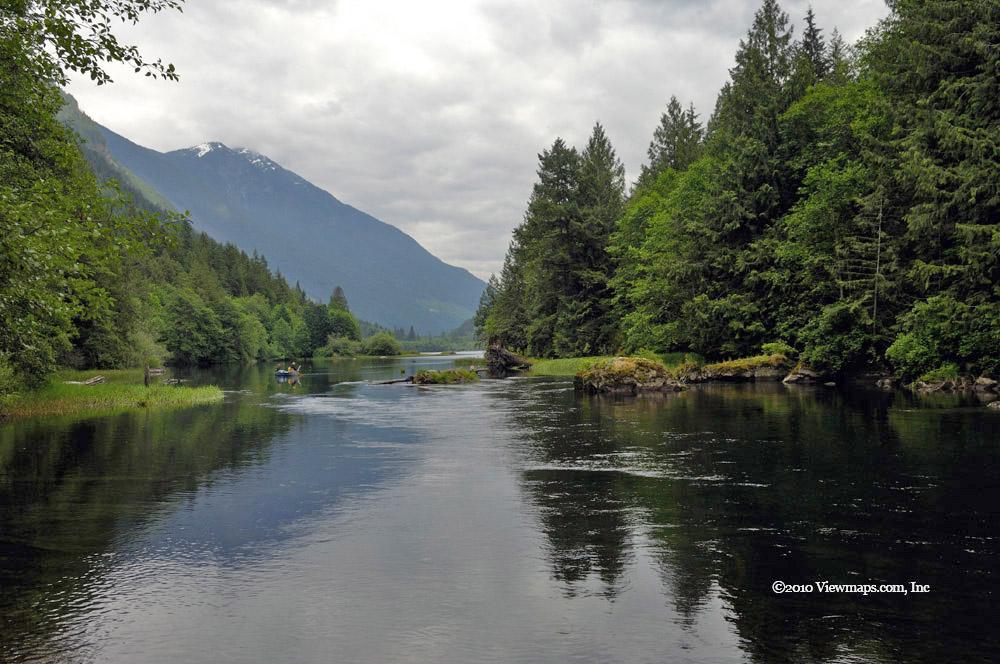
After the Yola we tried the Cantelon north section and this time made it to the end of the road. As this road had good elevation we had a lovely view of the Silver-Skagit Valley. On our way along this road we stopped to mark the cross ditches with flagging tape for others as they were difficult to spot. Hopefully it will help a few future users of the road avoid some bad bumps. Once we were off the Cantelon we set off for home. We had a stop at the north end of Silver Lake where I got a few lovely pastoral type photos of the lake and a few fishing. Then it was ainto Hope for a quick stop at the Blue Moose for a coffee before our drive back home.
Story Lines
Recent Posts
- Serendipitous Discoveries, Parks on the Air / Jan 19, 26 /
- Parks on the Air / Jan 17, 26 /
- Serendipitous Discoveries / Oct 30, 25 /
- Serendipitous Discoveries / Oct 21, 25 /
- Serendipitous Discoveries, Parks on the Air, Coastal Views / Oct 20, 25 /
- Parks on the Air / Oct 07, 25 /
- Parks on the Air / Oct 03, 25 /
- General Collections / Sep 22, 25 /
- Parks on the Air / Sep 18, 25 /

