
Capilano Canyon

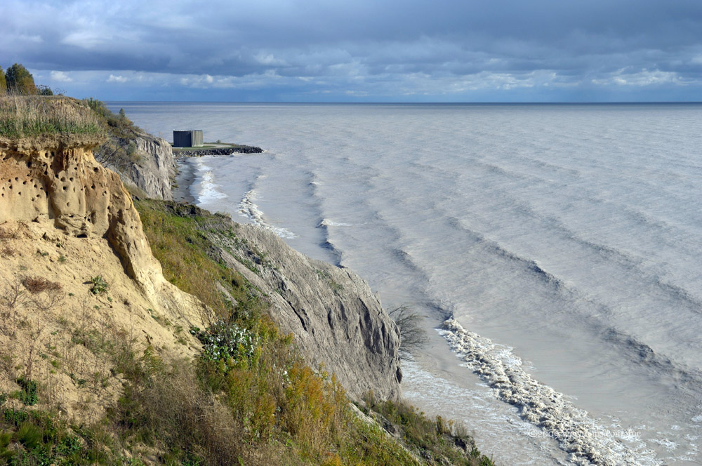
The Capilano gorge area just below the dam is a popular hiking area and offers the visitor many lovely scenic views of the river. The big negative of the area is that it has very easy access with easy walking trails making it a regular stopping point for bus loads of tourists who are visiting Vancouver in addition to large numbers of sport fishermen. The public viewing of the fish hatchery only adds to the crowds. This aside, the area still has ample spots where you can get some solitude and some good unobstructed views of scenery. Watching some of the fishermen standing on rocks near straight drops to the river below makes one wonder about their sense of safety. At-least they have traveled the cliff walls enough to develop quite useable trails for others to use.

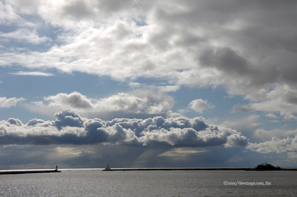
So I decided to head to the river on May 31, 2008 to see the dam and capture a few glimpses of the river gorge. We arrived to partially cloudy skies which provided sufficient light of the river views. Our first stop was straight down to the river from the parking lot to the cable pool lookout. We then made our way up-stream towards the fish hatchery. The cable pool bridge was swarming with people as we approached and so we decided to go past and look at the exhibits at the hatchery, several bus-loads of tourists were arriving so I didn’t want to stay long. As we started back down the river a group of white water kayakers were unloading for a trip down river. I chatted with one of them as they were getting organized.

We made our way to the Cable Pool bridge where I got a few interesting photos at a point between groups. Then it was on to the view point of the upper canyon and dam. The water flow was high and the mist generated was dense. It was in fact dense enough to completely soak us at the viewpoint in a few minutes. This limited the time I could have the cameras out as they were getting drenched! We then made our way to the top of the dam, but first stopped by the giant “Grandpa Capilano” fir to ponder the massiveness of its size. These trees surely do reach an incredible mass.

Looking down the river from the top of the dam was quite spectacular with the full volume of water being let out! Last time here it was only a trickle. A few wide angle shots and I was able to get a few unusual angles of the dam, water and gorge below not to mention Ethan on his cell.

We then made our way down the east side of the river back to the truck where we stopped for a rest. Ethan had developed a sore ankle and so we decided to call an early end to the hike for the day with plans to do the lower section in a couple of weeks.

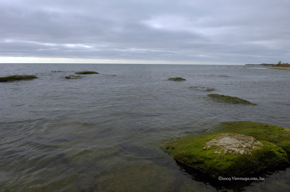
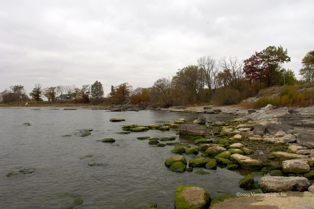
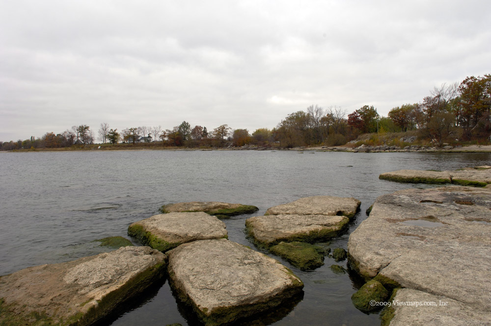
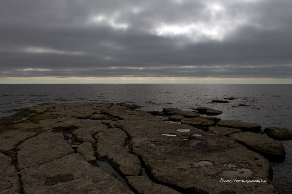
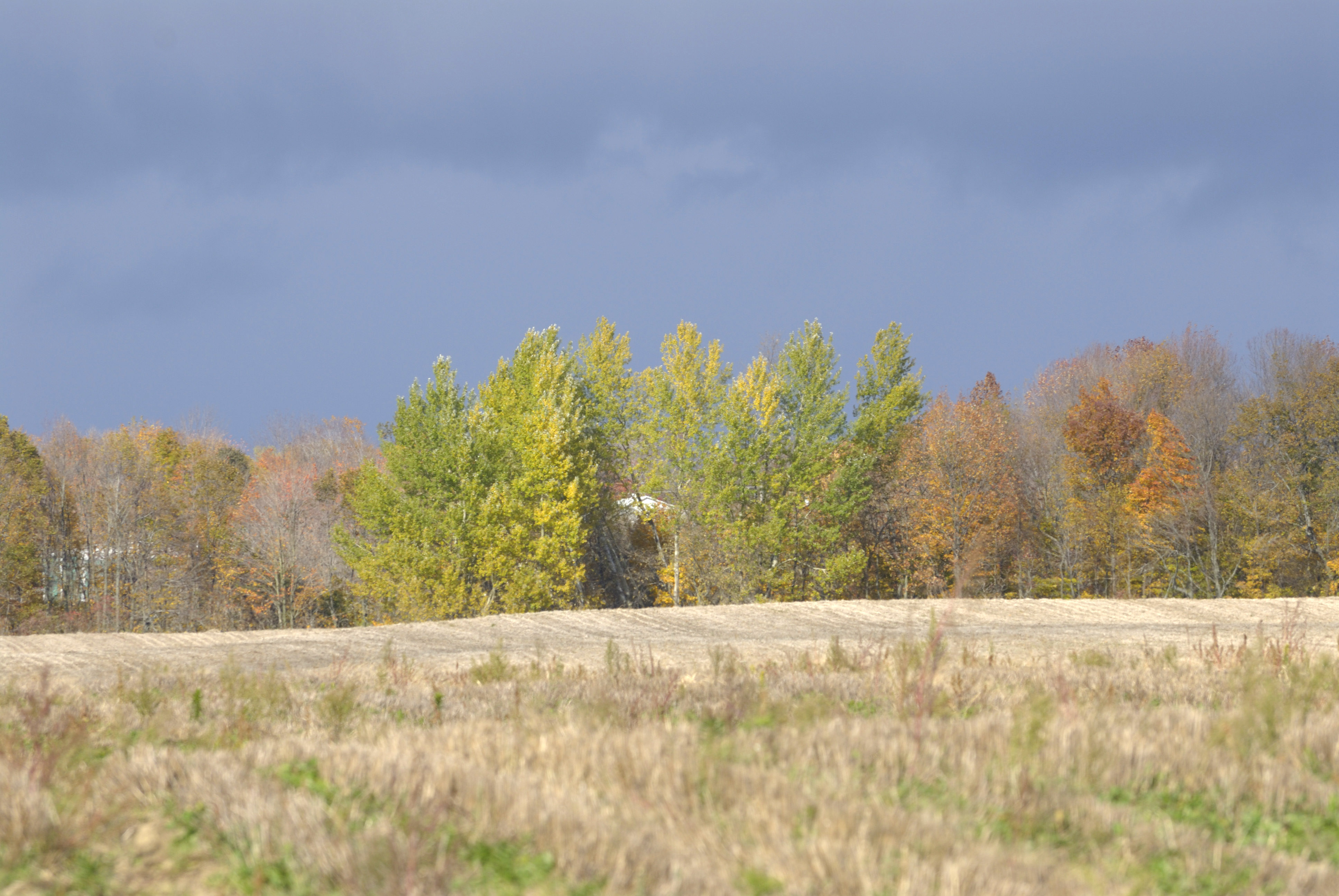
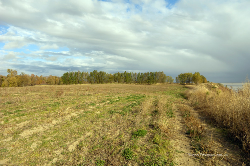
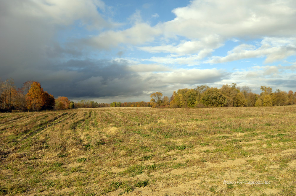
So on June 14th we made our way back to the same parking spot to resume our hike and walk the Coho loop trail. There were quite a few along the river fishing this morning though most were saying they had caught nothing for their efforts. The loop trail brought one to several viewpoints of the gorge but the best views were to be had by following the well traveled side trails created by the sport fishermen. I took a number of these to find some nice vantage points of the river. It was only two weeks later that another photographer pushed his luck by going beyond the traveled paths to get the perfect image that he needed rescuing to get back to safety! It might be acceptable to take a few risks to get a good shot but one must know the terrain and their abilities before pushing the bounds and landing oneself in a dangerous situation.

I quite enjoyed the view from the pipeline bridge. The river below presented some lovely colours, highlights and current eddies to make for a wide variety of images and textures. I could have spent all day here but I did want to see how the west side of the river looked. Though there were a number of side trails along this side as well, I was getting a bit tired and opted to pass by a number of them. So it was back to the cable pool bridge and up to the truck.

The two hikes along the canyon were nice easy retreats from the noise of the city and did provide a number of interesting sights. Most of the tourists stayed around the hatchery which left the southern loop for the more serious hikers which were few in number. It is an easy walk and I recommend it.

Harrison Lookout

It was a good day for hiking, dry and some cloud to cool down the excess sunlight and add a bit of interest to my photography. We got to the trail with little delay, traffic was light and there were few SUV’s on the logging road kicking up dust. When we arrived at the trail another group was already packing up having completed the hike. It isn’t a very long trail, only 4km return but it is quite steep in places – climbing 350 meters over its length. The trail itself is well marked and maintained and is easy to follow and was a good starter hike for me this season.

The views along the trail were interesting and gave a view of Harrison Lake which was being occluded with smoke from a new forest fire on the far side. Though the area around the trail showed some signs of its past logging, it was mostly treed and a lovely location for a trail. The trail starts on an old logging road and leads to an abandoned fire watch lookout on the top of the peak. The cabin stopped being used by the forest service many years back but local hiking groups have maintained it and today it provides a welcome overnight cabin for those desiring to spend a night on the top. 

The view from the cabin was quite lovely in its 360 degree coverage. Unfortunately, since it was abandoned by the forest service the trees around the peak have grown up and now obscure a fair portion of the view. I have mixed feelings towards those taller trees since today I can see only portions of what was once a spectacular view from the site.

The walk back down gave further glimpses of the lake and allowed us to search for Ethan’s sun glasses which he had dropped on the way up. Unfortunately, we didn’t find them. It seems that we lose something on most of our hikes into the hills; these were at least quite inexpensive to replace.

Skagit Range Snow Shoeing

I quite enjoyed the bit of snow shoeing I did last season and dearly wanted to get out for some more snow filled adventures; but the season was rapidly closing and I still hadn’t gotten out. Finally on April 12 I had the opportunity to get to the Chilliwack River area with my Snow Shoes. I had planned to drive up Church Mountain and hike along the higher portions of the logging roads as it is a scenic area and quite easy to reach. Unfortunately, as we got only a short way along the FSR we were blocked by a new locked gate! This was recently put up – not by forestry companies protecting their equipment but by the military to keep the area clean so as to prevent embarrassment in front of international visitors. It would appear that so many people would dump garbage along the road that it had become a big ongoing task for the military base in the area to clean it up. Since they had regular foreign visitors they wanted the area to look presentable and so after years of cleanup they finally gave up and simply locked 4x4’s out! They did provide for access to quads and others by permission. I find it appalling that so many do dump garbage out there, it really needs to stop.

So as Church was not accessible, we moved on up the valley to the Chipmunk FSR, the main access to Mt Cheam. We were able to drive in only 2km before the snow blocked the road and we had to park. So though we didn’t get in as far as I had planned, we did reach the snow and we quickly got out the snow shoes and started up the FSR. We made it to the 4km mark where we felt quite tired and worn out, so back we went. We had to jump out of the way of a few snow mobiles as they ripped past at full throttle. It was a good work out – and the weather was hot and cooling so it made for a pleasant hike.

Our way home had much excitement as we decided to travel the logging road that parallels the main paved road along the Chilliwack River. About half way back to pavement our cab filled with smoke and we suddenly fearful of a car fire! It seemed that the transmission was on the verge of igniting. So we quickly stopped and let the SUV rest. After a short while and looking over the vehicle we tried moving again, but quite soon smoke started filling the cab. We were starting to panic as while I may have BCAA roadside service, it doesn’t help on a logging road, so I had to find a way to get the several kilometers to pavement. The strange thing about our situation was that there was no smoke outside the cab! As we were getting close to the final downward part of the road, we limped the SUV along keeping the RPM’s low which slowed the smoking to a simmer. Then we coasted out of the logging road onto pavement. But we noticed that low RPM’s stopped the smoke so we kept driving and did make it home.

The next day the Pathfinder went into the shop where it was discovered that the problem was an exhaust leak. High RPM’s caused the escaping exhaust to heat the floor under the driver which was melting and burning the rug.

So after that adventure and repairing the truck we decided to try a second round, this time on April 26 and one FSR further east – the Airplane Creek FSR. As we were leaving my wife said to be careful as it was avalanche season. We assured her that we had nothing to fear where we were going – but did we? So after driving the FSR as far as we could we started out on the shoes and looked forward to a fun outing. This road was much steeper than the Chipmunk trek of two weeks ago, so we found ourselves tiring quite early. As we rounded a bend about a half mile up, we heard a thunderous roar off in the distance! 

We looked around and seeing that everything looked safe where we were, we decided to keep going. After a short while further we had a good view of the cliffs across the creek and then we saw some sizable snow fields sliding down the clefts followed by the roar. So we found our avalanches! Relatively small but I am sure that if one was in their path they would carry you along! We watched numerous more crash down the mountain as we hiked along – all fortunately on the other side of the valley. As the road was steep, we didn’t hike as far as our previous outing but we did get more scenic views this time.

So after two hikes in the snow we finally had our fill of snow shoeing for this season. They were fun and a good work-out! Our drive home was much less exciting then our earlier trip.

Squamish Water Parks

It looked like it was going to be a great day for photography. The clouds were broken and full of texture; the temperature was cool, almost ideal for casual exploration of the outdoors. I had really enjoyed my previous visit to the small lake in Murrin Park which goes by the name of Browning Lake. Though it is fairly small it has easy access around its entirety and every few feet around offers differing and quite scenic textures to explore. So I thought a visit in winter may present a few new adventures at the lake. As we approached the entrance we were greeted with a locked gate and a parking area full of construction equipment. It was not welcoming and the signs warned us off. So although being rather disappointed I decided to carry on further up the road and see what Brohm Lake could offer.

Brohm Lake is another lovely area to explore. Quite a bit bigger than Browning, Brohm takes much longer to walk around and has a much more rugged atmosphere to it. I wasn’t planning to walk around it today but did want to explore the one small area I missed on my last trip. Fortunately this section was the closest area to the entrance. When we arrived the lot was deserted, we were the only one there except for a pile of snow at the far end of the lot. This was a bit unnerving but I was determined to get some lake photos so we headed out for the water. We quickly got down to the shore and noticed that the far side was still covered in ice! I no longer was surprised that it was not a major tourist stop this early in the year.

I found a number of interesting objects to photograph, one tree stump proved quite fascinating to me and I tried many differing shots of it. I also was attracted to a single tree growing out of the rock but despite trying many angles I was never satisfied with the images captured. After spending some time sitting on the shore enjoying the lake and the changing light as the sun was repeatedly being hidden behind clouds, I felt it was well worth the effort to get here. We took time to eat our lunch and watch a couple of others come to the lake for a few minutes and depart. When we left we were alone once again.

On our way back I decided to drop in to Porteau Cove. I had driven past the small camp ground many times and though I had explored the boat launch area I never gone into the actual camp ground. So as it was still early I felt it was time to see what attracts people to this site. We drove into the camping area and found a campsite that was on the water and empty so we parked there and got out and walked onto the beach. The beauty of the place is seen and felt immediately! I no longer wonder what attracts people to this small nook on the side of the highway. The view of Howe Sound was spectacular and come sunset it would be breath-taking. I will need to return for a sunset later this year. We walked along the beach for a short ways and also turned over rocks to spot the numerous little crabs that hide under them. After returning to the car we drove down further along the camp ground and spotted a walking trail the leads to a point just south of the camping area. That promises some exciting adventures in the future.

We then made our way back to the highway and set off for home. The work on the Sea-to-Sky highway is coming along quite well. The completed parts are much easier to drive though I am very concerned about how one will access Deeks Bluff once they have improved the road in that area. It would be a terrible loss to lose that access as the hike and views are excellent.

Day 2 - Beamer Falls

I have been to the Beamer Falls Conservation area a few times during my prior visits to Grimsby, but I had never actually gotten to the base of the actual falls for a view looking up at them. So for today’s visit we decided we would hike in along Forty Mile Creek to Beamer Falls and explore what sights we were offered.

We began our day with a quick stop to the observation area overlooking the upper part of the falls and creek. The colours of the trees were quite lovely but with the overcast skies the colours were muted and didn’t scream out with their true vibrancy. The clouds were threatening rain so we were a bit apprehensive as to how we would fair on our longer hike along the creek. Getting caught at the far end with rain coming down and now wet slippery rocks between us and the car were not the adventure we were looking for. But a small amount of spitting didn’t stop us, so after capturing some panoramic shots from the top we got back in the car and headed for the lower entrance to start our hike.

Once we got parked and started on the hike along the creek we were more than satisfied with the beautiful colours and the variety of images before us. I spotted one log below the trail that was covered in layers of brown fungus – the many layers of fungus were quite spectacular. Once we reached the end of the trail and started off along the creek are fears were quieted as the rocks were damp but not wet and slippery so it looked like the hike along the creek would not be too difficult. 

We crossed back and forth over the creek a couple of times as we made our way to the falls. The crossings were by far the most challenging part of the hike. A few times I came close to getting a boot full of water! When we finally reached the falls we stopped for a rest and took some time there getting a number of different shots. The flow was quite low so the falls were not as full as they can get, even so they offered a number of interesting angles. As we rested the rain started to fall so we quickly decided to get moving and hopefully get back to the trail before the rain made the rocks slippery. We were fortunate in that the rain only spit at us for the next while and we were safely back in the car before any serious rain came. Our next stop was a local café for a late lunch and some coffee to warm up with.

It was a pleasant short initial trip for this year’s visit to Ontario. Though a dull day, the leaf colours were still quite intense but I was hoping that we would have a better day with some sun before I returned home.

Day 3 - Spencer Gorge

After a dull first day out I was really hoping for a good day on my third but last full day in the Hamilton area. Mike had suggested spending the day exploring the Spencer Gorge/ Webster’s Falls Conservation Area. So when morning arrived, I was glad to see broken cloud and my anticipation of having good light for exploring this new area was growing quickly. The drive from Grimsby went without incident; I saw new areas of Hamilton and McMaster University which each had some scenic areas that looked like they would be worth exploring on a future trip.

We arrived at the conservation area mid morning, the temperature was quite cool and I sure hoped it would warm up once the sun was out for awhile. We set out for the trail that circles around most of the gorge and were soon making our way down some stairs into a lovely forested area. The ground was covered with leaves of many hues and with the sun shining through the gaps, the area looked very rustic and invoked some story-book images in my mind of idyllic autumn scenes. Soon we came to a point over-looking the gorge, but I got only a few shots as we were looking into the sun. In the gorge the mists were still rising off the creek and though back-lit from here, the day looked very promising.

We continued our way along to Tew’s Falls. The flow of the creek was not fast but the height of the fall was impressive. We were able to walk right to the edge of the drop! I got a few shots hanging over the edge while hugging a tree that made its home on the edge. I really loved the spot but after staring over the edge through a camera lens I started to develop a bit of vertigo, so it was definitely time to move back and continue along the trail. This place would be very impressive in the high flow season! I was quite surprised to see how easy it was to get to the edge – no fences or other impediments to putting oneself in danger as is so common in BC.

We walked around to the main observation deck where we could see Tew’s Falls from the front. While enjoying the scene, we noticed a few leaves suspended in an updraft and so added a few handfuls to watch them float suspended in mid-air! We then started back on the trail towards lookout point. As we wandered along the upper trail we stopped at a number of points where we made our way to the cliff edge to capture a few photos and hang our feet out over the edge. In a few places we were standing on an over-hang that I am sure has been there far longer then even the first nations have been here. By the time we got to Dundas Point the sun was quite bright and the air was a bit warmer which made for a lovely time hiking.

After the point we made our way down the escarpment via a small trail and then along the train tracks to where the main trail started up again along the lower area next to the creek. While walking along the tracks a train came towards us and zipped past at such a fast clip it knocked my cap off which sent me scrambling to retrieve it. As we walked along the creek, we entered some deep shadow which made it difficult to get many of the shots I wanted. We came to a fork where the two creeks, one from each fall, merge. I was able to get a few shots looking up Logie’s Creek towards Tew’s Falls but I will really need to cross over and explore that area more fully to really get a feel of its character.

We continued along Spencer Creek till we got to the foot for Webster’s Falls. The water flow was quite good and we enjoyed a really broad and powerful flow. Though not as high as Tew, Webster more than made up for it in volume! I image it would be a popular pastime in summer to walk right to the base of Webster Falls and enjoy the rush of the water as it spilled over you. We then climbed back up and to the top of the fall and then over the bridge on our way back to the car. The hike was not overly long or difficult but with packing my heavy camera gear I was definitely getting a bit tired by the end. So it was a welcome sight getting back to the car for a drive back to Grimsby and our room. 

The scenes I saw today were quite spectacular, and even though the cliffs are small in comparison to those in BC, it was more than enough to beautifully show off the multitude of colours being displayed by the trees. I definitely enjoyed exploring this area and was able to capture the best shots of this year’s trip while here in the gorge. After today’s hike I felt I had achieved some great photos and would be satisfied even if I got no more on this trip.

Day 4 - Traveling to Port Stanley

On my previous trip to Ontario I took a slow drive along the shoreline of Lake Erie. It was quite interesting and scenic but by the time I got to the Inn I was exhausted. So this year we decided to take a more direct drive and cut the time down. I did want to stop by Hoover Point on Lake Erie, followed by lunch in the little town of Selkirk, both of which have become a bit of a tradition. So we set off after a final breakfast at the hotel and took a direct route along the more major roads.

When we arrived at the lake shore and I was able to get out on the rocks, I took a bit longer than prior years to really enjoy the location. The air was fairly cool but at least the winds were only mild so it made for a pleasant time out on the rocks. The sky was overcast so the fall colours were muted and as we were past the prime for this area the leaves were not a vibrant as they would have been a week or two earlier. Consequently I gave more attention to the various rocks I was standing on along the shore.

I found the shape and texture of the rocks jutting out into the lake to be quite interesting. They have a very strong feel to them and with the dramatic contrasts the sky was offering, they combined to offer some stunning scenes. On a future trip I may just need to spend a whole day here and explore the details of the rocks under varying light. This trip I wandered along the shore a short way to a second outcrop of rock which had a very different look to it. But all too soon I was back in the car and we were on our way to Selkirk for a late lunch.

We made our way back to highway 3 and set out along the lake. At Tillsonburg we took the 19 to Port Burwell. I had hoped to see some of the wind turbines at the Erie Shores Wind Farm before we settled into our Inn. We did pass a few of the generators but we were on the western edge and missed the main group. At the beach in Port Burwell I was able to get a few photos of the wind farm but it was cold and windy so I didn’t explore the area and we soon set off for the Inn. We arrived in much better shape than last time!

Day 6 - Port Stanley Terminal Rail

On our previous trip to Port Stanley we were unable to take in the ride on the Port Stanley Terminal Rail which runs only on the week-ends this time of year. But this time we had lots of time on the Saturday and so we decided to try out the touristy thing. The ride, though not long, was fun and we learned about the history of the rail line which in its prime carried 1000’s a day between London and the port. The slow trip opened up some nice scenery in the area and with the sun peeking out I was actually able to get some decent colour to the leaves. The train itself was quite well restored and all of us travelers had fun learning about the area.

This area of Ontario seems to be more of a challenge to find the intimate sights than in St. Jacobs but they do abound I just need some better weather in which to find them. The two trips I have made to this area have both been somewhat restricted due to the weather. So as today’s weather wasn’t bad, I was glad that this train ride offered a few nice scenes to capture and not just fun tourist type photos.

Though past the peak colours, there were still many spots with some vibrant colours. The one drawback of the train ride was that I had very little time to compose my shots before the train moved and the opportunity was gone. I did miss a number of images where I couldn’t get setup for in time which was quite frustrating. I guess I will need to try again next year!

Day 7 - Stormy Weather

The winds were severe today and it looked like I would need to spend the whole day taking it easy in my room. But by the time I finished lunch I just had to get out and see the waves as they crashed into the beach. So I got in the car and drove to the far side of the harbour where the beach was taking the brunt of the weather. When I got to the end of the road the winds were whipping up the sand and creating drifts on the pavement. I wasn’t sure I wanted to get out as sand in the camera was not a pleasant thought.

When I got to the furthest part of the road I noticed a local TV news cameraman taping the waves and wind action. He had found a small patch where the sand was staying low and not bothering his equipment. I chatted with him a bit and saw how he was keeping the camera out of the sand. I walked out a short ways on the beach to get a few shots of the waves and noticed that he was filming me with the winds blasting my jacket! I may have had a brief moment on the local news that evening! Then just as we were both packing up a pair of guys came by with a large kite and we took a few minutes to watch them get it in the air!

I then drove along the beach road for its length but didn’t get any more photos there. I then set off to the residential area over-looking the beach but it was just too dull and windy to get any decent shots. So I set off inland a bit where the winds were quite a bit more subdued hoping for a break in the clouds so I could get some shots. I drove west of the port along some back roads I had not been on before and though I didn’t travel too far I did find a few interesting scenes.

I came across a small church with a lovely setting amongst some colourful trees. To its side was a small grave yard which I walked through and found some very old grave stones – some were over 125 years old! The setting was quite pretty but the winds were picking up a bit and there were splashes of rain and even the odd flake of snow! So I didn’t stay long and got back in the car and continued my drive back towards Port Stanley. After the church yard the light had dropped quite a bit and I didn’t find anything of interest to capture. So I was soon back to my room and out of the cold wind! It was a fun little excursion but the light was not that good so perhaps next time the drive may offer some better opportunities under improved lighting conditions.

Day 8 - Exploring the Shoreline

Our stay at the port was drawing to a close and today would be my last chance to explore the area for some photos. I had hoped for better weather this year but that was not to be. So as the day seemed not too bad at the moment I decided to head out and see if there were some scenic shots I could discover in the area. 
I often looked down the short road the Inn was on towards the lake but hadn't checked it out to see if there were a few spots of interest at the end of the road. Instead of it being a short drive, the area opened up into a hard packed sandy area that was fairly large. I was able to drive a fair ways past the end of the road and came upon some good vantage points of the lake and breakwater. The clouds and rain squalls out over the lake were very pretty and I got a number of lovely shots of the lake setting between brief showers. At least I could jump back in the car to stay dry and wait for the brief shower to pass. The strong contrasts of the bright cloud tops and sun reflection off the lake against the rain and cloud bottoms made for some very inspiring lighting effects.

After exploring the beach area I decided to drive the short distance to Hawk Cliff where I had captured a few images the last time I was out. The area at the cliff edge had a stark feel to it in the wind and squally day. I decided to risk the weather a bit and walked east along the cliff edge to see what sights could be gleaned from the far side of the corn field. The area along the cliff edge seemed well travelled and so I felt fairly comfortable walking along the side of the field. The cliff edge looked surprisingly sharp and not at all smoothed by ages of erosion. I guess the area was undergoing more rapid erosion and the effects of time were not yet present. I wonder how much of the cliff caves in each year.

As I was taking a few shots mid way across the field I was joined by another walker who was out hoping to see some of the hawks the area is named for. We didn't see any while I was there but I did have a nice chat with him. He was out exploring the area with his father and would try again earlier in the day. He also loved taking photos but preferred wildlife to straight landscape.

I reached the far side of the first field and saw that the path continued further so I decided to walk along the edge of the next field to an area which opened up more and jutted out into the lake a bit. I was hopeful it would give me a better vantage point to look back towards the port for some photos. My hopes were fulfilled and I was able to see back to Port Stanley and get some telephoto images of the shoreline. The fields may have been harvested but they still had an attractive texture to them in the remaining stubble. The groves of trees lining the edges of the fields were full of colour which made for a very beautiful location to enjoy. 

The trail kept going but it started to drop down to a huge storage tank at lake level and so I decided I would turn back as I really wasn't in the mood for having to climb back up to the cliff top. Soon after I started back a rain squall caught up with me and pelted me with some good hard rain for a few minutes. I was able to take a bit of cover under a tree with a few remaining leaves till the rain stopped, which fortunately didn't last long. I grabbed a few more shots along the shoreline back towards Port Stanley and then set off back to the car. I spotted a few more angles of interest of the trees lining the field and took the time to capture them but as the weather was worsening I was moving much faster than on my way out. When back to the car I noticed that the sun was playing on the trees lining the road and so I was able to capture a number of interesting images looking down Hawk's Cliff road. Soon I was driving back to the Inn as the rain started more seriously. The day was short but the weather had gotten worse and the lighting was now quite dull. So the brief outing happened just at the right moment for the day and I did get a number of decent shots from the area after all. 

I do like the region, its beauty seems a bit more hidden and harder to find than in St. Jacobs but it is here and is just as compelling once found. I plan to come back another time and explore the region again, hopefully with better weather so I can get out for longer treks in the countryside.

Subscribe to 2008