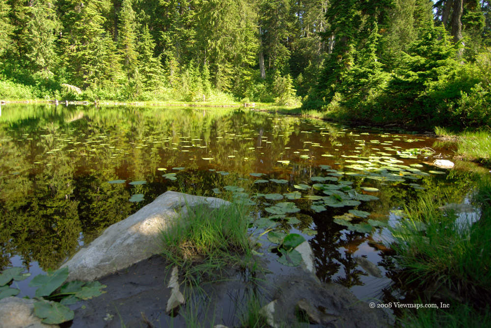
Jones/Waleach Lake

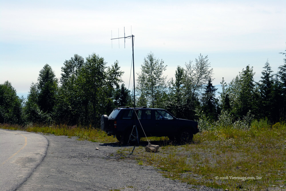
It was late in the season and I wasn't sure what conditions we would encounter up at the lake's elevation, so we were anticipating an adventure. We left the highway under overcast skies , it was also still dry. The early part of the access road was clear of snow but as we neared lake level we came upon the first snow. We had only a bit of slipping in the snow on the final steeper section but otherwise it was no problem. The snow was only 4 inches deep, but it got windy soon after we arrived and as the temperature was dropping it made it very cold. Being out taking photos was getting a bit uncomfortable, but I had wanted to be here for some time so a bit of discomfort would not stop me - though it did speed me up. The truck sure was very welcoming after 10 minutes in the blowing cold!

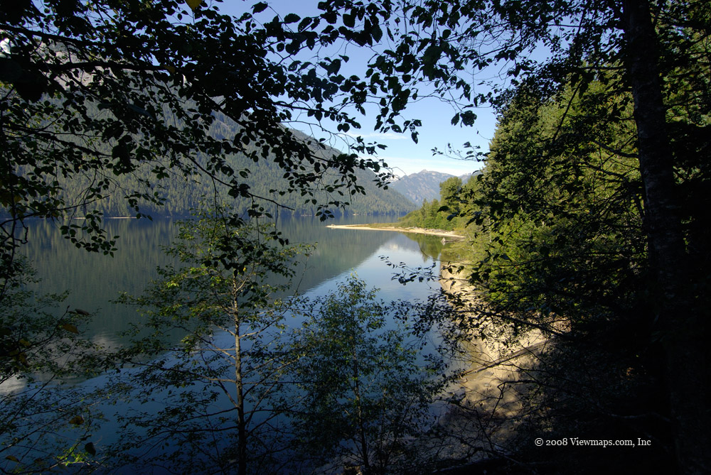
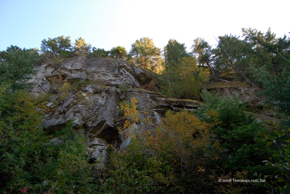
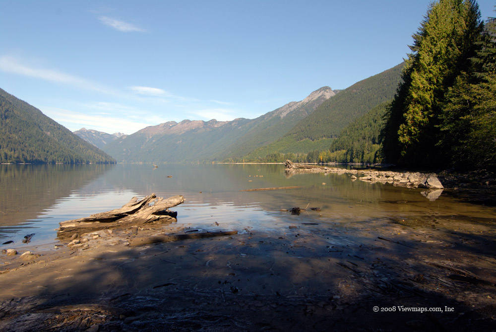
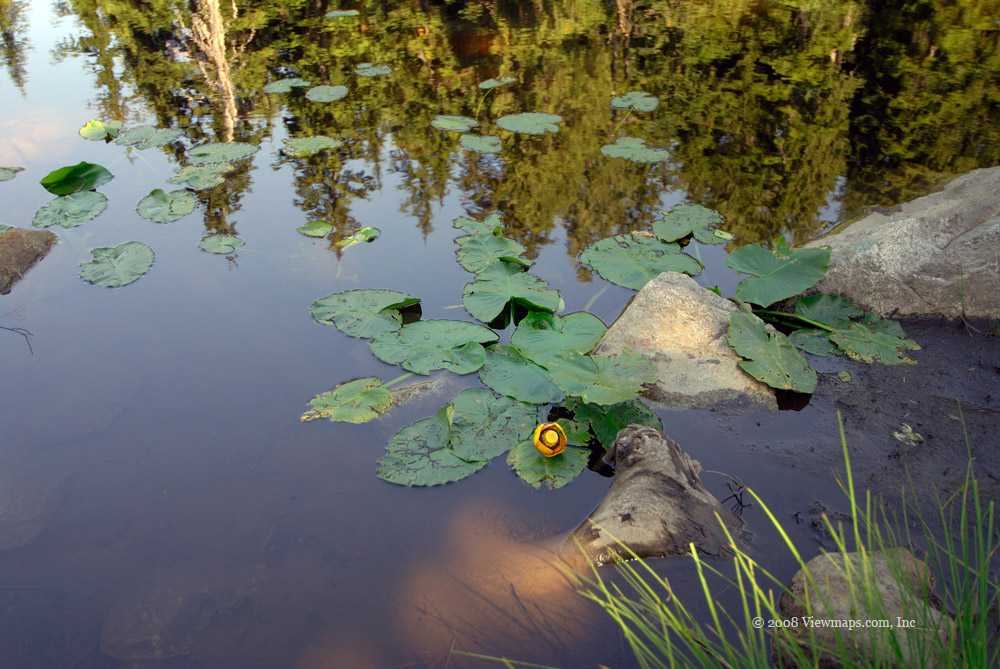
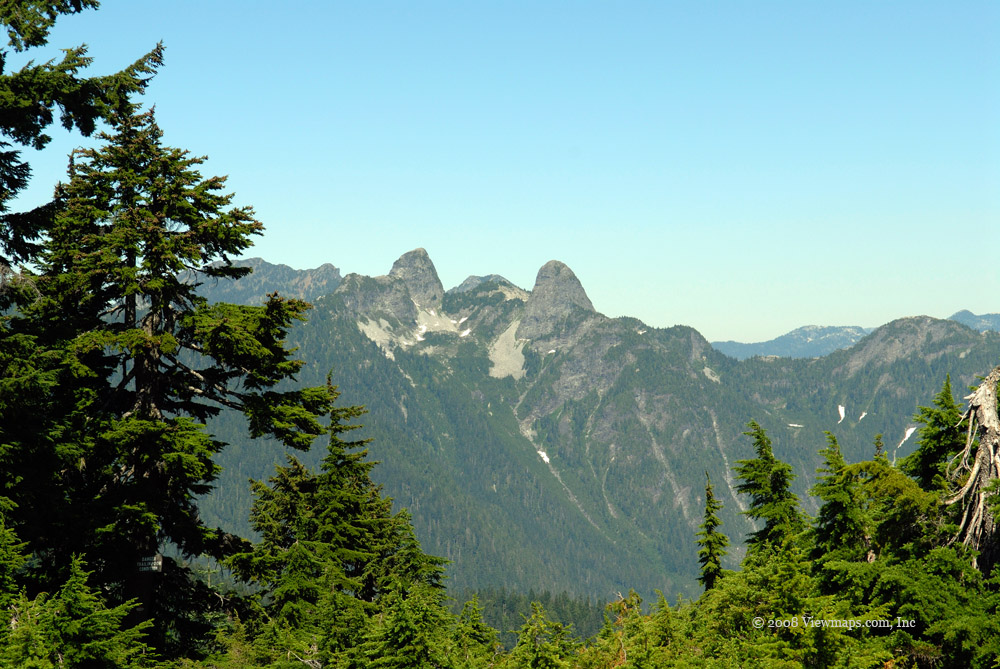
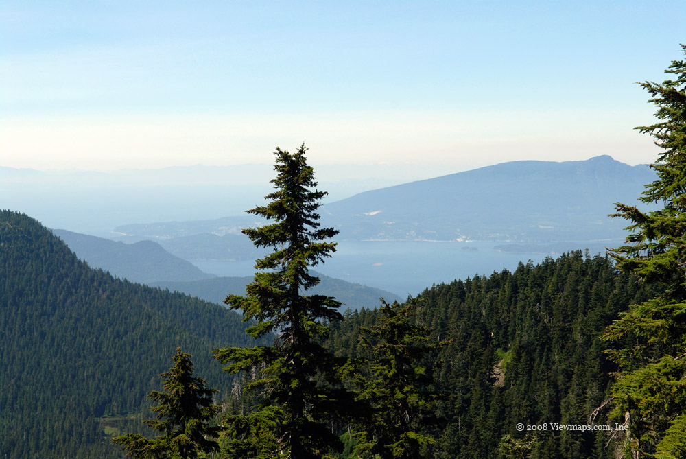
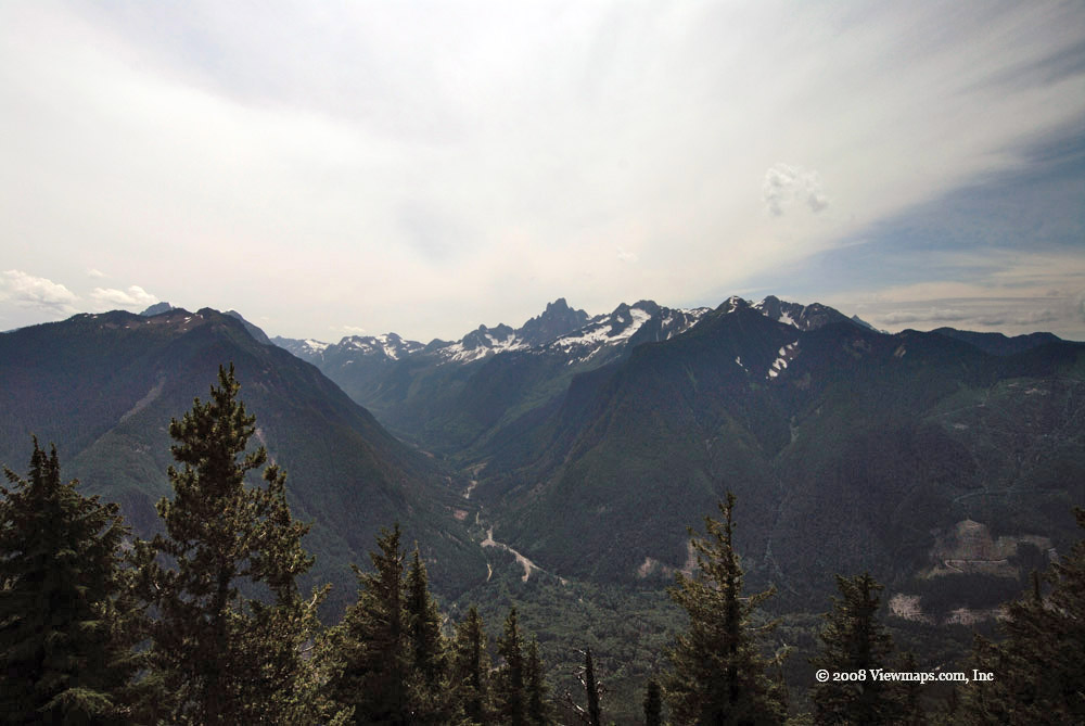
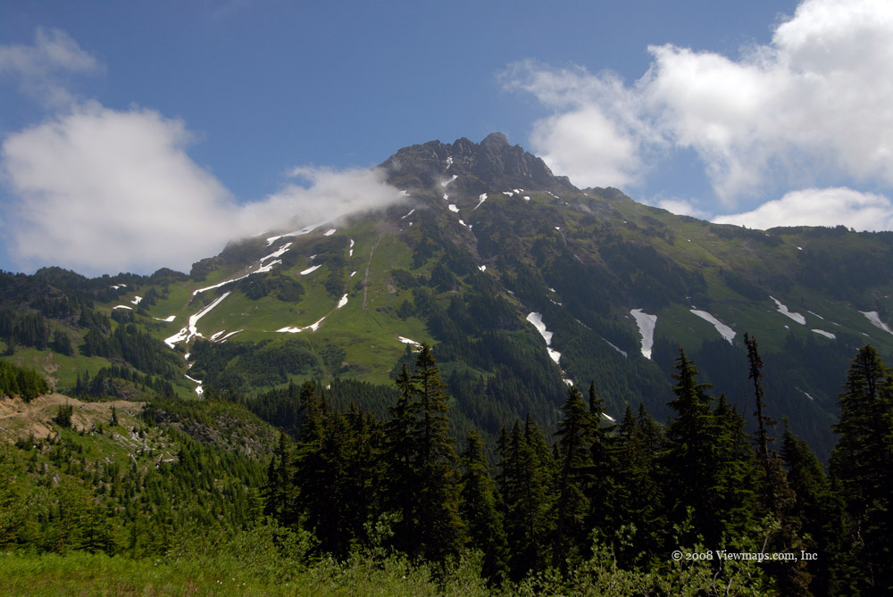
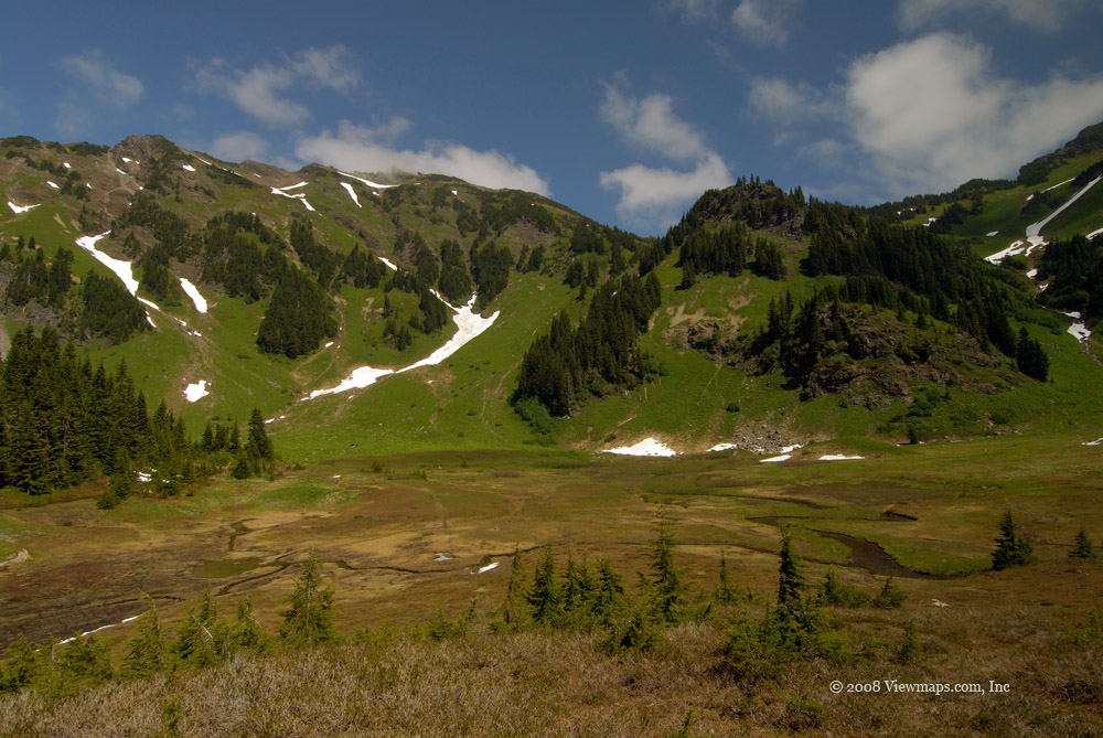
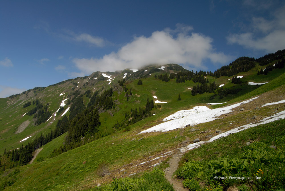
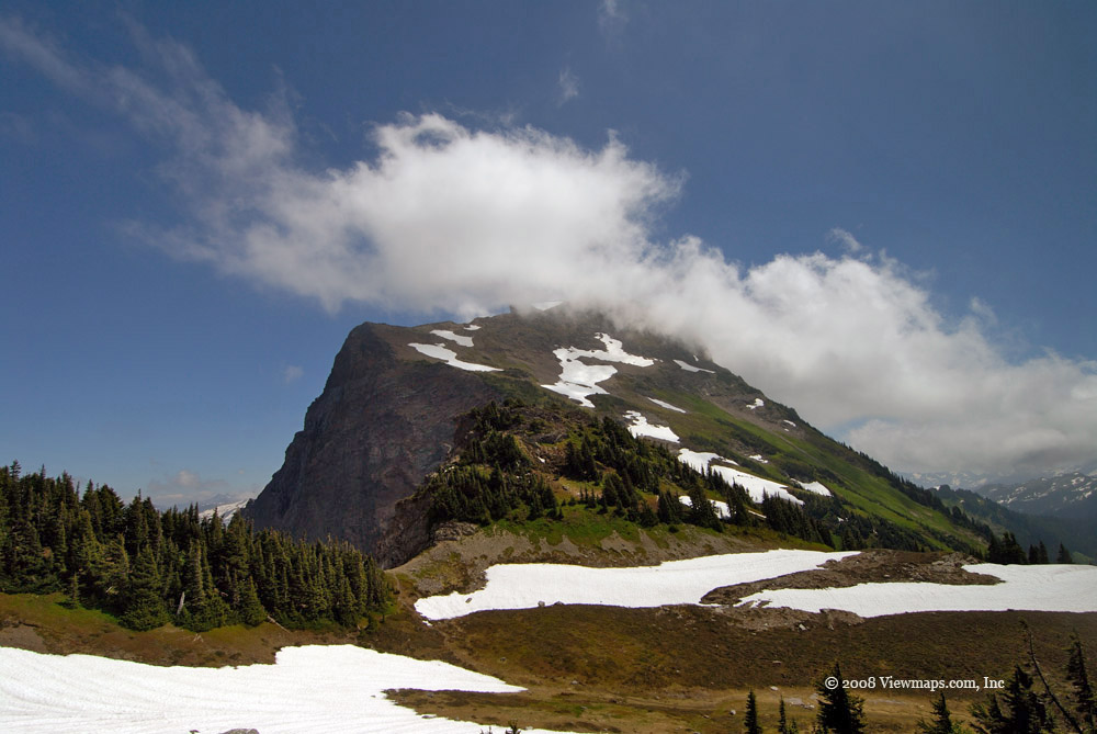
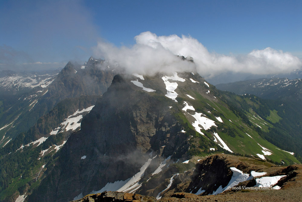
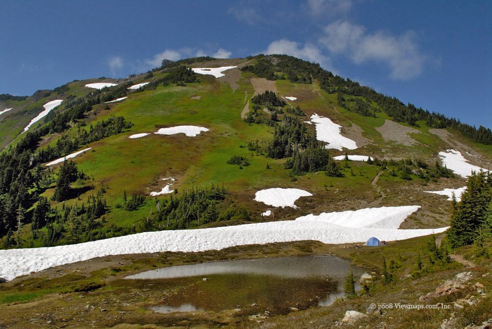
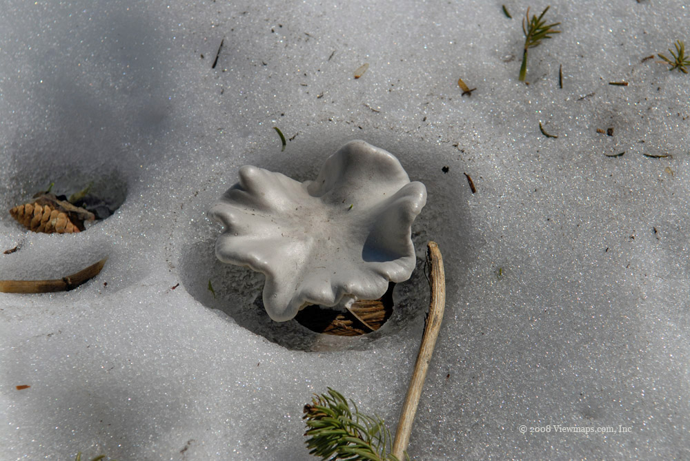
On my previous trip we explored the western campsite and walked along the dam that formed the lake. I also did some driving along a side spur but never made it to the east side development. So today's trip would start on the east side and explore that area first. The east beach was quite nice and fairly broad compared to the western. As the lake level was a bit down, the beach was broad and covered in several inches of snow. The view of the Cheam Range to the south was lovely even when partially obscured by cloud and blowing snow. As we were walking along the beach, the wind started up and cooled us off quite quickly. While there, another determined 4x4er drove by checking out the views. A bit later we had a chance to chat with them and learned that they were hams and got their license for back country safety much like the way I had started. I found an interesting stump on the beach which with its outline of snow and the cloud shrouded mountain behind it, made for a lovely image.

After enjoying the cold northwest beach we followed the road further south. We passed by a number of fairly extensive cabins just back from the beach, some where even occupied. So this area looks to be quite well used even this late in the season. We continued past the small community and came to an iced over puddle. It looked too tempting to leave, so Ethan had some fun driving through it. It gave me a chance to fire off the multi-shot feature of the camera. We worked our way up to the south end of the road where a washout stopped us. We were able to walk out to the lake at this point and get a few different views. There were a number of side roads that looked like good quad roads for me to try another day once the snow was gone. On our return we gave a second mud puddle a good workout.

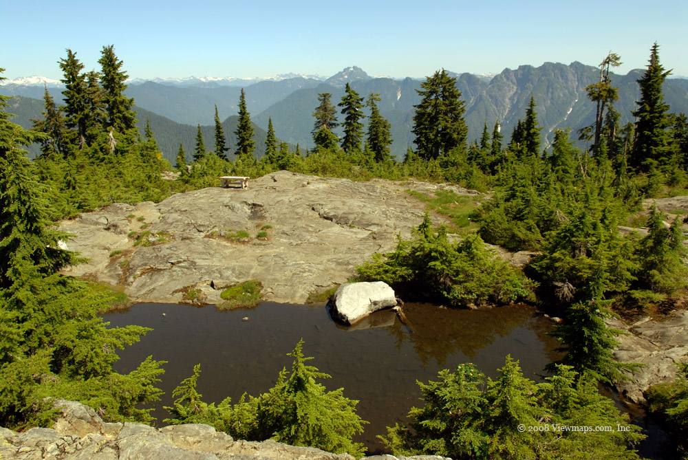
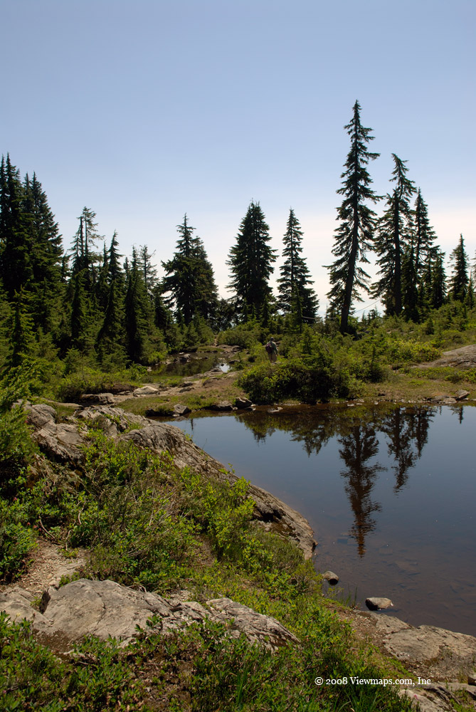
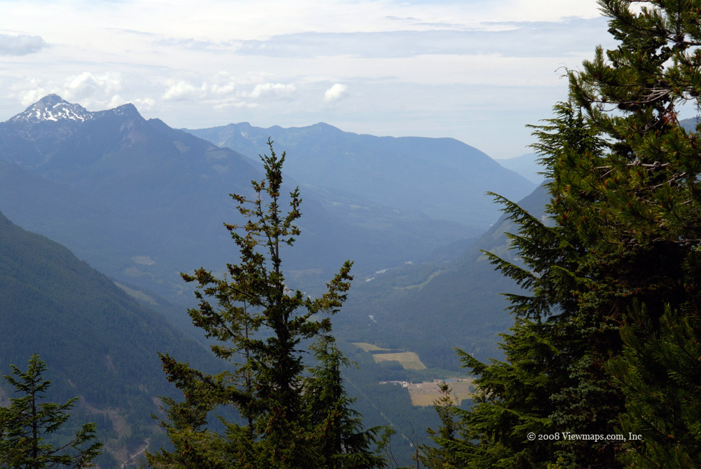
We then drove to the west side camping area and drove to the end of the public accessible road where we found a lonely snow covered picnic table. We got a few photos of it and the approaching snow storm. After a few donuts in the snow we drove to the dam area where we took a moment to eat a few bites and watch the sun peak through the clouds just before the snow hit us. It was too cold to venture out on the dam but I will be interested in another return trip to capture some more images of the Cheam Range. By now it was snowing on us and the chance for scenery shots seemed remote so we decided to head back down to the highway.

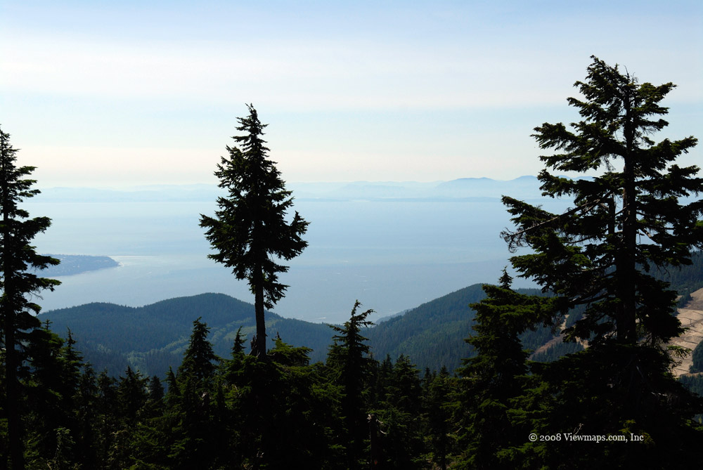
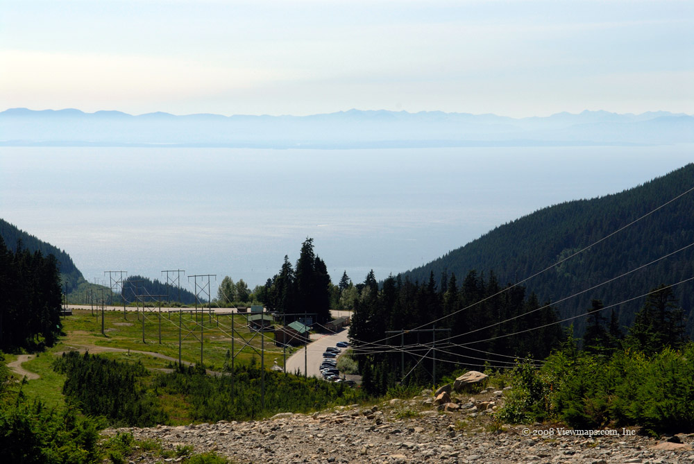
While driving back I saw an exit that had always interested me - Herrling Island - and today seemed like a good time to check it out. So we took the exit and drove along a road that was actually between the two double lanes of the freeway. It offered a lovely view of the Fraser Valley looking west. The road made its way down and under the highway but stopped at a closed road. It would seem that vehicle access to the island was no longer invited and foot traffic was all that was allowed. Well it was still a bit cool for a hike so we turned back to the highway. The tunnel under the highway offered us its own form of scenery - some rather graphic graffiti. Soon we back on the highway and on our way home. It was a good trip but rather cold. It reminded me of just how interesting these hills and valleys are in the region no matter what season of the year.

Chilliwack Ecological Reserve

The locked gate across the road is fairly far from the actual reserve, back by Depot Creek, and this annoyed me as it was keeping me from exploring the south end of the lake. I can understand why they placed the gate at the bridge, it was about the only place secure enough to keep motorized traffic out, but I still find it irritating. If people would respect the back country we wouldn’t need these restrictions! But today I decided to give it a go and hike the 2.5km along the road to the south end of the lake and then into the reserve.

Our first task was to set up the radio repeater. This was a bit of a challenge as the road turned a fair ways in along the creek before crossing and so we were wedged in a small narrow valley. We set up the radio but were not able to work into the main Sumas Mountain repeater but after raising the mast to 30 feet we did manage to reliably contact the UBC repeater. So once that was established and I had good contact with Carolyn at home we set off on the actual hike.

The initial walk along the road was graced with a few fall colours and some interesting fungus but the highlight was a pair of river otters scampering away down the road ahead of us. Ethan commented on how huge they were, obviously well fattened for the winter! We made our way along the road past some rock slides and finally to the beach at the south end of the lake. The level was low and the lake bottom mud was exposed and we walked out to the water edge on it. We did see a couple of people fishing off their row boats.

After a short visit to the lake we set off into the reserve. I wasn’t sure what to expect out here but it has looked interesting to me for years. The trail is marked with tape and the path obvious for most of the trail, but there were short sections where we were trying to locate it and did manage to wander off the trail for short distances a number of times. The trail is starting to get over-grown in places and blocked by wind-fall. I do think it would be worth keeping the trail cleared so hikers stomp on less of the sensitive areas. The most scenic items we came across were a variety of colourful mushrooms. The view of the various peaks and the river were generally obscured by the underbrush, so I had little opportunity to get good angles on them.

We made it to the border cut and crossed over to the North Cascades Park where we stopped for lunch. The trail continues south through the park and actually seems better maintained then the section in the reserve. After resting for awhile we called home on our radio and enjoyed a few chats with Carolyn and other club members. Then it was back the way we came, sort of. I didn’t want to stay too long as the trail was hard to follow in places and would be very difficult once the sun dropped below the ridge line. So our return went fairly quickly. Ethan started feeling a bit unwell and we stopped for a rest at a small beach area along the river about half way back through the reserve. While in the reserve we got to see some original growth Cedar trees which were huge. They really are quite impressive in their size, it is a shame there are so few of them still standing. We did lose the trail at one point on the return and ended up finding a different section then we used heading out but it did join up and we were soon back at the road for a final trek to the truck. Though the hike was fairly level it was long and did involve some searching for the markers and clamoring over logs with the end result making us quite exhausted by the time we got back to the truck. 

Once back we started the work of taking down the mast, but were interrupted by a couple of guys who were out fishing. They were quite interested in learning about the radio setup and we chatted for a few minutes. Then it was back up the road along the lake, we were too tired to stop for more photos even though I had planned to stop at a few spots we saw on the way in. It was a fun adventure and I do think I will be back. I would like to paddle the river a bit as it looked like it would offer some interesting sights.

Goldie and Flower Lakes

My previous trip to these small lakes just below the top parking area on Mount Seymour yielded some very good photos. But on that trip we took a wrong turn and ended up missing Flower Lake and on a much longer hike which quite exhausted us. So I was looking forward to coming again and finding the second lake to see what it had to offer. Our visit today proved to be just as scenic and interesting as before and with the cooler temperature, it was an easier time out there.

On our drive up we were a bit concerned about the weather as the heavy clouds looked like they may just provide us a water offering, but we kept going and hoped for the best. On my prior trips into North Vancouver I noticed a series of humorous road signs warning of areas where deer cross the road. They have funny sayings and outlines of various non-deer animal pictures on them. I guess they are effective in bringing attention to the situation.

When we arrived at the parking area the clouds were still keeping their water so we felt it safe enough to head on out to the Goldie Lake group. The trail seemed to go much faster in the cooler air and we soon were in amongst the small streams and foot bridges. Ethan found an abandoned long marker pole that he carried with him during the hike. We soon arrived at the first of the small lakes and I was able to get started on some serious picture taking. After a brief stop we carried on to Goldie itself.

Goldie was quite full and spreading out well into the grasses above the normal level. Last time here the lake level was fairly low, so this was quite a contrast. The lake surface was quite still and offered many lovely reflections. I have always enjoyed photographing reflections and today’s hike certainly provided me with much variety. At different points the clouds moved in and added some lovely mist textures to the trees and mountain slopes. The constant motion of the clouds kept changing the scenes faster than I could compose them for the camera!

This trip we found the correct trail to Flower Lake and as we made our way to it we crossed through a number of other little lakes and marsh areas. The small lakes leading up to Flower I found more interesting then Flower itself. It was a fun new area to explore with a number of scenic spots. After Flower we set on back up the trail to the parking area. After resting a bit we drove to the slightly lower lot and parked to check out an area where I found a number of mushrooms the last time I hiked Goldie. When we arrived at the place with the biggest mushrooms I found only a few this year but instead I met a Ham friend who was up with a group working on the local repeater. It was good seeing him. His group was here doing their annual clean-up and family picnic. 

Once done with the mushrooms, we drove down had a bite to eat at a lovely Sushi restraint at the base of the hill. Then we went over to Indian Arm to check out an area that is north of Deep Cove. It was a pretty section but the houses were crowding the shore and this blocked much opportunity of seeing the sights. Then it was on home and past the funny deer crossing signs.

Ethan and I enjoyed chatting with friends back home with our radios. Today’s hike didn’t need my cross-band repeater setup at the truck as we were very close to the Mt. Seymour repeater facility and the hand-held’s had no trouble reaching the repeater tower the short distance up the slope. It was a nice hike and we found many new angles to capture. It will be an area I return to many times.

Greendrop Lake, Finally

I have hiked to Liumchen Lake twice before and tried to get to Greendrop on the second of those trips, but so far I hadn’t seen Greendrop. So it has been on my to-do list for some time and I definitely was going to get there today. I also obtained a new antenna for my back country communications and this was an excellent site to test it out. So as this was a longer hike, we set out quite early and arrived at the trail head by 9AM – not super early but it was good enough for this hike.

Our first task was to set up the new antenna and configure it for use. That took a bit longer than expected as it was our first attempt with this configuration. Today was also Ethan’s first trip as a licensed amateur radio operator, so he was having fun trying out various things with his hand held. Finally it was up and we were on our way. Today, Edwin joined us for the hike so there were three of hiking to the lakes. I quite enjoy having both of them along for company on the longer hikes.

The first part of the hike is the steepest section as it passes through lush green forest and parallels Post Creek on the way to Lindeman. The trail is well marked and maintained which makes it easy to follow, but does require concentration when scrambling over roots and rocks. The first part is also a popular hike and we encountered several groups along the trail. In a half hour we arrived at the start of Lindeman Lake and came across one group that had been camping beside the lake. It was still mostly overcast when we first arrived at the lake with the clouds hanging low on the slopes over the lake making for a lovely setting. Ed was having fun getting out on the logs to get some unique photos.

We made our way along the lake and reached the far end in another 45 minutes. I stopped many times gathering photos along the way. The trees were well into their fall colours and I was quite impressed with the deeper reds that were sprinkled throughout the trail. I kept hoping to see the castellated peaks that tower above the lake, but the clouds kept them obscured and I will need to make another visit to photograph them. Once past Lindeman, our trail made its way up the slope above the creek and brought us across several wide sections of rock covered sections that got quite tiring after a while.

The trail offered a wide variety of things to photograph, which is one of the reasons I love coming into the back country. The grand vistas and colours are spectacular this time of year but so are the many small clumps of mushrooms one almost steps on as we hike along. It is hard keeping focused on both the macro and micro worlds so as to not miss too much. It took us about 90 minutes of hiking once past Lindeman to reach Greendrop. The last third of this section was a nice easy trail at creek level through a dense forested area. Then we arrived at Greendrop, unloaded our gear, ate our lunch and had a nice rest before heading back.

I didn’t find Greendrop to be as scenic as Lindeman but then I only saw it from the one end and perhaps I will come again and hike the trail that continues along the lake and on to the Silver-Skagit region. There are a number of clearings out here for back-country camping which seem quite inviting. While eating lunch we did more radio testing and found our setup to be working very well. Our handhelds reached the truck with a solid signal despite the heavy forestation and being at the far end of a dog-leg shaped valley. Ethan was able to chat with fellow Hams in White Rock So we confirmed that we had a solid communication channel with home and any needed emergency services along the entire hike – better than I was expecting!

We started off on our return and quickly made our way through the forested section and then up the slope to traverse the first of the many scrambles over the rocky sections. I was quickly becoming very tired of climbing over rocks and by the end of the hike I had definitely had more than my fill of rocks. We stopped along the return hike to gather photos of the things we missed on the way out, and finally arrived back at the truck at 3:20PM. So the hike took a bit over 6 hours and was a lot of fun but definitely tiring for me. 

I sure was glad to get another chance to reach Greendrop and very satisfied to have made it to our goal. The scenery was lovely as always, even with the mostly overcast weather that was threatening rain. A few miles down the road, as we headed home, we encountered the first of the showers that people back home had been enjoying all day. So we got back just in time to avoid getting wet! The new radio antenna was a vast improvement over the 2m Yagi I was using earlier and will serve us well in future trips.

Dog Mountain

We set off under overcast skies with the promise of clearing as the day progressed. So I was hopeful that we would get some good views of Vancouver and the valley from the overlook on Dog Mountain. We arrived early in the Mt. Seymour parking lot and there were only a few cars there at the time, this allowed us to get a spot near to the trail head for our easy hike to Dog. As we were within a few hundred meters of the BCFMCA repeater tower, I didn’t bother with my cross-band radio system and opted to use that repeater directly.

We set off on the trail; the first few hundred yards were well groomed and maintained, this was far too civilized for my wants. But soon we were past the ‘nice’ section and onto a well traveled but not over done trail. As it had been raining earlier in the week, the path was quite muddy in many places which made things slippery. We traveled past some very rich areas of moss covered trees and rocks and despite the gray skies the strong greens were quite spectacular.

Soon we arrived at ‘First Lake’, a small pond in a lovely small alpine meadow setting. The recent rains had filled the pond fairly full and it looked quite lovely with the trees reflecting on its still surface. Though fairly small, the pond provides ample angles for finding attractive photo settings. The trail had some serious improvements around the lake to carry foot traffic over the muddy areas, though convenient it does tend to distract from the natural beauty of the region.

After a short rest at First Lake we set off for the Dog Mountain view point. Though the trail is marked easy with minimal elevation gain I found it deceptively tiring. This may have been in part to some mild bug I seem to have been fighting at the time. But the trail did tend to have a lot of ups and down and many places where one was scrambling over webs of roots making it difficult to get a sure footing. So while one didn’t have a work out from hill climbing the actual trail was quite a workout in its own right.

We finally got to the viewpoint destination on Dog Mountain. It was a nice rocky out crop with what I believe would be a fantastic view of Vancouver and the Fraser Valley. Unfortunately though the sky was clearing, the view down to the valley was still obscured by heavy clouds which were moving but by the time we left still blocking the view. There were a number of groups out here this morning – some small family groups and some big tour groups! It does seem to be a popular destination.

Ethan and I ate some of our lunch snacks on the rocks while we waited and hoped for a clearing. Meanwhile, Ethan had fun with the large Ravens that made a home up here. They were quite adept at snatching cheezies in mid-air. Throughout the hike I carried on a number of radio chats with club members back at home – not a surprise considering the location. After a nice visit at the view point we started back and stopped to admire a few sights we zipped past on the way up. By the time we got back to the car the trail had zapped us both of energy, much more then it should have so we definitely seemed to be struggling with a mild bug of some kind. After getting down off Seymour and well on the way home the skies finally cleared fully and I’m sure that those still on the mountain were delighted with those awesome sights that I will need to return to see.

Gold Creek Falls

Golden Ears Park was another one of those local areas I have often talked about but never visited. So it didn’t take much convincing to decide on this hike along Gold Creek to see the Lower Falls. The drive to Maple Ridge and then up to the park entrance went quite quickly, the final leg through a residential neighbourhood I found quite scenic. This area looked like a nice suburban area to live with the large lots and heavily treed surroundings.

I found the drive along the main road once in the park a bit odd. It feels like driving down a long tunnel as the roadway is lined with a thick corridor of tall trees. It really looks somewhat artificial and over maintained but I guess it helps make the place feel more like you’re in the back country. After a bit of a drive we reached the end of the road after crossing over Gold Creek. The lot was mostly empty when we arrived and I selected and end spot for extra room to set up the repeater. The setup went quite quickly today and I was able to work the Sumas Mountain repeater the best, so that was what we used for the hike.

We set out for the trail and encountered quite a number of groups and families walking the well maintained trail to the falls. It is a very popular hike and hence lacks the wilderness feel, but the deep greens still make it worth while for enjoying a glimpse of a rain forest. The initial walk presented lovely views of heavily moss covered trees and rocks and a few clumps of mushrooms. Soon we could hear the roar of the creek and after a dip in the trail we came to the first access point to the creek. The trail paralleled the creek from this point up to the viewpoint of the falls.

I tried the radio a number of times along the trail and as we hiked deeper the connection to the repeater became quite spotty. It was not achieving the penetration I was hoping for, so this was a good test of the current equipment’s capability. Once at the falls I was able to move to a point that I could work the repeater reliably, but it was only with careful positioning.

I had thought the falls were going to be a taller drop but it was still quite pretty and with the volume of water it made for a full curtain and of water as it dropped. The volume of water does kick up a large amount of mist and it made the viewing platform and its visitors quite wet. After a short stay on the platform we made our way up to the top of the falls where we were able to get down on the actual rocks of the creek bed. The pool just above the fall was a deep emerald green colour and contained in a circular wall of rock which almost looked too perfect to be natural.

Watching the water race over the large rocks just before the edge was quite amazing, though shallow, the flow was quite fast and I am sure would knock one off their feet quite quickly should someone try walking across. That would undoubtly lead to them falling over as there isn’t much to hang onto if you were being pushed by the water. We stopped for lunch on the rocks and watched the flow while we listened to the roar of the water. As we ate, the sky cleared a bit more and was giving us a nice play of light on the water and rocks for the rest of our stay. The only negative was the growing number of people who were also enjoying the view but getting in the way of the photos.

The walk back went quite quickly though I did stop for a few further shots. The views of the mountains across the creek looked much nicer on our return as the day had brightened which gave more vibrant colours. Once back to the truck we started to take down the antenna and had a couple of people come by to ask about the setup.

We then drove down to the day use area and parked again. It sure is one huge parking area. They must have quite large numbers of people here in the summer; even today there were a fair number of families cooking their lunches in the picnic area next to the lake. It is a lovely setting and needs a return visit when there are fewer bodies getting in the way of the camera. The beach further up the lake where the over-night campers are looked less crowded and would likely be a better place to take photos, but we were both tired and needed to be heading back. I was definitely glad I finally came to see what this park has going for it. There are many more adventures here to explore including a visit to a higher set of falls on the creek. The only real negative of the place is that so many others have found it and enjoy the place which leads to a bit of crowding. I guess I have gotten use to more secluded spots!

Hollyburn Workout

As a small child I lived on the lower slopes of Hollyburn Mountain. Over the years I have driven past Cypress Bowl countless times on my way to other adventures, never giving it more then a passing thought and so it went for 50 years! It seems that we often miss the things right in front of us, and so it was with Hollyburn Mountain. In driving past the entrance to the park I would regularly comment that one day I will need to see what was up there. Well that day finally came – though it ended up being a challenging day to visit. Being mid-summer it just so happened that today quickly became one of the hottest of the season – not the best hiking weather!

The drive to the park and parking area went without incident as 95% of the drive was my normal route to so many of my regular points of interest. Things got a bit confusing when we reached to top as our hiking book didn’t make it clear where we were to park and start the hike. So this left us a bit uncertain. Once parked our next task was to setup the cross-band repeater for some further testing. This caused me some severe grief as we were not able to make a good connection to the White Rock Repeater through the setup. In reviewing the equipment later, I discovered that the coax had a defective end which was causing serious signal loss. As this was a longer hike then Ford Mountain I was hoping it would confirm if the 2m Yagi would work well enough for 440Mhz.

So once the radio was operational we set out up the trails. It took us a little while and one wrong turn to get properly synced between the guide book and the actual trail. But once that was figured out the rest of the hike went without confusion. We climbed along the power lines to the first of the lakes – fourth Lake! And then up the Baden-Powell trail towards the peak. We hiked past a number of ponds along the way and a fair amount of muddy areas as we made our way up the trail to where our hike left the Baden-Powell. By this time the day was getting quite hot and the heat was giving us more of a work out than the actual hike.

We continued up the slope, through some forested areas and then along the edge of a group of small alpine ponds. The Hollyburn area has a large number of small ponds from the parking area all the way up to the peak itself. Of the peaks I have climbed none come close to having the number that grace the slope of Hollyburn. We continued our way up the trail taking many rests due the growing heat. Finally at the top we took a break for lunch though in the heat we weren’t all that hungry. Ethan found a shaded branch of an old tree to lay down in and caught a short nap in the heat.

During the hike I was trying the handheld radio but the initial problems we had setting it up seemed to follow us and we had only spotty access to the truck. I was not able to confirm whether the main problem was the poor performance of the Yagi on the 440 band or whether it was just it not having a good path to the White Rock Repeater. But this did raise some serious concerns about how effective the setup is.

Once we had rested on the peak, we set off back down to the truck. We made good time compared to the way up even though by now the temperatures were in the 30’s. I was glad we had some extra fluids along though I saw several others doing the hike with only very small quantities of water. When we finally reached the power line trail we were in full sun and getting very heated as we made our way the final kilometer in that exposed area. 

Once we got to the car we quickly set about breaking down the antenna radio equipment so that we could get moving. When I grabbed the actual radio I burned by fingers as it had been in the sun and was extremely hot! I am sure that that was not very healthy for the radio, but it seems to have survived the oven. We finished packing up and quickly made our way down the hill, as we were quite wiped and over heated we skipped past the view points I had spotted on the way up. We will just need to come again to explore them. We were in desperate need of a drink and something cool and so we found a small convenience store and picked up some cold drinks. That got us feeling better and the drive home went easily from that point on.

It was definitely worth the time exploring Hollyburn after all those years. I do think I need to revisit it on a cooler day and also explore the other trails along the ridge and the other peaks in that area.

Ford Mountain

Ifirst explored the FSR on Ford Mountain back in 2003. Back then we drove up to the furthest passable point on the road and found ourselves deep in the heart of a moss encrusted grove of trees. There were a couple other cars parked near us in what was a small widening of the road – ideal for a few vehicles while their owners hiked further up the slope. We did get out and wandered around the immediate area and were amazed at the deep carpet of moss, the rich greens produced a powerful sensation of awe in us. I noticed a trail leading up the slope and decided then that I would one day return and hike it.

Well today – July 26, 2008 was the day I returned and hiked the trail to the Peak of Ford Mountain. The last part of the road had deteriorated and it was no longer an easy drive up to the same small parking area I encountered 5 years earlier. The actual widening at the end of the road was much as it was but the road leading there was badly washed out in places. It was exciting getting back here and as I now had my new Yaesu radio which I bought to use as a cross-band repeater, my first task was to set up the radio and antenna so that my hand-held radio would be able to reach Carolyn at home while we walked the trail. I have always been concerned about safety and having reliable communication should the need arise. In the back country the mountains and forest will generally make a hand-held usable only in open areas and on peaks with only spotty if any coverage along the way. I was hopeful that the repeater would enable me to have continuous coverage for the whole hike. So today’s hike was as much an adventure as it was a test of the repeater concept.

So I set up the portable mast and pointed the antenna west and then went to plug the radio into the battery only to discover it wouldn’t work! I didn’t have time to scramble so I switched power to use the power for the commercial radio bolted to the Pathfinder. Soon I was communicating with home and so off we went. I tested the link constantly as we made our way up the trail - to the ridge and peak. I did have good signal strength the entire way and was quite pleased with the setup though still uncertain about using a 2m yagi for VHF & UHF. It did work over this short distance but would it on a longer hike.

The hike itself was steep at the start of the trail but soon leveled off and the balance was a more gradual climb. The views were intermittent and partially obscured due to the thick forest we were working our way through. When we did finally reach the top, 45 minutes later, we had a lovely view of Mount Slesse to the south but the Cheam range to the north was partially blocked by the trees. We had lunch when we arrived at the top after which I wandered around a bit and was able to capture some lovely wild flowers growing just below the peak. I was fascinated by the bees busy moving from flower to flower.

From the peak the trail continues east along the ridge to a further peak – Williams Peak - several kilometers away. That is a much longer and generally an overnight adventure. So we started our way back and soon came upon a young couple making their way up. He was going strong but she was quite tired and not at all certain this was her thing. I did mention that they were almost there. As we drove off the FSR later we found their car near the start of the FSR! They had a very much longer hike then us and it was not surprising they were so tired. They did introduce me to a neat book on local hikes which I think I will buy so I can plan out more hikes.

The walk down went quickly and we soon came upon a second group. The radio worked well, and once to the vehicle we were able to pack it all up quite quickly and get on the road back down. I definitely proved the viability of the repeater concept but as to whether the antenna will work as needed is still to be determined. I hope to return here again and try the longer hike to Williams Peak - that should yield more opportunities for photographing the various mountains.

Return to Mount Cheam

The hike up Cheam has always been a pleasant experience. The sights are great and the fresh air and sounds add to the exquisite grandeur of the place. Today’s trip was long anticipated but quite uncertain as to its execution. I had been struggling with a strained back with some very painful cramping in my back muscles the last two weeks. Earlier in the week I could barely walk, but after some massage therapy on Thursday I was feeling better. This morning I was dubious, should I do an easier shorter hike or try for the Summit of Cheam? Well determination got the best of me and as I was feeling better I decided to try Cheam, so off we went. 

The drive to the parking area started off quite normal with little pain to my back. But when we arrived at the logging road and bumped over the first set of potholes my spasms were set off and I was right back to where I was days earlier. Each set of potholes added to the pain and I could barely move. Ethan had to just inch over them to stop it from jarring me. We were going over them so slow it was embarrassing! I was thinking back to my less than kind thoughts towards other drivers who would barely crawl over the rough road and here we were moving no faster! We finally arrived at the parking area and it was time to get out. I wasn’t at all sure I could get out and stand up let along hike.

I gingerly pushed myself out and slowly stood up. I felt not too bad if I didn’t bend and so decided I would try to at least get to the open meadow at the end of the road. So we got our gear organized and set off on the hike. As we made our way along, my back started to ease up and before long I was feeling quite decent. Upon reaching the meadow I felt good enough to keep going and so up we went, knowing full well that we may need to turn back at any point. We soon came to tiny Spoon Lake and found it a disgusting mess. An avalanche earlier in the season and covered it in mud and ice and it looked quite bad. I sure hope it recovers once the ice melts and the mud settles to the bottom. One could see debris all over the area. In the snow free areas the wild flowers were doing their part in hiding the mess.

We encountered the most snow of all my earlier trips up Cheam on today’s adventure, it was a bit earlier in the season then when we have gone previously. But it wasn’t too deep or hard to travel over. I was feeling better as we hiked along and in fact was making very good time on the way up – the fastest of my trips to date!. There were several other groups on the trail today but not as many as I have seen later in the season. The day wasn’t too hot and there was a mild breeze to cool us on the way up. But as we neared the summit the wind greatly picked up and it was actually quite windy and cold at the summit.

Ethan and I ate our lunch at the top and once well chilled, we were about to head down when I was intrigued by a couple who had settled down a short ways past the summit. I decided to walk out towards them to get a view of the summit from a different angle and as I dipped below the peak the wind was gone. This little area was quiet and warm. It was actually quite amazing! I stayed for a while longer and got a number of new angles. Then it was back into the wind and the journey back down. I found the downward hike a bit harder on my back but I still made good time. By the time we reached the Pathfinder my back was actually feeling not bad. The return drive over the potholes saw little discomfort – at least over the normal amount - and I was hopeful that the hike had cured my pains. Alas by the time we arrived home, the long drive had undone much of the good work of the hike and I was quite stiff and sore again. 

It was well worth the time taken to hike Cheam one more time, this being my fourth time to the summit of Cheam plus one more to Lady Peak. I will return, next time perhaps for Lady Peak.

Airplane Creek Re-visited

Today was my second attempt to reach the ridge-line that connects Mt. Laughington with Lady Peak. It is an off trail hike but by the maps should be less than a kilometer in distance though a bit of a climb. I was hoping to reach the ridge so I could view the Chipmunk creek FSR on the other side. In my travels to Cheam along the Chipmunk FSR I had been intrigued with the possibility of reaching that ridge. The planned access looked fairly easy should things go as planned.

Unfortunately things did not go as planned. My two sons and I were making good distance along the Airplane FSR but came to a series of washouts that were increasing in difficulty. We finally reached one that seemed a bit too much for us. Perhaps if we had a winch we could of tried it or if we were on quads. But we had neither and so the best approach was to park and walk the remainder of the road then head up to the ridge. So we set off at a good clip. Soon the heat of the day was taking its toll and by the time we reached the end of the road – the start of the hike – we were already getting tired, having hiked 2.75km. But as we were here and the ridge looked so close, I decided to break for lunch and after a rest we set off up the slope to the ridge.

On the way up we crossed over a steep gravelly slope and made our way across a small stream. The area became quite soft and marshy until we crossed to the north side of the stream and climbed up out of its small valley. Soon we encountered large patches of snow which made hiking difficult on the steep slope. But walking on the snow was preferable to the soft marshy soil the ice melt fed below each snow patch. The hike was difficult and I needed to hang on to a lot of ground cover to keep from falling over and rolling down the slope which I am sure would have been for some distance.

I had my GPS unit but the cable connecting it to the computer was broken and as such I wasn’t able to determine just how much further a climb there was to the ridge line. Since we were getting quite worn out and the day was getting past prime, I decided to cut our losses and take a rest before heading back down. In reviewing the hike on the map later I learned that the ridge was only 200 meters further up, we had covered around two thirds of the distance from the road. 

The hike back down to the road went very quickly as we were able to slide down the snow patches and make very good time. When I got back to the marshy ground by the small stream I took time to photograph a number of the wild flowers growing along the stream. Then it was back up the other side and down to the road. In the end our off road portion of the hike took and hour and a half, not too long but it would be another hour before we got to the pathfinder!

So even though I didn’t reach the ridge, we did have a good hike and it was fun spending time with two of my boys – Ed and Ethan. It does look quite achievable but I will try it again after I get a quad and can drive to the end of the FSR before I start the climb. Getting the GPS communication cable fixed so I can plot the route in advance would also be a useful task.

Subscribe to 2008