
Dewdney Peak in the Sun

I was looking for an easy hike for the day, one I could do solo without much exposure to potential problems. Dewdney came to mind early in the process and I got my gear organized for the drive to the summit ridge and the final push on foot. I got the truck ready along with my pack and set off for the Norrish Forestry Road. The drive went quickly and I was soon in sight of the start of the logging road but I got stopped by road construction! Now that seemed very strange way out here but here it was and I was stopped waiting for the flagger to let me on through.

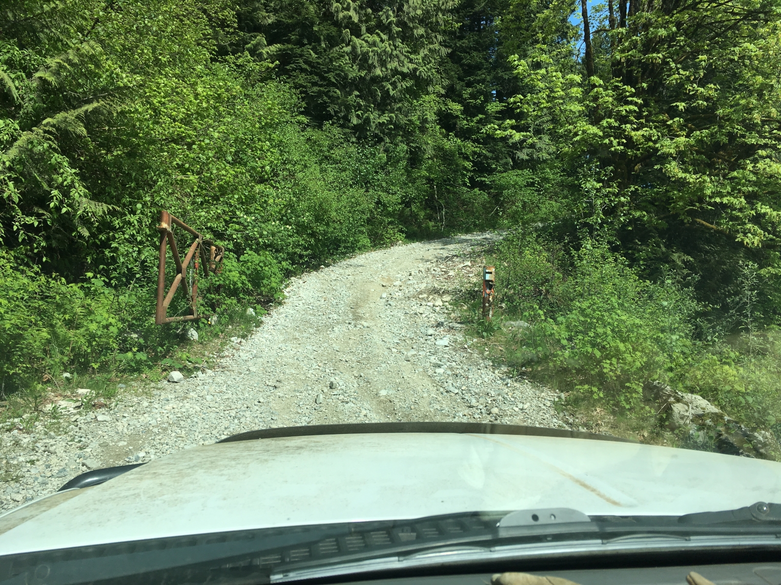
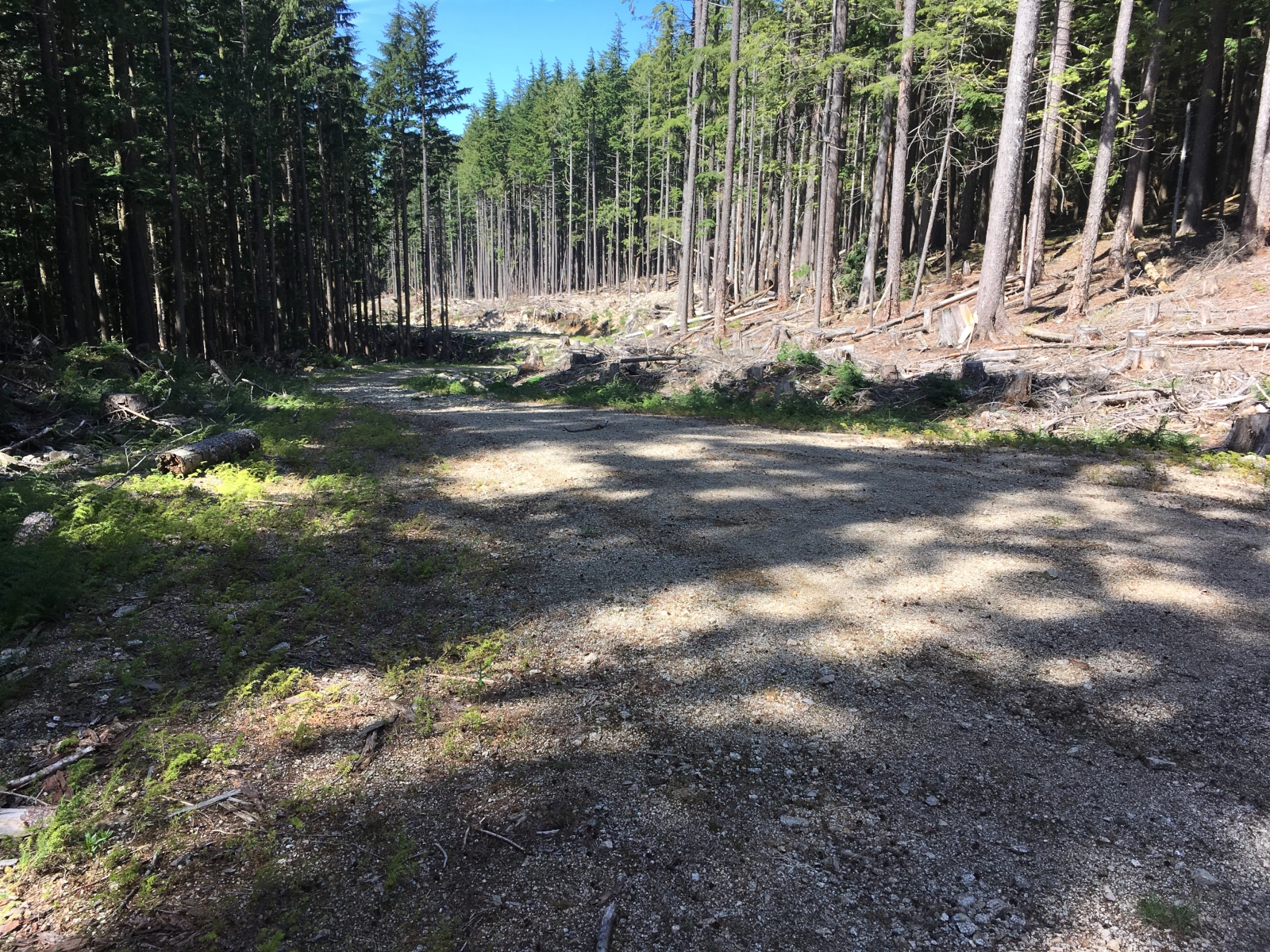
Once past the paving project the FSR started and I got the truck switched into 4x4 mode and started up the mainline. Soon I reached the entrance to the Dewdney branch, today the gate that was closed last time was wide open and I just sailed on past. The initial road is quite steep and rough but it proved no challenge for the truck. As I headed up the old road, it looked more and more like I would have it to myself. Following the map of my previous drive kept me from following the wrong spurs at a couple of points which kept the drive time down. I did start up the wrong branch at one point but backed out after 200m thanks to the map track.

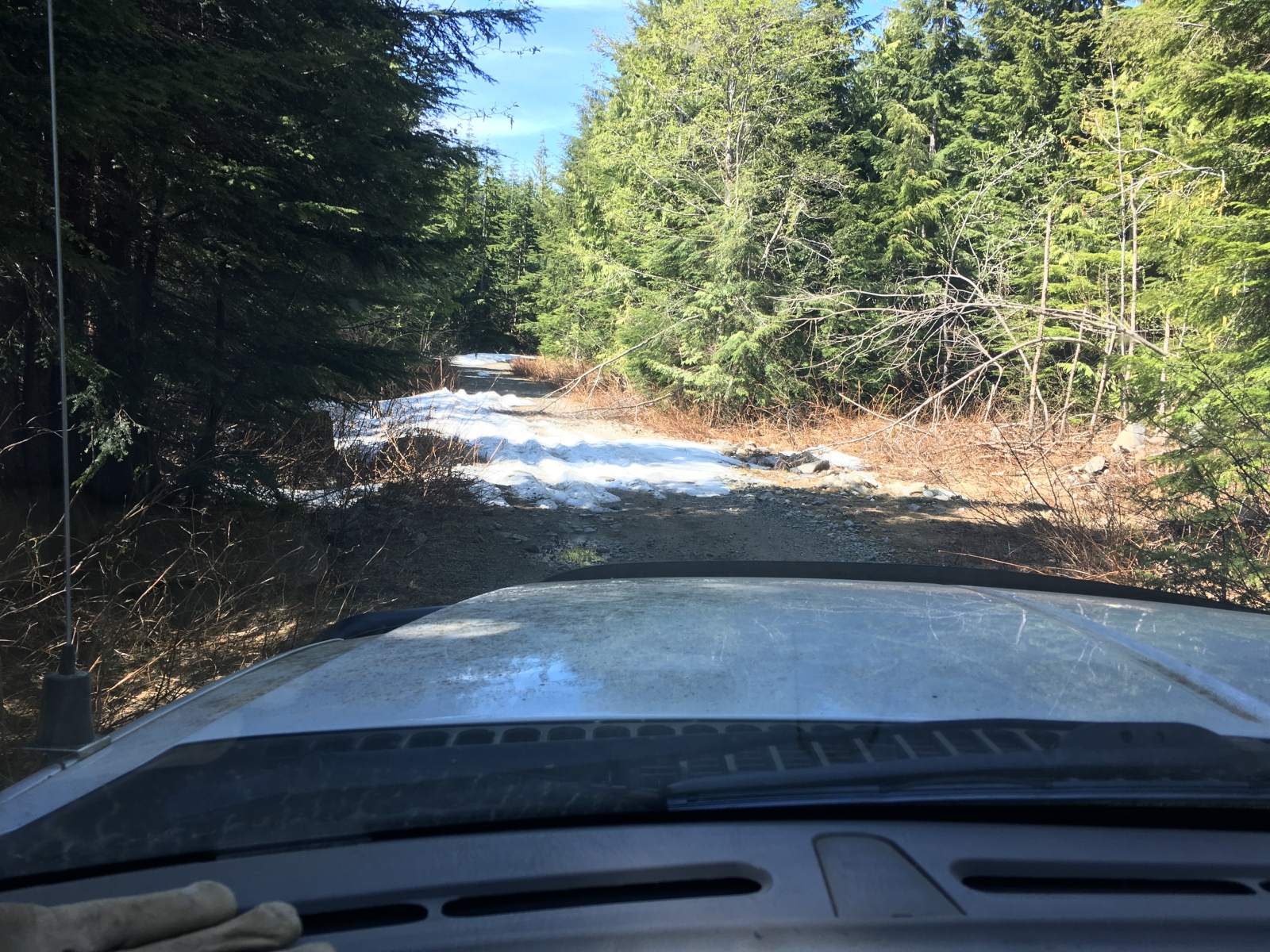
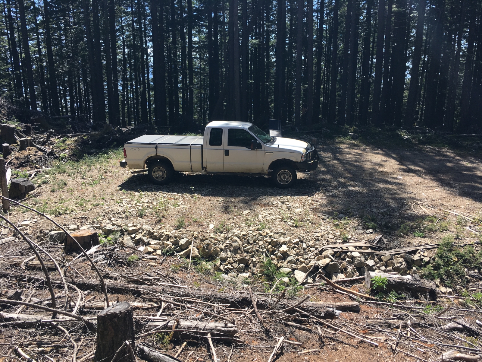
There was a bit of snow in places on the road along the top ridge but nothing to slow the truck down. As I approached the spur where we parked last time I was stopped by a tree, the other spur looked just as nice and so I drove to its end and parked. The location however was in the sun and though early it was already getting fairly warm. I took my time getting ready and loaded up with the backpack. By now I had learned that I had forgotten my DSLR at home so today’s photos would rely on my iPhone. Not as good but it should still document the day fine.

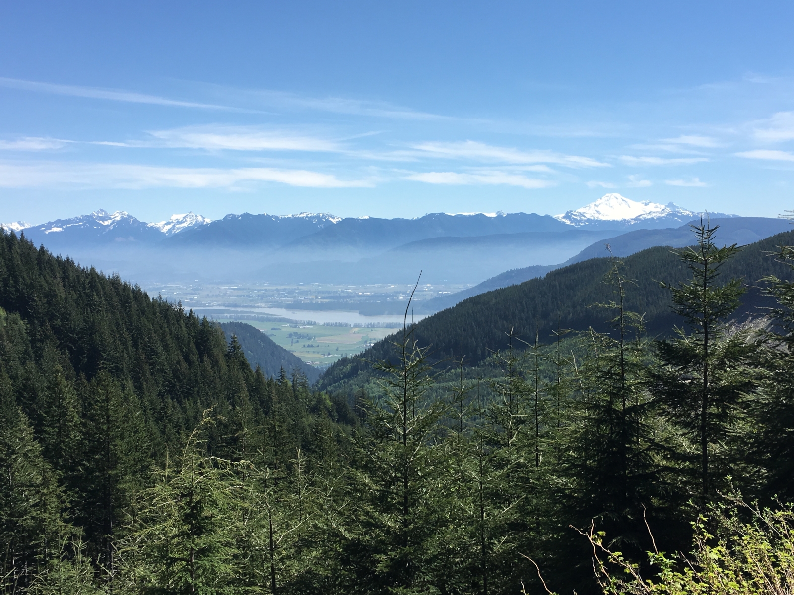
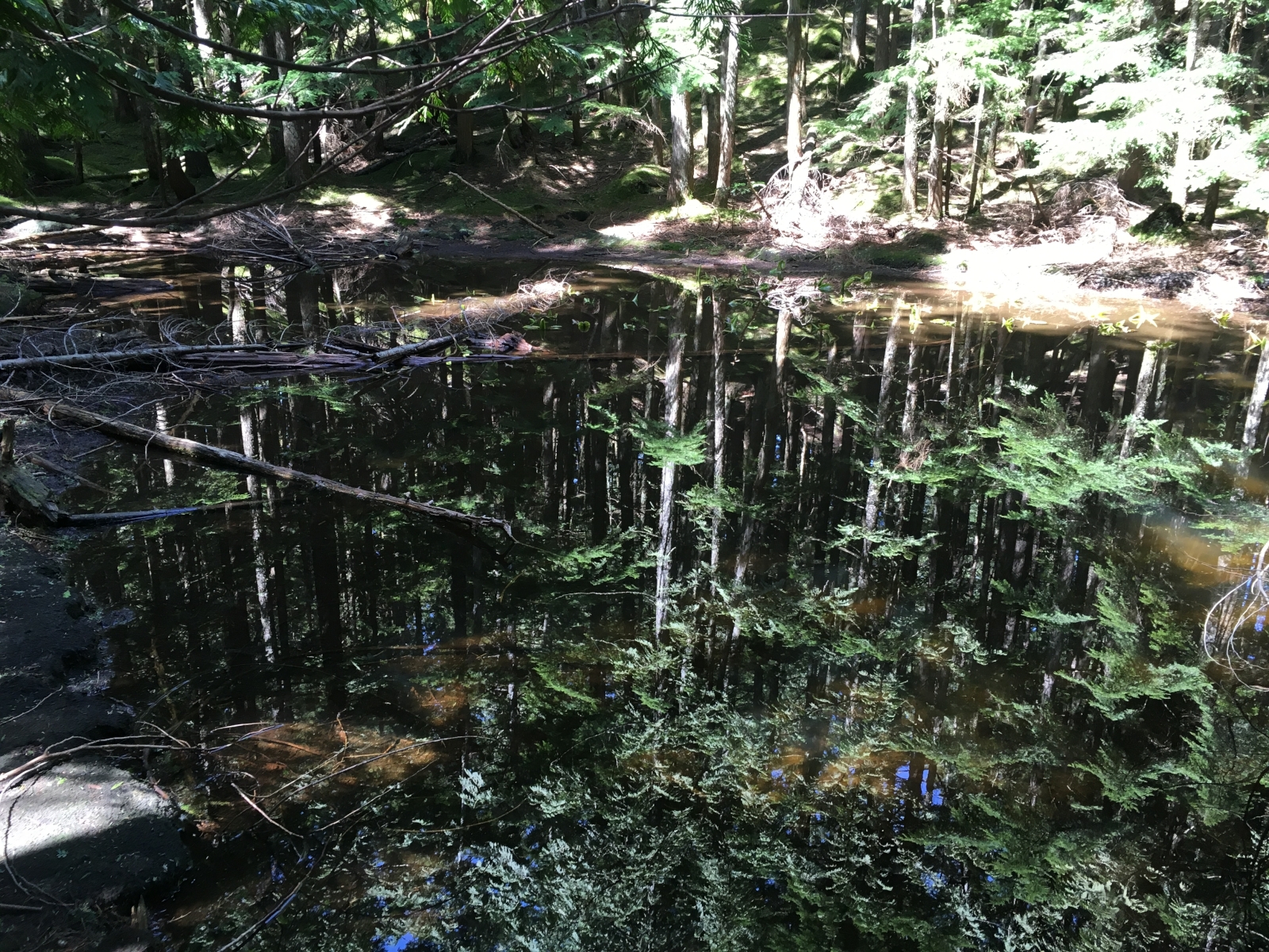
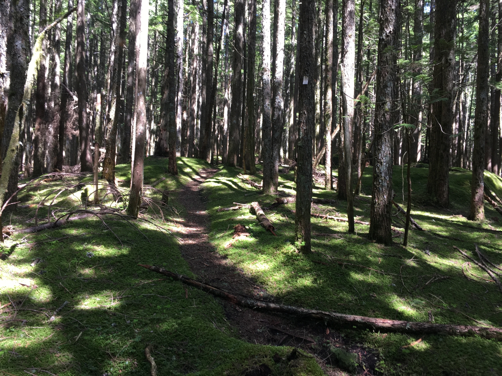
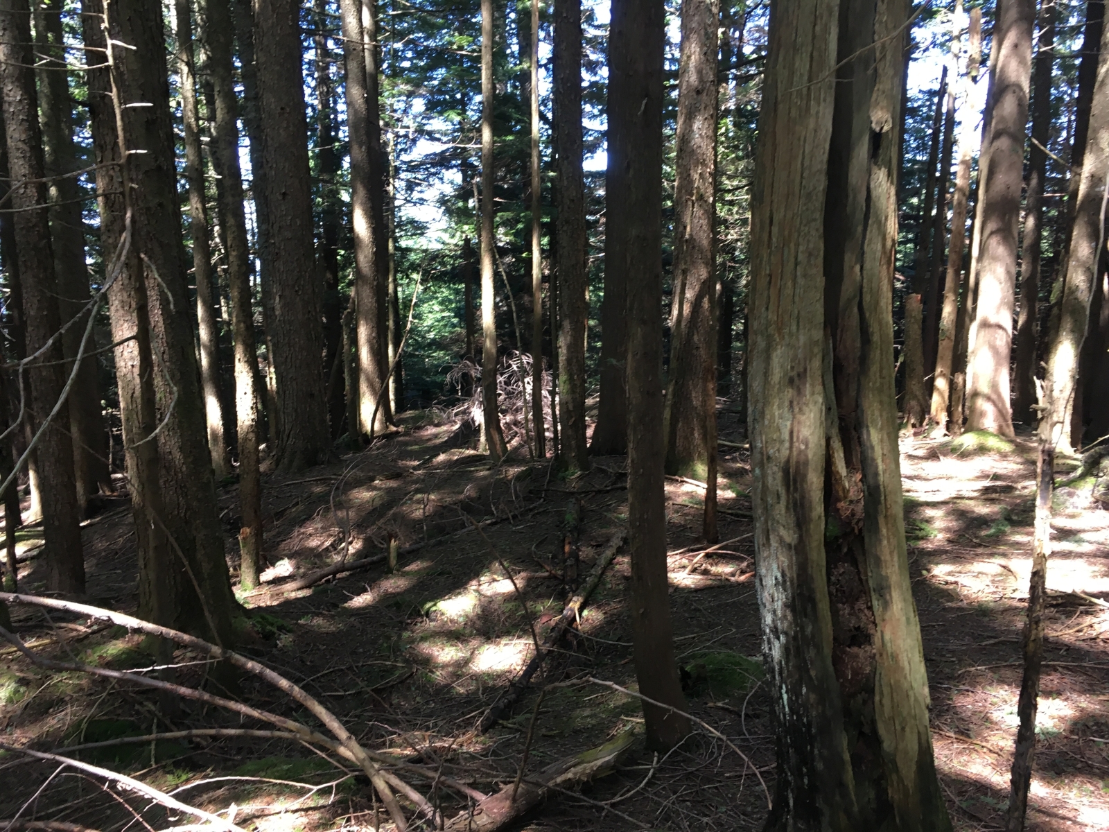
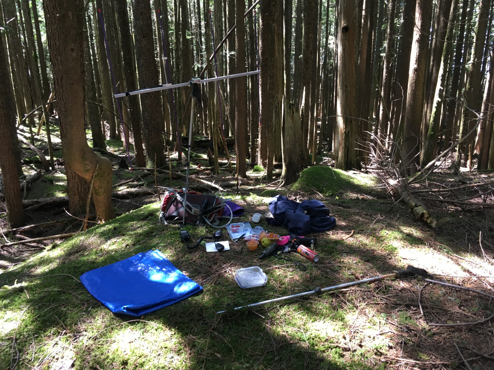
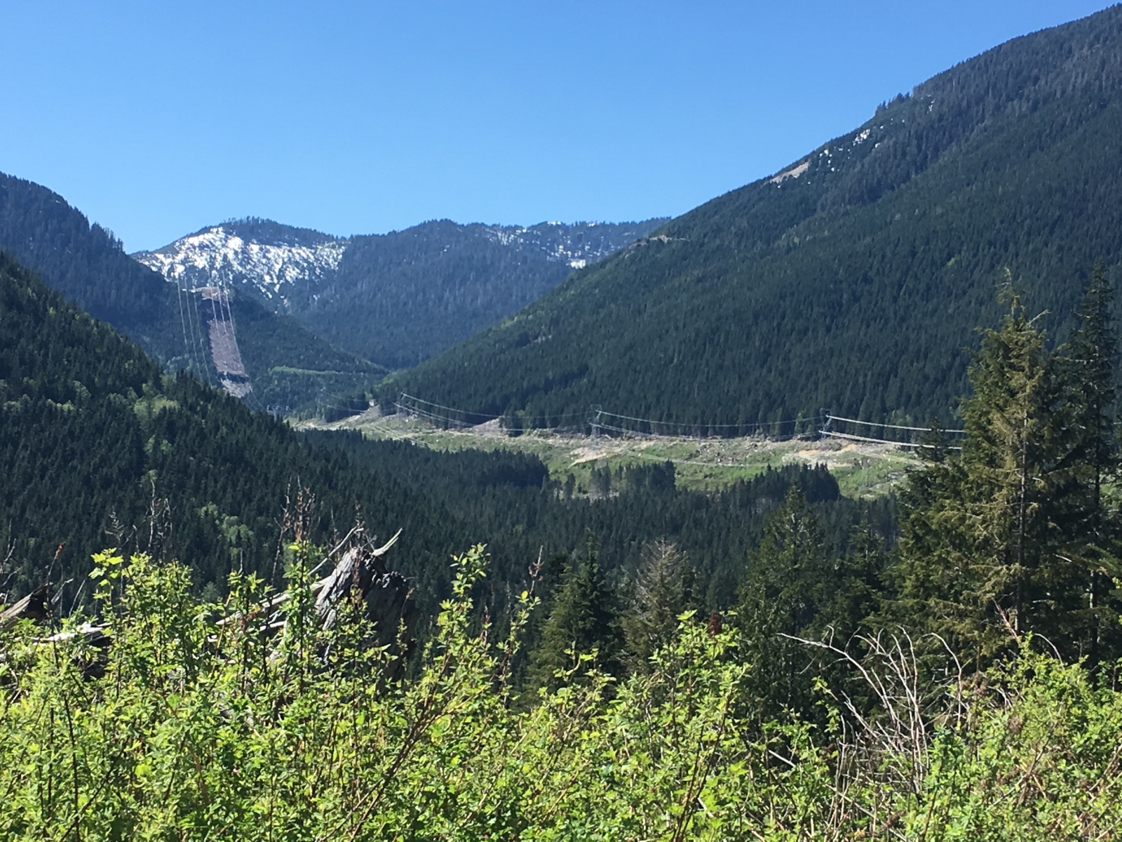
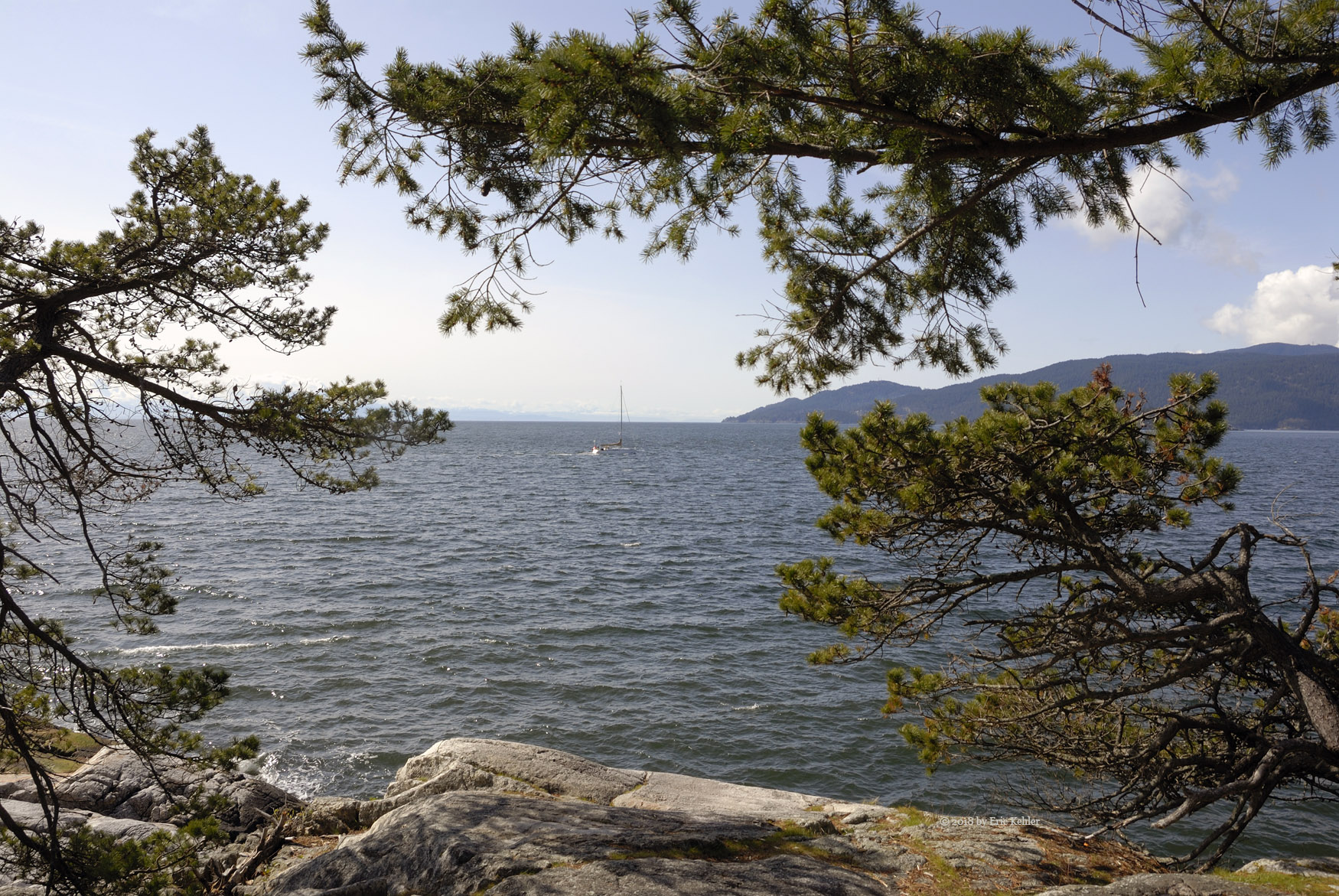
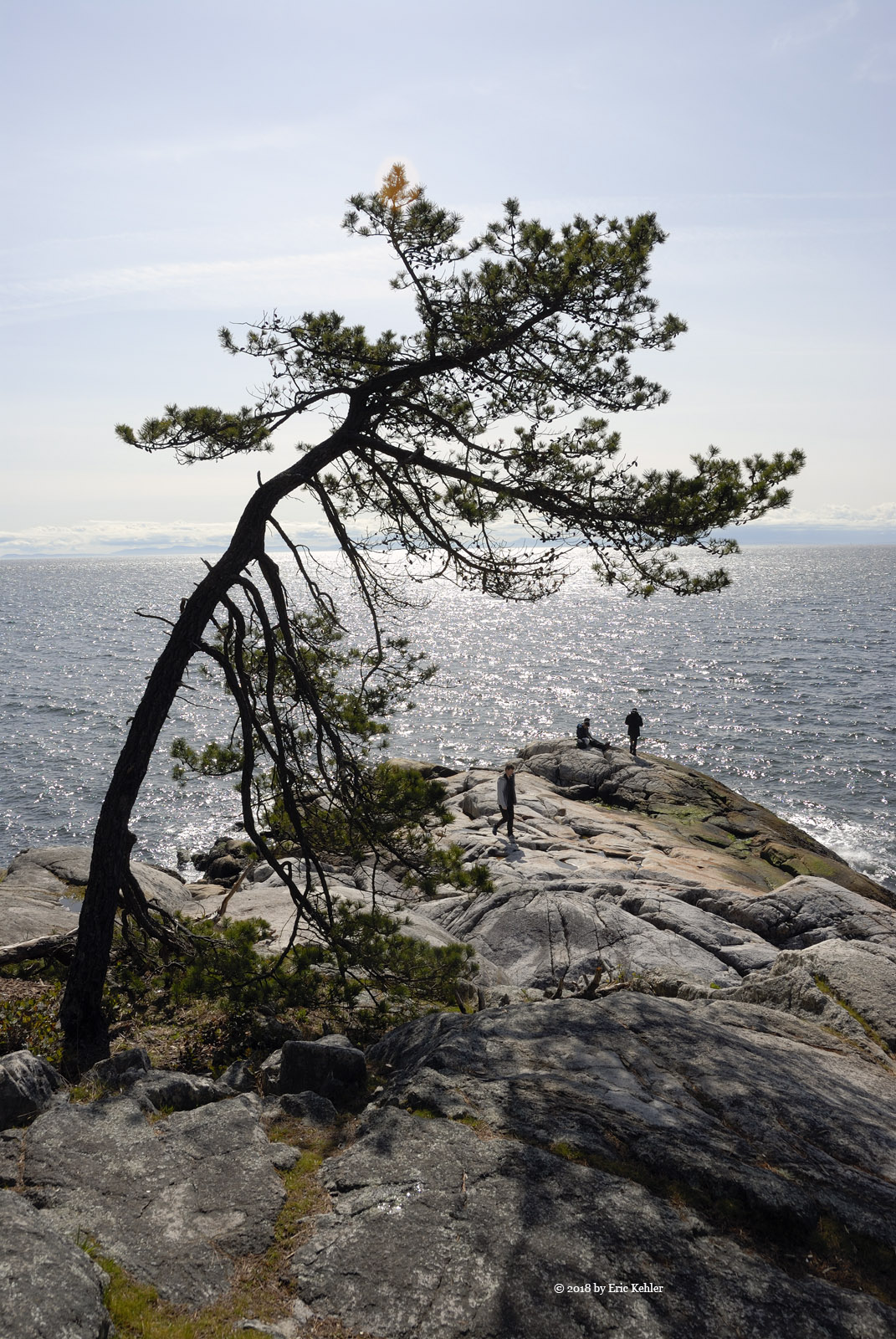
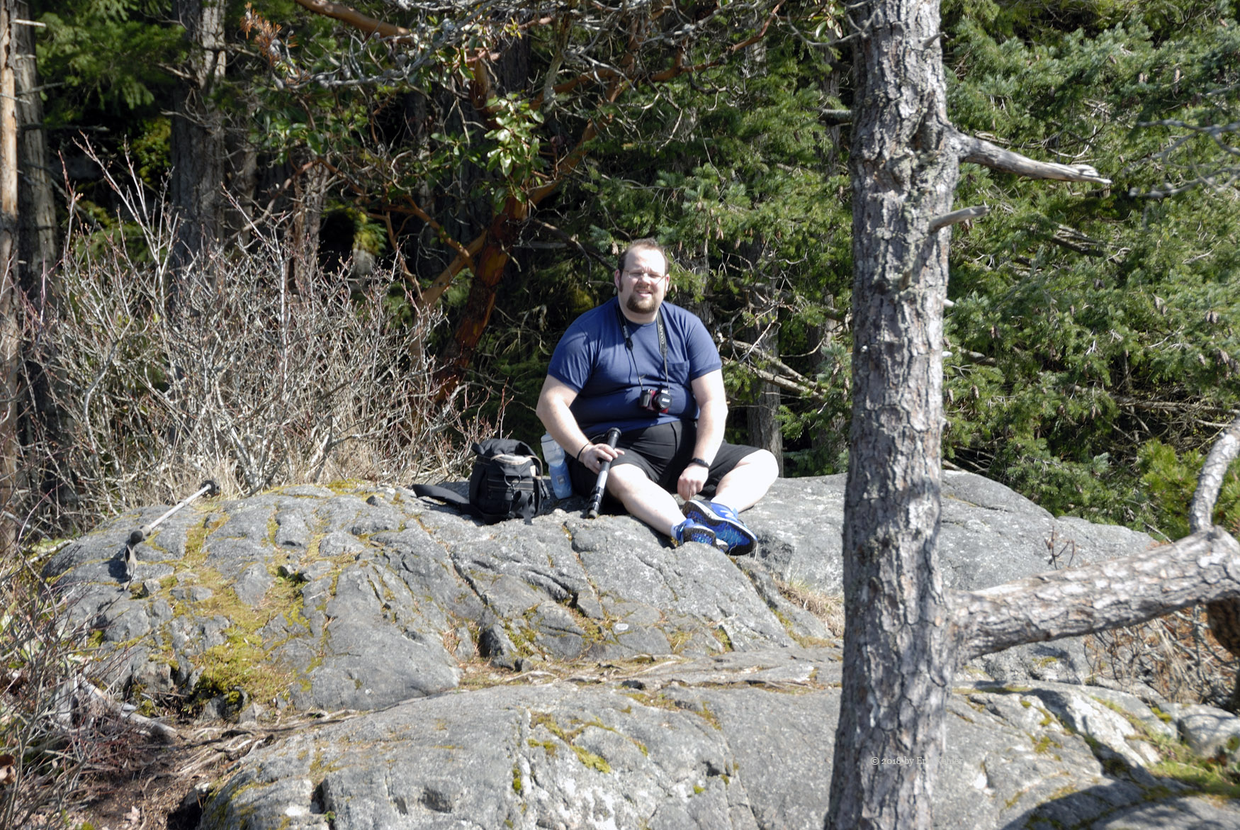
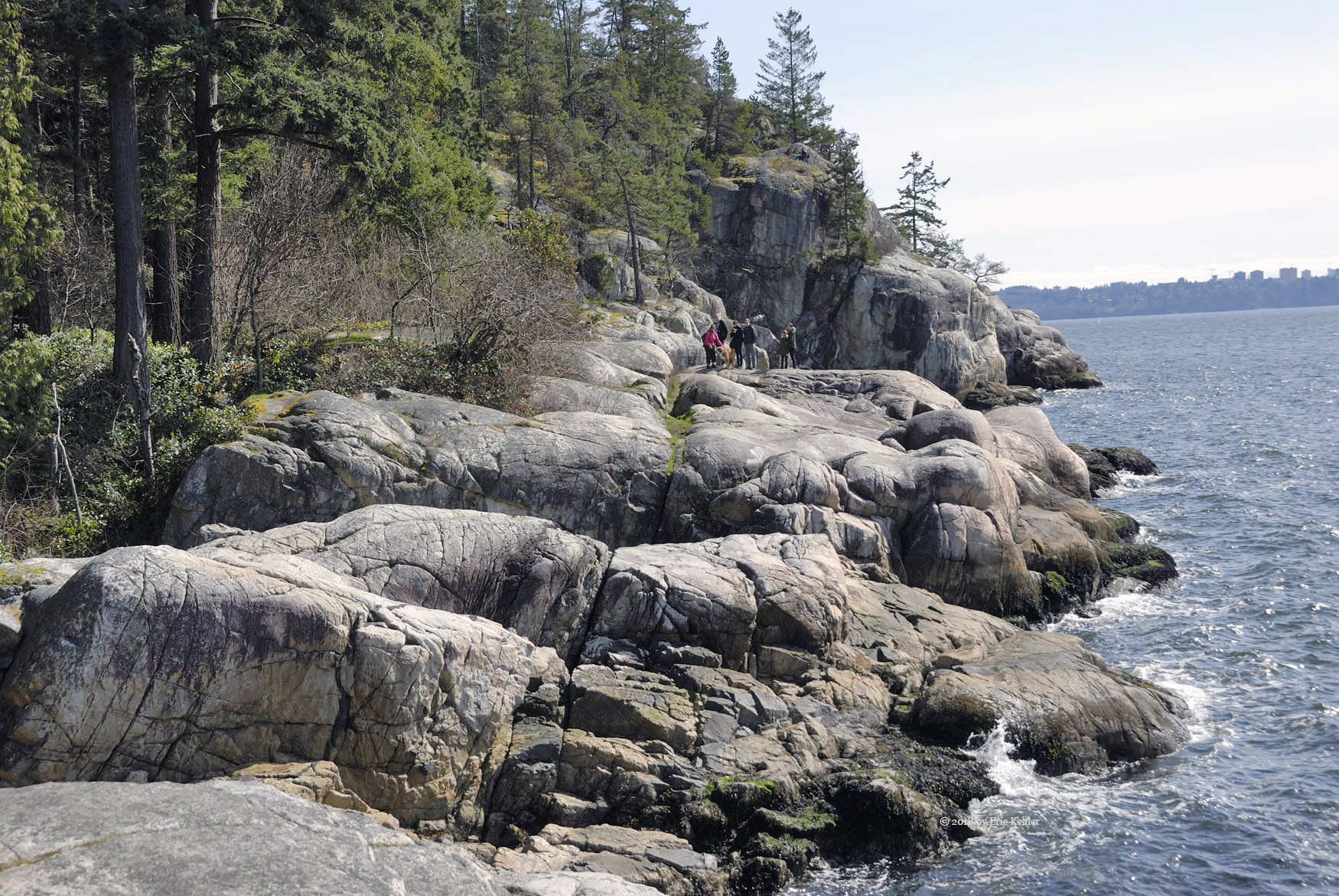
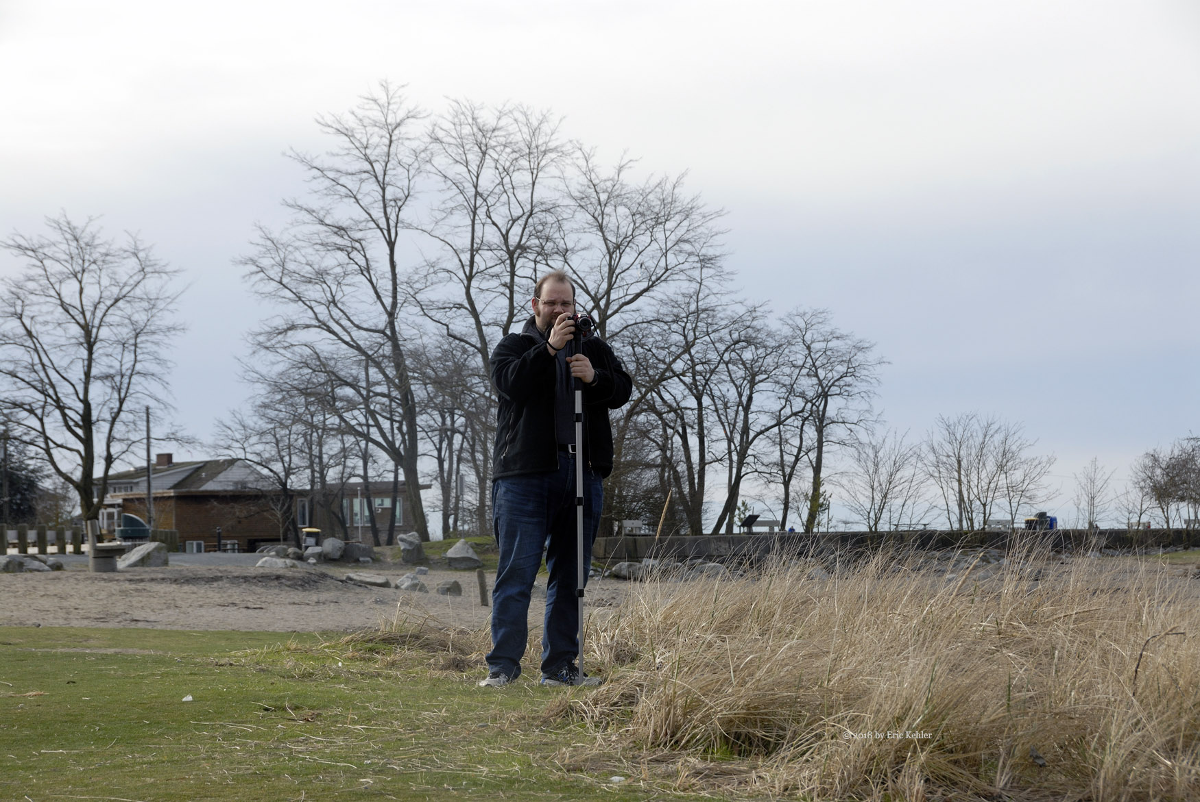
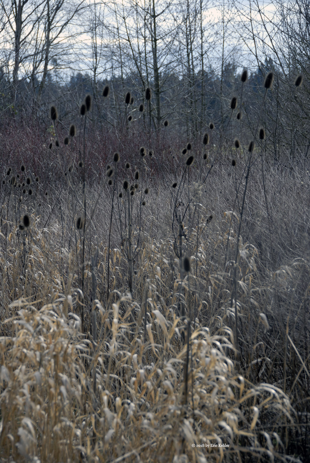
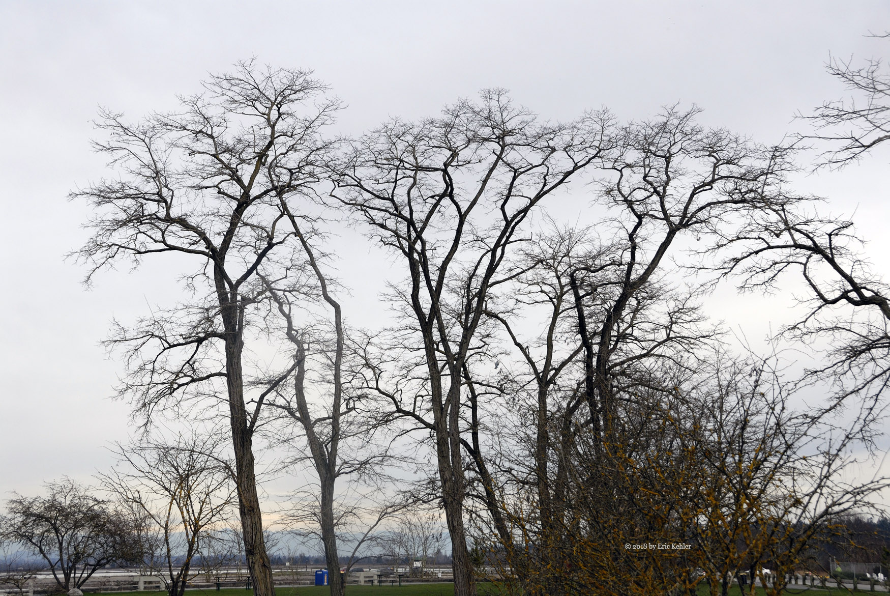
I started into the bush and picked out a path up the slope, soon I stumbled upon the hiking trail that makes its way from the Norrish mainline below to the summit. I knew it passed right next to my destination so I followed it the rest of the way up. It made life much easier and the walk much faster. I did gather a couple of scenery photos along the trail but soon I was at the summit and there I picked a small knob and laid out my gear. A short rest and then I was putting the antenna together.

Once assembled I sent a text to Carolyn at home and had her give me a call on simplex. I soon heard her but she wasn’t hearing me! It took a few moments but she soon realized the volume was off on her radio! Turning it up and we had a good quality contact. I made 4 more over the next half hour and so the summit was activated for another time.

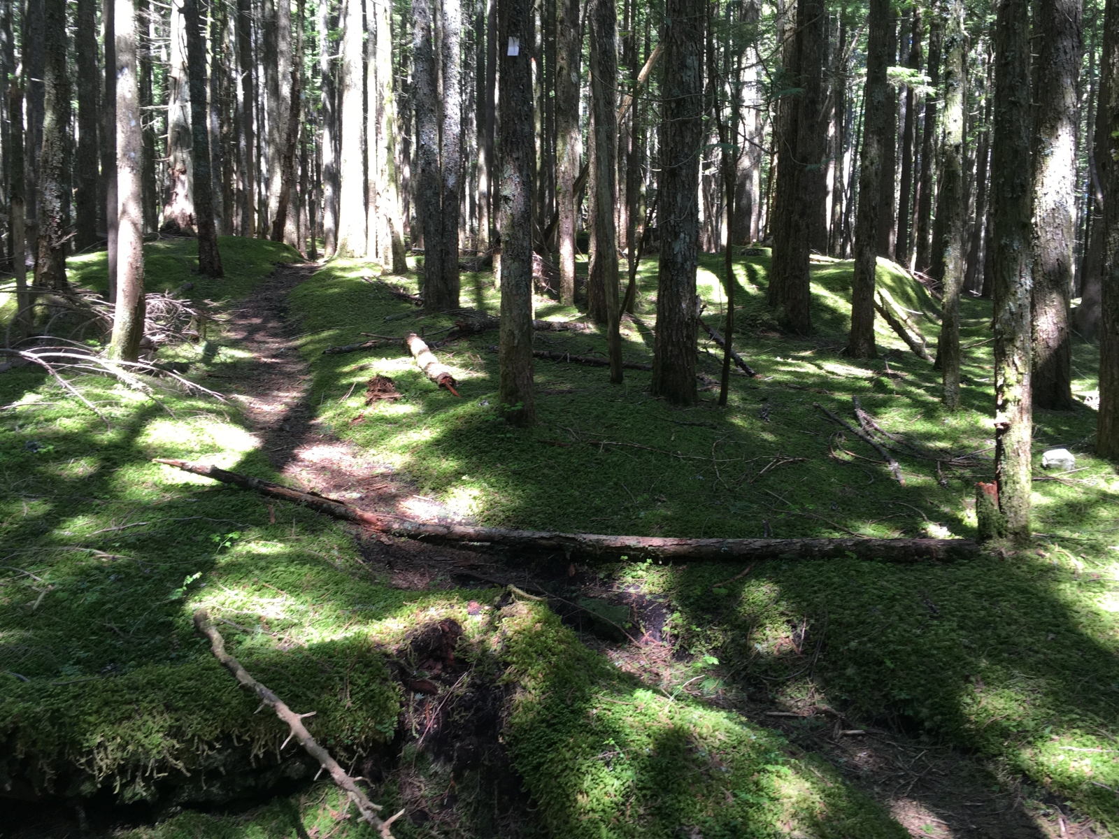
After finishing my lunch I packed up and followed the trail back to the truck. This time I continued along it to see where it crossed the road, it was only a short ways below where I was parked, next time up it will be even easier! I unloaded my gear and started up the AC in the truck to get cooled. After checking to make sure everything was packed up I started back down. At the saddle between Dewdney and Pattison Peaks I decided to explore the other spur, it continued for a ways and offered some views but nothing significant. I tried another spur that led across the ridge to the west side but was stopped by a fallen tree very quickly! I will want to explore that road one day in an ATV as it potentially leads to the next summit.

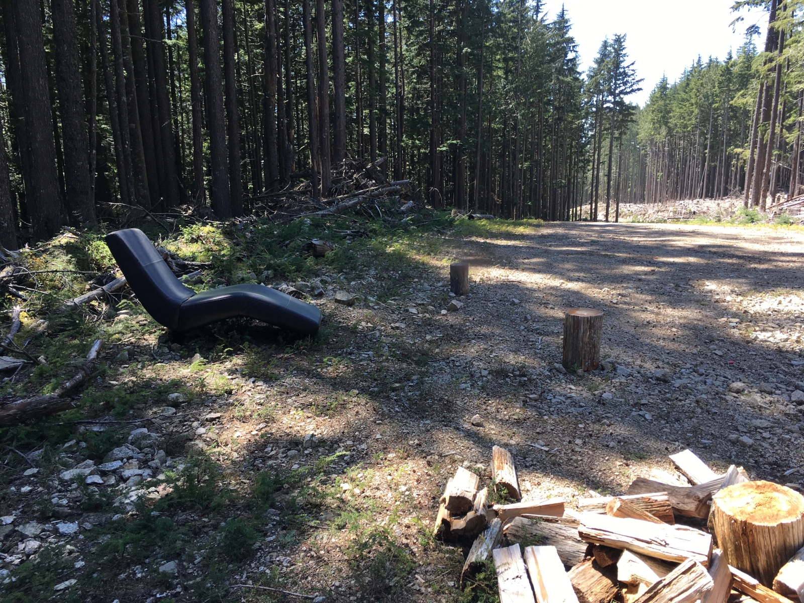
Well I was done with Dewdney and I drove down to the mainline. It was still early so I decided to drive in further to see if the gate across the mainline was still there. It was there but now it is open during the day! So the vast region in behind is available once again. I drove in and continued for 12km to where there are multiple branches to travel. It will be fun getting back here to finish the area I haven’t seen in 10 years.

It being 3pm I decided to head on out and made for the pavement. The paving at the start of the FSR was done and the road was a smooth marvel to enjoy. The rest of the drive went fairly well as traffic was not overly congested.

Sumas Peak Done Solo

Aperfect day for hiking so I couldn’t let the day pass in the office. The forecast showed that Thursday would be a nice one, so I organized my life to get out there and activate the summit in the Summits-on-the-Air program. Being mid-week my choice of companions was limited and those who could be available were already busy, so I decided that the trail is easy enough and there are people around so a solo adventure was not risking too much.

The drive to the trailhead was not long, so a later start to the day was going to be just fine. I had the truck and gear prepared last night and so this morning saw me getting some food organized and then a double check on the gear and I was off at the leisurly time of 9:50AM. I made the regular stops  - coffee and fuel and then a fast drive to Batt Road and then on to gravel at Taggart Road. Traffic was moderate along the highways and Sumas was light but road work stalled me out for 10 minutes or so! Once on Taggart I saw no more moving vehicles, so nice.

Once I arrived at the gate I parked the truck and got my gear on and started for the summit. I made good time on the road. If felt good not needing to wait for another nor feeling you are the one holding up someone. Perhaps the lack of conversation is a negative but the silence and serenity makes up for it. On the last bit of the trek the hike leaves the road for a short trail, it had a bit of snow on it in places and I followed a short-cut by accident at one point which led to a steeper than needed area. But soon I was at the viewpoint and unloading my pack. I had a breather and then I gathered a few photos – the valley was already hazed over! So early in the season, it will be really bad later.

I got my yagi set up and attached my new Kenwood handheld. It worked perfectly, not like the struggles I was having with the Icom and Baofeng radios. I soon had four contacts in the log, the last was with fellow club member Ken. Then I called Carolyn and she came on the house radio and I completed a 5th contact. I then ate a light lunch after which I set up the KX2, I heard a number of faint stations but wasn’t able to make contact. Meanwhile one pair of hikers came by with their two dogs and one infant in a sling. They were quite interested in the activity. One of the women was seriously interested in getting her license.

Done with the site and starting to get roasted in the sun I packed up the radio gear and set off for the truck. I made quick time back down and soon I was resting from the hike. A fun adventure and it went so well that it definitely means I will do more solo hikes.


Shore Pine Trail

On my last trip to the park we started along the eastern trails and enjoyed lunch at Eagle point and then rushed along the western trails on our return to the car. This time I wanted to spend a bit more time along the western shoreline and so we planned to walk the Shore Pine trail, but I am head of myself.

Our day began with a pleasant lunch at home and then we set out for the park. Now the day was a Friday and a stat. holiday, so I was very concerned about finding a parking spot in the park with our late arrival. But no point borrowing trouble so we drove the highways to West Vancouver and the descended the slope to Marine Drive. As we approached the park exit I noticed a number of vehicles parking along the road out here, an ominous sign! Sure enough we were in a short line of cars looking for a parking spot. As we drove in there were none to be found but as we started out a couple was walking down the road and we slowly made our way beside them, sure enough they stopped to load into their car and we patiently waited for them to pull out. So we did find a spot in the lot much to the annoyance of the cars behind us.

Once parked, we quickly got ourselves ready and we set out for Juniper Point. I hadn’t gotten there in a while and I really wanted to see how things were doing. As we made our way down the trail a few groups passed us on their way out. The rock face was just ahead and there were three small groups flaked out on the rocks in various places. Right on the top in the centre one spotted a blue doggie bag that got left behind, not the sight one wants to see on arrival. Well I was able to ignore it and gather a number of photos, the old tree growing on the cliff was still there looking much the same. I noticed that some of the arbutus trees had died which was unfortunate but the place still looked scenic. I spotted a cable structure strung across the next ravine south of us. Another visitor said it was a zip line that had just been stretched across and a few had tried it. Unfortunately no one was on it while we watched. As we started on our way back to the trails a woman with a larger brown dog came up on to the rock. The dog got ahead of its owner and spotted the doggie bag. It made for it and grabbed it. The owner was busy yelling at him to come but he was determined to eat that bag. As we left she still hadn’t stopped her dog and the bag was pretty well consumed with her cursing the person who had left it behind! A funny story for the day.

We returned to the Shore Pine trail and made our way south to Shore Pine Point. Along the way we stopped to marvel at the size of some of the Douglas firs. Some are truly amazing. At the point we stopped to rest a bit and enjoy the fresh air. I gathered a few more photos of the coastline and some sailing boats travelling past the point. We continued along the trail to the look out where we enjoyed the view and then made our way along the rocks to west beach. Here the wind was quite strong but Nick didn’t seem to mind it in his shorts and tee shirt. After a break we returned to the trail and made our way to the main area next to the lighthouse. We had been here almost two hours and we had seen the parts I was interested in and being tired out already, we decided to head back rather than continue on to Eagle point.

Once back to the parking lot we were amongst a few more cars that were leaving. There were a few open spots at this time but it was still very full. Early afternoon is the busiest time and the lot really is too small for the numbers who want to be here. But perhaps that controls the numbers enough to keep people away which leaves the place in better shape for the rest of us. It was a nice afternoon, not long but quite sufficient. Our drive home went smoothly without much traffic delay.

Exploring Victoria

The Victoria area has lots to offer a visitor, from the historical and museums to the outdoors. I prefer the outdoors and so on this trip I took time to enjoy a number of locations. This trip we skipped past the Island View Park, almost a heresy, and made straight to a restaurant for lunch. Later in the day we set out for a walk through Beacon Hill Park and enjoy some of the early flowers that had been planted. Most of the trees were still bare but in that state they have a gnarly look to them which can be quite lovely. We walked to the lookout area and there we rested while enjoying the light breeze and the sights to the south across the strait. On the return to the hotel I managed to capture a few more photos, mostly of trees. The park offers amazing sights in all of the seasons.

Wednesday morning found me driving to Observatory Hill to do a SOTA activation. The drive was fairly quick and the final ascent to the top was fun as it opened up a widening view of the region with each turn. At the summit is a large 100 year old telescope dome. There were a few people arriving and heading on inside it, so I guess they had some activity still ongoing after all these years. I, meanwhile, parked and started scouting for the point marked as the summit for SOTA. It wasn’t far off the parking area. The day was very windy and rain was threatening, so I didn’t want to delay getting started on the radio. I selected a dry spot to operate from and setup the yagi and started calling. It wasn’t long before I had a contact but most of the time all I was hearing was static. Later I was to learn that that static was actually people responding to me! Getting frustrated I moved numerous times trying various locations thinking it was the area not my equipment. In the end I had 3 contacts, one short of a point but at least I had it activated.

Thursday was a calmer sunnier day. A bit before noon I set out for Mount Douglas to try and activate it for SOTA. This was my third attempt to get it on my chart. Once parked I made my way to the summit and set up my Yagi. Hearing lots of static once again I was now very annoyed. I did work a station that I had also contacted yesterday. He was describing how I kept popping in and out with my signal. Eventually I was able to get a clear signal by holding the antenna connector on the radio in a particular way. This convinced me that I was having an ongoing equipment issue and with the connector in particular. I gave up with the 2m radio and setup my KX2. With the KX2 I worked a station in Colorado and heard two from Spain but those I wasn’t able to work. I did get two more before packing it in. So I finally activated Mount Douglas! And even earned a point for it.

Friday was a cloudy day with the odd drop of rain. I drove the coast as I set off for the ferry but this time I actually stopped at a number of spots along the way to explore the view and gather photos. I found quite a few lovely spots to enjoy and will need to come back and spend a longer period at a number of them. It was a nice drive back and I enjoyed the rugged coastline as I went along.

A Stroll Through Blackie Spit

It being Tuesday afternoon, the crowds were absent during our visit to the Spit. Normally when one comes on a week-end the parking lot can be quite full and the place crowded with people everywhere. Today, the lot had only a few cars and the beach mainly left to the wild birds. It was a nice time to visit even though the sky was overcast and the light a bit dull for photos.

Upon our arrival to the spit area and just past the last of the parking area the first sight I found were some one legged gulls standing on the ground watching me very closely. Here they actually let one get fairly close before they move on. I saw a few of these funny one-legged birds but then when one of them did decide to move another leg popped out of nowhere and the bird wandered off just to turn back facing me and tuck the same leg out of sight.

Continuing past the first gulls we wandered to the end of the spit and enjoyed some of the fresh air. Then we followed a secondary trail back to the lot. Here we noticed a fair number of orange flags marking clumps of grasses scattered throughout the area. I assume they marked nests though none were occupied at the time. Nick and I continued along the edge of the lot to the far eastern section of the spit area, here we stopped to gather photos of more birds and trees as we made a leisurely stroll along the trails. We noticed that several of the larger brass plaques were missing from the rocks to which they had been attached. It is so annoying that copper thieves even steal brass plaques from parks.

Nick gathered a number of photos of an old pier structure in the marsh and then we made our way back along the dog park where we watched one energetic medium sized hound running and frolicking in the area. He was having a good time running to and away from his guardian. Soon we were back at the parking lot but we were not done with our need to be here so we continued along the beach to the old pier and wandered out to its end. There we watched a number of people fishing in the river. One chap had just landed a medium sized flounder, he was about to toss it back when one of the other families asked if they could keep it for their dinner. The fish was passed over and soon disappeared into a bag for later consumption.

We continued our walk along the beach path noticing a number of stray mittens and gloves propped up on various rocks and trees. It seems that despite the efforts of parents to keep their children warm, the young ones lose their gloves at a regular rate. One even had a safety strap to prevent it being lost! Once we reached the point that forms the western most tip of Crescent Beach we turned back and wandered amongst the trees and beach sand stopping to view some new construction. We observed that some homes were built up and others right at ground level. Nick pointed out that these homes were only about a meter above high tide, a coming challenge with global warming.

Soon we were back to the car a bit chilled and definitely in need of a warm drink. One thing both Nick and I Like about coming here is that just at the top of the slope above the beach is Esquires Coffee shop. Now perhaps just ordinary in coffee but their hot chocolate is very nice, so Nick had one and I a Moca. A very pleasant end to our outing at the Spit.

Sights on the East Harrison

My last trip to the hills was back on Boxing Day last year. So I was getting quite anxious to get back out there. This long week-end offered us the opportunity to get the regular jobs done on the Saturday and then go have fun on the Monday! So that we did. The weather proved to be very cooperative and though it was cool, the warm sunshine made for a very pleasant time while we were climbing over rocks and things in the hills.

On this trip Geoff brought his son Liam along again and we decided to explore the east Harrison again even though that was where we went last time Liam was with us. The area is big enough that everything was quite a new adventure for him. The drive to the start of the forestry road was uneventful and we made good time until highway nine where a short bridge was undergoing construction and the road was down to alternating use of a single lane. A slight annoyance but once past we soon found ourselves on gravel.

Not much beyond the start we stopped to explore a depression to the side of the road, there Geoff noticed some new target practice sites. It hasn’t taken the shooters long to relocate to this area having been banned from all the regions to the west. I guess we will be seeing a lot more of these pretend hunters out here.   Once back in the truck we continued until we reached the bridge over Slollicum Creek. The view of the waterfall was quite spectacular with the ice on the side of the water. It was a beautiful sight and Liam was quite interested in it. Just before it, water seeping through the rock face along the road formed a sheet of icicles which were very pretty in their own right. Liam and I gathered a few photos and then we moved on.

As we approached the Cascade Peninsula turn-off I thought it might be nice to visit the area and possibly walk down to Cook’s Cove or drive to the end of the road to where there are some lovely rock formations one can climb. So down we drove and when we arrived at the entrance to the Cook’s Cove rec site we met another vehicle unloading, that ended our current interest and we continued on. We passed the locked gate that leads down the peninsula and to the cabins – not unexpected but annoying. So we continued along the road, it having narrowed considerably only to be stopped by a row of rocks. They weren’t overly large so we hauled them aside so we could continue along the road to the end.

We parked at the end of the road and got organized to head into the bush to reach the rock face just in behind the trees that surround the road. Soon Liam was standing next to the rock face and we encouraged him by saying we would be climbing that ‘mountain’. We continued along the face until we reached the spot where one can easily walk to the top. It was a lovely spot, covered in deep moss and soft ferns that were already quite dry. Settling down on them allowed us to rest and look across at Harrison Lake and just reflect on the relaxing spot. After a time we dropped down and climbed a couple more of the rocks next to the first one. We debated walking down to the lake but decided the walk back up was less inviting so once we had our fill of the scene we returned to the truck and set off. The vehicle by Cook’s Cove was gone but we skipped past it anyways. Another fork brought us to a washout that was recently opened up for smaller vehicles. This road continued past the creek and looked like it might lead down to the lake. It was tempting but not really possible in our truck. We did explore a noisy waterfall just upstream from where we were stopped at the creek.

Our next adventure brought us on to the Talc FSR and we quickly crossed the Talc River and made our way along the mainline until we reached a fork that I knew lead up the slope to where we could find a nice view for eating our lunch.  After a few switch-backs we spotted a short, level spur that looked like a promising location for lunch. Keeping it in mind we continued up the road and eventually reached snow and soon after, the end of the road. Though the end did have a view, the spot was much colder with the snow cover, so we decided to head back to the mossy spur for lunch. Once back to the spur we cleared some branches that were blocking our way in and once at the end we parked and made lunch. The area was covered in deep soft moss which caught Liam’s attention, and we had a nice view of the lake in the distance. After eating, Geoff did some target practice and Liam also had a fun time shooting the targets with the .22. It was really a very nice spot to rest and enjoy the day. But we had to see more so we packed up and returned to the Harrison FSR.

As we drove along the long beach area we saw a few groups that were camping on the beach, a bit cold for me. We found an empty stretch of road, parked and wandered down to the beach ourselves. It really is a nice spot and the views up and down the shore are quite lovely. After gathering a few photos we continued south, heading out. We tried a couple side roads and we even decided to drive the Bear Creek FSR. This road has had a locked gate at the 3km point for the last number of years and though I expected it to stop us, it was still worth the effort to see. Upon arriving at the gate we were stopped by it. We got out to see if it really was locked or just closed. It was locked! But on closer inspection we saw a chunk of metal on the ground and upon studying it we thought it might be park of the gate. It wasn’t but I did see a gap in the chain securing the gate, sure enough one could slip the chain through the gap and open the gate!

So we had open road before us and in we did go. There are some amazing sights in behind this gate and we were able to dive in a number of kilometers before being stopped by snow. If it had been earlier we likely would have put on the chains and continued on, but we were near the end of the day and too tired to bother so we turned back and left the area. Just before passing the gate there is a phenomenal viewpoint of the lake that caught our eye and we stopped to enjoy the view before heading out and home.

It was a great adventure in the warm sunshine and though the day was still quite cool with snow in places, it felt great and we all enjoyed being out in the hills. I hope the next trip will be much sooner.


Subscribe to 2018