
2019

Hollyburn done solo

My original plan for the day was to take a friend up Sumas peak to try some mountain top activation but he unfortunately wasn’t able to get back to town for the week-end. So rather than lose the week-end for a hike I decided to do a summit that was fairly easy and would have other hikers on the trail. Hollyburn fit the bill exactly and so to there I went. I left the house at 8:30 and arrived at the parking area around 9:40, I quickly got my gear on and helped another group with some of their gear and then I was off for the trail.

I made good time along the initial steep section of the powerline road gathering a few photos along the way. At the small lakes I stopped to take a few photos of the reflections before continuing on to the trail proper. There I made good time along the lower flatter sections but was still passed by some younger folk. One couple I continued along with until the slope got steeper. They had moved here from Britain mainly due to the beauty of the area and access to it. Once the slope got steeper I dropped back a bit to let them continue on ahead while I took a short rest.

Once rested I continued along the middle section of trail as it made its way to the series of small ponds on the upper flank. The trail seemed to zip past quickly and before expected I was wandering among the upper ponds. Next came the steepest section and along this area there was still some snow on the trail, not a lot but it did provide for some variety. Soon I was rounding the turn on the summit and calling out to the couple who were spread out on the highest rocks. In all, I made the summit in an hour 40 minutes. A very fast time for me. The view was a bit covered in some low cloud but the sun was breaking through more and more.

Once rested and finished my lunch I set up my 2m radio and started making calls. The first was to another hiker just across the valley on Black Mountain. I could almost shout at him. So I had the summit activated and with a Summit-to-summit to boot. I continued to make contacts including another hiker on a summit. By the end I had 17 in the log. By now the flies were starting to take notice of my presence and so I took a few minutes to gather some photos as the clouds had cleared and then packed away the radio. It was a very good morning so far.

The flight back down the trail went even faster and I noticed that I was back to the car after an hour fifteen. So I made very good time in the cooler air and felt I had a very pleasant trip up the summit. The drive home went quickly as well as there were no backups on the highway in my direction though the opposite direction was moving very slowly in places.

Grant Hill Awaits

The winter season with its rain and snow forces wimps like me indoors and so it has been over three months since my last hike to a summit. IIt still being early in the year most summits are deeply covered in white stuff and not to my liking, so I am left with a few low peaks to visit. Fortunately, Grant Hill makes no claims to grandeur but there it is patiently waiting for me to visit. I have been trying to find a decent Saturday over the last few weeks when the rain would stop, and one could head out. The day finally arrived, and Ralph and I set out for Grant Hill.

The drive to the locked gate on the road to the summit takes only around 45 minutes so we can start out at a leisurely time and still be on the summit before noon. Today we left a bit before 10am and drove straight to Starbucks before venturing to the hill. Once loaded up with caffeine the rest of the drive went quickly, and soon we were turning around at the gate and looking for a spot to park between the numerous parked cars that had unloaded mountain bikers. Though cool, the day was dry and there was no snow on the ground anywhere we could see. 

Once parked we got our packs on and some rain gear pant covers and started up the road. The first hike after a longer gap always leaves me wondering if I forgot anything. After double and quadruple checking my pack and gear, I still was not 100% certain but it was now too late if something was left behind and so it was time to enjoy the fresh air. The walk up the steep road went smoothly we noticed a deep eroded cut across the road in one spot and the remains of a tree that had fallen across the road – now cleared. Soon we were at the top next to the highest of the 5 radio towers littering the summit. After a short walk into the bush along the top trail we arrived at the cleared area to set up in.

Ralph was using his Alex Loop antenna today, his last time with it was not a success and so this time he wanted to give it a better try and see how it would do. While he set that up I got my two-meter Yagi deployed along with a small portable table I got at Christmas. I put out a few calls and was hearing no responses. I was able to work Carolyn before long and then a chap and his wife in Abbotsford. After a long period of calling I only heard a few brief responses but not enough to log the contact. 2m seemed to be quite dead today for some reason. Meanwhile Ralph had gotten his loop set up and using my KX2 was making a number of contacts in CW (Morse). After a while I stopped to eat lunch and then tried a few more calls to no avail.

After lunch Ralph had completed more than enough contacts and so I was able to switch the radio to phone mode and after putting out a spot on the sota list, I started making some calls. I soon had a contact with a chap in Kansas and then a second with a station in Minnesota. So the loop and KX2 were working well with the 12 watts. I tried a few more calls but soon I got crowded by some other stations and since I had enough contacts, I called it quits for the day. So now to pack up and head down.  One of the benefits of this location is the number of mountain bikers that take a breather at this clearing. We chat with many of them explaining the fun of radio. One pair of cyclists were quite amazed when I announced my successful working of the two mid-western contacts.

After packing up, we began the walk down and were soon dumping our gear into the car. It was a fun time on the summit in the fresh air, and even though only a low hill the time amongst the trees was still quite rewarding. As we descended back to the crowds on the highway, we stopped at another Starbucks for a warm up coffee and then continued on our way home. Now to plan the next summit before too much time passes by.

Gwendoline Peak

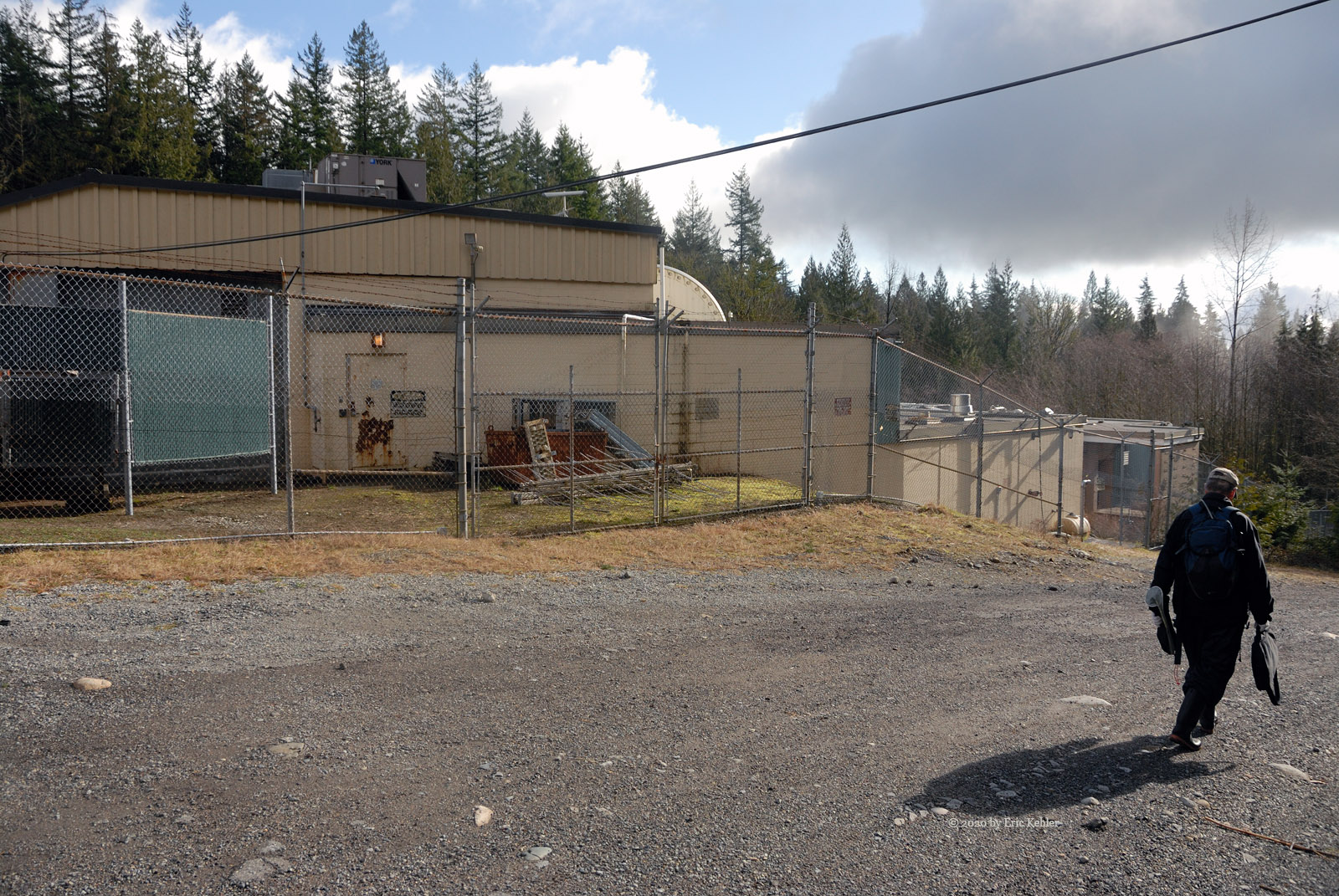
With winter rapidly approaching and questionable weather ahead, there would be few opportunities to get out and enjoy some back country and operate my ham radios. I have already activated all the easy summits around the region this year and so I had to locate something not done but easy. I didn’t want any hiking as my arm dislocation still needed more time to heal so a simpler drive-up site would be best. After reviewing the options, I discovered that Gwendoline Peak was a possible drive-up location and having never been activated it provided a great choice for the day.

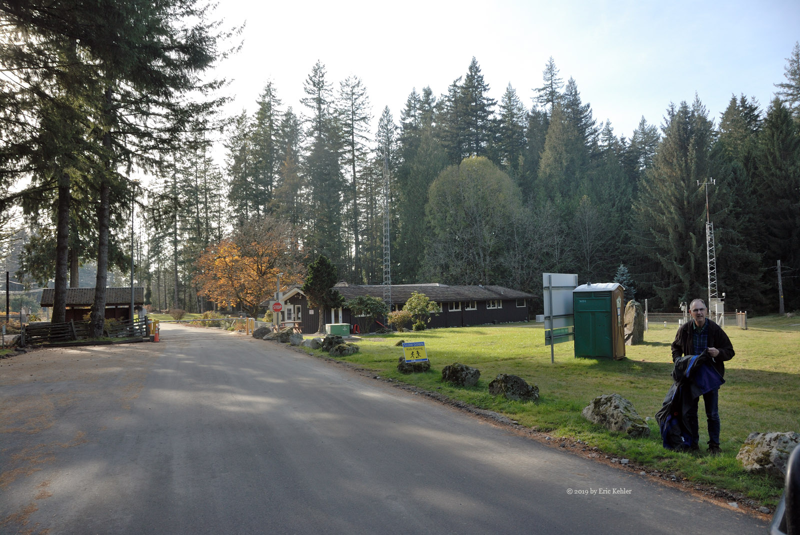
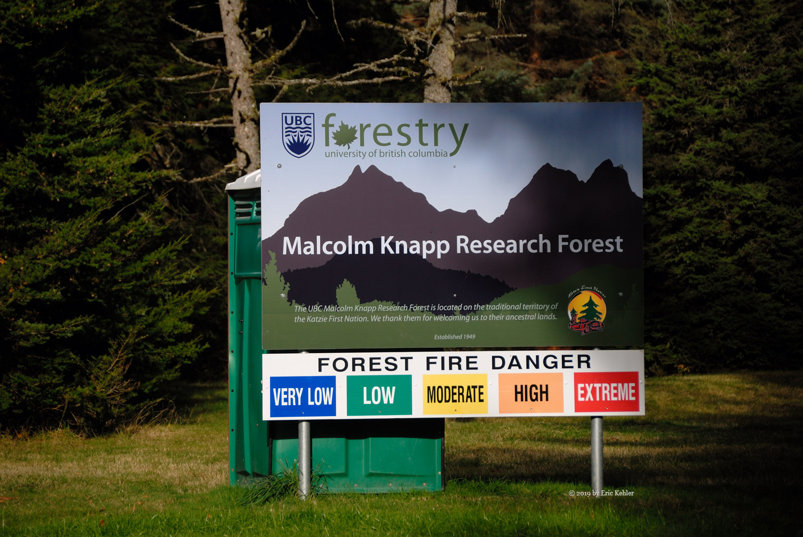
The road to Gwendoline’s summit looked like it would be drivable right to the summit area and then one would just need to set up the gear. This was ideal. The one major obstacle was that it was located inside the UBC Research Forest - it was on private land. They had a visitor program, but it was limited to hiking along various trails, no bikes were allowed nor were dogs, vehicles or camp fires. This looked quite discouraging but I decided to send off an e-mail to the forest manager to see if one could get vehicle access. After sending a note explaining our activity and request, I was able to get permission to drive to the summit for Saturday. This was great news and I let my son know and my SOTA chasers.

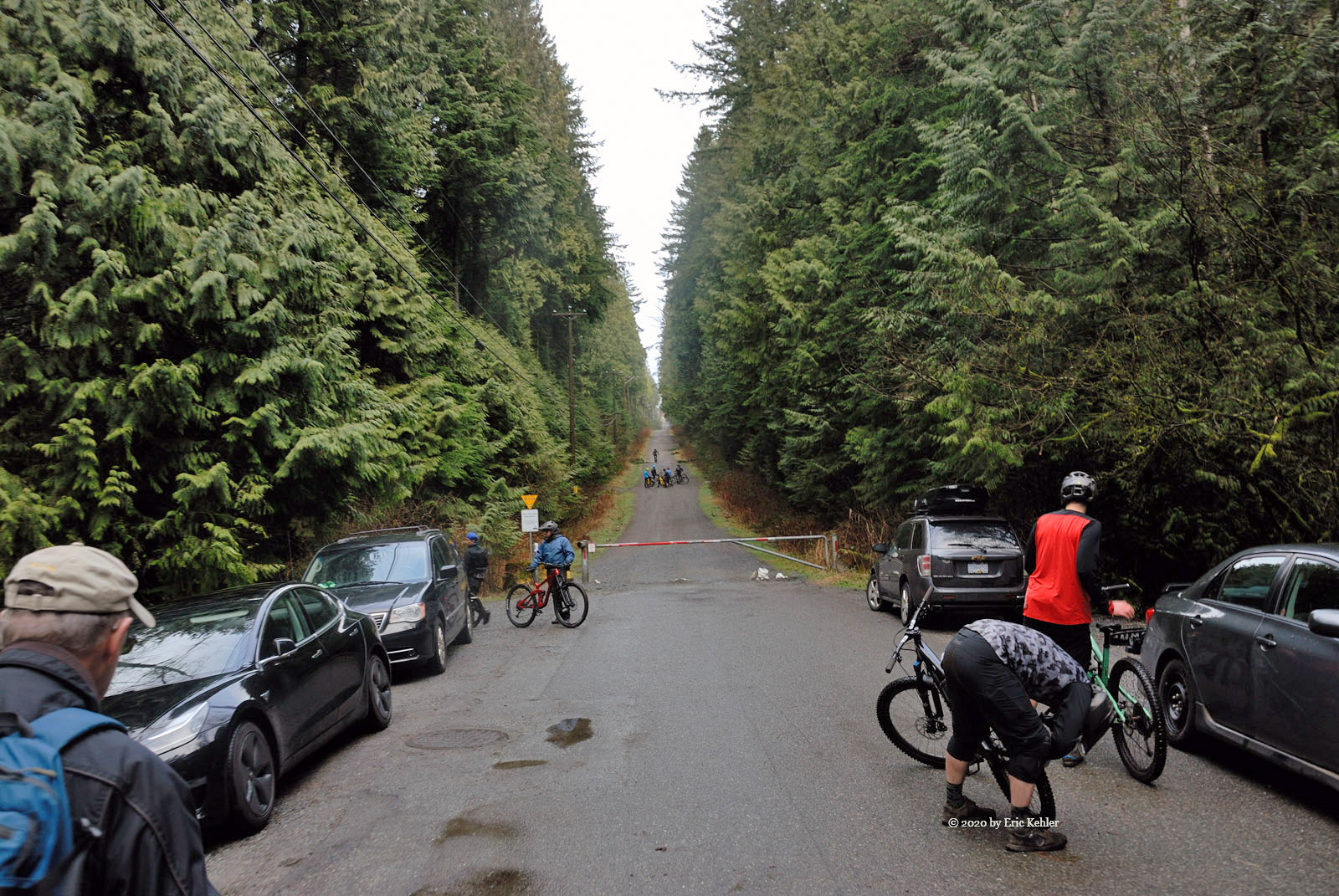
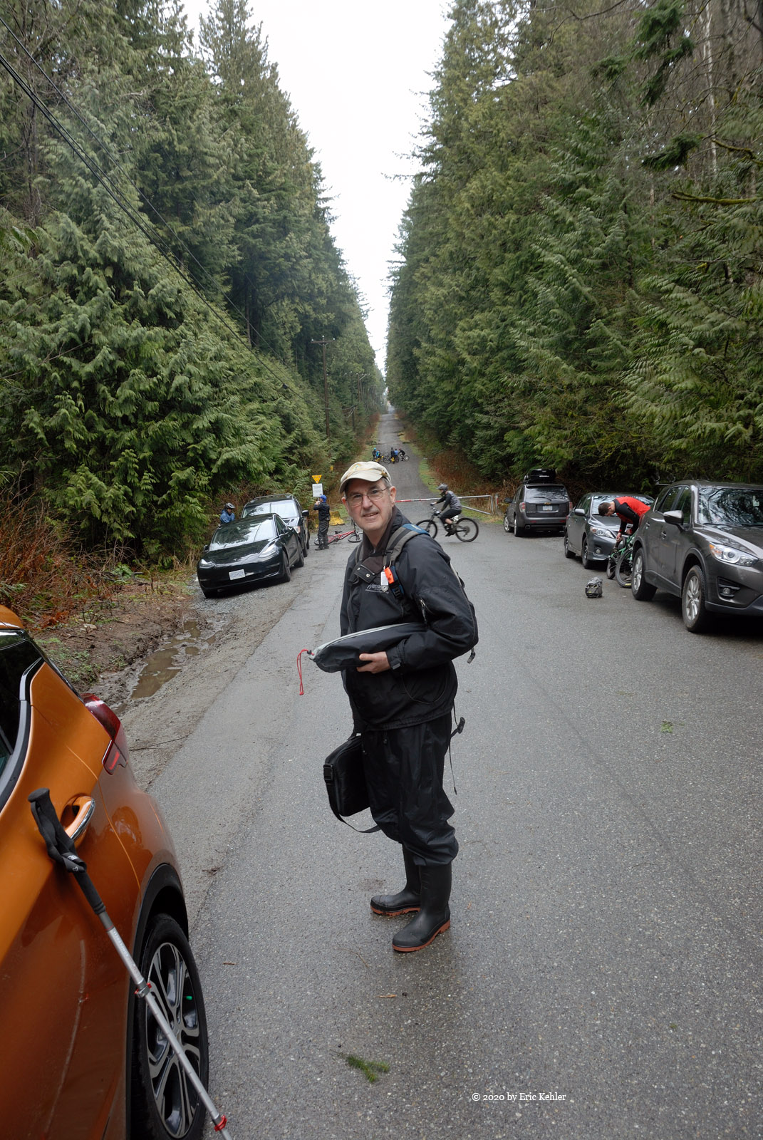
Upon hearing of my access, Ralph asked to join the team for the activity and so the three of set off mid-morning on Saturday. The route was still not certain, but we were hopeful. Upon arriving at the gate to the forest I got out of the truck and entered my access to code to the gate. It opened! And so we were through the first obstacle. Now we had to find a route to the destination. Most maps were outdated but the latest back-country map book maps showed three possible routes to the final segment and so we followed the first of the chosen routes, it was the shortest and the early road looked promising.

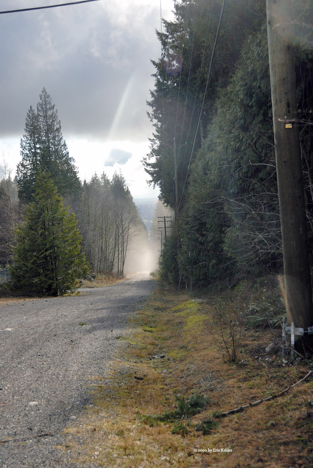
As we continued the road diminished to maintenance level and as we entered low use area the road became a worn set of ruts. It was still quite drivable but not well used. The road continued to within a kilometer of the final road segment when it ended! This route came close to the summit but stopped abruptly with no access further.  This was discouraging but, on our way here we did happen to notice a sign on the second route which stated it as the way to Gwendoline Lake which was very close to the summit spur. So not despairing yet, we back-tracked to the alternate route and started up that road.

This road was in much better condition and we were hopeful. After what seemed like a long drive, we arrived at the first of the lakes. The road continued past as the map showed and then swung south heading back toward the road that dead-ended on us. Right at the place it would have forked with the summit road the now the only road, it swung right and continued up the slope! It was now the access road. Great news. I continued driving up the spur, by now it was down to a pair of ruts along the road bed with small trees growing in the middle. I continued following the road, taking the left fork near the top of the way and soon we were heading due south to the final ridge and activation area.

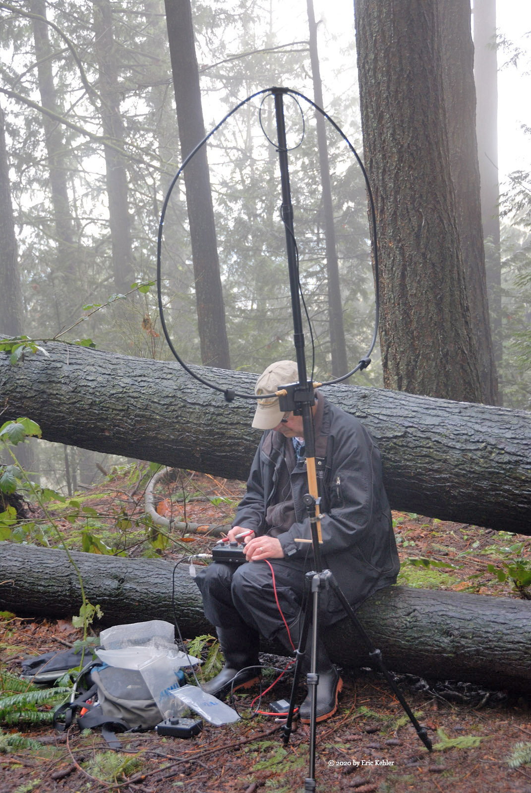
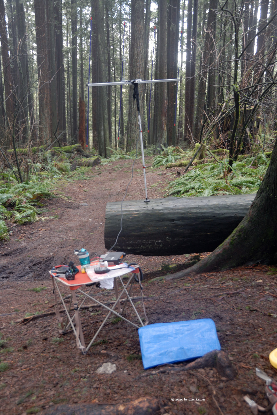
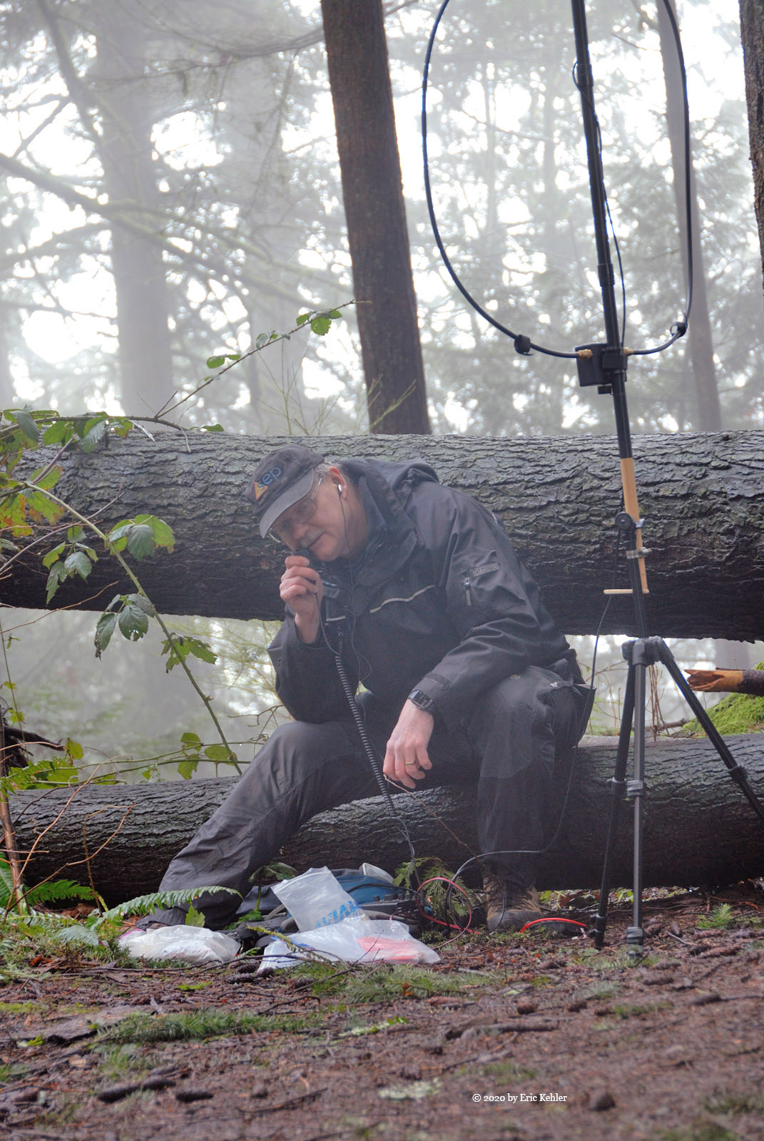
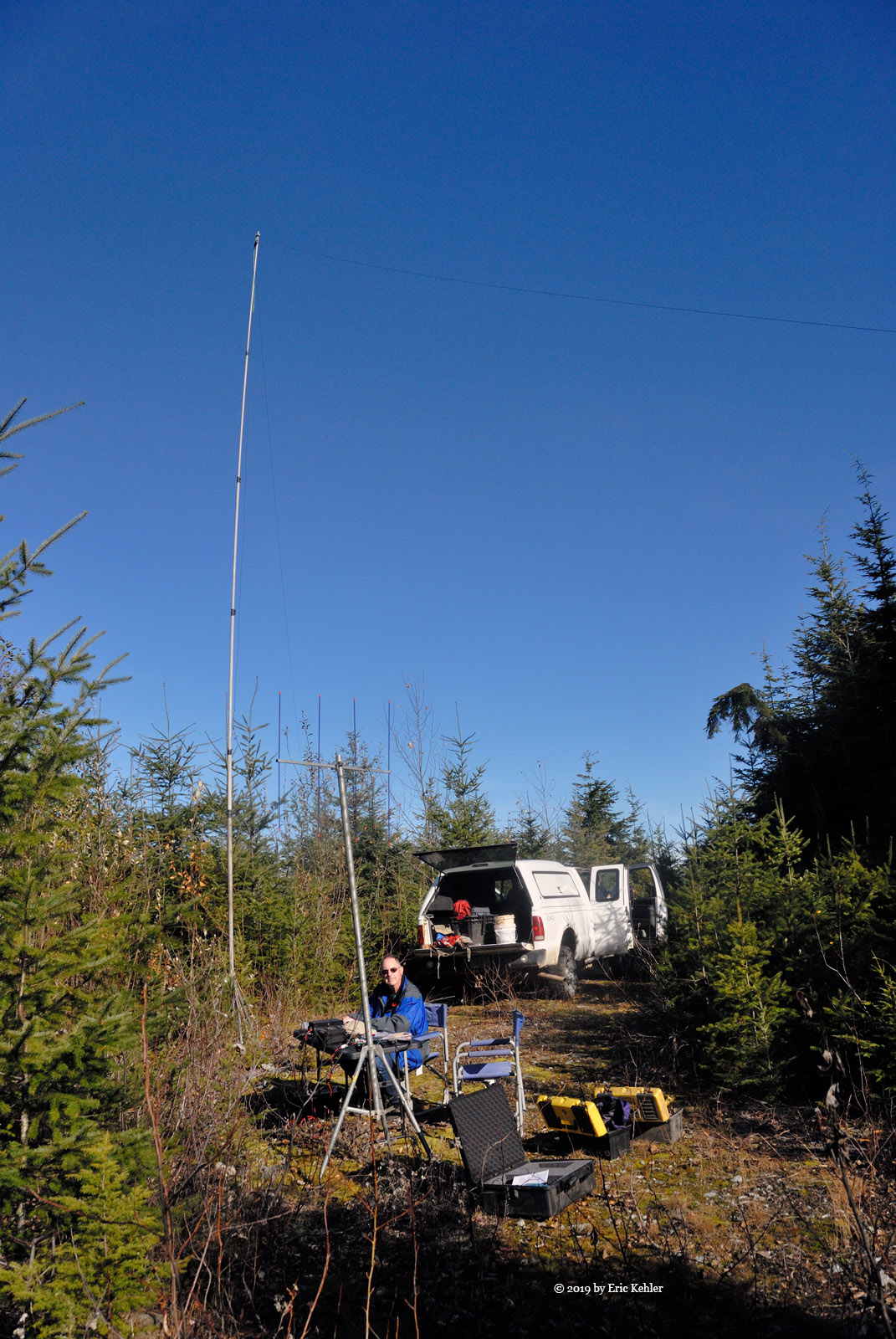
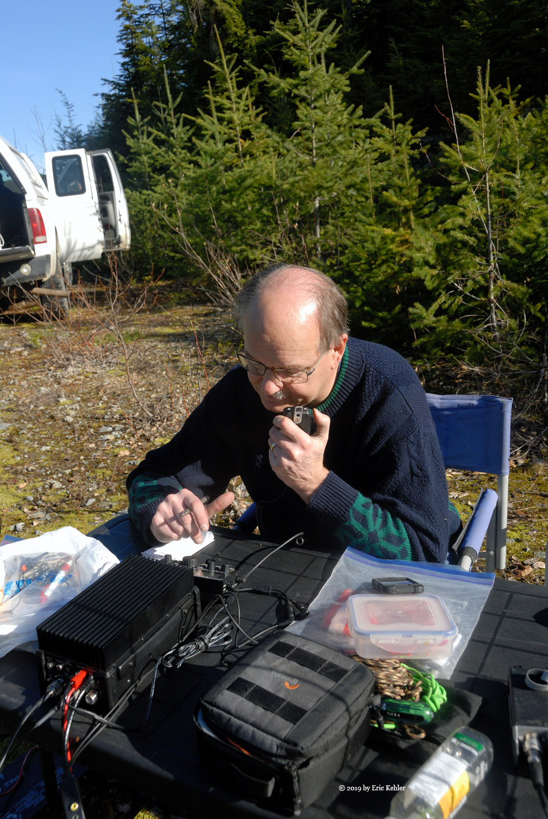
The road played out right where my original maps showed, and Google Earth indicated. We were in the activation zone! The area was full of head height trees from replanting, but the road area was still clear, and we were able to park and set up a table and chairs. After planning how we would string the OCF wire antenna we got my fiberglass mast stretched out and the antenna attached. While Ralph and Nick were getting the HF antenna in the air, I got my 2m yagi set up and put out a quick call to John Bell who was hiking a quadruple summit run in Cypress. I managed to get him first call – he was on the second peak already – Mt. Hollyburn. Once logged, I helped the other two get the wire in the air and Ralph on the HF radio then we both got busy making more contacts. I managed John a second time once he reached the summit of Mt Strachan.

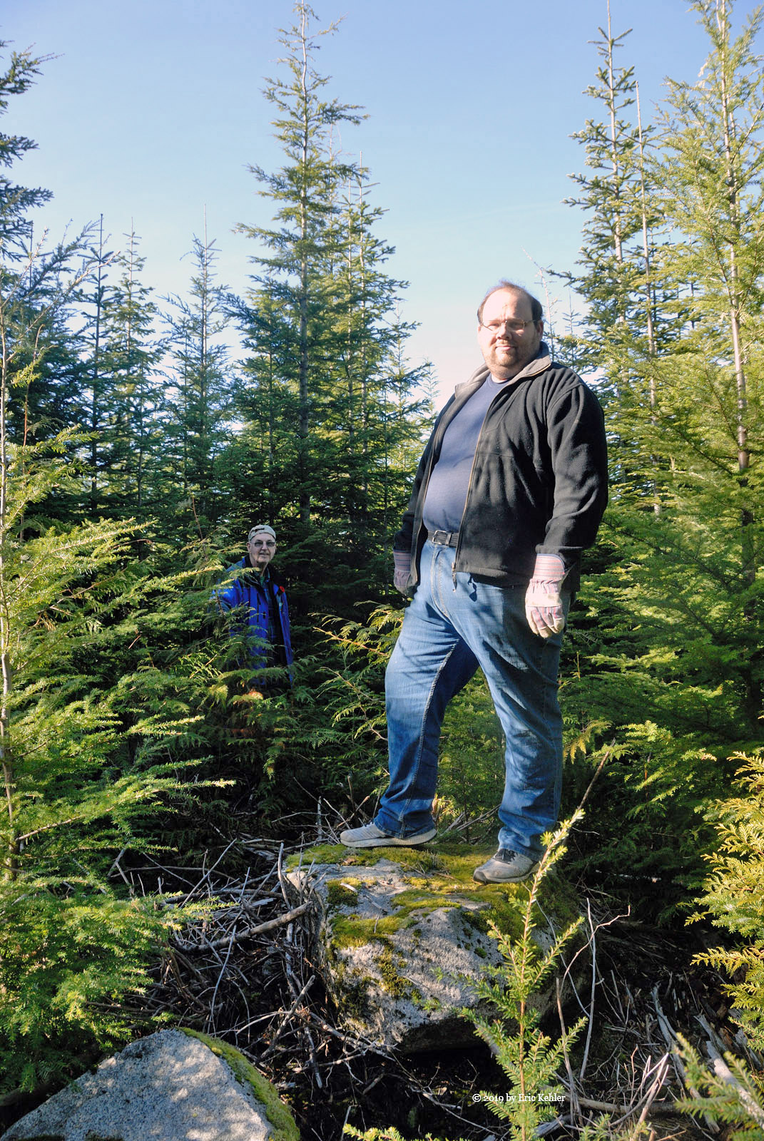
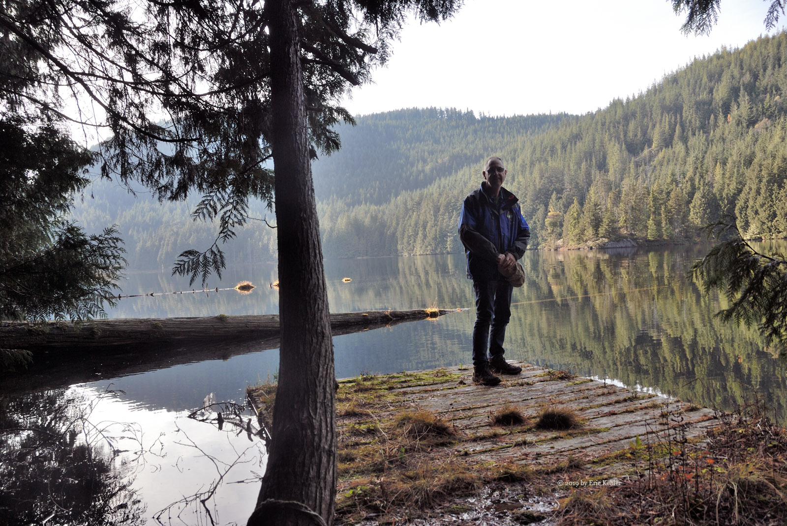
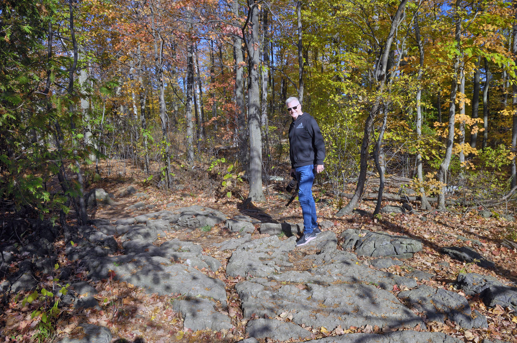
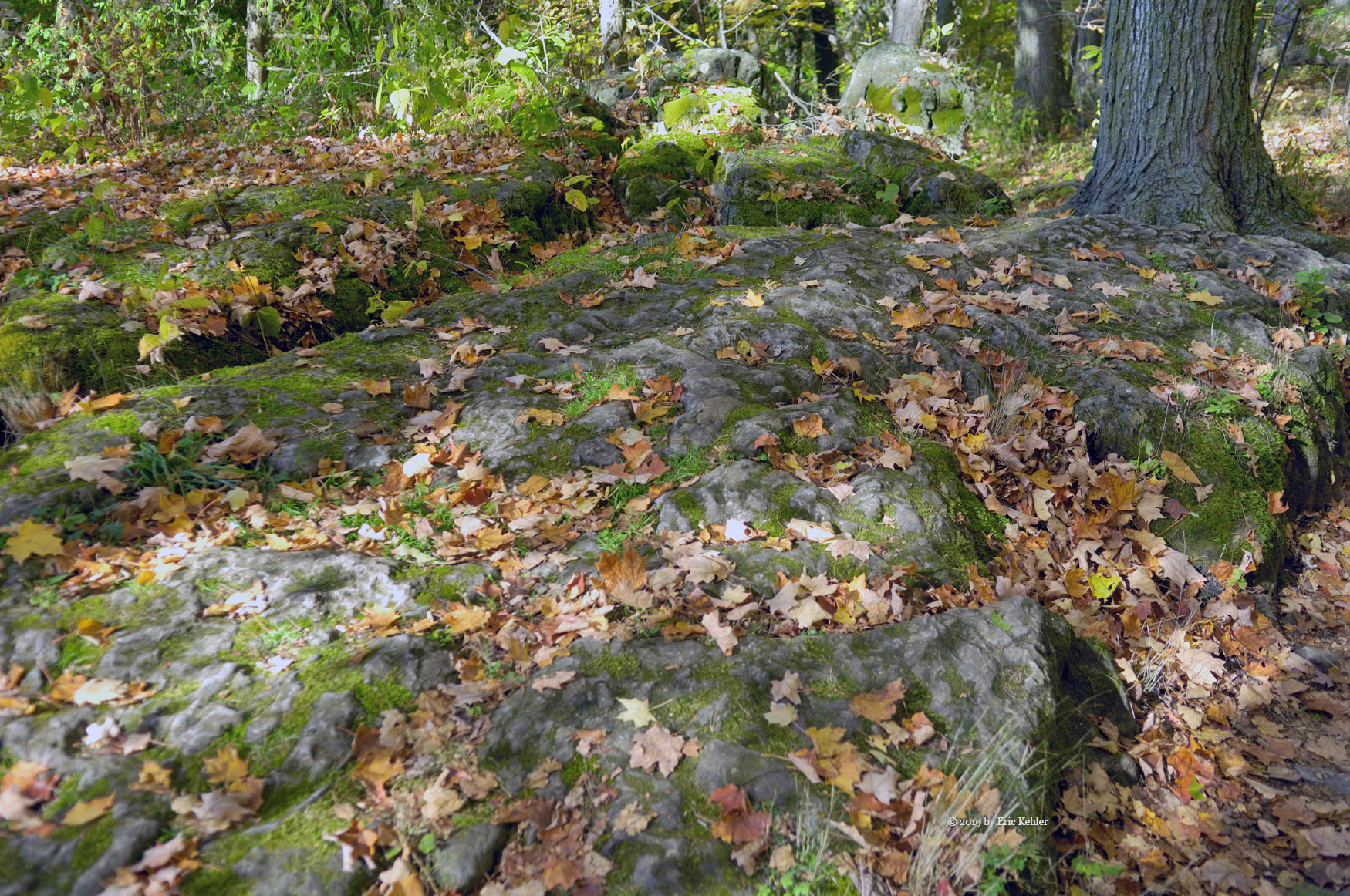
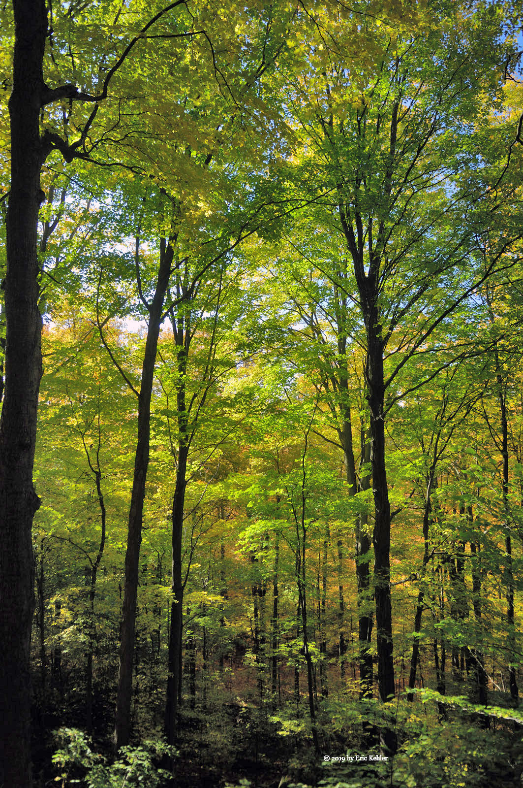
When we had finished our lunch and filled our log books with various contacts, Ralph even worked a station in New Zealand, we packed up the gear and looked to the side of the road in the direction of the posted summit. Our location was only about 7m below the summit peak and the area was quite broad so finding the exact high point in the brush would be hard. We decided to give it a bit of a go and so we pushed through some dense tree growth towards the summit location. We went about 75m when we came by a grouping of rocks which we decided might be the highest point. I decided to push in a bit further to see if the old growth area was higher but upon getting there, I wasn’t so sure it was much different. So, we decided to say we had reached the high point and set off back to the truck. It is easy to drop down hill too fast when returning and this was the case today as well. Fortunately, being aware of the tendency I managed to get us back to the road without much drift. It was a fun side excursion and it reminded us of how nice open forest is.

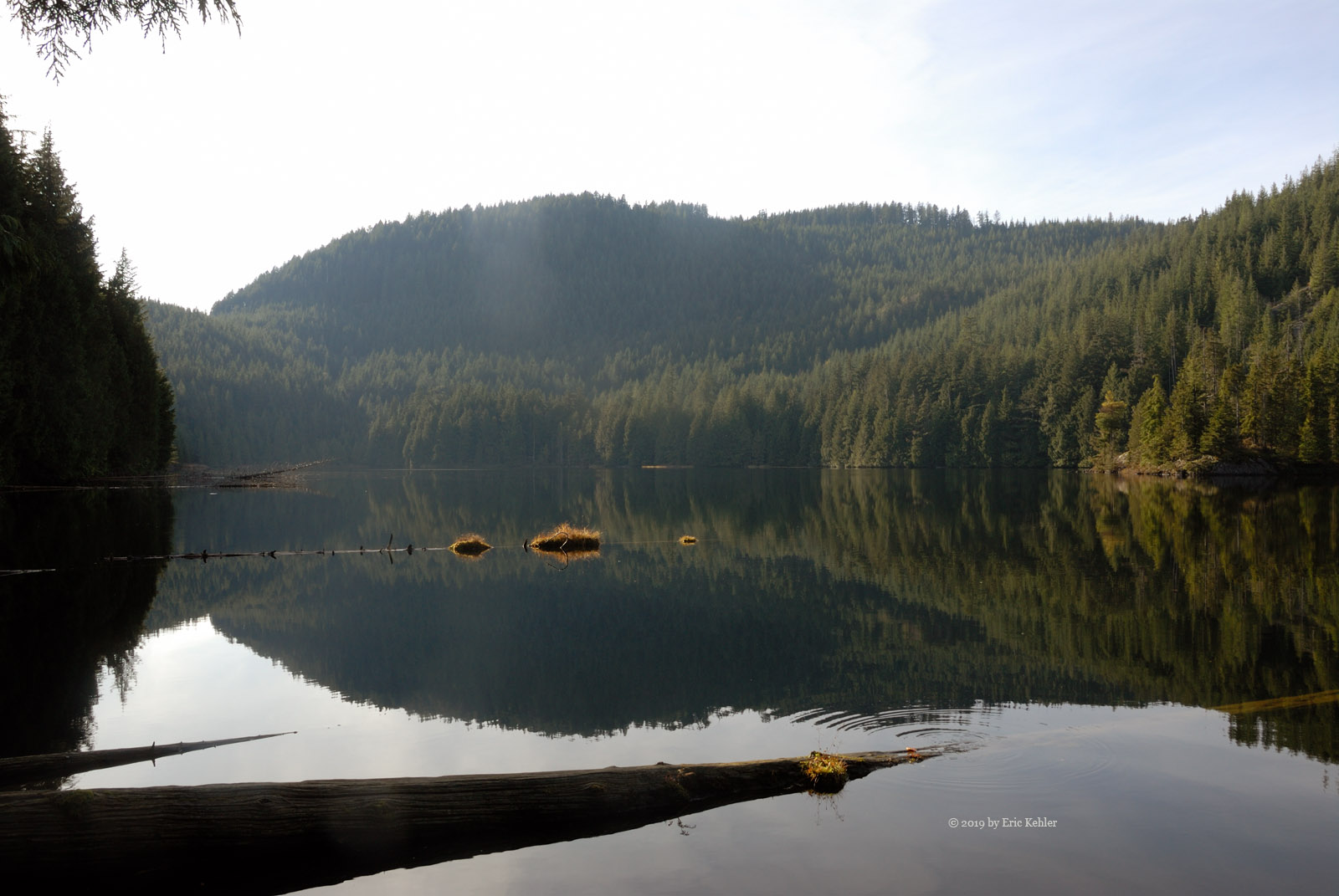
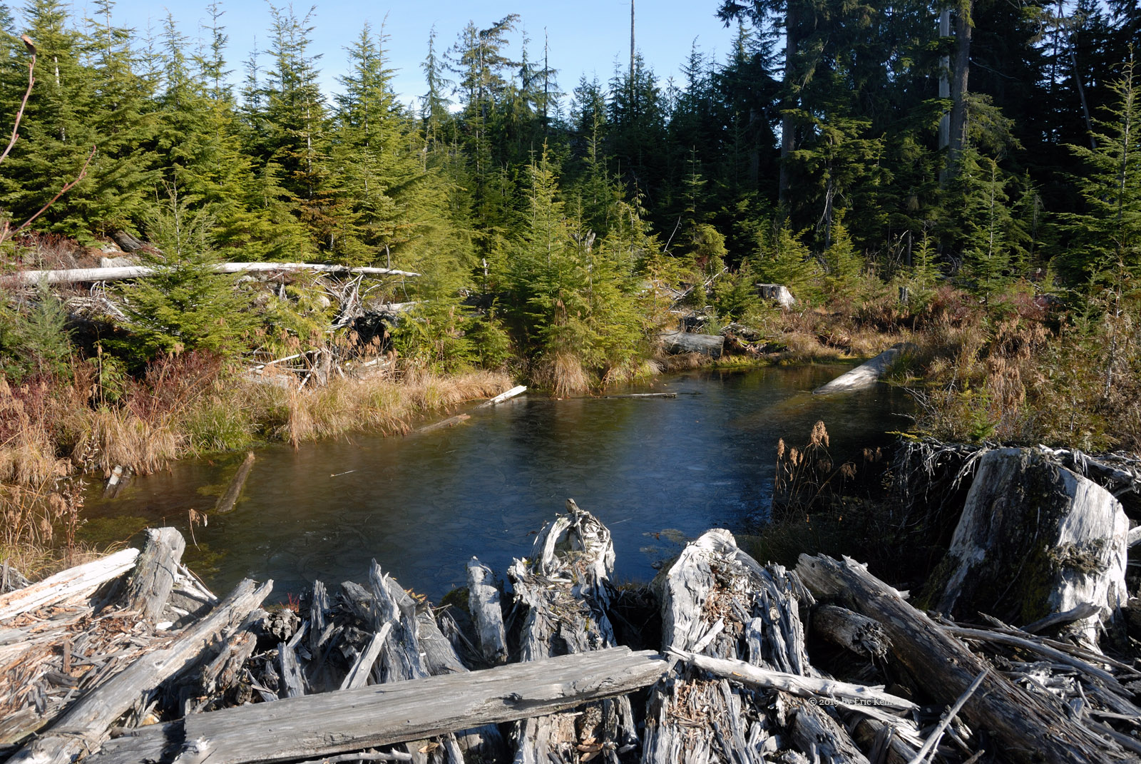
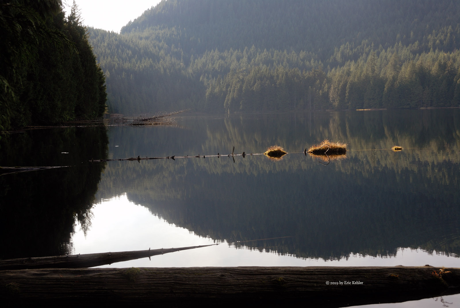
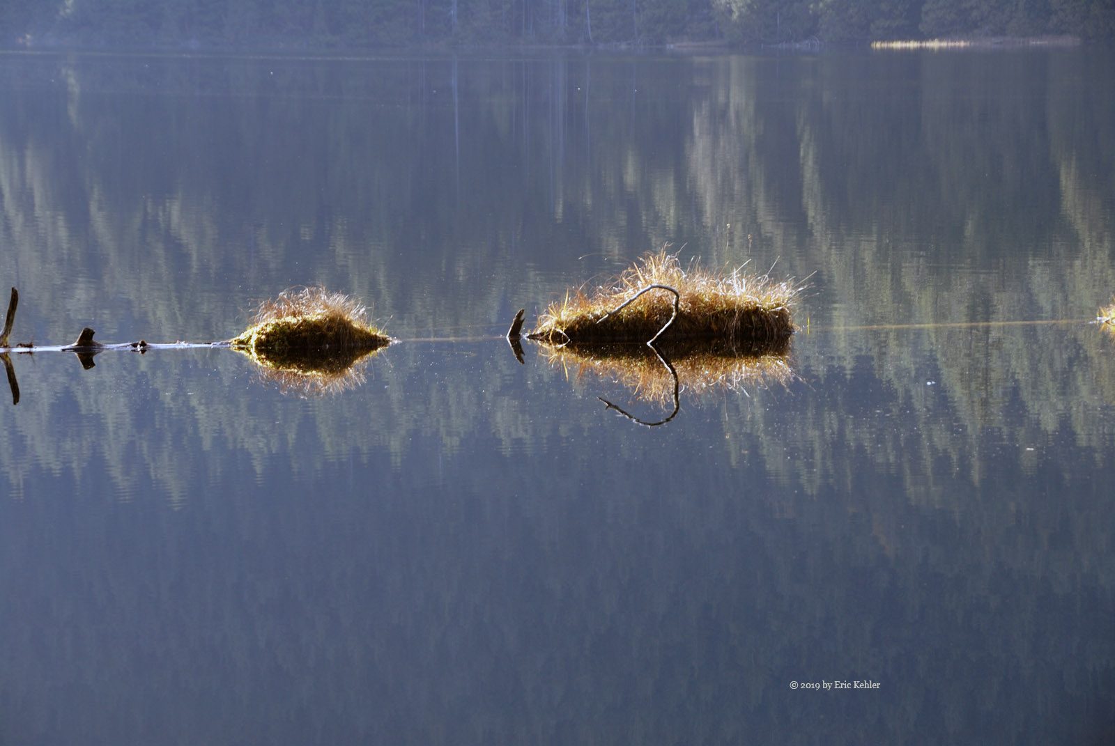
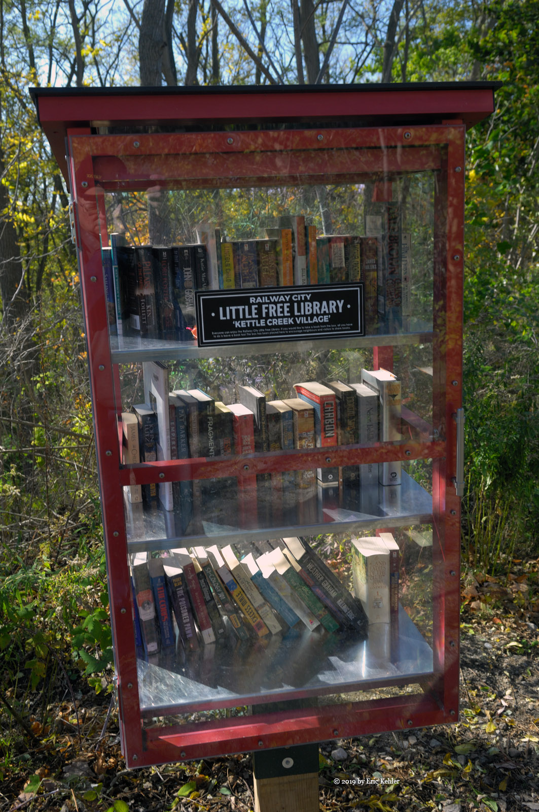
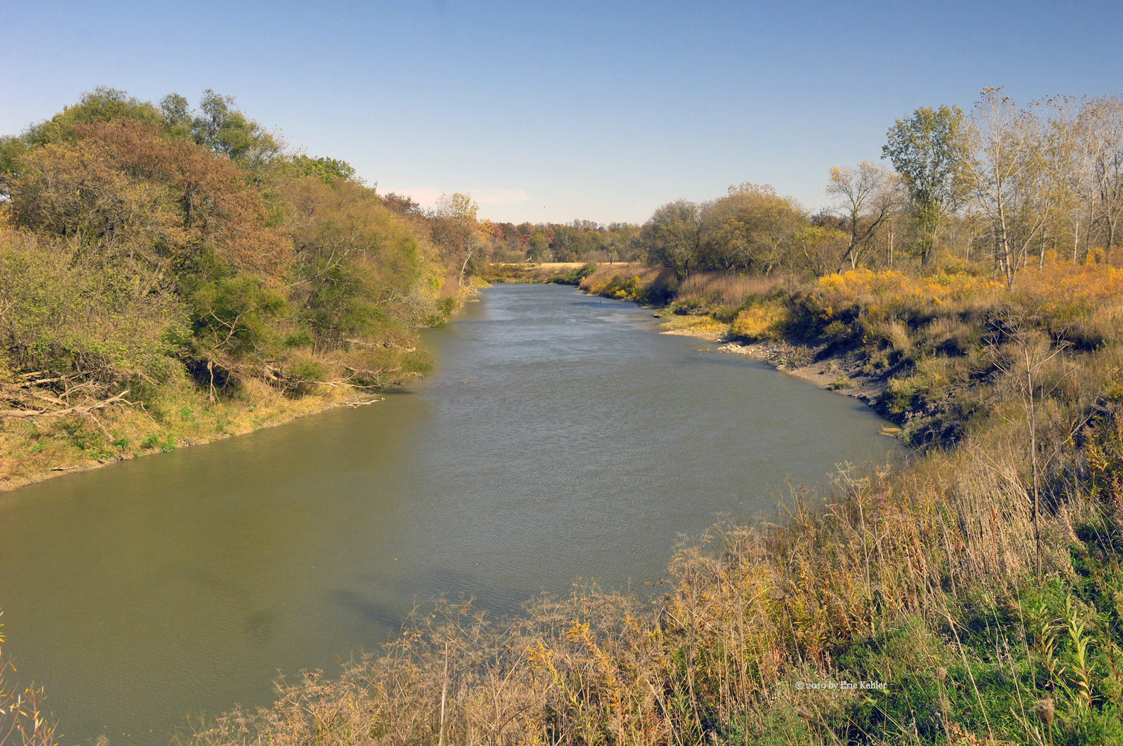
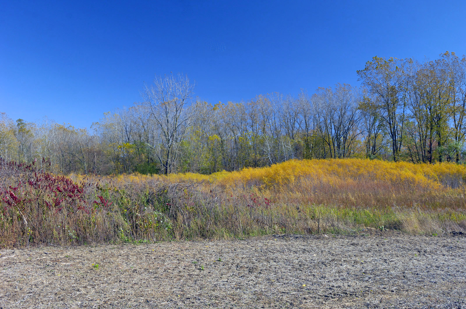
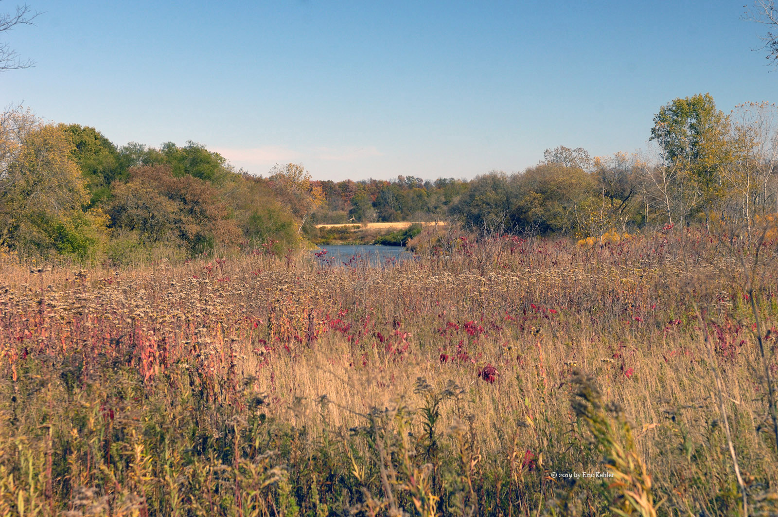
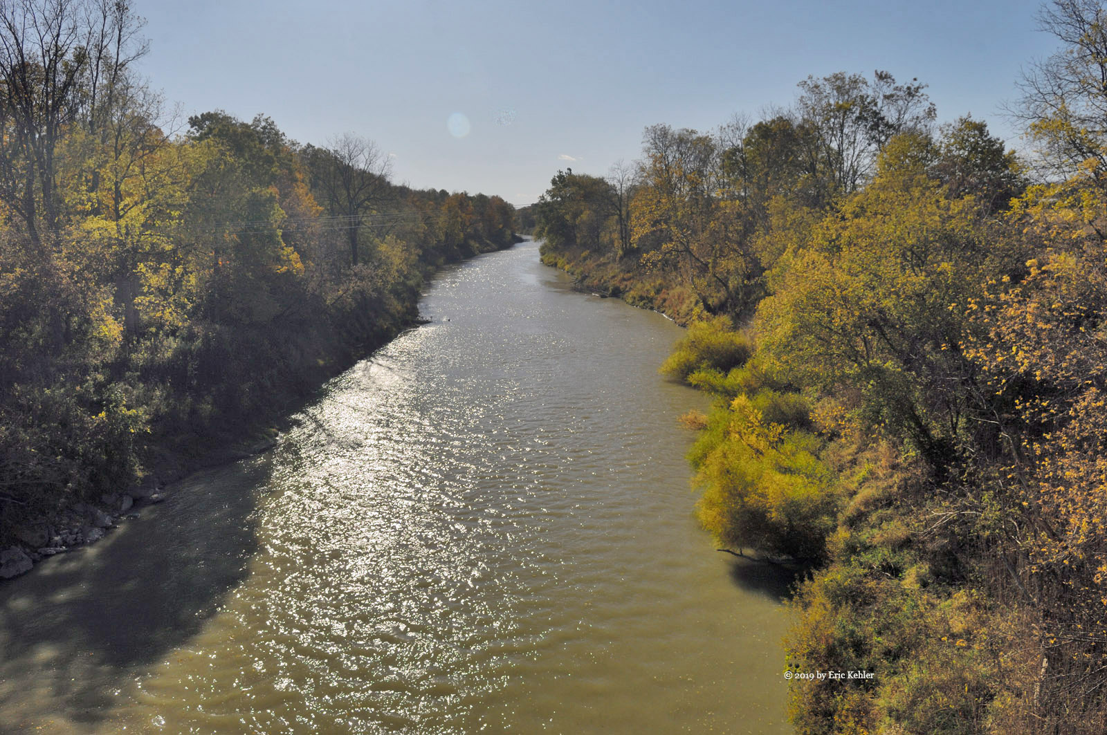
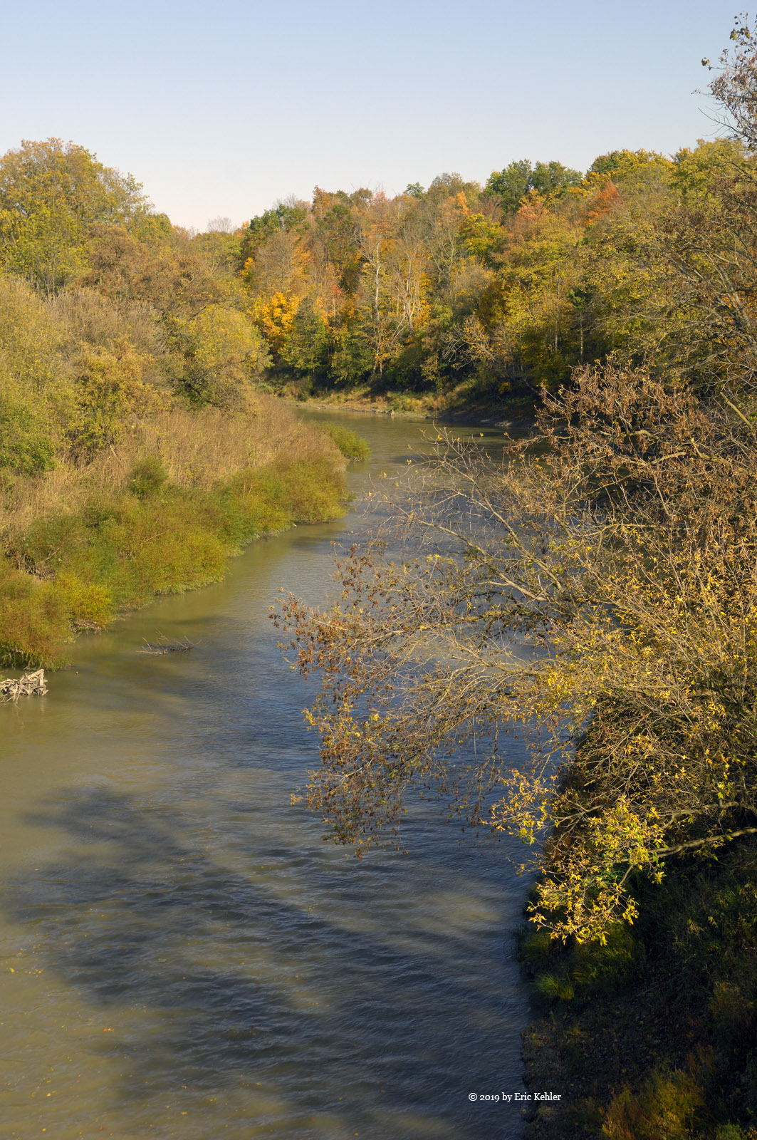
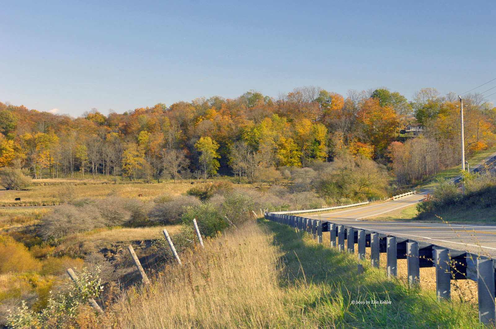
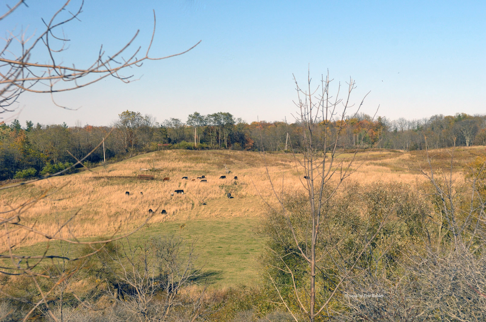
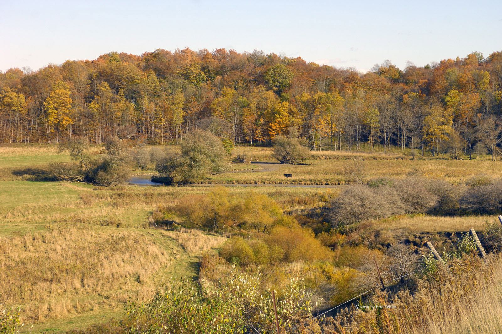
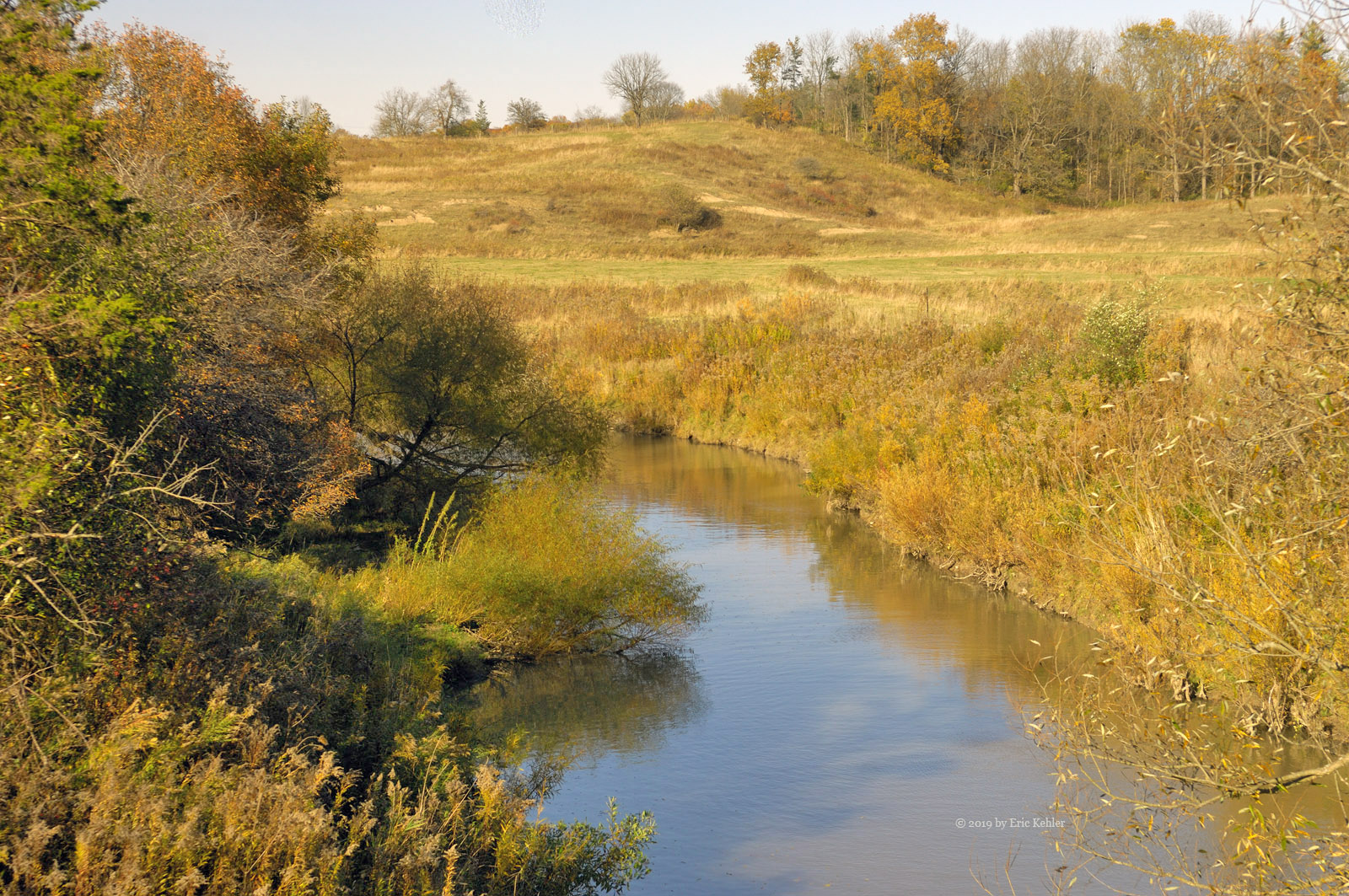
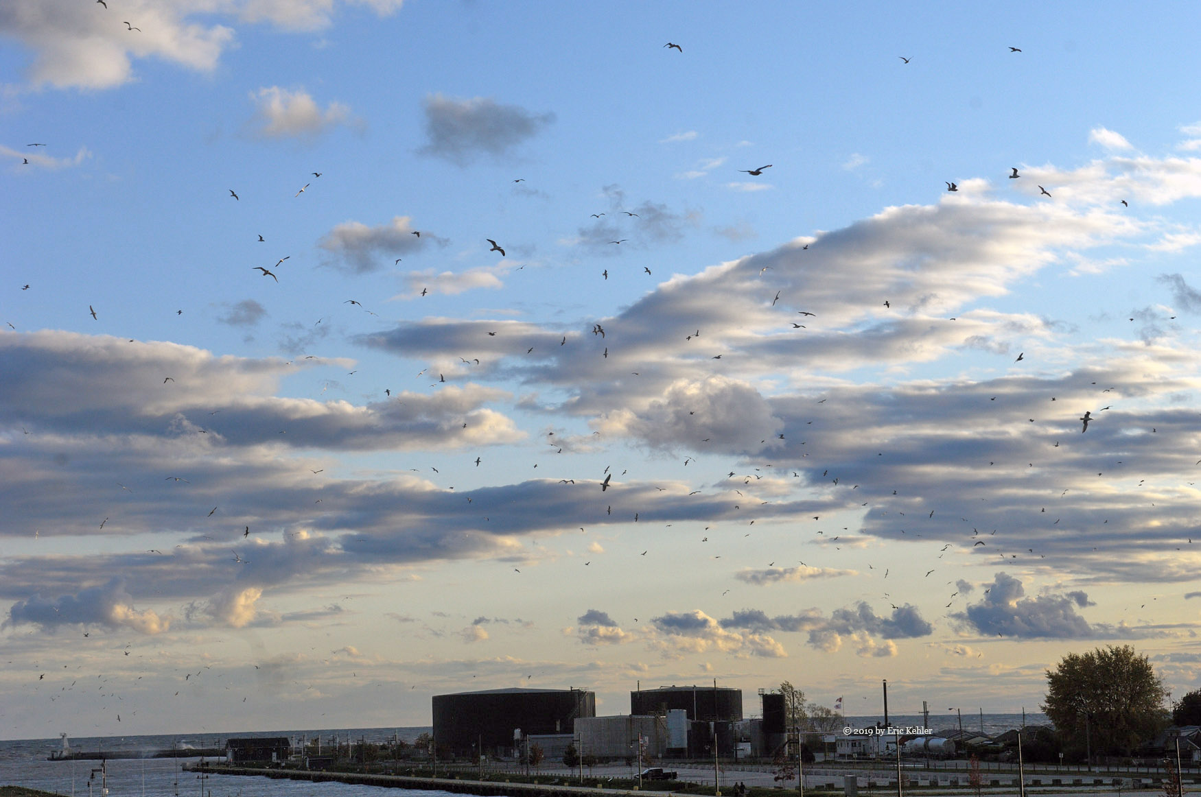
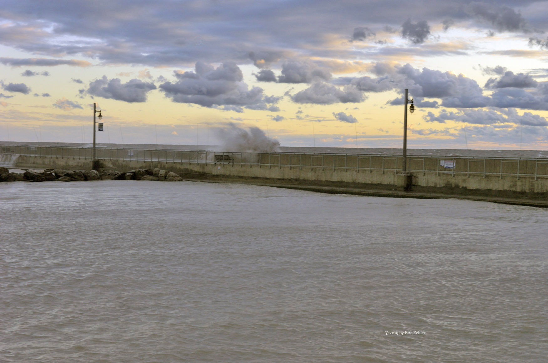
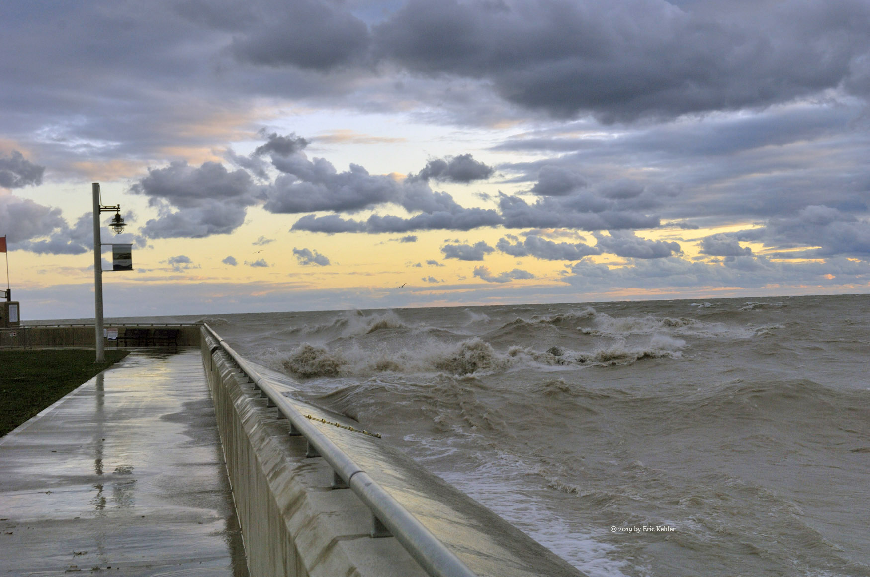
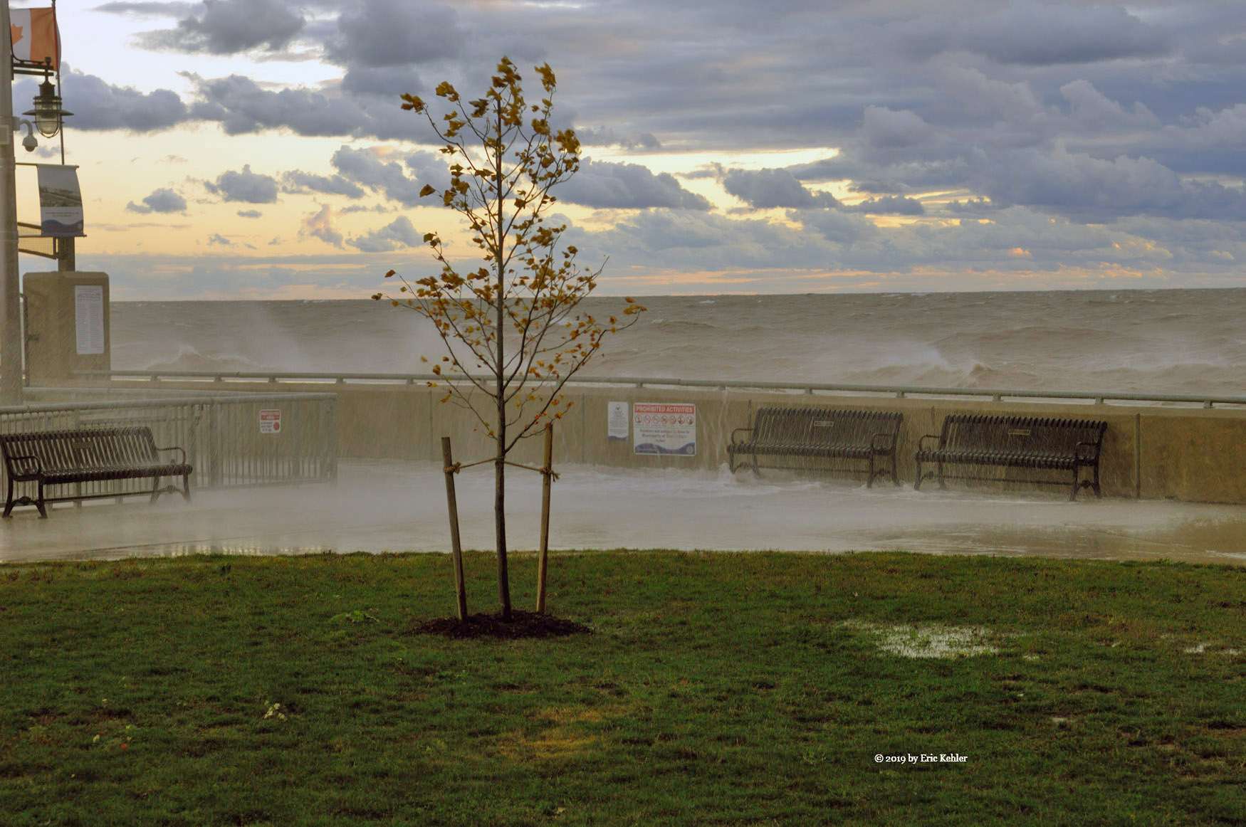
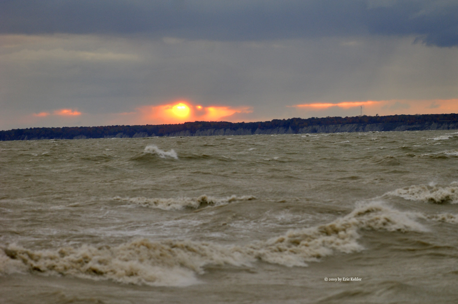
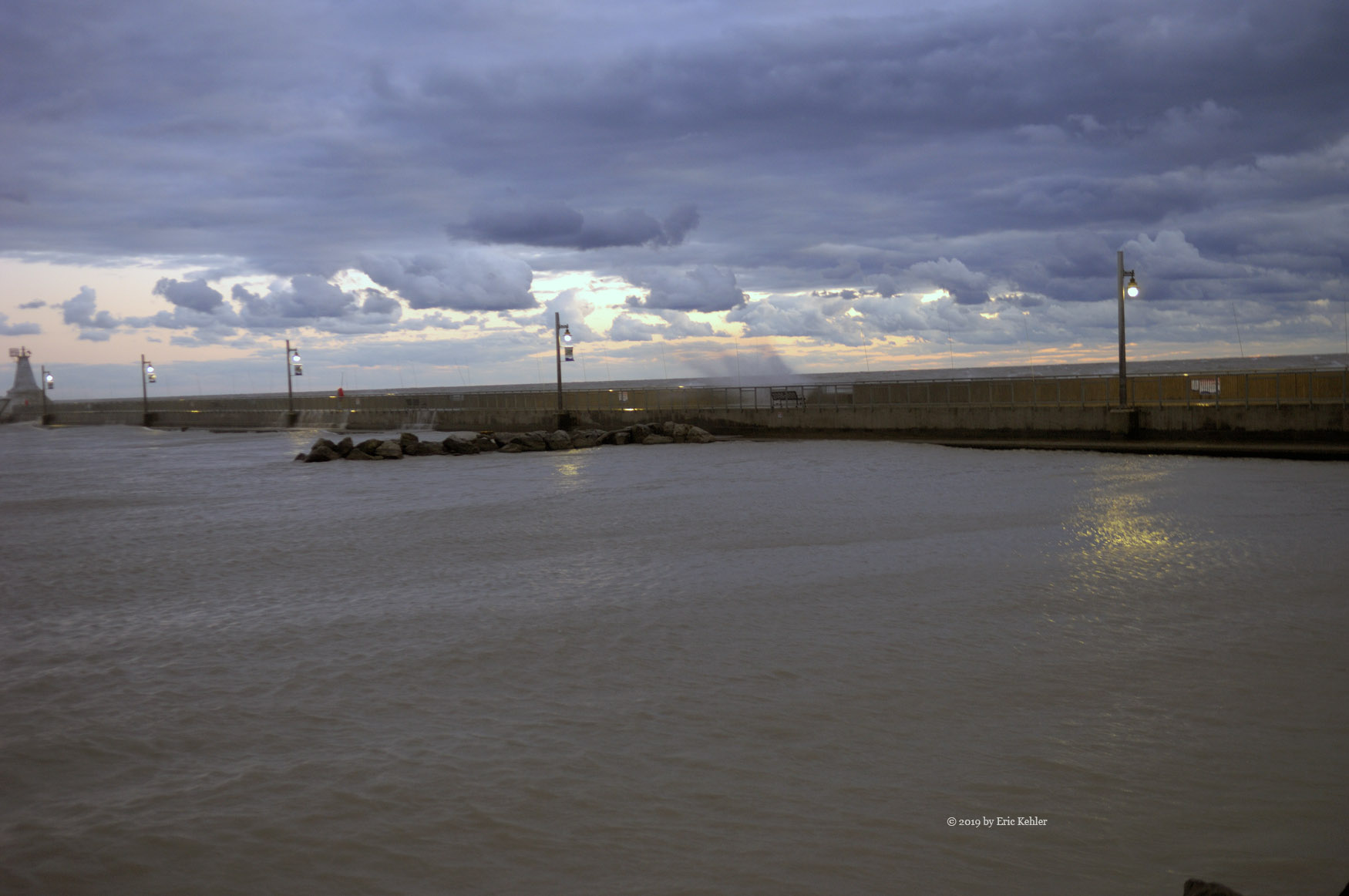
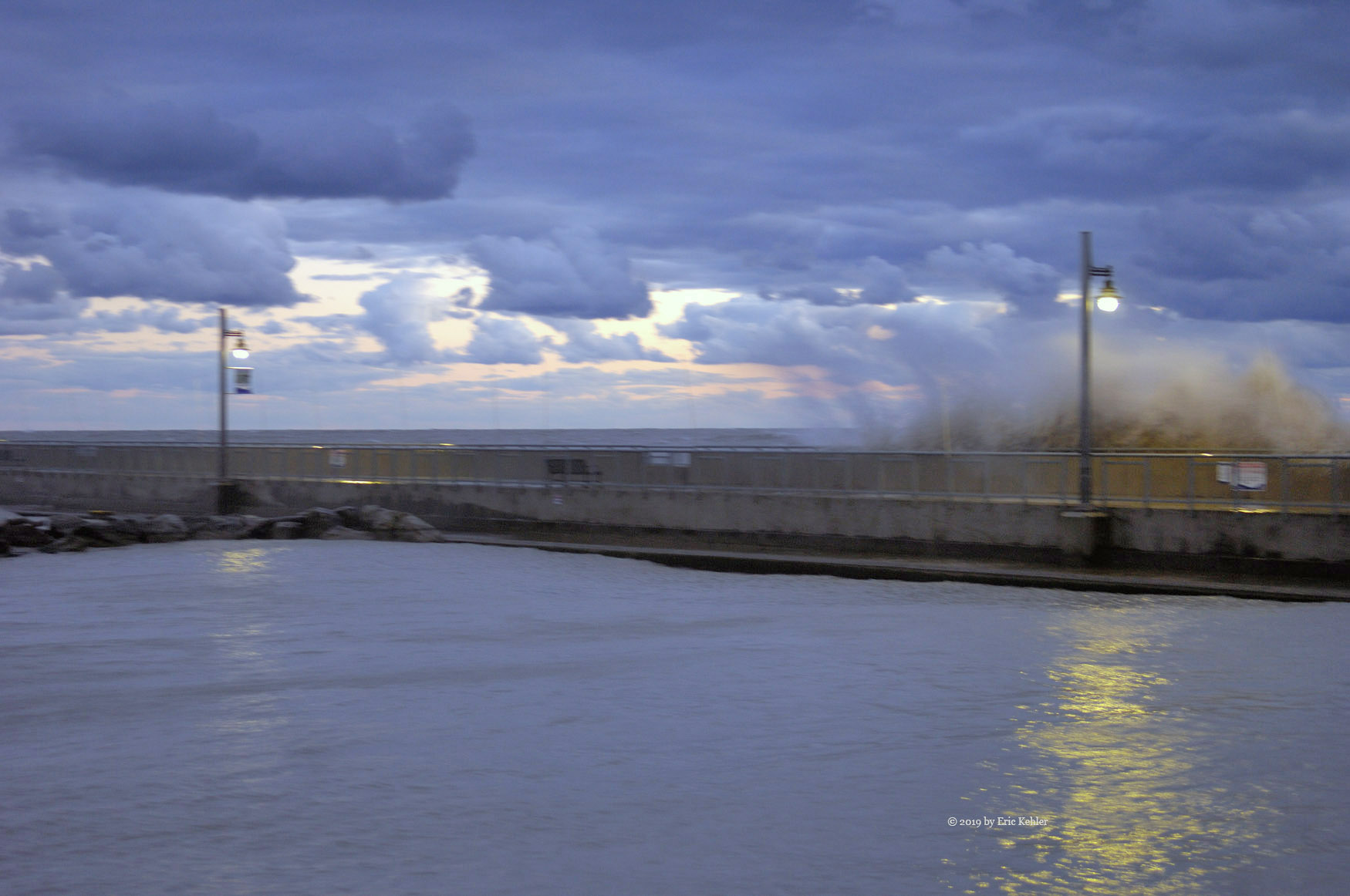
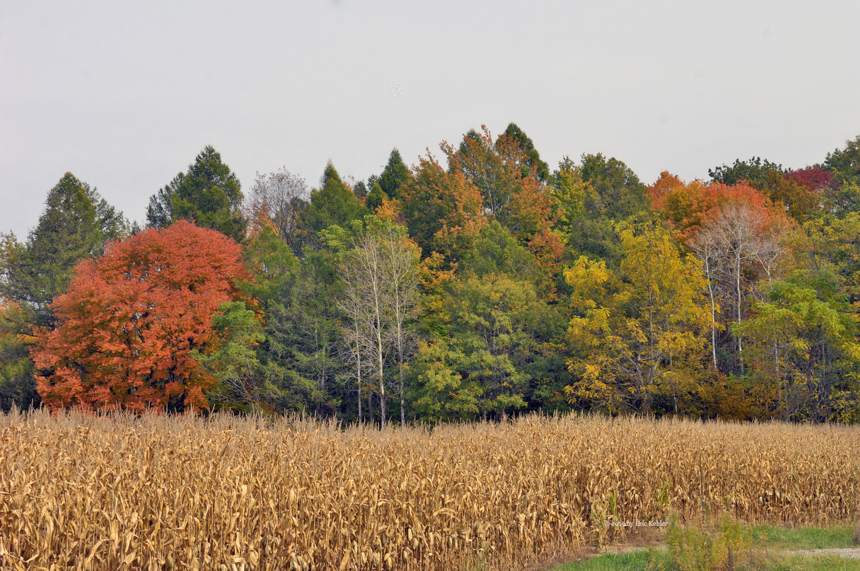
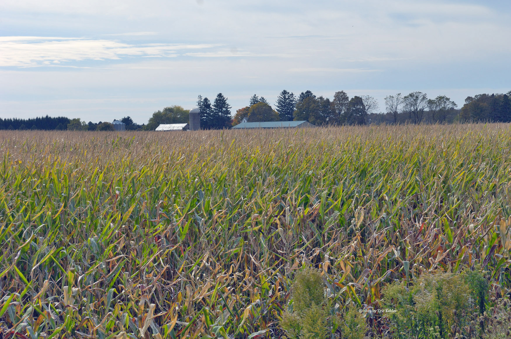
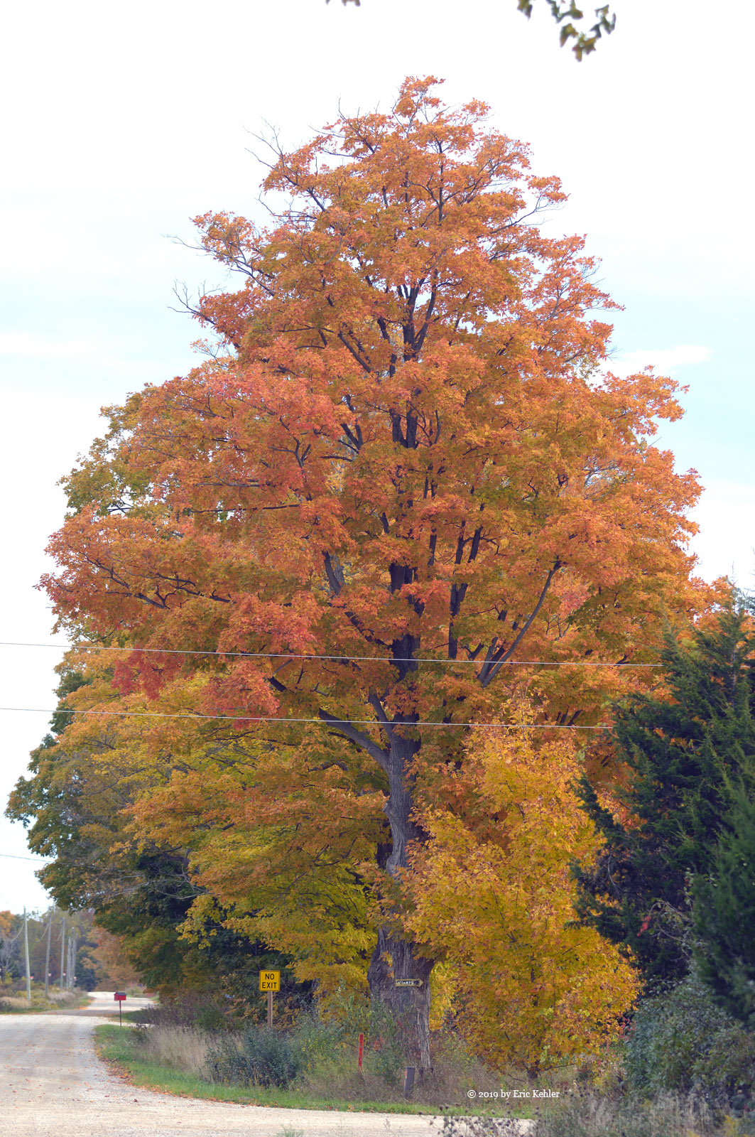
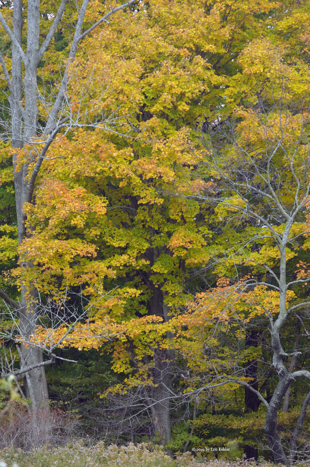
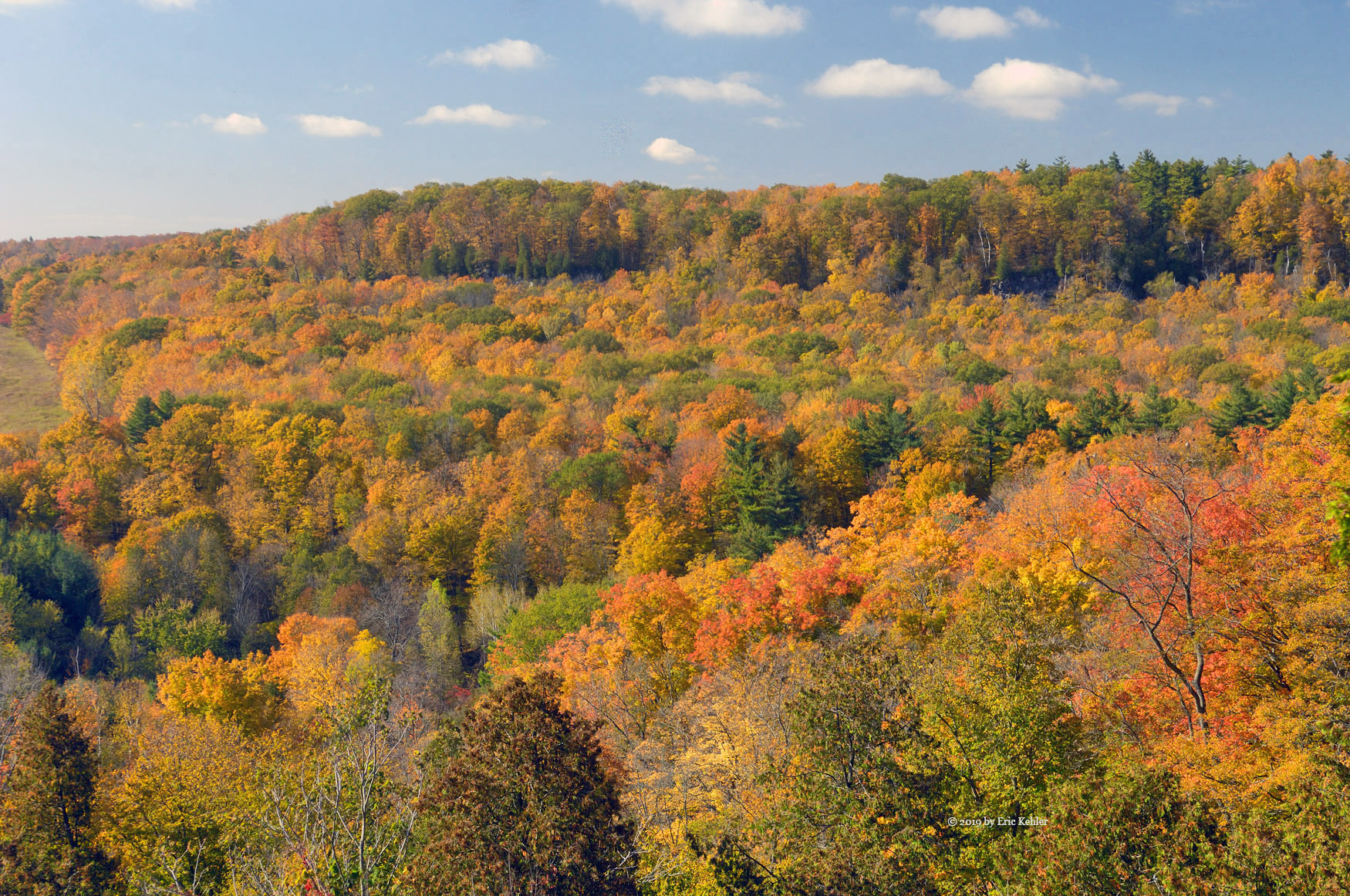
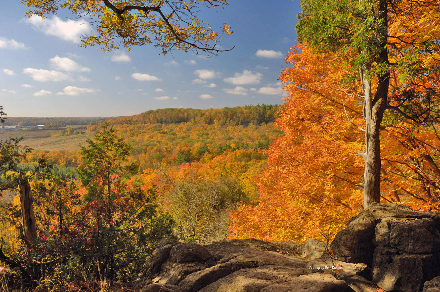
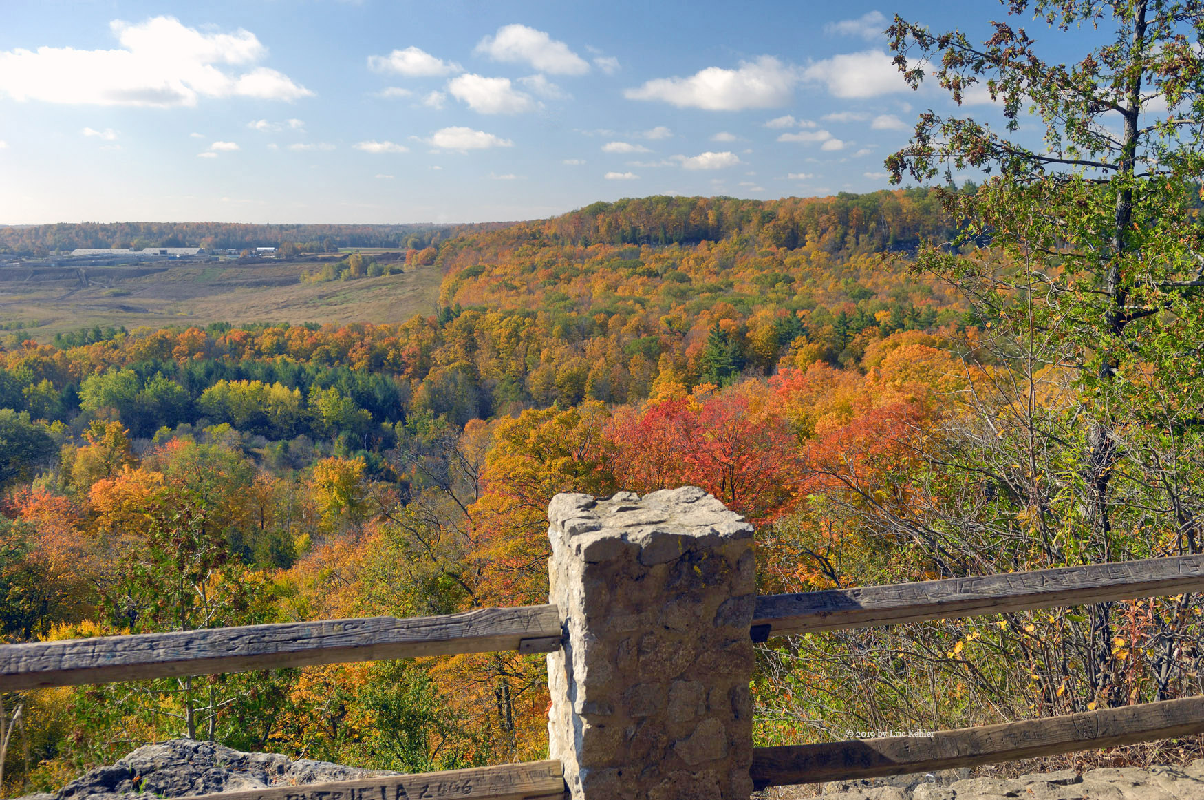
Once back in the truck we started back the way we came. I stopped to gather a few photos of a frozen pond and when we got down to the major road, we decided to visit Gwendoline Lake for a phot op. It was a very pretty setting and well worth the effort to visit. The final drive back to the gate went well though my truck was making a clicking sound while the 4x4 was engaged. So that will need to be looked into. The gate key unlocked the gate for us again and we were outside the forest, I gathered a few last photos before we started for home. It was a very pleasant day in the hills, the drive-up was very nice and we had some good success making contacts.


Kettle Creek Bridges (day 10)

We had all day to get to the Toronto area so we would have time on the day we left Port Stanley for some final picture taking of the local area. I had planned to spend some time capturing vignettes of the Kettle Creek but yesterday didn’t work out, so this morning was my last chance this year. It was unfortunate that the weather did not cooperate, and we had an overcast sky. But once packed and loaded into the he car I set off for the first bridge over the river – on Warren street.

I arrived at the bridge and found a spot to park and then walked to the bridge, it was not as colourful as I was hoping but I started to gather some photos only to fight with the auto focus of the camera. It wouldn’t lock. I had to resort to manual focus mode for the scene. After I returned to the car it was starting to focus lock again and was fine for the rest of the day! I guess it just didn’t like that location. Done with the first bridge I made my way to the second – a smaller single lane bridge where Sparta Line and Roberts Line join. Here there were much nicer colours and scenes to enjoy and so I took some time capturing the various angles and sights of the area.

I then moved on to a third bridge, Fulton Bridge, this was another single lane metal bridge and here I found a few more images that had some interest. Not as colourful as the second bridge but still it was interesting.

Done with the the three I had planned I decided to head on to the highway. We did pass a number of lovely bushes of colour, but the dull day hid almost all of it. So, I didn’t bother to stop. It will be a nice place to return to next year when the sun is out.

St Thomas and the River Thames (day 8)

It being Wednesday, it was the day when my wife Carolyn likes to go to the local kitting shop for the weekly knit in. She has been attending the many years we have come to Port Stanley and she was looking forward to her annual visit. It starts at 1pm so we organized our day to fit around the meeting. At 12:30 we got organized and we set out for St. Thomas. It was a lovely day though windy and we made fast time along the road through the clear skies. I left her at the shop and decided to visit the elevated park, which is in walking distance, to see if it was further developed.

Last year the park was quite new, and one could only walk half way along the trestle bridge. This year the entire span was open for walking though it is still not complete, one can cross the chasm below, the bridge is now part of the trans-Canada trail system. I walked across the span gathering a few colour shots of the Kettle River below. Being more complete it is now attracting greater numbers and there were over a dozen people wandering the trail or sitting on various benches enjoying the view and fresh air. It is a nice addition to the area.

Done with the park I decided to head north towards London and follow the Thames River for some distance to the west. I had travelled some of this route a few years back and was interested in finding a few angles of the river. So, I made good time along the main roads and finally came upon some back roads along the river. Most of the roads travelled alongside the river where there was a wide area of bush which blocked views of the water below. I made my way to the town of Delaware and turned onto Muncey Road which seemed to head back to the river.  Along this this road I found a few short road spurs that led to the river and some of which offered views of the river.

Muncey road also had a new type of stop sign which I had never seen before. If not for its colour and shape I would not have known what it was. ‘Stop’ was replaced with the First Nations word, Nookshkaan,  that I guess means stop! In coming out this way, I was also hoping to find a small cemetery I had spotted before where the grave markers were collected and placed in a large cement base. As the day wore on, I was beginning the think I would not find it, and after studying the map I was even less certain I could locate it. Except that as I looked up and to my left, I was starring right at the cement structure! Go figure, glad I wasn’t watching the map too closely.

I parked and wandered the memorial field; the river was not far below but again it was blocked by a field of trees and electric fence. I continued to road 8 and stopped at its bridge over the river. Here I found a number of interesting sights along the short segment of the river. On the one side I was able to get down below the bridge but the view was not as good as above. So, after getting my fill of photos I started heading back to the shop to gather up Carolyn. I took a leisurely return and found another creek valley with some colours and cows to capture. It was a tranquil spot with lots of interest. I could have stayed much longer but time was running out so I quickly snapped a few photos and continued on the road. Soon I was on the final road headed to the shop where Carolyn was now waiting. A pleasant day with not an overly large number of photos but it was a relaxing adventure which really is the whole point.

Port Stanley (Day 7)

It was a very windy day; the sun was out, and it was a bight one, but the winds were quite strong all day. Though it likely would have been a good day out capturing photos, I wasn’t feeling like heading out driving today. So, I stayed in the room reading and just enjoying the view from the room. Sitting on the balcony in the warm sun while watching the harbour proved to be a satisfying pastime.

Alas as sunset came, I felt an urge to walk about and capture any sunset images that may occur. So, I packed a couple lenses and set out along the walkway around the harbour. The wind was intense, but it wasn’t overly cool, so the walk was actually quite pleasant. As I reached the end of the harbour the wind strength increased, and I decided to store my cap for its safety.

The scene was lovely with the waves were crashing over the top of the final bit of the causeway that leads to the lighthouse. I stopped to gather a number of high waves as they doused the walk. Some were higher than the lamp stands. As sunset came a few others gathered to photograph and video the waves. Some got a bit wet from the spray, including myself. At least it is fresh water not like spray at home! Soon the last moments of the sunset came. It was quite overcast and there was only a brief moment when the sun was visible below the clouds and above the horizon. Not an overly great sunset but still it proved interesting with the rough waves.

Once the sun was gone, I refocused on the causeway and with the lights now coming on, I had some interesting new scenes to enjoy. After a few more images I packed away the gear and casually walked back along the walkway. A short day but it had its own beauty demonstrating the power of nature.


Roberts Line and Port Bruce (day 6)

It was a cloudy morning though the sun was bright it wasn’t the best day for colour shots. Still, I wanted to get out and see some sights lest I while away my time and not find anything while in Port Stanley. I was tired of the same old-style photos so this trip I was determined to look for some new aspects to the old scenes and with that in mind I set out for one of my favourite spots – Roberts Line. It isn’t far from the Inn and so I made quick time to the first location on the road. The clouds were hiding the sun enough so that the colours were quite muted, but I stopped to try to eke out a few images.

I gathered a few across some fields and then concentrated on a small pond that has colourful trees surrounding it. It really was still quite pretty despite the lack of bright sun. I found the weeds along the roadside to have some interesting appeal to them and I ended up taking a number of photos of the weeds. They really were quite colourful in their own right.  Done with the pond area, I continued east heading towards Jamestown where I found a few large trees along the road that were in full colour.

The Jamestown area had a very lovely forest across the fields which offered lots of photos. I was actually more interested in the weeds in the field between me and the trees. The trees offered some nice back drop to the weeds, but my main interest was actually the field. I continued along the road and stopped next at the beach in Port Bruce. Here the colour was in the distance but the grass alongside the shoreline was interesting and offered some nice textures against the distant colour. I found a few pieces of driftwood that caught my eye and I tried a number of angles with it as my focal point.  The wind was blowing so the grass wasn’t great for close-ups but I was able to get a few shots that caught my imagination.

By now noon had come and gone and the clouds were getting thicker, what had started as a bright overcast day had become a dull one. So, I figured it was time to head back and enjoy a few hours of reading and rest while I watched the activity in the harbor. I did feel I found some alternate interests to the basic tree picture so in the end the day worked out well.

Rattlesnake Point (day 4)

Mike came by a bit earlier today and we started our adventure thinking of a spot to visit. We thought we would do the waterfall area later and so a new place of interest was needed. Last year we quite liked the bluff edge at Rattlesnake point so we decided to head for there and see what colour we could find. We made fast time along the highway and then along Appleby road to the escarpment. The road up to the top was quite narrow and twisty but we were soon up and looking for the entrance to the conservation area. We turned in and found a couple cars in front waiting to pay their entrance fee. After a brief wait we got through and started for the lower parking area.

The lower area was full of cars, it was a popular spot this morning. We finally found an open spot near the restrooms and there we parked and got our selves ready. We made our way through the parking to the short trail leading to the cliff edge. At the edge Mike stopped to take a phone call and I realized I had once again forgotten my polarizing filter. I dropped my gear with Mike and zipped back to the car to get it. I also dropped off my outer jacket as it was already getting warm. Back to Mike and I gathered my first photos while he finished his call. Then we slowly wandered along the trail as it skirted the cliff edge. We were walking in the westerly direction and found a number of lovely spots to gather a few photos. After a slow walk with many stops, we finally reached the far end of the main area and there we gathered some final images along this way. I stopped to chat with a rock climber who had just deployed a rope over the cliff. Once Mike had completed his collecting of photos, we took the trail further from the edge for our return. We walked quickly back to our starting point, the trail through the trees was very pretty in its own right and we did gather a few more photos.

Next we walked the eastern direction to the Trafalgar Point area. By now the numbers of people had increased, I guess this direction is more popular. We didn’t find as many viewpoints this way but even at the ones we did the colours were now more muted as the sun was directly above us. When we reached the view area we stopped to gather pictures and then we climbed down the stairs to where we could climb out onto a ledge on the cliff. I opted to not climb up as my dislocated shoulder would not appreciate the strain yet. I did get a couple pictures of Mike up on the ledge. Then I dropped down to the base of the vertical a section where a trail made its way along the bottom. Here there were numerous groups of rock climbers organizing their climbs.

The first climbers we came by were a young couple. The chap made his way up first pulling the rope and setting some clips securing his rope. Once at the top he dropped down and his partner started her way up. It looked like a lot of fun and not overly difficult. But the closest I got to climbing was with chatting with them. My shoulder certainly wouldn’t want any part of that.

After watching the climbers a while, we returned to the top and wandered to the next viewpoint and then returned along the trail. The place is certainly popular.  There was a chap offering rock climbing experiences for thirty dollars that looked inviting. Once back to the car we pulled out noticing that there were a few more open parking spots than when we arrived.  We followed the road to the top lot and exit. This lot was packed full of cars and there was a backlog of 15 cars waiting to pay to get in. More arrived as we drove out!

Being past lunch, we decided to head for the small restaurant in Lowville that we enjoyed last year. It was once again a very enjoyable meal. After lunch I was feeling quite tired, my earlier than normal start had caught up to me and I wasn’t up to more adventure. So, we drove back to Burlington and there we did stop for a break visit to the beach on the far western shore of Lake Ontario. The wind was very refreshing. A short drive further and I was back at the hotel where I could get a brief snooze before heading out for dinner. A lovely visit with lots of brilliant colours. The waterfall will have to wait for my next visit.


Dundas Point and Smokey Hollow (Day 3)

Our day began with Mike arriving to pick me up around 10:30. We loaded up my camera gear and ham radio into his car and we made for Webster and Tews Falls. I thought that the Spencer Valley Gorge would have some nice colour and now that the sun was starting to emerge from the clouds it would be a lovely spot to find some bright colours.

We set off for the highway and the Ancaster area where we could drive up to Dundas and the parking lot for the gorge. We made good time on the road but as we approached the escarpment, we were stopped by the road being closed for construction. We had to check our maps for the next road up to the top. That took a few minutes but soon we were climbing the escarpment and looking for the road to the Webster’s falls parking lot, there we would park and walk the trail to Tews and on to the point. We passed the Tews parking area and made our way to Websters where we paid for a parking pass and then gathered our gear for the walk.

As we left the parking area, we were treated with a new fence that closed the trail to the other waterfall. It seems that the trail passed through private property and the owners had finally had enough of the discourtesy of visitors that they put up a solid fence closing off their property. It was a shame but nothing we could do anything about. So rather than walk to Tews we had to drive to the other parking area. This was well over filled and the grassy area beside the parking area was now serving as an overflow area. It was muddy in the middle and a car was stuck with people helping to push it through the mud! Mike was fortunate in that he remembered that there was another entrance to the overflow area at the start of the area and on higher drier ground. So, we drove back and quickly found a parking spot.

Done with parking, we made for the trail and were soon walking towards the falls. We ended up walking the length of the parking area twice as we didn’t realize that the trail actual doubles back alongside the parking lot.  Once we got to the viewpoint overlooking the falls, we started to have some nice colour and views to enjoy, at least what we could see through the crowds. I gathered some photos and then we continued along the trail to the point. Mid way we dropped down to a rock ledge that juts out into the gorge and offers some nice views of the Tews falls. We met a pair of guys who were making their way to the bottom. Their first route ended in a cliff so they had to resort to the simpler path that had a rope to help.

We continued to the point where we spent time taking in the colour and grandeur of the location along with dozens of others who were enjoying the day. Then it was back to the car to look for a place to eat lunch. Mike thought of driving to Waterdown and so we made straight for there. The area was vastly built up from what Mike remembered but we made our way through all the new malls to the older part of town where we found a place to park so I could try contacting Ralph at home via amateur radio. I tried a number of repeater sites but most I couldn’t reach and those I did were not responding on IRLP so I wasn’t able to call him.

Done with radio, we found a spot in the old town for lunch a nice little soup and sandwich café -  Jitterbug . It was quite nice and we both enjoyed the food there. Our next stop was at the Smokey Hollow Waterfall. Here we found a stairway to a view platform above the falls it was a nice view but it wasn’t overly scenic. On our way back Mike found a route along the creek to where it dropped down and gave access to the creek. From there we scrambled back to the waterfall gathering photos. It was a nice spot with many scenes to capture. A few others had also walked the creek and were busy taking photos as well.

It was now getting on and we had to get back. We thought that it would be a nice spot to revisit perhaps tomorrow. The drive back to my hotel went fairly quickly even despite the Friday afternoon traffic. A very nice day taking colour photos and waterfall pictures.

Subscribe to 2019