
2019

Mount Agassiz in April

The week earlier was our original date for hiking the mountain but it ended up being a wet morning and being the fair weather hikers that we are, we stayed home (in bed?). So along came the next week-end and it looked to be a lovely day though there was a chance of some light rain up the valley. Ralph came by at the regular time and we were off to the start of the logging road. We planned to double dip on this trip and once done with the hike we were going to do some scouting for our field day location as we backtracked along the forestry road. The initial drive went smoothly and we made better time this week as the traffic seemed a bit lighter.  On the road I remembered looking up at some of the mountains we were passing and commented on what appeared to be a whiteness near the top which I thought was odd at the time.

The drive along the forestry road was quite fast, we encountered only a single atv and motorcycle heading up just ahead of us, otherwise the drive was solitary – so nice. We soon arrived at our parking spot and where we would delve into the trees for the summit. By now there was a bit of freezing rain falling leaving us covered in a bit of white stuff, but it was light and we felt we could ignore it as it would likely end soon. Once into the trees I started following my old gps track and tying some markers to trees as I passed. By now the snow was coming faster and the ground was turning white even here hidden in the trees.  We pushed on but the ground was covered and picking steps on the thick mossy floor was getting a bit challenging. Soon the whole slope was white with little visibility and we were both getting cold from the snow which was piling upon us as much as on the ground. So after having completed about a third of the distance we decided to abort and head back to the truck. It was now harder to find ones way but my marked trees did help a bit.

Back at the truck we noticed that everything was buried in snow/hail an inch deep! The area had transformed from a spring day to a winter one in a few minutes. We quickly got in to the truck and got the heater going to warm up. We missed the activation but next on the agenda was scouting for a field day location. From Google Earth I had picked a spot further along the ridge, so we set out for that location to see if it was as nice as it appeared. Along the road we came by a fallen tree which was blocking the way forward. I felt we could pull it, so I attached a chain and tried pulling the lower end but it was hung up and didn’t move. So I decided to try to pull off the high end but this needed to go the opposite direction so the snatch block and winch would be required. This attempt worked well and we soon had the log off the road.

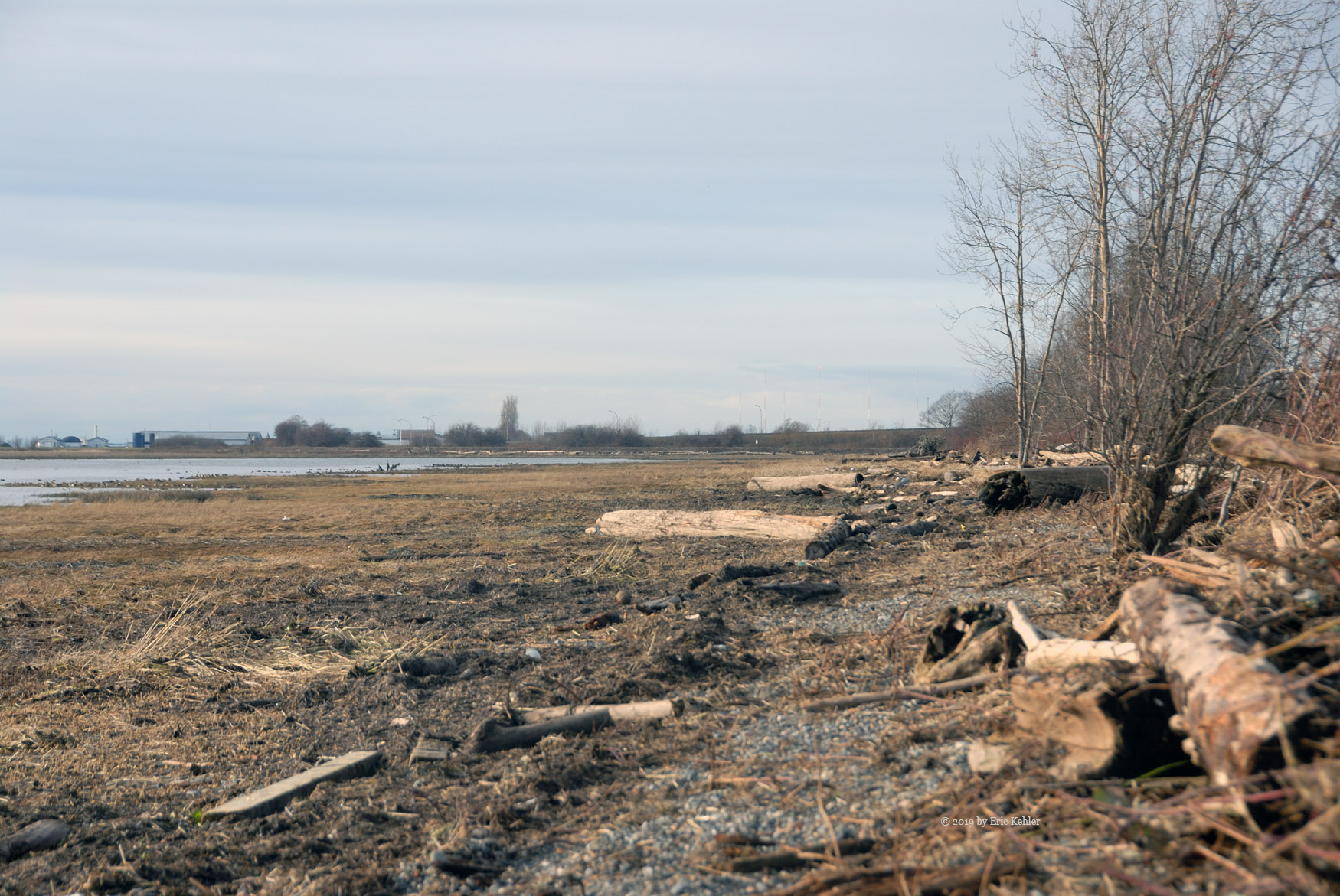
Continuing on to the chosen site left us disappointed as what looked open to the south on the map proved to be blocked by a rock wall in real life! So that site would not work for us. By now the hail had stopped and we were starting to see some patches of blue sky; everything was looking more cheerful.  Since this spot was not workable we back tracked a bit to side spur and after pushing another tree aside we came by a decent location. It was around 1pm so we decided to stop to eat some lunch. After eating we noticed that we were now overly close to the high voltage transmission lines and we were concerned how it may impact our radios. Being hams with gear we decided to test out the reception, we stretched out an antenna and my KX3 and checked the bands. It seemed to be reasonable but we were still uncertain.

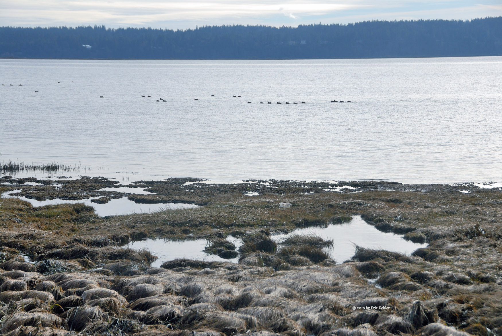
Having found a workable spot we decided to start back for home but we were still going to review every option for an alternate location in case a better spot came by. We did get out and evaluate a few spots but most had too much blockage to the east which is what we required. We finally came by a longer spur down the south slope of Mount Woodside but after driving it a short way we decided it dropped down too far and so we returned to the main line and continued out. A short distance along we looked down the slope and saw that spur, it actually looked better than we first thought so we decided to return to it and drive further along to the spot we saw from above.

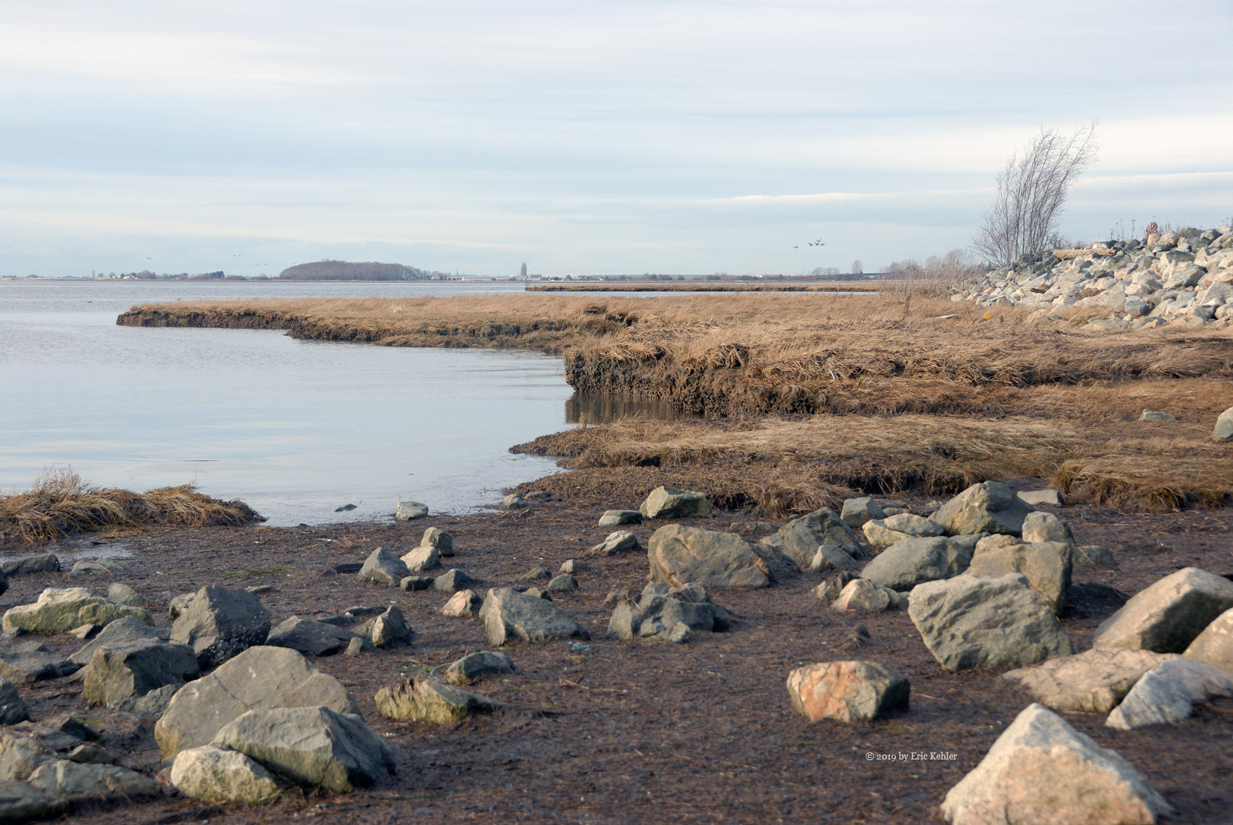
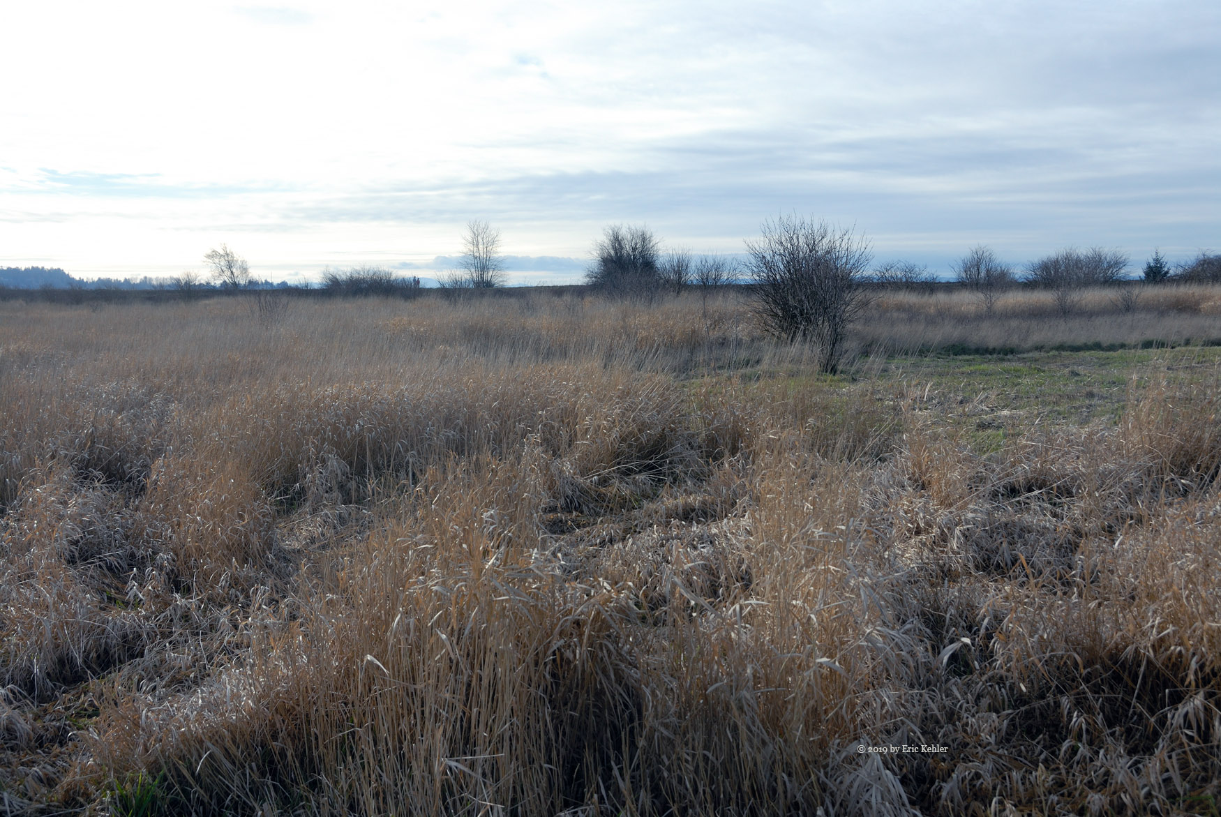
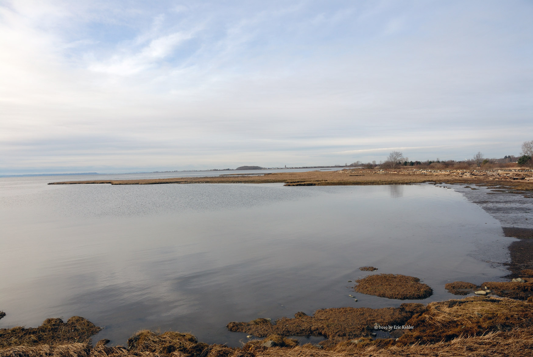
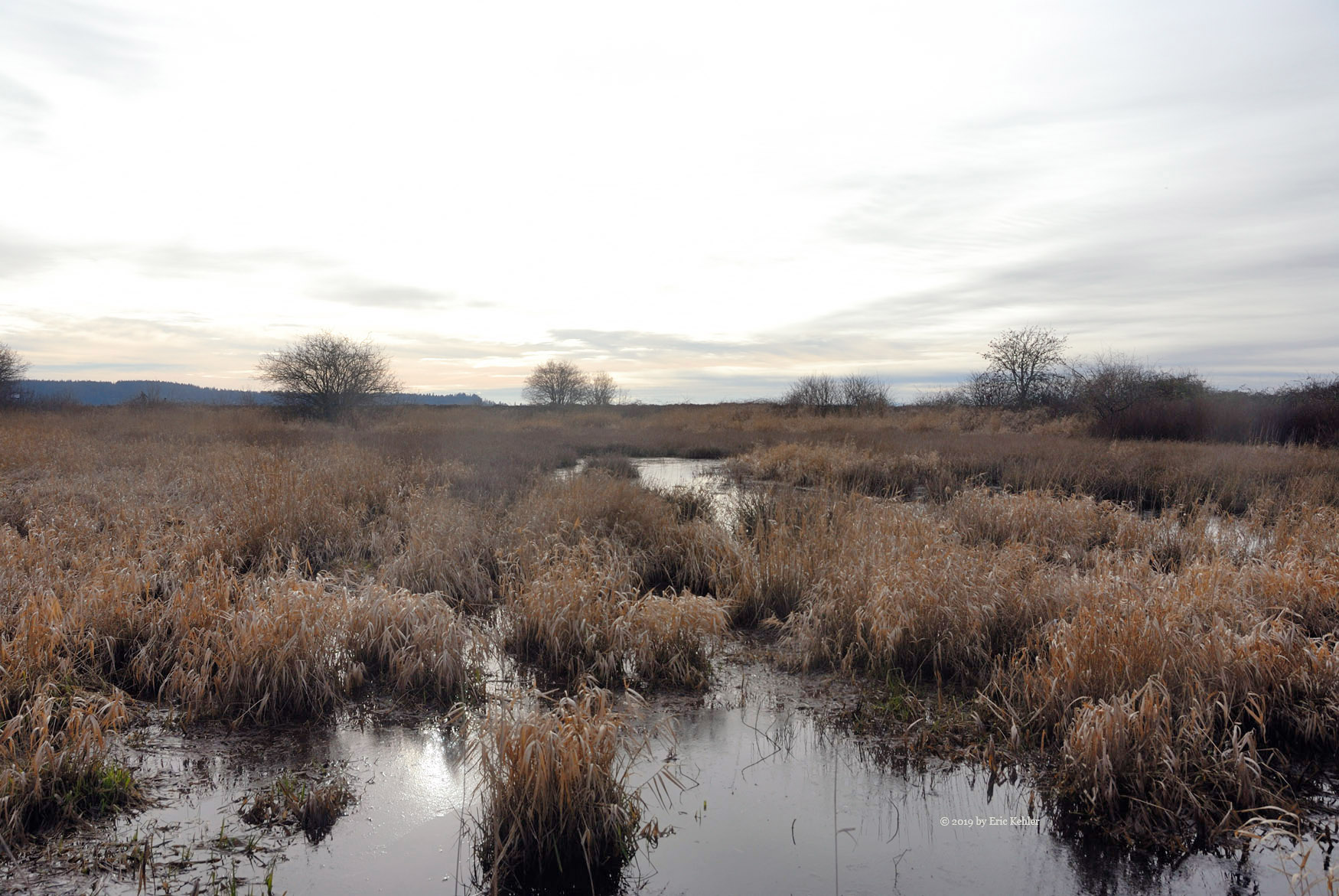
The spur did drop a bit but it wasn’t that low and we came by a section along the road that fit all our demands. The sky was open to the south through east and would work for field day. The view was lovely and there were sufficient trees to attach antennas to. So this spot became our first choice for an operating location for field day. Now for a bit more planning of antennas and food and we should be ready to return and make a few contacts in late June.

Well we missed the summit and making contacts but we found a nice location for field day and by now the sun was out and the white stuff melted so it was getting warm and pleasant.   I will need to come back and activate this mountain later this year.

Mount Woodside and the True Summit

Tount Woodside is one of the few summits where one can drive to the top and be in the operating zone for Summits on the Air.I have driven to the top several times and was looking forward to a return visit. The official SOTA peak location is vastly different from where Google Earth shows as the summit, so it was a goal for today’s trip to explore the summit and confirm the true location. I had hoped to head out a week earlier but the weather got in the way and I stayed home and did some yard work. Today the weather was sunny and pleasant, so off we went.

Ralph arrived at the house by 9:30 and we quickly loaded the truck and set off for a coffee, fuel and the start of the logging road. The truck needed a good run as it has been idle most of the year so far, it was up to the task and we made good time to Woodside. At the start of the logging road I switched the truck into 4x4 mode and we started up the rough road. I was concerned that we could be stopped short of the summit due to snow which may block our way up. The ski hill webcams were still showing snow at the 950m level which is where we would be. So as we drove up the road gaining elevation I was ever the more anxious as to what would be around the next turn, seeing numerous flows of water didn’t ease my anxiety any.

When we came to the final fork we still had seen no snow and I was now feeling much better, shortly into the last road segment we met a hiker coming down from the summit, that in itself was odd but we just continued up. The one advantage of doing the drive in April is the lack of leaves on the alder. The road was getting encased with the alder trees and being bare at this time made it a bit more open and easier to pick ones way along the road. Even so, we still managed to hit one tree hard enough it bent one of my antennas.

As we continued along the final road we did finally find some snow. There was a small patch of packed snow on the road but it only covered about a quarter of the road width and was easy to pass by. A second smaller patch was soon encountered and then we popped out from the alder tree tunnel and we were at the old abandoned radio site. We parked the truck and decided we would search for the true summit before operating, so we set off to the south with our gps’s in hand to locate the Google Earth summit location. We had around 250m to where the indicated spot was and that was through a forested area. Fortunately, only a short initial section had close packed trees, for most of the way it was open forest which made travel fairly easy.

I followed along the ridge keeping the higher point in view as I made my way south. The GPS location for the summit was still south but somewhat to the west. As I closed in on the highest point I could see that the Google Earth location was about 80m to the North-west of the highest point and that location was actually in a dip quite a bit below the true summit. So I marked the high point on the GPS and went to confirm that the other site was indeed wrong, then we started back to the truck for some radio fun. The location indicated by SOTA was quite far from the summit, at least the Google spot was reasonably close, so the SOTA database will need to be updated.

Ralph went about setting up his buddipole antenna for HF contacts and I got out my 2m radio and antenna and was on the air fairly quickly. We then started calling for stations. I was having a hard time raising contacts due to the surrounding mountains which blocked large swaths of possible sites. I did manage to make 5 contacts. Meanwhile Ralph was busy with his Morse contacts and soon had 11 in the log. Later I used his antenna with my KX2 and made a further voice contact with a station in Minnesota (around 2000km distant).

We had completed our two goals and it was time to pack up and return home. If there was a view from the site I could spend much longer just enjoying it but the old radio site is surrounded by trees and so we had no views from there, perhaps climbing the tower would open up a view but that was not going to happen. The drive down went easily and after a few stops to gather some photos we were soon back on pavement making our way home. A good trip and we were fortunate to have avoided any snow.

McKee Peak and the Mountain Bikes

Hiking McKee Peak is not overly difficult. Many do it for exercise on a regular basis. I come here once a year to activate the summit with my radio. In the winter season only the few low summits can be hiked if one insists on avoiding deep snow, so it is a nice break when a sunny day comes along and one can get out and explore those smaller summits.

Our adventure began with Ralph arriving at my place a bit before 9:30am. We loaded up my wife’s electric car and we were off for the nearest Starbucks. As the car is electric, we were able to skip the filling of the vehicle so our next stop was on the slope of the mountain. For this trip we tried another spot to start the hike. The west side of the mountain has housing subdivisions slowly migrating up slope and we were able to park at the end of the highest one. Starting a bit higher up meant we were starting where the cyclists park and enter the many bike trails that are all over the peak.

It was worth the bother to find this location as we shaved off a good bit of trail. Rather than start the hike following an old road, we were immediately on a major bike path. It was a bit rougher and steeper in places than the road but still quite an easy walk. There were only a few cyclists on the trail with us so we had it pretty much to ourselves. We made good time to the main road and then continued up it to the summit. Part way along we came by a chap opening a gate that was across the road. We stopped to chat with him a bit and learned that he was the farmer who owns the fields through which some of the trail passes. He shared some of his frustration with trying to operate a farm where there is a large public interest in access. After commiserating with him for a few minutes we continued up the road and into the open fields. Here we took a brief rest and I gathered a few photos of the western view.

Soon we were at the summit and spreading out our gear. I got my beam antenna up in short order and my new mobile radio was on the air. It worked very nicely, I made 9 contacts in short order. Reception was clear on all of them. Ralph meanwhile was setting up his Buddipole antenna and started calling out in Morse. He had a very rough time of it, making only a single contact. Normally he has many quick contacts in the log and I am left scrambling, but not today. Eventually he asked to use my 2m radio and complete his contacts. I then used the KX2 and his HF antenna and made 3 contacts on sideband phone.  Two of the stations were in Hawaii!

So we had succeeded in activating the summit, getting some exercise and fresh air and it was now time to return. The way back down always goes quite quickly and soon we were off the road and onto the bike trails. This time we tried another trail to see how it would work out. I think the one we took on the way up was the better one. Back to the car in 25 minutes of descent and we were ready to head home. In the end we did encounter a few dozen bikes but all were with pleasant riders and none scared us off the trails. A pleasant hike for a warm spring day.

Farrer Peak attempt two

The weather since our earlier hike has been warmer and we had several good days for snow to melt. The white stuff around the yard was mostly gone, so I was hopeful the trail on Farrer would be easier to navigate. This trip I packed some grips and some heavier crampons just in case. Unfortunately Ralph was unable to join me for this hike so I was on my own for the adventure.

As before, I set out at 9:30 and made for Starbucks and then the highway. It was a lovely day, better than the previous time and I was looking forward to a pleasant hike in the trees and sun.  As I got into the town of Anmore I started to see larger patches of snow and at the park it was still piled up fairly deep along the edge of the road. Things really didn’t look much different. I found a parking spot near my previous one and there I got my gear on and some grips for my boots. I then made for the trail and the sign warning of icy conditions.

The lower trail was still covered in snow but with the grips I made fast time as there was no worry about slipping. I soon was at the bridge where I noticed that the ice on the lake was showing patches of open water where previously it was solid. Over the bridge and onto the Diez Vistas Trail, it was still covered in patchy snow and some ice on the initial climb but once past that short section the trail was much clearer of snow than last time. I made quick time along the trail into the upper area where I encountered some snow once again. Soon I was at the powerline gap. It having taken me only 50 minutes to get here compared to well over an hour last time.

The next section of steeper trail was also clear of snow and it allowed me to continue at a fast pace up the slope and before overly long I was at the spot that turned us back last time. Today there was only bare trail in the area! So nice, as I could continue up without worry. I did start to encounter some small patches of ice on the trail but it was easy to navigate and soon I was to the first view point. This is really not one of the 10 views but it is still a great sight out towards Indian Arm and Vancouver. I took a few minutes to rest and chat with a few others who were enjoying the view.

Well, enough of the view it was time to find the summit and set up for some radio work. I started up the steep section of trail above the viewpoint and soon encountered hard packed snow on the trail, this continued for the rest of my time along the upper ridge. The grips definitely helped along this section. I quickly reached the top ridge line and the location SOTA marks as the summit. I wanted to locate the point that Google Earth marks as the summit so I continued along the trail towards that spot. As I approached the location I noticed that it was actually in a dip but to my left was a higher mound so to it I made my way.

Once off the packed trail I was pushing through a foot of deep snow and climbing up a short mound. At the top the snow as deep but it packed down easily so I made a small area of packed snow and there I set down my pack and spread out my tarp. I had arrived. It was 12:15, only 1:45 since I left the car. I had 45 minutes before my scheduled start time so I decided to take a rest and eat lunch before setting up my radio. Once I had finished lunch I started pulling out the radio parts and assembled the antenna and soon I was on the air. It was only 12:40 so I was still early but it was close enough.

I put out a few calls and soon had Ken from the White Rock club in my log along with Carolyn and Ralph.  As 1pm arrived I made contact with another SOTA chap on Hollyburn Mountain and I had a summit-to-summit (S2S) in the log. That was followed by my fellow SOTA friend in Victoria who climbed a small summit just to work us with an S2S as well. I continued making a few more contacts but I was having a hard time with reception so it was a struggle. I did make a third S2S with a person in the Olympic Peninsula! So 3 S2S on one activation was quite something. As I was closing down I turned off my high power amp and suddenly I could hear stations much better! It seems that it was interfering with my reception. So annoying, I need to use a better system next time.

Once packed up I decided to continue along the trail to the first of the official viewpoints which offers a spectacular view of the fjord and Vancouver beyond. It was worth the effort to come this far. I then turned back and when I got to the fork where there is a loop to an eastern viewpoint that I hadn’t walked before I decided to explore that trail as well. The view here is of Buntzen Lake itself but it is partially overgrown and the view not very good. As I left the viewpoint I found the trail hard to find and it took checking with my map to relocate it for the rest of the way back to the main trail. Once on the main trail I made quick time back down it to the powerline gap where I took a breather before continuing on. The sun was warm and bright and the air warm so it was a pleasant spot to rest at.

Once rested I started for the car along the same route I ascended. I was back to the car in 45 minutes having had no issues on the decent. It was a good day out and I quite enjoyed the hike. Though I had a very successful activation of the summit, my gear needs further work to get it where it needs to be. It just always seems to have some issue, but I guess that is what makes amateur radio interesting.


Farrer Peak

It was 4 years ago during the first week of March, just like today, that I last visited the summit. On that day the weather was mild and even a bit warm, the ground was dry and we had a great time hiking and operating from the summit. So it was with that expectation that I got my car ready for the drive and my gear organized for the hike. We left home at 9:30 and made quick time to the park entrance. It was there that we got our first indication of potential trouble.

Upon arriving at the park we noticed that snow was still covering the area and was several inches deep. The overflow parking area which is closer to the trail head was closed off due to snow and we had to drive to the main lot. There we saw lots of people milling around and getting ready for their walk through the trails. I noticed that many had spikes on their boots! An ominous sign.  We got ready and started for the trail, the next sign warned us of icy conditions and to be careful. The main trail was snow covered and well packed so it seemed like travel would be ok for our hike.

We soon crossed the lake on the floating bridge and then started up the Diez Vistas trail. It was covered with packed snow and in places it was well iced over. It made walking a challenge as one needed to place their feet very carefully. A chap on the way down said he had been to the first summit but indicated that he had needed his spikes. So that was not encouraging news. Not much further in, Ralph slipped on some ice and had a small tumble but we carried on as the trail had many clear patches as well.  We were making decent time up and before long came by a chap cutting through a large tree that was across the trail. He was using an axe which seemed less than ideal but he was making good time with it and felt that packing gas and all was more work.

A ways past the tree we came to a sloped icy section of trail and now it was my turn to slip and fall. Fortunately the backpack helped and I went down on a padded pack. Not much further and we were at the col between the two rises where the power line crosses. The next section up was quite nice but it soon turned back to snow and we were walking carefully the rest of the walk. Before long we came to the steepest section of the hike and here the ice was just too treacherous for us to safely continue. Coming down would be even worse. So we regrettably turned around and at a safe spot stopped to eat lunch before continuing.

Once we were back to the col we opted to use a second trail for rest of the way down. This was recommended to us by the tree cutter as being a bit less travelled, less steep and hence would have less ice. It proved to be true and though longer, we made good time back to the bottom trail along the lake. Soon we were crossing the bridge and on the final section of trail to the car.

Once back at the car we cleaned up and got ready for driving. First though, Ralph wanted to find a memorial bench that was placed in the dog park area for his nephew. We drove to the closer end of the parking lot and then we walked to the dog park, the bench was easy to spot and I grabbed a few photos of it with Ralph. The rest of the walk back to the car and the drive home went without issue.

So we failed to reach the summit and do any radio operating but safety is more important that a few points. So we plan to return in a few weeks and will bring some spikes in case the trail is still icy.

Redwood Park

I have lived near the park for over 35 years and when the kids were younger we would visit it on a regular basis. But even then we stayed on the upper trails and in the grassy play area. The park is known for its imported selection of trees many of come from distant places and are not local to the region. Also, the park boasts a large treehouse that when the kids were young one could climb up to and sit in. Today the treehouse is locked up. Later we did cycling through some of the trails but never did I venture into the more southern section and the lower trails.

Today Nick wanted to take advantage of the long week-end and go hiking through something nearby. It was still quite cold out with snow on the ground so we didn’t want to be out long and thought that the park would be a nice walk after a quick lunch. So we packed up a few items and left for the White Spot Restaurant. Though it was only 11:30 there was already a long waiting line so we decided to do our walk and return after the crowds. We made quick time to the park only to find the main road in gated off! People were parked along the road near the trail entrance where we previously cycled in. So we found a spot to park and made our way to the trail.

The trail was snow covered but it was well trodden and easy to walk. We encountered numerous groups meandering along the trail taking photos like us of various items, others were jogging along followed closely by their dogs. We found a number of items of interest to shoot as we made our way south to the main area and the treehouse. We followed a main trail but it missed the treehouse to open up on a secondary field area. It had interesting sights and trees so we followed along the footsteps in this area gathering images as we made our way to the western edge of the park. The trail turned back across the far edge of the clearing and entered the trees once again as it descended towards the south. We were onto trails I had never travelled before and it was interesting to see this area of the park. The trails were less travelled but still packed enough to show use.

We continued down and south through the open forest until we came by a further fence just up from 16th avenue. We decided not to bother going all the way down to the road and instead followed the trail back up the eastern side. Here we found some interesting trees to look at and even a view of the Hazelmere Valley below us. This time of year with the trees bare it isn’t too enclosed but I can imagine that in summer this area would actually be quite secluded and pleasant. Continuing on, we eventually came to the bottom part of the grassy play area and there we walked up the slope to the main trail. We stopped by the giant redwood tree that makes its home in the play area before continuing along the trail to the treehouse. As expected it was locked up.

We continued past and chose to head along a minor trail more to the west of how we entered. This one continued to an open field. I’m not sure if it was park land or a neighbour’s field. We followed along some foot tracks and started back towards the car and road. We got most of the way but the fence along the road showed no openings so we walked back towards the main trail in the park proper and then followed it back out to the road. It was a pleasant walk in the snowy field but we were definitely starting to get chilled so it was a good time to head for the car and go for lunch.

We made for the White Spot restaurant again but this time the lineup was even longer! So we decided to try a new place that we hadn’t been to before and wanted to give it a try. We drove to the C-Lovers restaurant on King George and there we found a mostly full room but there were a couple of tables open. We chose a spot and soon we were eating some nice seafood. Once full and warmed up we paid the bill and made for home. So in the end we explored some new trails and a new eatery, a good afternoon of adventure and we were ready to settle back in at home for the evening.

A quick jaunt up Grant Hill

Though a cool overcast day, it was dry and fairly pleasant to be wandering around in the forest for a few hours. Ralph and I planned to tackle this small summit and cover off both a Summits-on-the-air activation and participate in the Winter Field Day radio event. We picked this site as it has a road to the top which would allow us to bring some heavier radio gear.  The higher power isn’t needed for SOTA but it would be useful for the field day event.

The day started off fine with us meeting at 9am and starting our short drive to Maple Ridge and the road to the summit. We made good time and were soon starting up the road. As we came up to the last houses along the road we spotted that dreaded obstacle, a locked gate across the road! That was unexpected and extremely annoying but there was little we could do. So our plans changed and we were bringing only the lighter stuff.

The gate blocked the road at the point it becomes gravel and steep. The way forward may only be about 900m but it had some steep parts for interest. We loaded up the dolly I had brought but unfortunately we had to leave the big battery and the high power radio gear. So we would be operating much like on any of our longer SOTA hikes. Pulling the dolly up the slope was still a bit of work but we got it up in short order with a few rest breaks. Once at the top of the road and next to the Telus repeaters, we spotted a nice wide well-groomed trail to the west which was the direction of the summit as indicated on Google Earth. We only had a short distance in to go to find the high point and a nice spot to set up in.

After resting a bit Ralph starting stretching out his wire antenna for HF meanwhile I set up my 4 element yagi for VHF calling. I was soon on the air while listening to Ralph crashing through the salmon berries and getting snagged by a few black berry vines. After a few contacts, I stopped to help him get the final wires placed. Ralph then used my KX3 radio to make a number of contacts. At first he was not having much success but after some reconfiguration of the antenna, he was in contact with stations across the U.S.

The site we were at was right next to the main bike trail down the west side of the hill and so we had a constant stream of bikers and walkers going past, a number stopped to chat. One guy was an avid 4x4 driver like me and he was planning on getting his license this spring. I encouraged him and said that was how I got started. As noon came, we stopped for a bite to eat, I had my stove so some warm soup was on my menu for the day. It does feel good to get something warm in you when out in the damp cool forest. After eating we did a bit more radio operating. I tried some HF sideband but though I could hear several stations the winter contest crowded out my weak station and I wasn’t able to make contact with anyone.

Once we had our fill, we were able to pack up quite quickly and soon we were on our way back down the road. Heading down went much faster than up and we were soon off-loading the dolly into the truck. Once moving, the truck warmed us up quickly and we had a pleasant drive home. A single point for SOTA but it was our first activation of the year and we both quite enjoyed getting out into the fresh air.

Mud Bay Park

The day began with a light short snowfall and so I wasn’t expecting to get out as planned. But as the morning progressed the day got brighter and one even saw some sun. So I roused my son Nick from his room and we set off for our adventure. I had wanted to cook a lunch on the rocks at Lighthouse Park but it was already too late to head out that far so we opted to try something local. Mud Bay Park was one I hadn’t visited in years and Nick had never been there. So that became our destination.

We quickly got some light lunch items prepared and then set off for the park. I remember driving Colebrook road and turning off of it into the park area so it was to that road I drove. Upon reaching Colebrook I exited from King George and started west on Colebrook. It went for quite a ways and then turned left the old road across the tracks was blocked and no longer drivable, continuing south soon ended in a locked gate and private farm. That was annoying so we headed back wondering how to get to the park entrance. As we drove east back to King George I noticed a car also driving east but on the north side of the tracks! Well there was a ‘new’ road there and It continued along the tracks to King George. When we got back there we found the road had a nice crossing over the tracks and the road west was fairly new and allowed us to travel past the spot that was blocked before and we were now able to reach the park entrance.

We drove into the parking area and found it mostly empty so we chose a spot and got our gear in place for a walk. I decided to follow the side trail due south along the edge of the park and train tracks. We soon came to the walkway along the shoreline. Here I stopped to gather some nice photos of the beach area and Mud Bay beyond it, the tide was mostly in so there wasn’t much exposed. We made our way west along the walk gathering photos as we sauntered along. There were a fair number of people using the walkway many with their dogs which for the most part were more obedient than the owners. It seems that signs saying to keep dogs off certain trails this time of year don’t apply.

We continued on our way west and reached a tree where a juvenile eagle was perched. We stopped right beneath it as we followed the path. It was a big bird and Nick was quite impressed to get that close. We continued a way past the tree and came to a section of the path where the fence between it and the beach was down. Here I gathered a few more shoreline photos before we started back to the car. Along the way back I chatted with one photographer who was out gathering photos like myself. Soon we were back to the car and there we ate our lunch before heading home. It was a bit drab out there according to Nick but that is expected this time of year. I enjoyed the walk and would like to return with perhaps a bike so I could travel the whole distance along the walk and gather photos from the other regions.

Subscribe to 2019